Pangdean Holt
Wood, Forest in Sussex Mid Sussex
England
Pangdean Holt
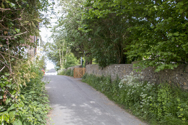
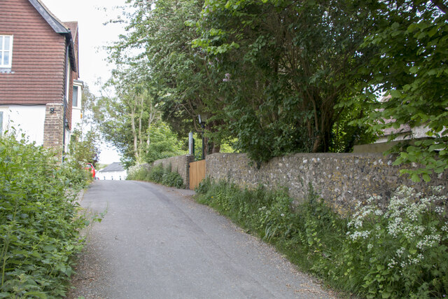
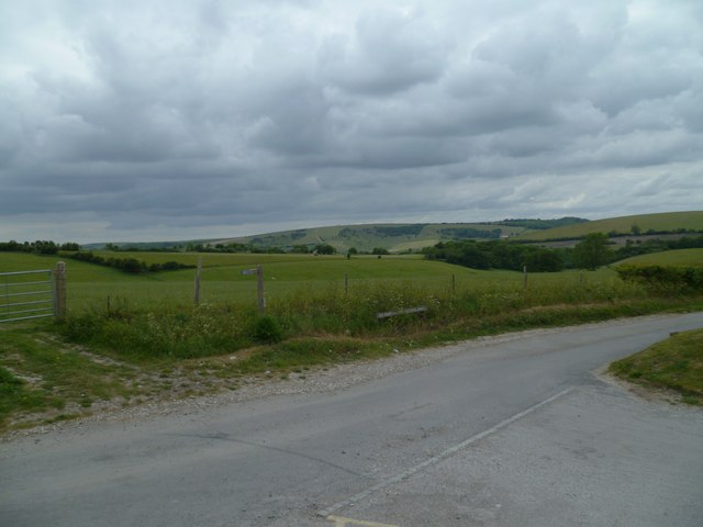
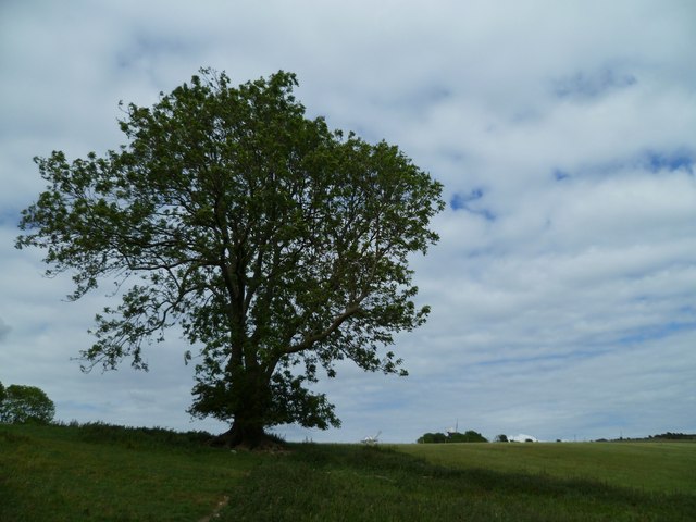
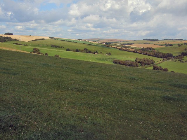
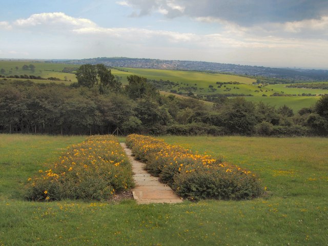
Pangdean Holt is a picturesque woodland area located in the county of Sussex, England. Situated near the village of Pyecombe, the holt is known for its enchanting natural beauty and diverse array of flora and fauna. Covering an expansive area, the woodland is predominantly composed of native deciduous trees, such as oak, ash, and beech, which create a vibrant and ever-changing landscape throughout the seasons.
The holt is a haven for wildlife, providing a habitat for numerous species. Visitors to Pangdean Holt may be fortunate enough to spot a variety of birds, including woodpeckers, owls, and thrushes, as well as small mammals like squirrels and hedgehogs. The woodland also supports a rich insect population, with butterflies and dragonflies fluttering through the sun-dappled glades.
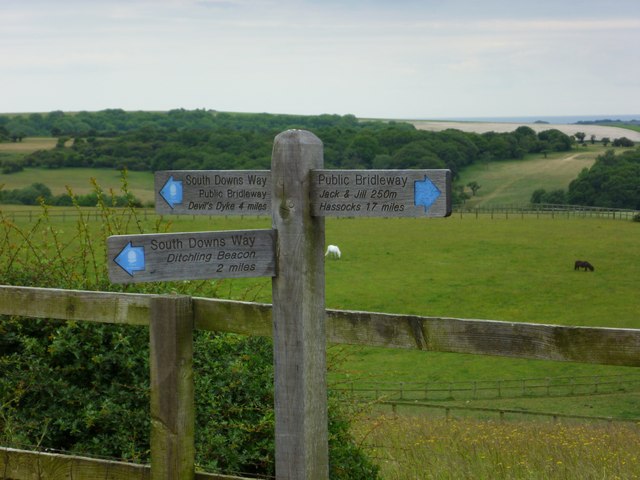
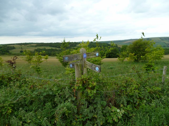
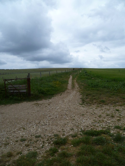
The woodland is crisscrossed by a network of well-maintained footpaths, allowing visitors to explore the area and immerse themselves in its natural splendor. These paths wind through the trees, leading to hidden clearings and secluded spots, perfect for picnics or simply enjoying the tranquility of the surroundings.
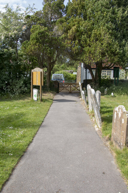
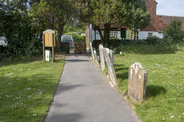
Pangdean Holt holds great historical and cultural significance, with evidence of human activity dating back centuries. The area was once part of the ancient Sussex Weald, a forest that covered much of the region. Today, the holt stands as a remnant of this ancient woodland, offering visitors a glimpse into the area's past.
Overall, Pangdean Holt is a captivating destination for nature lovers and those seeking a peaceful retreat. With its breathtaking scenery, diverse wildlife, and rich history, this woodland area in Sussex is truly a gem to be cherished.
If you have any feedback on the listing, please let us know in the comments section below.
Pangdean Holt Images
Images are sourced within 2km of 50.887276/-0.15062063 or Grid Reference TQ3011. Thanks to Geograph Open Source API. All images are credited.

Pangdean Holt is located at Grid Ref: TQ3011 (Lat: 50.887276, Lng: -0.15062063)
Administrative County: West Sussex
District: Mid Sussex
Police Authority: Sussex
What 3 Words
///puddings.headstone.milk. Near Ditchling, East Sussex
Nearby Locations
Related Wikis

Chattri, Brighton
The Chattri is a war memorial in the English city of Brighton and Hove. It is sited 500 feet (150 m) above the city on the South Downs above the suburb...

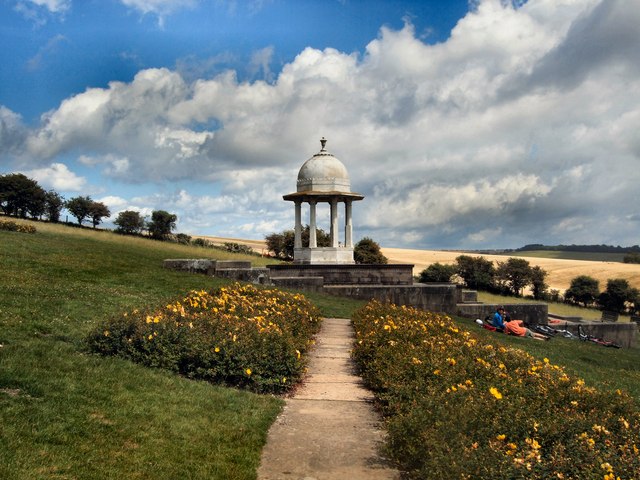
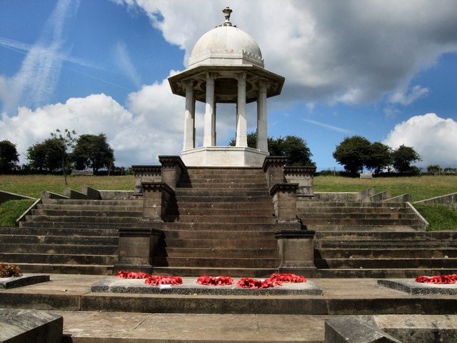
Patcham Pylon
The Patcham Pylon is a monumental gateway erected in 1928 near Patcham in East Sussex, England. Designed by local architect John Leopold Denman and paid...

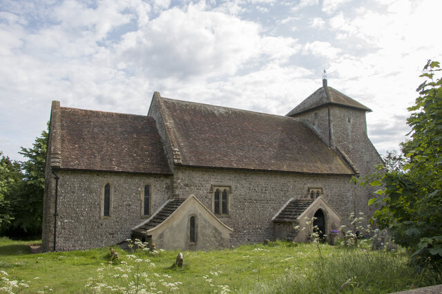
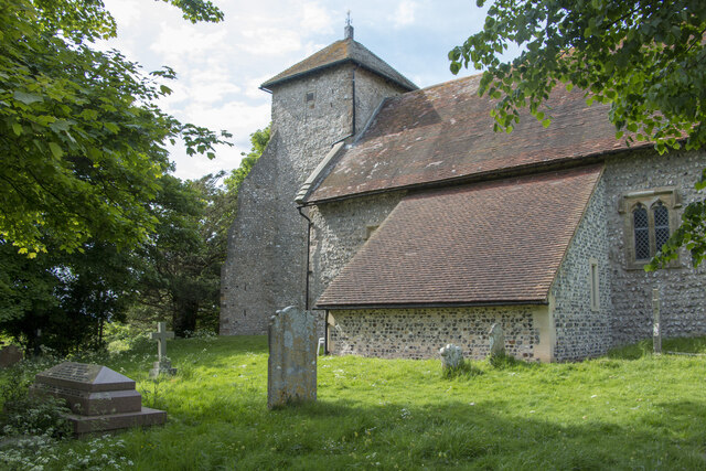
Church of the Transfiguration, Pyecombe
The Church of the Transfiguration is the Church of England parish church of the village of Pyecombe, in the Mid Sussex District of West Sussex, England...
Pyecombe
Pyecombe is a village and civil parish in the Mid Sussex District of West Sussex, England. Pyecombe is located 7 miles (11 km) to the north of Brighton...

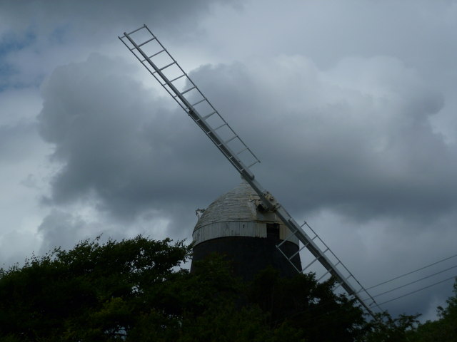
Clayton Windmills
The Clayton Windmills, known locally as Jack and Jill, stand on the South Downs above the village of Clayton, West Sussex, England. They comprise a post...

All Saints Church, Patcham
All Saints Church is the Anglican parish church of Patcham, an ancient Sussex village which is now part of the English city of Brighton and Hove. A place...

Patcham Place
Patcham Place is a mansion in the ancient village of Patcham, now part of the English city of Brighton and Hove. Built in 1558 as part of the Patcham...

Patcham Tunnel
Patcham Tunnel (or Compulsory Tunnel) is a railway tunnel on the Brighton Main Line through the South Downs between Preston Park and Hassocks in East Sussex...
Nearby Amenities
Located within 500m of 50.887276,-0.15062063Have you been to Pangdean Holt?
Leave your review of Pangdean Holt below (or comments, questions and feedback).