Meredith's Covert

Wood, Forest in Lincolnshire East Lindsey

England

Meredith's Covert

Cadwell Park: aerial 2022 (0)
Cadwell Park: aerial 2022 (0) Credit: Simon Tomson

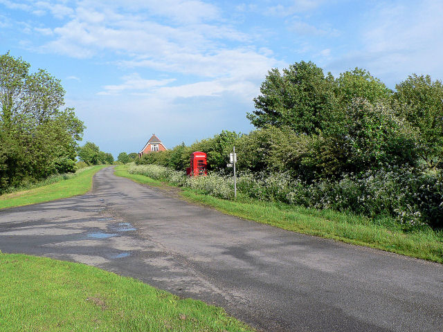
Meredith's Covert is a picturesque woodland located in Lincolnshire, England. Spanning across a sprawling area, this forested area is known for its rich biodiversity and tranquil atmosphere. The covert is named after the prominent landowner, Meredith, who was instrumental in preserving and maintaining the natural beauty of the wood.

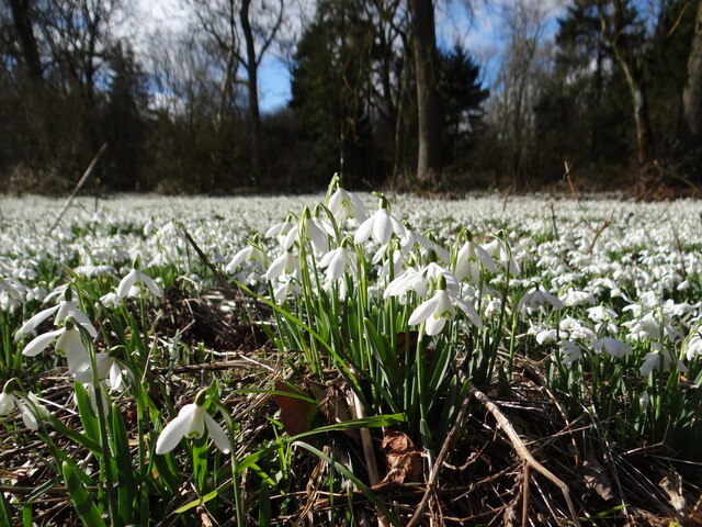
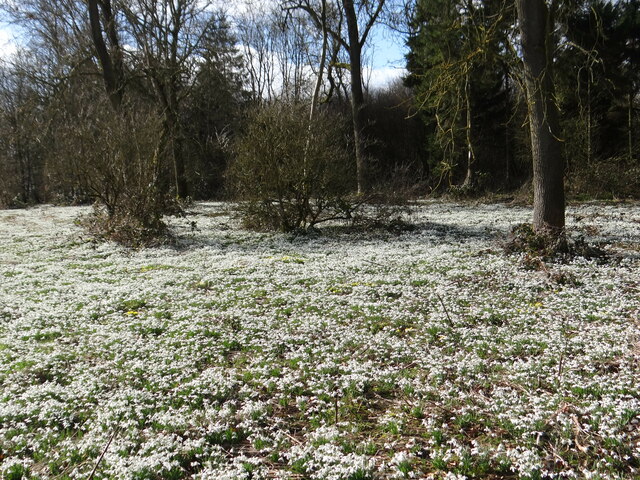
The woodland features a diverse range of tree species, including oak, birch, beech, and pine, which create a dense canopy overhead. The forest floor is covered in a thick carpet of moss, ferns, and wildflowers, providing a haven for a variety of wildlife.

The ecosystem within Meredith's Covert is teeming with animal life. It is home to an array of bird species, such as woodpeckers, owls, and songbirds, which fill the air with their melodic tunes. Visitors may also spot mammals like deer, foxes, and small rodents scurrying about, adding to the charm of the woodland.

Several walking trails wind through the forest, offering visitors the opportunity to explore its enchanting beauty. The trails are well-maintained, making it easy for hikers and nature enthusiasts to navigate through the woods. Along the way, there are benches and picnic areas strategically placed, providing visitors with the chance to rest and take in the serene surroundings.

Meredith's Covert is a popular destination for nature lovers, photographers, and those seeking a peaceful retreat. Its untouched beauty and tranquil ambiance make it an ideal place to reconnect with nature and escape the hustle and bustle of everyday life.

If you have any feedback on the listing, please let us know in the comments section below.

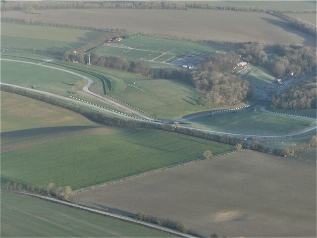
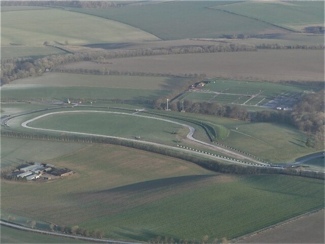
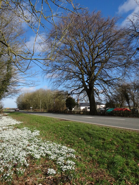
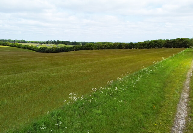
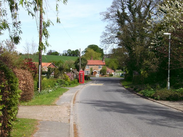
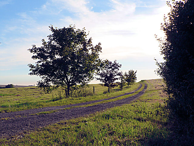
Meredith's Covert Images

Images are sourced within 2km of 53.31662/-0.047266506 or Grid Reference TF3081. Thanks to Geograph Open Source API. All images are credited.

Cadwell Park: aerial 2022 (0)
Cadwell Park: aerial 2022 (2)
Carpet of snow Wonderful snow(drop) covered Lodge Plantation.  You can't just drive past!
Carpet of snow
Wonderful snow(drop) covered Lodge Plantation. You can't just drive past!
Snow in the Wolds Like a dusting of snow, these snowdrops in Lodge Plantation bring joy to the passer-by.
Snow in the Wolds
Like a dusting of snow, these snowdrops in Lodge Plantation bring joy to the passer-by.
Snowdrops by the A153 Look to the left for more detail! 
<a href="https://www.geograph.org.uk/photo/7103930">TF2881 : Carpet of snow</a>
<a href="https://www.geograph.org.uk/photo/7103931">TF2881 : Snow in the Wolds</a>
Snowdrops by the A153
Look to the left for more detail! TF2881 : Carpet of snow TF2881 : Snow in the Wolds
Ponds north of Cadwell: aerial 2022
Tathwell Long Barrow north of Cadwell: aerial 2022 See <span class="nowrap"><a title="https://www.heritagegateway.org.uk/Gateway/Results_Single.aspx?uid=MLI43625&resourceID=1006" rel="nofollow ugc noopener" href="https://www.heritagegateway.org.uk/Gateway/Results_Single.aspx?uid=MLI43625&resourceID=1006">Link</a><img style="margin-left:2px;" alt="External link" title="External link - shift click to open in new window" src="https://s1.geograph.org.uk/img/external.png" width="10" height="10"/></span>
Tathwell Long Barrow north of Cadwell: aerial 2022
See LinkExternal link
Field near Cadwell Park Taken from a farm track, the Motor Racing Circuit can be glimpsed in the distance.
Field near Cadwell Park
Taken from a farm track, the Motor Racing Circuit can be glimpsed in the distance.
Tathwell Grange: aerial 2022
Field with Liquid Fertiliser Tank The tank is very large - about the size of a petrol bowser.
Field with Liquid Fertiliser Tank
The tank is very large - about the size of a petrol bowser.
Threewheelers at Cadwell Hairpin, 1988 Vintage motor cycle racing at Cadwell Park Circuit.
Threewheelers at Cadwell Hairpin, 1988
Vintage motor cycle racing at Cadwell Park Circuit.
Cadwell Park paddock Vintage motor cycles in the scrutineering area of Cadwell paddock. The track is to the left of, and below the white building. The buildings have been upgraded since this was taken on 16/17 May 1987 - see <a href="https://www.geograph.org.uk/photo/439633">TF2981 : The paddock, Cadwell Park</a> for a 2007 view.
Cadwell Park paddock
Vintage motor cycles in the scrutineering area of Cadwell paddock. The track is to the left of, and below the white building. The buildings have been upgraded since this was taken on 16/17 May 1987 - see TF2981 : The paddock, Cadwell Park for a 2007 view.
Cadwell Park, start line Brough Superiors on display at the start/finish line of the full circuit at Cadwell, 1987
Cadwell Park, start line
Brough Superiors on display at the start/finish line of the full circuit at Cadwell, 1987
Cadwell Park, top of 'The Mountain' Before racing commences, taken from beside the paddock seating.  The motorcyclist has just come over the summit of 'the mountain' and is travelling in the normal racing direction, on the full circuit. The lower track is the start/finish area for the full circuit. The hairpin for the short circuit is behind the tree in the centre.
Cadwell Park, top of 'The Mountain'
Before racing commences, taken from beside the paddock seating. The motorcyclist has just come over the summit of 'the mountain' and is travelling in the normal racing direction, on the full circuit. The lower track is the start/finish area for the full circuit. The hairpin for the short circuit is behind the tree in the centre.
Farmland between Dovendale and Cadwell Looking towards Poke's Hole across the sweeping Wolds countryside along the Horncastle Road. Tathwell Long Barrow is just out of sight on the left. <span class="nowrap"><a title="http://www.themodernantiquarian.com/post/22589" rel="nofollow ugc noopener" href="http://www.themodernantiquarian.com/post/22589">Link</a><img style="margin-left:2px;" alt="External link" title="External link - shift click to open in new window" src="https://s1.geograph.org.uk/img/external.png" width="10" height="10"/></span>
Farmland between Dovendale and Cadwell
Looking towards Poke's Hole across the sweeping Wolds countryside along the Horncastle Road. Tathwell Long Barrow is just out of sight on the left. LinkExternal link
Cadwell Park circuit - Chris Curve
The paddock, Cadwell Park The same view as <a href="https://www.geograph.org.uk/photo/165217">TF2981 : Cadwell Park paddock</a>, 20 years on - the shelters have been removed and buildings replaced. The competitors collect here for each race.
The paddock, Cadwell Park
The same view as TF2981 : Cadwell Park paddock, 20 years on - the shelters have been removed and buildings replaced. The competitors collect here for each race.
Cadwell Vale Farmland alongside Cadwell Park motor racing circuit. The lane on the right is used as an exit lane for retrieving broken down vehicles from part of the circuit.   Yarrow (Achillea millefolium) flowering in the verge.
Cadwell Vale
Farmland alongside Cadwell Park motor racing circuit. The lane on the right is used as an exit lane for retrieving broken down vehicles from part of the circuit. Yarrow (Achillea millefolium) flowering in the verge.
Show me another place!

Meredith's Covert is located at Grid Ref: TF3081 (Lat: 53.31662, Lng: -0.047266506)

Administrative County: Lincolnshire

District: East Lindsey

Police Authority: Lincolnshire

What 3 Words

///unpacked.observes.other. Near Burwell, Lincolnshire

Nearby Locations

Meredith's Covert

Related Wikis

Cadwell Park

Cadwell Park is a motor racing circuit in Lincolnshire, England, 5 mi (8.0 km) south of Louth, owned and operated by MotorSport Vision, a business associated...

Tathwell

Tathwell is a village in the East Lindsey district of Lincolnshire, England. Tathwell is situated approximately 3 miles (5 km) south from the market town...

Maltby, Lincolnshire

Maltby is a hamlet in the East Lindsey district of Lincolnshire, England. It forms part of Raithby cum Maltby civil parish, and is situated on the A153...

Withcall railway station

Withcall railway station was a station in Withcall, Lincolnshire, England. == History == The Great Northern Railway planned and built a branch line from...

Maltby Preceptory

Maltby Preceptory was a house of the Knights Hospitaller in the village of Maltby, Lincolnshire, England. There are two differing accounts regarding its...

Withcall

Withcall is a small farming village and civil parish in the East Lindsey district of Lincolnshire, England. It lies within the Lincolnshire Wolds, and...

Cawkwell

Cawkwell is a hamlet and former civil parish, now in the parish of Scamblesby, in the East Lindsey district of Lincolnshire, England. It is situated approximately...

Maidenwell, Lincolnshire

Maidenwell is a village and civil parish in the East Lindsey district of Lincolnshire, England. The village is 6 miles (10 km) south from Louth. Maidenwell...

Nearby Amenities

Located within 500m of 53.31662,-0.047266506
Power: pole
Lat/Long: 53.3204973/-0.043965
The data included in this document is from www.openstreetmap.org. The data is made available under ODbL.

Have you been to Meredith's Covert?

Leave your review of Meredith's Covert below (or comments, questions and feedback).