Linford Wood

Wood, Forest in Lincolnshire East Lindsey

England

Linford Wood

The pond at South Elkington
The pond at South Elkington Credit: David Brown

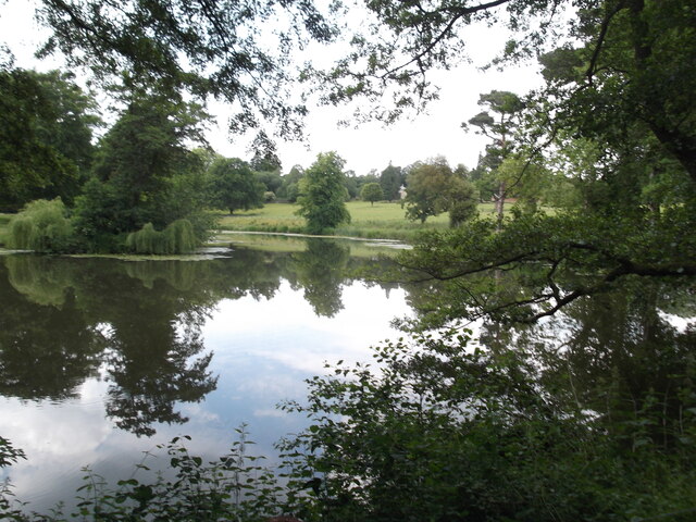
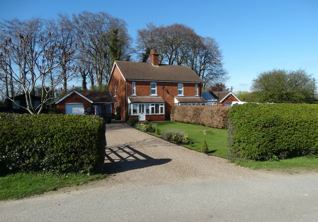
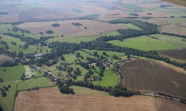
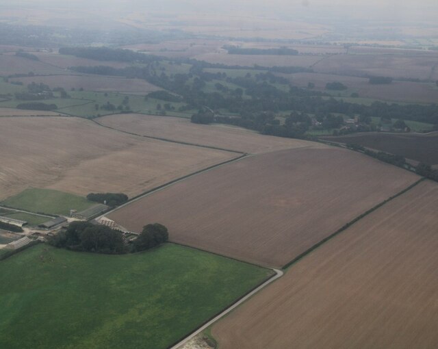
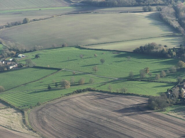
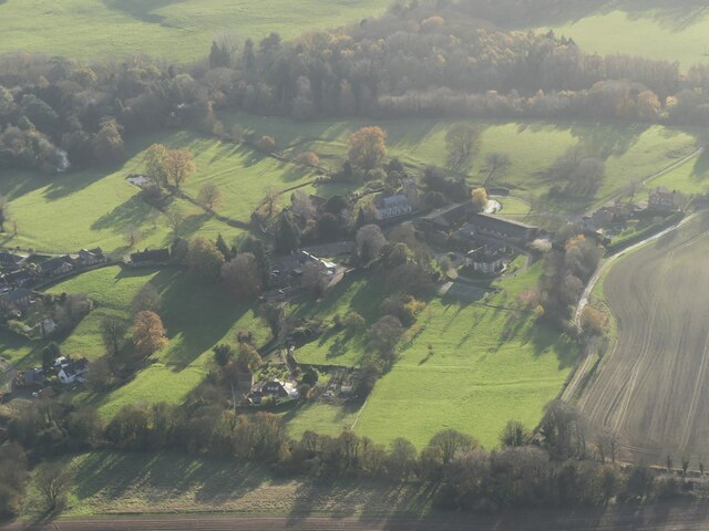
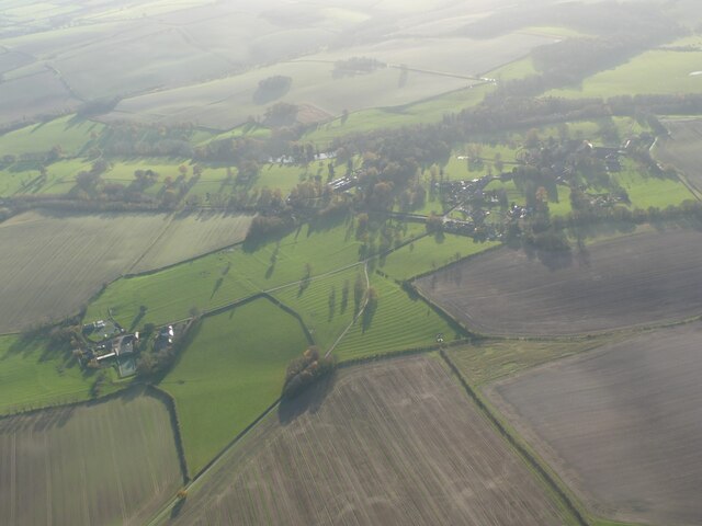
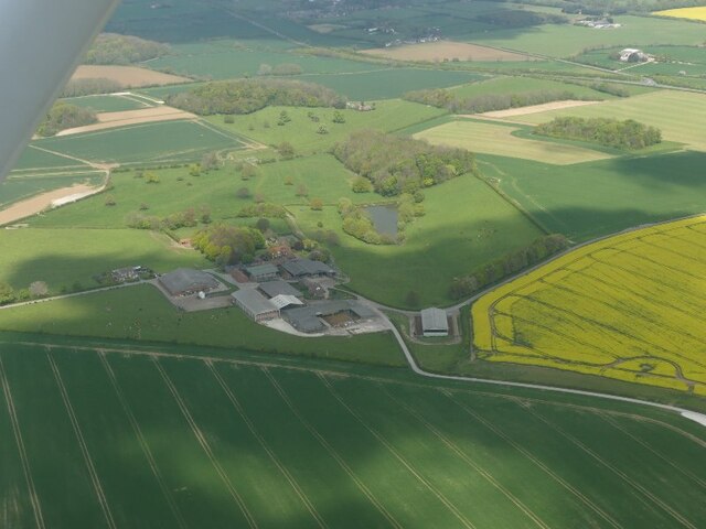
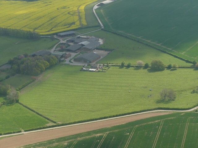
Linford Wood is a large woodland area located in Lincolnshire, England. It is situated on the outskirts of the city of Lincoln and covers an area of approximately 200 acres. The woodland is known for its picturesque scenery and diverse range of flora and fauna.

The wood features a mix of broadleaf and coniferous trees, including oak, beech, birch, and pine. These trees provide a habitat for numerous species of birds, mammals, and insects, making it a popular spot for nature enthusiasts and birdwatchers.

Linford Wood offers a variety of walking trails and paths, allowing visitors to explore the area at their own pace. The paths are well-maintained and suitable for all ages and abilities. Along the trails, one can find benches and picnic spots, providing a perfect opportunity to relax and enjoy the peaceful surroundings.

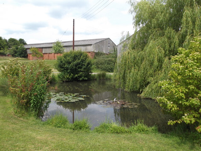
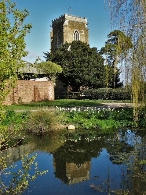
The woodland is also home to a small pond, which attracts a range of aquatic species such as ducks and frogs. This pond adds to the overall beauty and tranquility of the area.

Linford Wood is easily accessible by car, with ample parking available nearby. It is also well-connected by public transport, with regular bus services stopping close to the entrance.

Overall, Linford Wood offers a peaceful and scenic escape from the hustle and bustle of city life. Whether it's for a leisurely stroll, birdwatching, or simply enjoying nature, this woodland is a hidden gem in Lincolnshire.

If you have any feedback on the listing, please let us know in the comments section below.

Linford Wood Images

Images are sourced within 2km of 53.384221/-0.044219151 or Grid Reference TF3089. Thanks to Geograph Open Source API. All images are credited.

The pond at South Elkington
Heron Lake
Heron Lake
All Saints Church, South Elkington
Corner Cottage,  South Elkington
Corner Cottage, South Elkington
Tractor heading to North Elkington
Triangulation pillar at Church Top Farm TP2176  Flush Bracket : S2609
Triangulation pillar at Church Top Farm
TP2176 Flush Bracket : S2609
Church Top Cottages, Church Top Farm
All Saints Church, South Elkington and reflection Reflected in the village pond
All Saints Church, South Elkington and reflection
Reflected in the village pond
South Elkington: aerial 2023 (1)
South Elkington: aerial 2023 (2)
Church Top Farm to South Elkington: aerial 2023
Ridge and furrow, South Elkington: aerial 2023 (1)
South Elkington: aerial 2023
Ridge and furrow, South Elkington: aerial 2023 (2)
Ridge and furrow, South Elkington: aerial 2023 (3)
Site of Acthorpe Medieval Village: aerial 2022 (2) See: <span class="nowrap"><a title="https://www.heritagegateway.org.uk/Gateway/Results_Single.aspx?uid=MLI41161&resourceID=1006" rel="nofollow ugc noopener" href="https://www.heritagegateway.org.uk/Gateway/Results_Single.aspx?uid=MLI41161&resourceID=1006">Link</a><img style="margin-left:2px;" alt="External link" title="External link - shift click to open in new window" src="https://s1.geograph.org.uk/img/external.png" width="10" height="10"/></span>
Site of Acthorpe Medieval Village: aerial 2022 (2)
See: LinkExternal link
Site of Acthorpe Medieval Village: aerial 2022 (1) See: <span class="nowrap"><a title="https://www.heritagegateway.org.uk/Gateway/Results_Single.aspx?uid=MLI41161&resourceID=1006" rel="nofollow ugc noopener" href="https://www.heritagegateway.org.uk/Gateway/Results_Single.aspx?uid=MLI41161&resourceID=1006">Link</a><img style="margin-left:2px;" alt="External link" title="External link - shift click to open in new window" src="https://s1.geograph.org.uk/img/external.png" width="10" height="10"/></span>
Site of Acthorpe Medieval Village: aerial 2022 (1)
See: LinkExternal link
Site of Acthorpe Medieval Village: aerial 2022 (3) See: <span class="nowrap"><a title="https://www.heritagegateway.org.uk/Gateway/Results_Single.aspx?uid=MLI41161&resourceID=1006" rel="nofollow ugc noopener" href="https://www.heritagegateway.org.uk/Gateway/Results_Single.aspx?uid=MLI41161&resourceID=1006">Link</a><img style="margin-left:2px;" alt="External link" title="External link - shift click to open in new window" src="https://s1.geograph.org.uk/img/external.png" width="10" height="10"/></span>
Site of Acthorpe Medieval Village: aerial 2022 (3)
See: LinkExternal link
Show me another place!

Linford Wood is located at Grid Ref: TF3089 (Lat: 53.384221, Lng: -0.044219151)

Administrative County: Lincolnshire

District: East Lindsey

Police Authority: Lincolnshire

What 3 Words

///pollution.topping.postings. Near Louth, Lincolnshire

Related Wikis

Acthorpe

Acthorpe is a hamlet in the East Lindsey district of Lincolnshire, England. It is situated approximately 2 miles (3 km) north-west from the town of Louth...

Louth North railway station

Louth North railway station is the future southern terminus of the Lincolnshire Wolds Railway where it will occupy a new site on the Fairfield industrial...

County Hospital Louth

County Hospital Louth is a healthcare facility in High Holme Road, Louth, Lincolnshire, England. It is managed by United Lincolnshire Hospitals NHS Trust...

Fotherby Halt railway station

Fotherby Halt was a railway halt on the East Lincolnshire Railway which served the village of Fotherby in Lincolnshire between 1905 and 1961. The station...

Hubbard's Hills

Hubbard's Hills is an area of natural beauty directly to the west of Louth, Lincolnshire, England and is popular for family picnics, school field trips...

Wolds College

The Wolds College was a further education college based in Louth, Lincolnshire. == History == It was built from November 2007 next door to Cordeaux School...

Cordeaux Academy

Cordeaux Academy (formerly Cordeaux School) was a coeducational secondary school and sixth form with academy status, located on North Holme Road in Louth...

Fotherby

Fotherby is a village and civil parish in the East Lindsey district of Lincolnshire, England. It is situated just east from the A16 road, 13 miles (21...

Nearby Amenities

Located within 500m of 53.384221,-0.044219151
Power: pole
Lat/Long: 53.3847098/-0.0374371
Power: pole
Lat/Long: 53.3850377/-0.0383938
Power: pole
Lat/Long: 53.3852673/-0.0391094
Power: pole
Lat/Long: 53.3854779/-0.040107
Power: pole
Lat/Long: 53.3856788/-0.0409827
Power: pole
Lat/Long: 53.3858806/-0.0418127
Power: pole
Lat/Long: 53.386123/-0.0429384
Power: pole
Lat/Long: 53.3863485/-0.0439844
Power: pole
Lat/Long: 53.38658/-0.0450062
Power: pole
Lat/Long: 53.3868038/-0.0460267
Power: pole
Lat/Long: 53.3870479/-0.0470557
Power: pole
Lat/Long: 53.387203/-0.047944
Power: pole
Lat/Long: 53.3878811/-0.0483689
The data included in this document is from www.openstreetmap.org. The data is made available under ODbL.

Have you been to Linford Wood?

Leave your review of Linford Wood below (or comments, questions and feedback).