Ackthorpe Village
Heritage Site in Lincolnshire East Lindsey
England
Ackthorpe Village
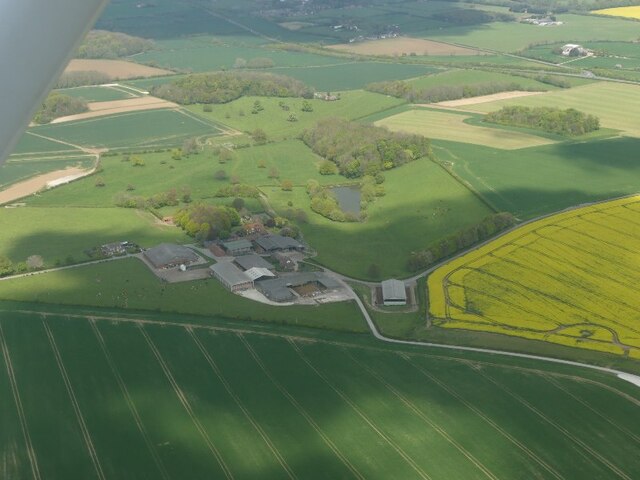
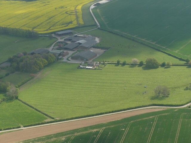
Ackthorpe Village is a historic heritage site located in Lincolnshire, England. Nestled in the picturesque countryside, this village is renowned for its well-preserved medieval architecture and charming rural atmosphere. Dating back to the 13th century, Ackthorpe Village provides a glimpse into the rich history and cultural heritage of the region.
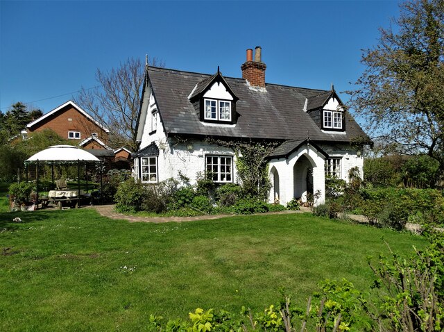
The village features a cluster of timber-framed houses, which have remained remarkably intact over the centuries. These traditional buildings showcase the distinctive architectural style prevalent during the medieval period, with their thatched roofs, exposed beams, and intricate woodwork. The village square, with its cobbled streets and quaint market cross, evokes a sense of stepping back in time.
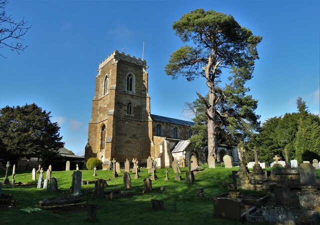
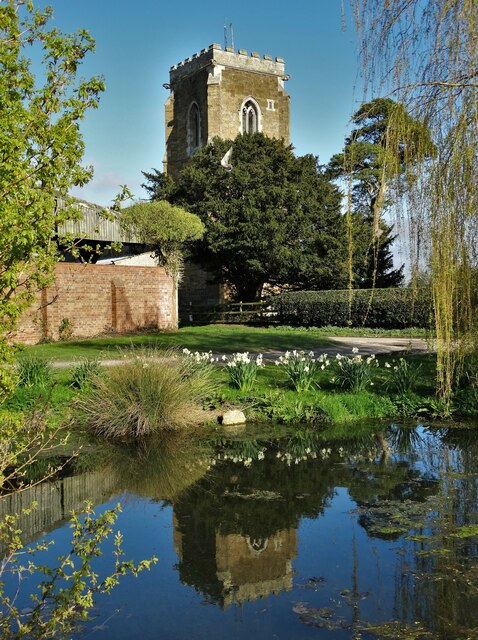
One of the notable attractions in Ackthorpe is the St. Mary's Church, a magnificent stone structure that dates back to the 14th century. This church is adorned with beautiful stained glass windows and houses several historical artifacts, including ancient tombs and memorial plaques.
Visitors to Ackthorpe Village can immerse themselves in its rich history by exploring the local museum, which displays a range of artifacts and documents from different periods. The museum offers an educational experience, shedding light on the daily life, traditions, and customs of the villagers throughout history.
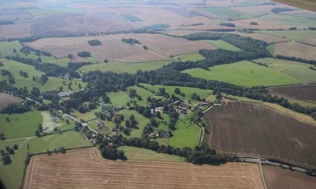
In addition to its historical significance, Ackthorpe Village is also a popular destination for nature enthusiasts. The surrounding countryside offers breathtaking views, with rolling hills, meandering streams, and abundant wildlife. Hiking trails and nature walks are available, allowing visitors to appreciate the natural beauty of the area.
Overall, Ackthorpe Village is a treasure trove of history and natural beauty, making it a must-visit destination for those seeking a glimpse into the past and a peaceful retreat in the heart of Lincolnshire.
If you have any feedback on the listing, please let us know in the comments section below.
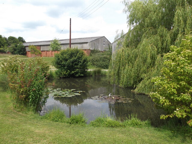
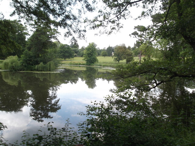
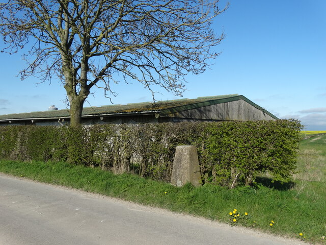
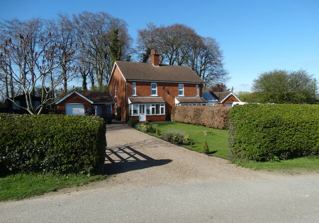
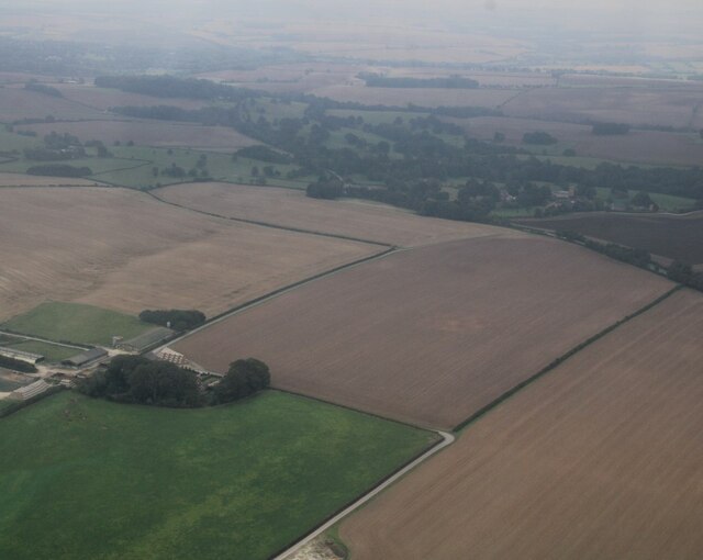
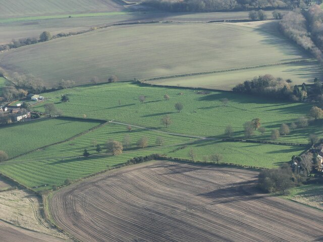
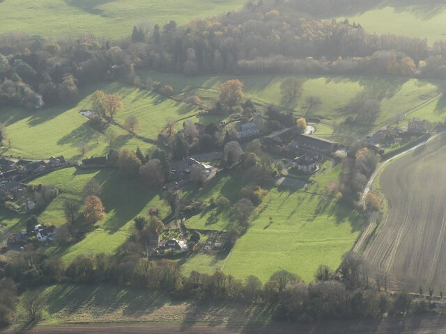
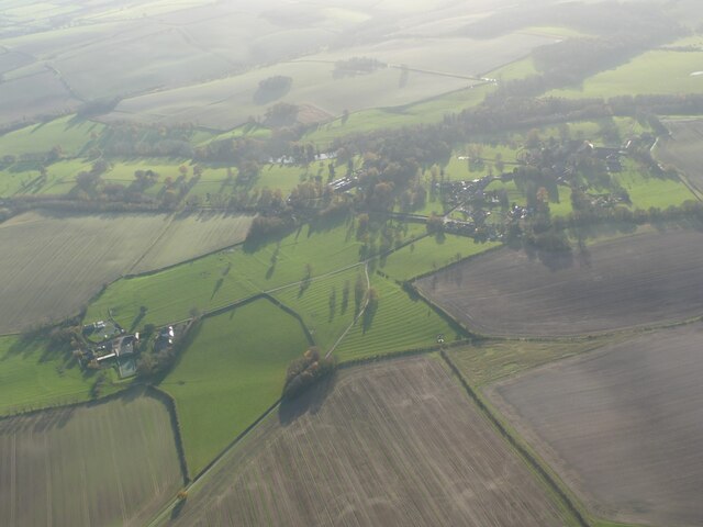
Ackthorpe Village Images
Images are sourced within 2km of 53.385/-0.037 or Grid Reference TF3089. Thanks to Geograph Open Source API. All images are credited.


Ackthorpe Village is located at Grid Ref: TF3089 (Lat: 53.385, Lng: -0.037)
Division: Parts of Lindsey
Administrative County: Lincolnshire
District: East Lindsey
Police Authority: Lincolnshire
What 3 Words
///nicknames.builds.elevate. Near Louth, Lincolnshire
Nearby Locations
Related Wikis

Acthorpe
Acthorpe is a hamlet in the East Lindsey district of Lincolnshire, England. It is situated approximately 2 miles (3 km) north-west from the town of Louth...

Louth North railway station
Louth North railway station is the future southern terminus of the Lincolnshire Wolds Railway where it will occupy a new site on the Fairfield industrial...

County Hospital Louth
County Hospital Louth is a healthcare facility in High Holme Road, Louth, Lincolnshire, England. It is managed by United Lincolnshire Hospitals NHS Trust...
Wolds College
The Wolds College was a further education college based in Louth, Lincolnshire. == History == It was built from November 2007 next door to Cordeaux School...
Cordeaux Academy
Cordeaux Academy (formerly Cordeaux School) was a coeducational secondary school and sixth form with academy status, located on North Holme Road in Louth...

Fotherby Halt railway station
Fotherby Halt was a railway halt on the East Lincolnshire Railway which served the village of Fotherby in Lincolnshire between 1905 and 1961. The station...

Fotherby
Fotherby is a village and civil parish in the East Lindsey district of Lincolnshire, England. It is situated just east from the A16 road, 13 miles (21...
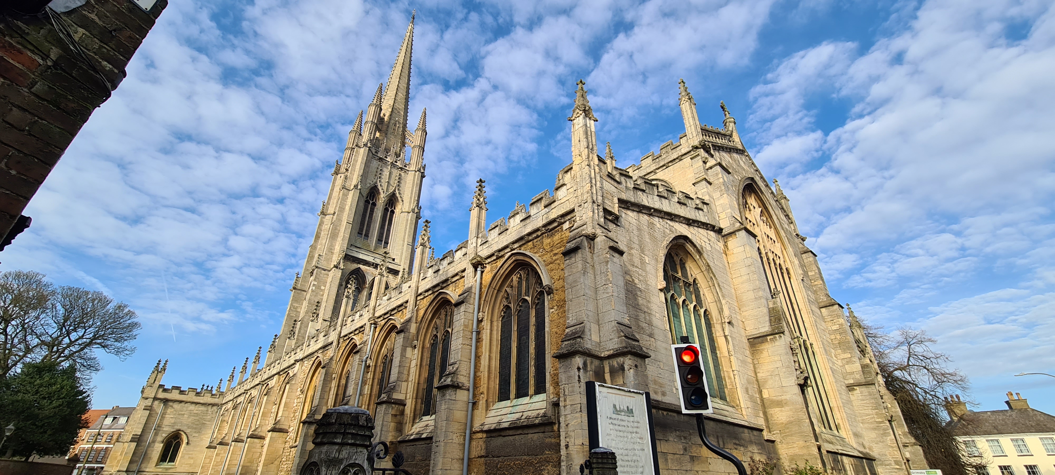
St James' Church, Louth
St James' Church, Louth, is the Anglican parish church of Louth in Lincolnshire, England. It is notable for having the third tallest spire in the whole...
Related Videos

MILLY HAD OTHER IDEAS WHERE TO GO ON HOLIDAY 😪
This week we hit a big problem only 500 yards from work But thanks to Crouch recovery Clutchfix Ltd And East coast Commercials ...

Walking in the Lincolnshire wolds - Muddy walk to the top of the hill and back. Louth, Lincolnshire
This is a route I sometimes walk my boys Harley and Luke. Starting at the Pavilion in Louth and following the public footpath up to ...

Louth Town Centre Afternoon Walk - 9th December 2022 - 4K
In this video I take you for a virtual December afternoon walk around the centre my beautiful home town of Louth in Lincolnshire, ...

A walk around Louth Lincolnshire market town centre 2019 see what it’s like
Louth is a market town and civil parish in the East Lindsey district of Lincolnshire, England. Louth is the principal town and centre ...
Nearby Amenities
Located within 500m of 53.385,-0.037Have you been to Ackthorpe Village?
Leave your review of Ackthorpe Village below (or comments, questions and feedback).