Ackling Dyke
Heritage Site in Dorset
England
Ackling Dyke
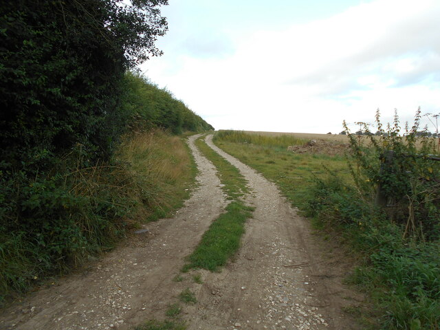
Ackling Dyke is an ancient trackway located in the county of Dorset, England. It stretches for approximately 22 miles, running in a north-south direction from the town of Sixpenny Handley to the village of Martin. The trackway is believed to have been used as a drover's road for livestock during the Roman period and possibly even earlier.
The name "Ackling Dyke" originates from the Old English words "aeccling," meaning oak, and "dic," meaning ditch. This refers to the presence of several ancient oak trees and the ditches that once lined the trackway. The ditches served as boundaries and markers for the livestock being driven along the route.
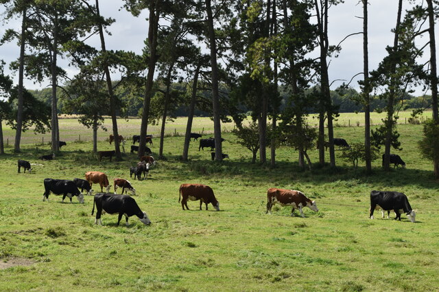
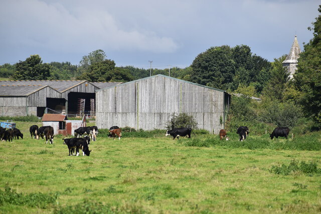
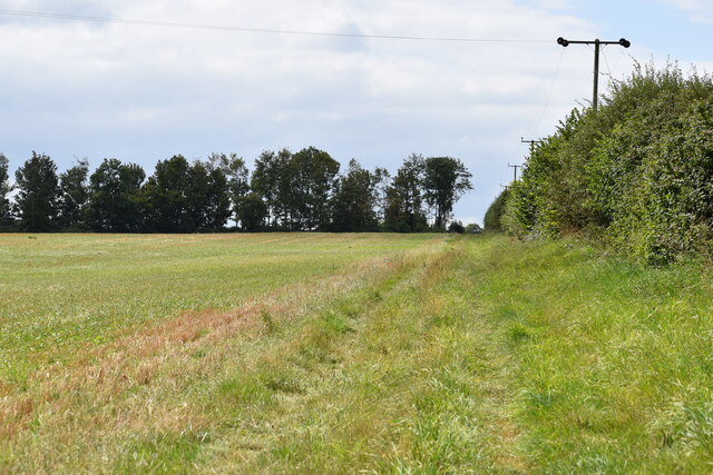
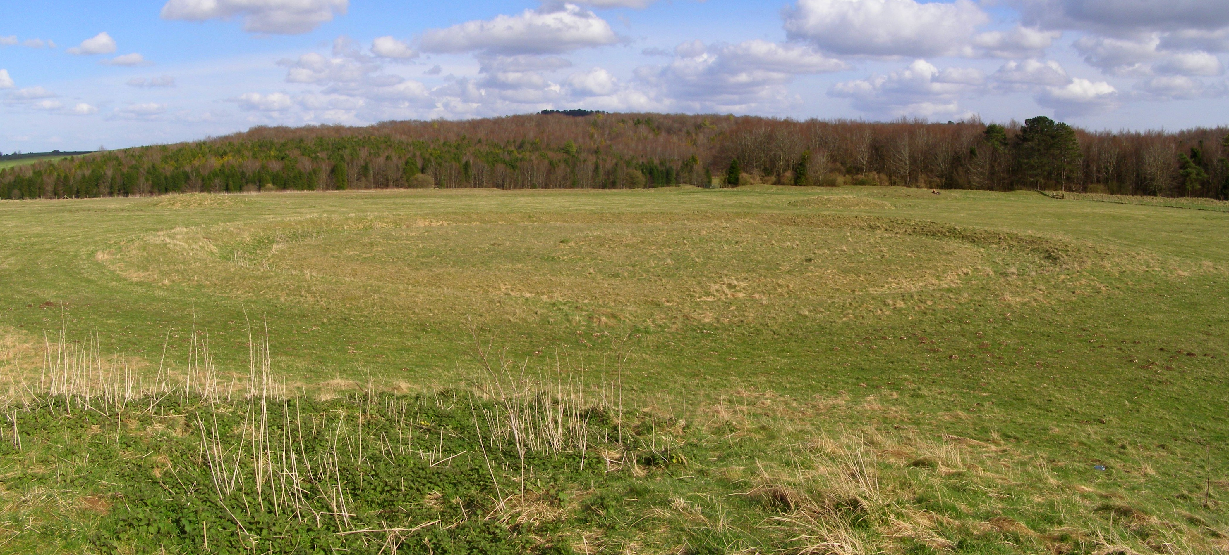
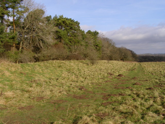
Today, Ackling Dyke is recognized as a heritage site and is protected by the National Trust. The trackway offers a unique glimpse into the region's ancient history and provides a peaceful and scenic walking route for visitors. The path is surrounded by rolling hills, open fields, and patches of woodland, creating a picturesque landscape.
Along the route, there are also several points of interest, including barrows, burial mounds, and other archaeological features. These remnants of the past provide further insight into the trackway's significance and the lives of those who once traveled along it.
Ackling Dyke is a popular destination for history enthusiasts, hikers, and nature lovers alike. Its rich history, combined with its natural beauty, makes it a fascinating and enjoyable place to explore in Dorset.
If you have any feedback on the listing, please let us know in the comments section below.
Ackling Dyke Images
Images are sourced within 2km of 50.947/-1.978 or Grid Reference SU0116. Thanks to Geograph Open Source API. All images are credited.


Ackling Dyke is located at Grid Ref: SU0116 (Lat: 50.947, Lng: -1.978)
Unitary Authority: Dorset
Police Authority: Dorset
What 3 Words
///router.snapper.poses. Near Bower Chalke, Wiltshire
Nearby Locations
Related Wikis

Dorset Cursus
The Dorset Cursus is a Neolithic cursus monument that spans across 10 km (6¼ miles) of the chalk downland of Cranborne Chase in east Dorset, United Kingdom...
Oakley Down Barrow Cemetery
Oakley Down Barrow Cemetery is a group of Bronze Age round barrows on Cranborne Chase, about 1 mile (1.6 km) east of the village of Sixpenny Handley in...

Wor Barrow
Wor Barrow is a Neolithic long barrow on Cranborne Chase, about 1 mile (1.6 km) east of Sixpenny Handley in Dorset, England. It is a scheduled monument...
Ackling Dyke
Ackling Dyke is a section of Roman road in England which runs for 22 miles (35 km) southwest from Old Sarum (Sorviodunum) to the hill fort at Badbury Rings...

Sixpenny Handley Hundred
Sixpenny Handley Hundred was a hundred in the county of Dorset, England. It originally consisted of two distinct hundreds: Sexpena and Hanlega. Sometime...

Pentridge
Pentridge is a village and former civil parish, now in the parish of Sixpenny Handley and Pentridge, in the Dorset district, in the ceremonial of Dorset...

Sixpenny Handley
Sixpenny Handley or Handley is a village and former civil parish, now in the parish of Sixpenny Handley and Pentridge, in north east Dorset, England,...
Woodyates
Woodyates is a hamlet, sometimes considered a village, in the county of Dorset, near its border with Wiltshire, in the west of England. == History == The...
Related Videos

Garston Walk | 4K Drone | Day Hike Saturday | 🇬🇧 Hiking UK | England
River Ver, historic St Albans and the Roman town of Verulamium Distance: 14.0 km (8.7 miles) Grading: Easy Rating: 2 out of 10 ...

Audi 80 round two!! Will the green beast come back to life!!!… one way to find out
So today we go for round do of reviving the other Audi 80 convertible!!! Fuel problems pump problems .. will the old goat run again ...

Recovery truck rebuilding part 2 !!! Fixing the cheap Mercedes we bought of Ebay !!
Part two for the cheats Mercedes recovery truck going!!! Today I weld big bits on !!

WALKS IN DORSET : Pentridge
This is another video on my series "Walks in Dorset" accompanied by my Whippet (Logan). In this episode I take a 4 mile circular ...
Nearby Amenities
Located within 500m of 50.947,-1.978Have you been to Ackling Dyke ?
Leave your review of Ackling Dyke below (or comments, questions and feedback).