Whin Hill
Hill, Mountain in Yorkshire
England
Whin Hill

Whin Hill is a prominent geographical feature located in the Yorkshire Dales, a region known for its stunning landscapes in northern England. It is situated in the county of Yorkshire, specifically in the northern part of the Nidderdale Area of Outstanding Natural Beauty.
Rising to an elevation of approximately 350 meters (1,150 feet), Whin Hill is classified as a hill rather than a mountain. It is part of a range of hills that stretch across the Nidderdale Valley, offering breathtaking views of the surrounding countryside. The hill is predominantly composed of gritstone, which gives it a distinctive rugged appearance.
Whin Hill is covered in a variety of vegetation, with grasses, heather, and bracken adorning its slopes. Additionally, the hill is punctuated by scattered trees and shrubs, adding to its natural beauty.
The area around Whin Hill is popular with hikers and nature enthusiasts, who are drawn to its picturesque scenery and abundance of wildlife. The hill provides ample opportunities for outdoor activities such as walking, birdwatching, and photography. Several well-marked trails traverse its slopes, allowing visitors to explore the area at their own pace.
Furthermore, Whin Hill is home to a diverse range of flora and fauna. The hillside provides a habitat for various species of birds, including peregrine falcons, buzzards, and curlews. Small mammals such as hares, rabbits, and voles can also be spotted in the area.
Overall, Whin Hill is a captivating natural landmark in Yorkshire, offering visitors a chance to immerse themselves in the scenic beauty and tranquility of the Yorkshire Dales.
If you have any feedback on the listing, please let us know in the comments section below.
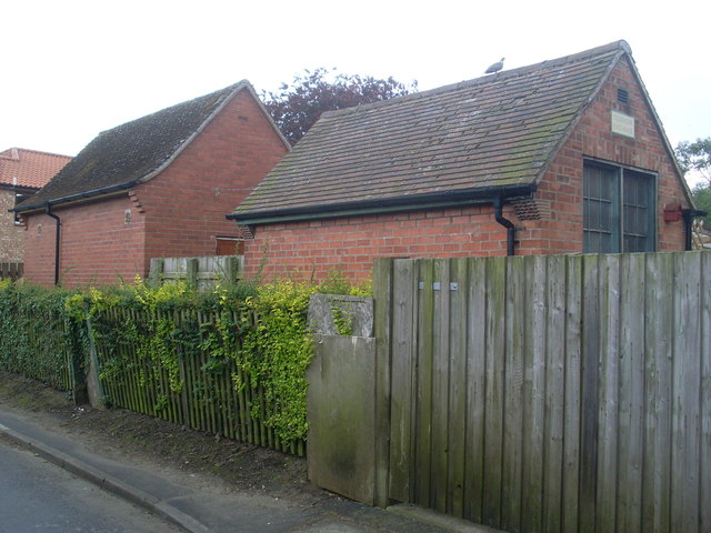
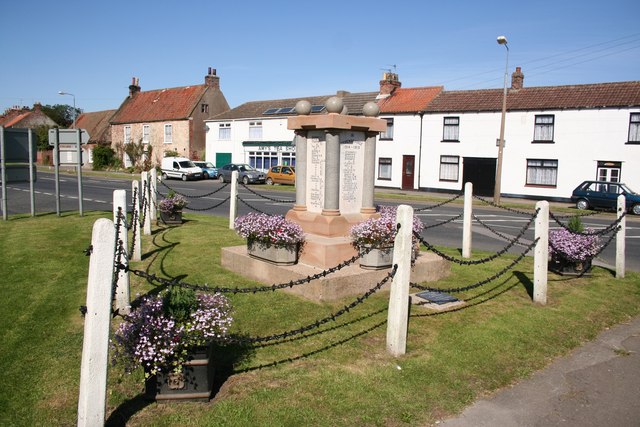
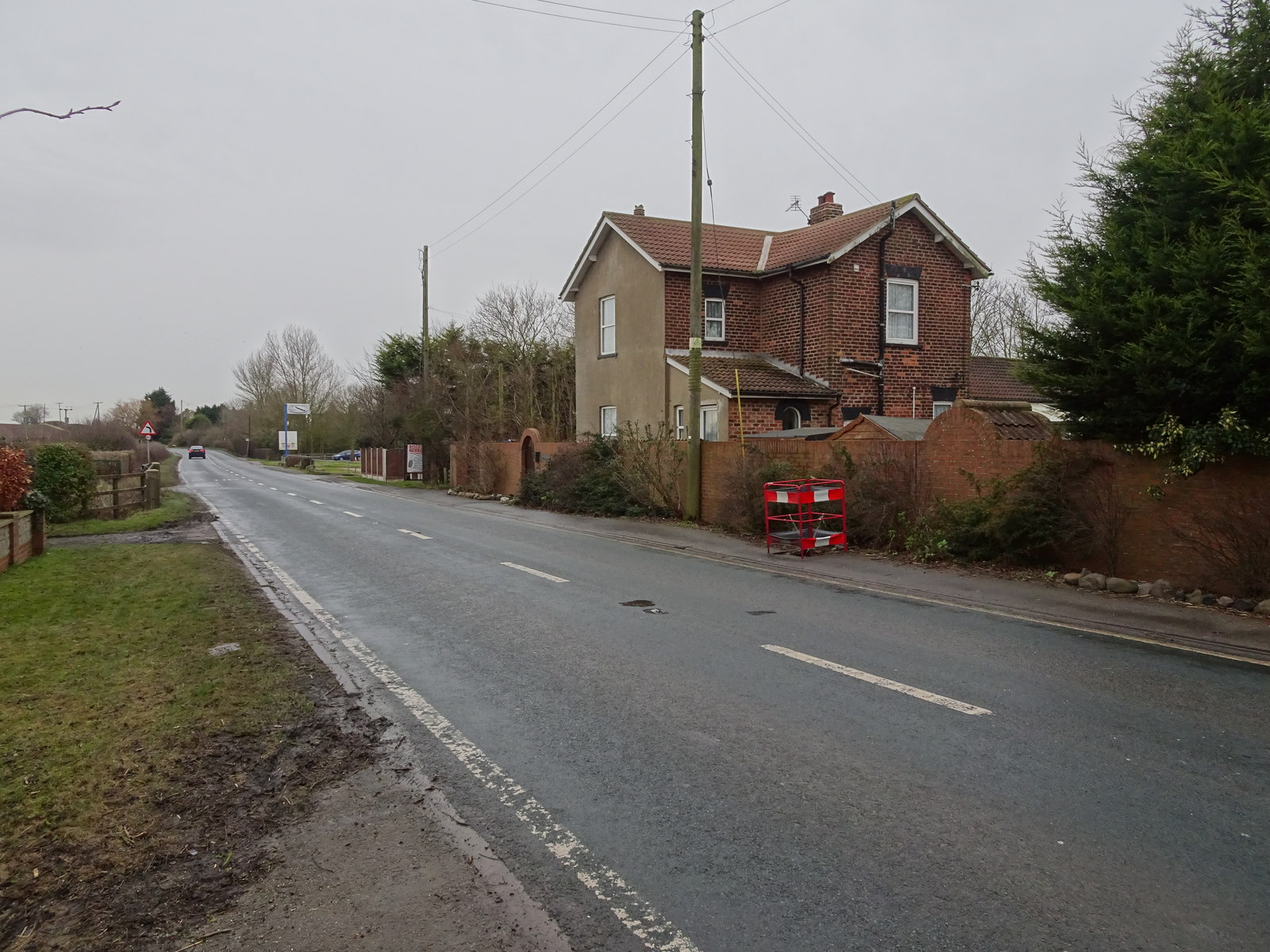
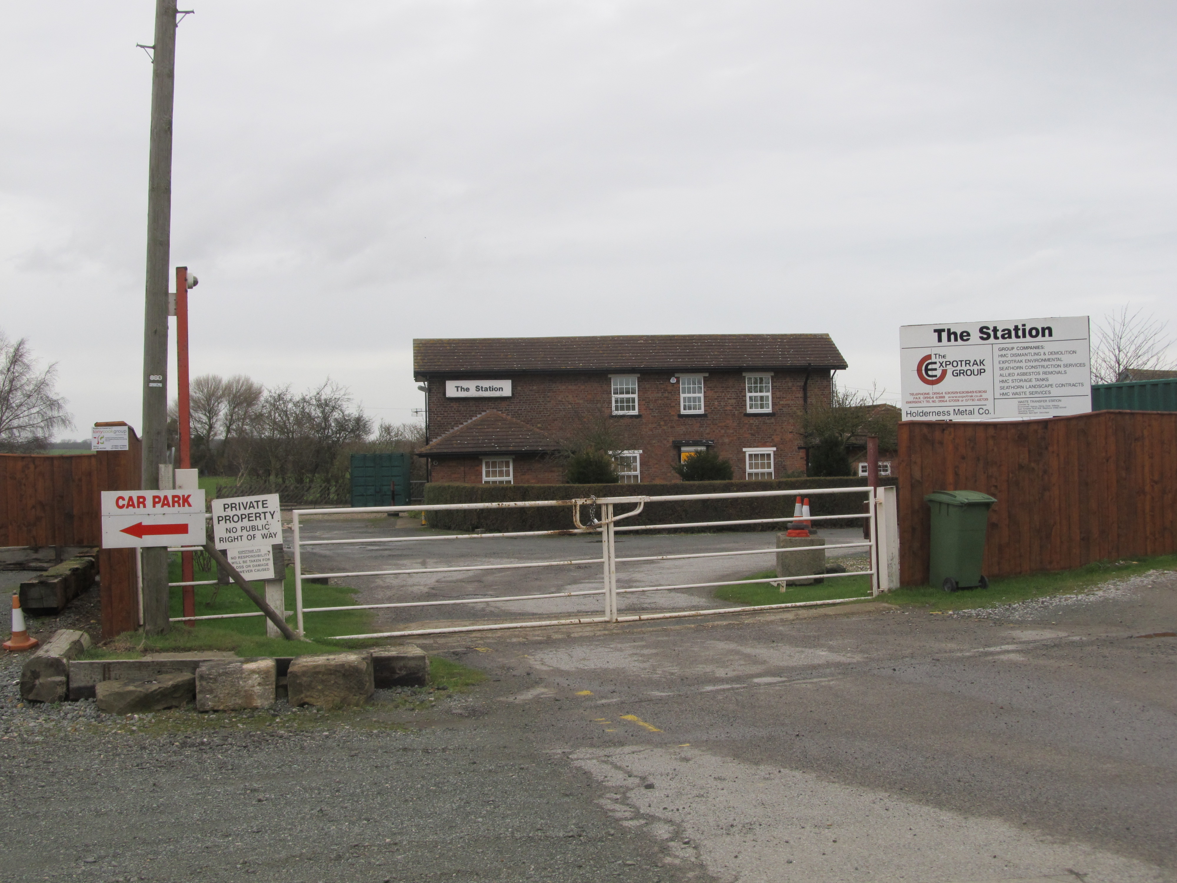
Whin Hill Images
Images are sourced within 2km of 53.695402/-0.022080595 or Grid Reference TA3023. Thanks to Geograph Open Source API. All images are credited.


Whin Hill is located at Grid Ref: TA3023 (Lat: 53.695402, Lng: -0.022080595)
Division: East Riding
Unitary Authority: East Riding of Yorkshire
Police Authority: Humberside
What 3 Words
///eruptions.cling.stored. Near Patrington, East Yorkshire
Nearby Locations
Related Wikis
Patrington Rural District
Patrington was a rural district in the East Riding of Yorkshire, England, from 1894 to 1935.The district formed the south-eastern part of the county, stretching...
Winestead railway station
Winestead railway station is a disused railway station on the North Eastern Railway's Hull and Holderness Railway to the south of Winestead, East Riding...
Patrington railway station
Patrington railway station is a disused railway station on the North Eastern Railway's Hull and Holderness Railway in Patrington, East Riding of Yorkshire...
Winestead
Winestead is a village in the civil parish of Patrington, in the East Riding of Yorkshire, England, in an area known as Holderness. It is situated approximately...
Patrington
Patrington is a large village and civil parish in the East Riding of Yorkshire, England, in an area known as Holderness, 9 miles (14 km) south-east of...
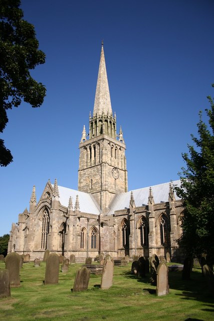
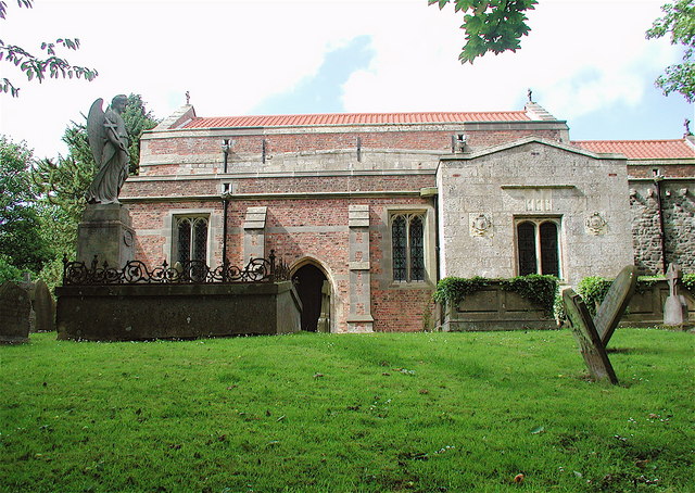
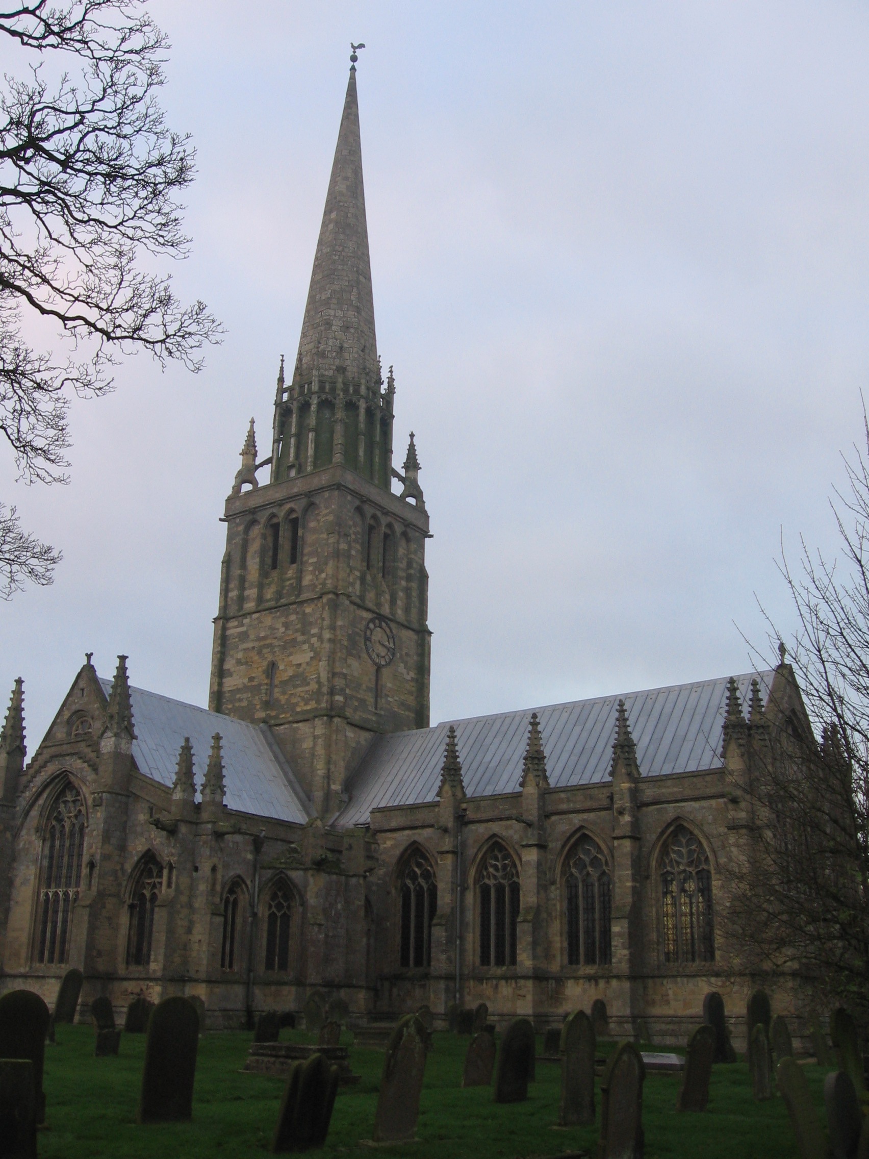
St Patrick's Church, Patrington
St Patrick's Church, Patrington is an Anglican parish church located in Patrington, East Riding of Yorkshire, England. The church is a Grade I listed building...

Winestead Hall
Winestead Hall was a large country house at Winestead in the East Riding of Yorkshire, England. == History == Sir Robert Hildyard, 2nd Baronet commissioned...
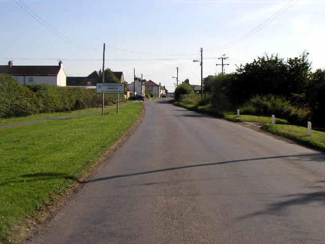
Patrington Haven
Patrington Haven is a hamlet in the East Riding of Yorkshire, England, in an area known as Holderness. It is situated approximately 8 miles (13 km) south...
Nearby Amenities
Located within 500m of 53.695402,-0.022080595Have you been to Whin Hill?
Leave your review of Whin Hill below (or comments, questions and feedback).