Jaw Bottom Plantation
Wood, Forest in Yorkshire
England
Jaw Bottom Plantation

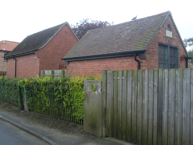
Jaw Bottom Plantation is a sprawling woodland located in Yorkshire, England. Situated in the heart of the county, it covers an extensive area, providing a serene and picturesque setting for visitors to explore. The plantation is part of the wider Yorkshire Dales National Park, renowned for its natural beauty and diverse ecosystems.
The woodland is primarily composed of an assortment of deciduous trees, including oak, beech, and birch, which create a rich tapestry of colors during autumn. Additionally, coniferous species like spruce and pine add to the plantation's overall charm. This varied tree composition supports a thriving flora and fauna, making it a haven for wildlife enthusiasts and nature lovers.
Visitors to Jaw Bottom Plantation can enjoy a range of outdoor activities, such as hiking, birdwatching, and picnicking. The well-maintained trails offer scenic routes through the woodland, allowing visitors to immerse themselves in the tranquility of nature. The plantation's diverse bird population includes species like woodpeckers, owls, and various songbirds, providing ample opportunities for birdwatching enthusiasts.
Jaw Bottom Plantation is also an important site for conservation efforts, as it plays a crucial role in maintaining the ecological balance of the surrounding area. Efforts are made to ensure sustainable management of the woodland, promoting biodiversity and preserving the natural habitat for generations to come.
Overall, Jaw Bottom Plantation offers a captivating blend of natural beauty, recreational activities, and conservation efforts. Its idyllic setting in Yorkshire makes it a popular destination for individuals seeking solace in nature or looking to explore the rich landscape of the region.
If you have any feedback on the listing, please let us know in the comments section below.
Jaw Bottom Plantation Images
Images are sourced within 2km of 53.692299/-0.032374152 or Grid Reference TA3023. Thanks to Geograph Open Source API. All images are credited.


Jaw Bottom Plantation is located at Grid Ref: TA3023 (Lat: 53.692299, Lng: -0.032374152)
Division: East Riding
Unitary Authority: East Riding of Yorkshire
Police Authority: Humberside
What 3 Words
///orchestra.insect.educates. Near Patrington, East Yorkshire
Nearby Locations
Related Wikis
Winestead railway station
Winestead railway station is a disused railway station on the North Eastern Railway's Hull and Holderness Railway to the south of Winestead, East Riding...
Patrington railway station
Patrington railway station is a disused railway station on the North Eastern Railway's Hull and Holderness Railway in Patrington, East Riding of Yorkshire...
Winestead
Winestead is a village in the civil parish of Patrington, in the East Riding of Yorkshire, England, in an area known as Holderness. It is situated approximately...
Patrington Rural District
Patrington was a rural district in the East Riding of Yorkshire, England, from 1894 to 1935.The district formed the south-eastern part of the county, stretching...
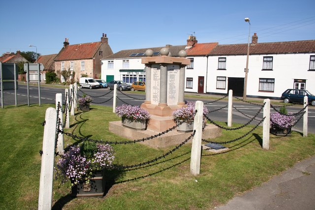
Patrington
Patrington is a large village and civil parish in the East Riding of Yorkshire, England, in an area known as Holderness, 9 miles (14 km) south-east of...
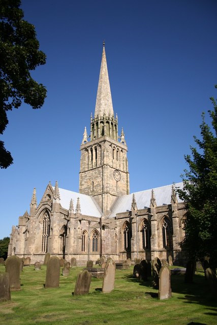
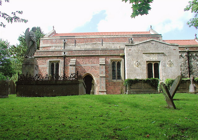
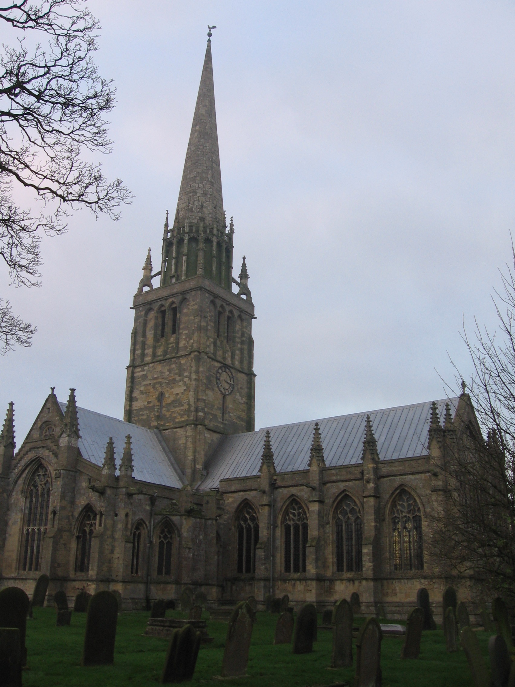
St Patrick's Church, Patrington
St Patrick's Church, Patrington is an Anglican parish church located in Patrington, East Riding of Yorkshire, England. The church is a Grade I listed building...

Winestead Hall
Winestead Hall was a large country house at Winestead in the East Riding of Yorkshire, England. == History == Sir Robert Hildyard, 2nd Baronet commissioned...
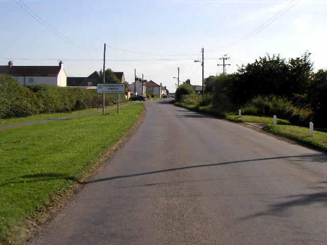
Patrington Haven
Patrington Haven is a hamlet in the East Riding of Yorkshire, England, in an area known as Holderness. It is situated approximately 8 miles (13 km) south...
Nearby Amenities
Located within 500m of 53.692299,-0.032374152Have you been to Jaw Bottom Plantation?
Leave your review of Jaw Bottom Plantation below (or comments, questions and feedback).