Audience Meadow

Downs, Moorland in Shropshire

England

Audience Meadow

Shropshire Way at the Vineyards The Shropshire Way is a 139 mile long, varied route crossing lowland farmland and many of the notable hills of Shropshire. It passes through Shrewsbury, Clun and Ludlow (the most southerly point), and on the return takes in the Clee Hills, Wenlock Edge, Ironbridge and the Wrekin. The path is waymarked by a buzzard on a named disc.
Map: <span class="nowrap"><a title="http://www.ldwa.org.uk/ldp/members/show_path.php?path_id=410" rel="nofollow ugc noopener" href="http://www.ldwa.org.uk/ldp/members/show_path.php?path_id=410">Link</a><img style="margin-left:2px;" alt="External link" title="External link - shift click to open in new window" src="https://s1.geograph.org.uk/img/external.png" width="10" height="10"/></span>
Shropshire Way at the Vineyards Credit: Mat Fascione

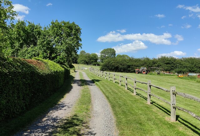
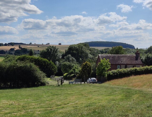
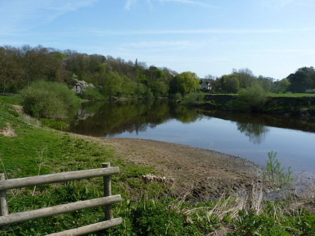
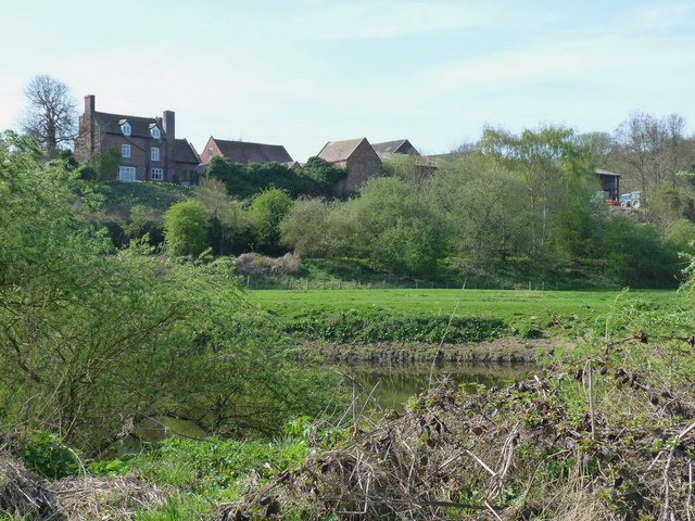
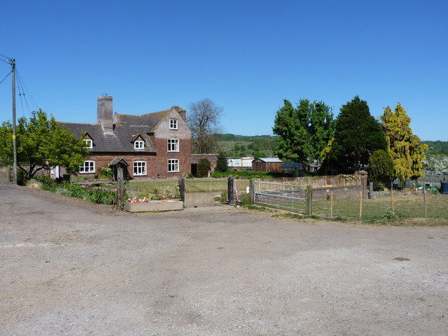
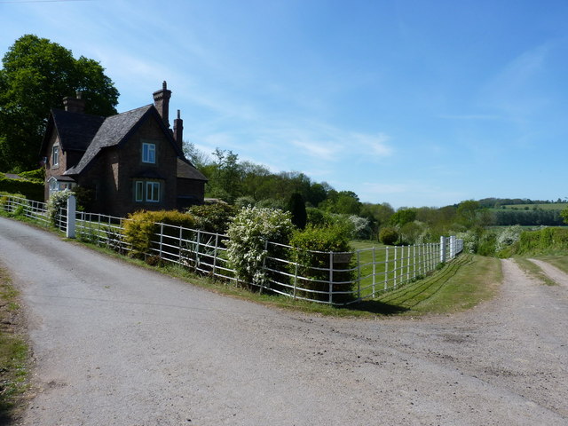
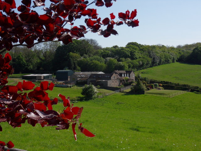
Audience Meadow is a picturesque expanse of land located in Shropshire, England. Situated in the heart of the county, it is a place of great natural beauty. The meadow is known for its stunning views, encompassing rolling downs and vast stretches of moorland.

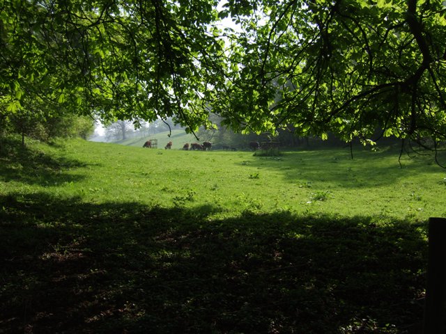
Covering an area of approximately 500 acres, Audience Meadow offers a diverse landscape that attracts nature enthusiasts, hikers, and photographers alike. The downs, with their gently sloping hills, are adorned with lush green grasses and scattered wildflowers during the summer months. The meadow is also home to a variety of wildlife, including deer, rabbits, and a wide range of bird species, making it a haven for birdwatchers.

The moorland, on the other hand, offers a different experience. With its rugged terrain, heather-covered hills, and scattered rocky outcrops, it provides a sense of untamed wilderness. The moorland is often shrouded in a mystical atmosphere, especially during misty mornings or when the sun sets, creating a breathtaking backdrop for photographers.

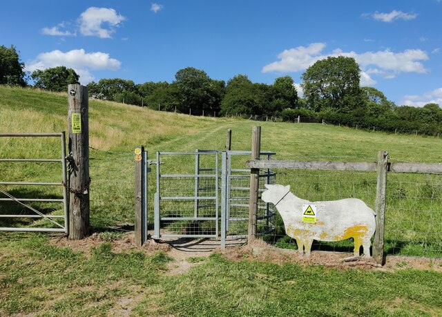
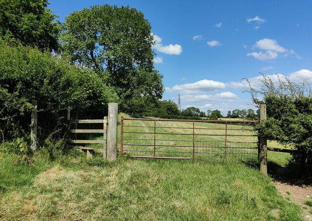
Audience Meadow is a place of tranquility and solitude, ideal for those seeking an escape from the hustle and bustle of everyday life. It offers numerous walking trails that cater to all levels of fitness, allowing visitors to explore the meadow at their own pace. The meadow is also a popular spot for picnics, with designated areas providing the perfect setting for a leisurely outdoor meal.

Overall, Audience Meadow in Shropshire is a cherished natural gem, offering a harmonious blend of downs and moorland, captivating visitors with its beauty and serenity.

If you have any feedback on the listing, please let us know in the comments section below.

Audience Meadow Images

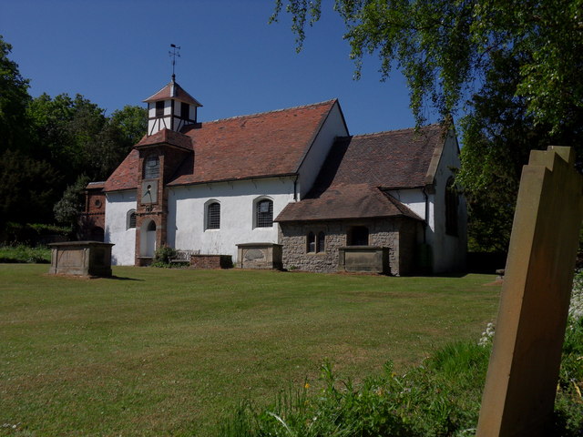
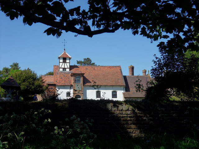
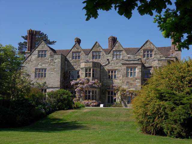
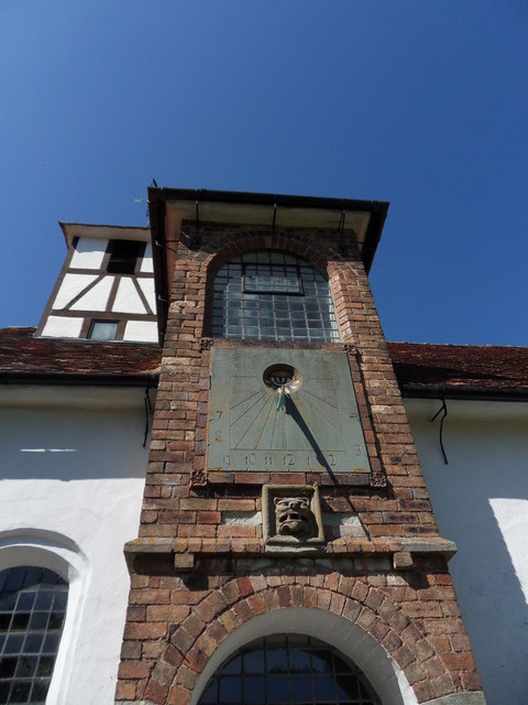
Images are sourced within 2km of 52.619702/-2.5277093 or Grid Reference SJ6402. Thanks to Geograph Open Source API. All images are credited.

Shropshire Way at the Vineyards The Shropshire Way is a 139 mile long, varied route crossing lowland farmland and many of the notable hills of Shropshire. It passes through Shrewsbury, Clun and Ludlow (the most southerly point), and on the return takes in the Clee Hills, Wenlock Edge, Ironbridge and the Wrekin. The path is waymarked by a buzzard on a named disc.
Map: <span class="nowrap"><a title="http://www.ldwa.org.uk/ldp/members/show_path.php?path_id=410" rel="nofollow ugc noopener" href="http://www.ldwa.org.uk/ldp/members/show_path.php?path_id=410">Link</a><img style="margin-left:2px;" alt="External link" title="External link - shift click to open in new window" src="https://s1.geograph.org.uk/img/external.png" width="10" height="10"/></span>
Shropshire Way at the Vineyards
The Shropshire Way is a 139 mile long, varied route crossing lowland farmland and many of the notable hills of Shropshire. It passes through Shrewsbury, Clun and Ludlow (the most southerly point), and on the return takes in the Clee Hills, Wenlock Edge, Ironbridge and the Wrekin. The path is waymarked by a buzzard on a named disc. Map: LinkExternal link
Kissing gate along the Shropshire Way The Shropshire Way is a 139 mile long, varied route crossing lowland farmland and many of the notable hills of Shropshire. It passes through Shrewsbury, Clun and Ludlow (the most southerly point), and on the return takes in the Clee Hills, Wenlock Edge, Ironbridge and the Wrekin. The path is waymarked by a buzzard on a named disc.
Map: <span class="nowrap"><a title="http://www.ldwa.org.uk/ldp/members/show_path.php?path_id=410" rel="nofollow ugc noopener" href="http://www.ldwa.org.uk/ldp/members/show_path.php?path_id=410">Link</a><img style="margin-left:2px;" alt="External link" title="External link - shift click to open in new window" src="https://s1.geograph.org.uk/img/external.png" width="10" height="10"/></span>
Kissing gate along the Shropshire Way
The Shropshire Way is a 139 mile long, varied route crossing lowland farmland and many of the notable hills of Shropshire. It passes through Shrewsbury, Clun and Ludlow (the most southerly point), and on the return takes in the Clee Hills, Wenlock Edge, Ironbridge and the Wrekin. The path is waymarked by a buzzard on a named disc. Map: LinkExternal link
Stile and gate along the Shropshire Way The Shropshire Way is a 139 mile long, varied route crossing lowland farmland and many of the notable hills of Shropshire. It passes through Shrewsbury, Clun and Ludlow (the most southerly point), and on the return takes in the Clee Hills, Wenlock Edge, Ironbridge and the Wrekin. The path is waymarked by a buzzard on a named disc.
Map: <span class="nowrap"><a title="http://www.ldwa.org.uk/ldp/members/show_path.php?path_id=410" rel="nofollow ugc noopener" href="http://www.ldwa.org.uk/ldp/members/show_path.php?path_id=410">Link</a><img style="margin-left:2px;" alt="External link" title="External link - shift click to open in new window" src="https://s1.geograph.org.uk/img/external.png" width="10" height="10"/></span>
Stile and gate along the Shropshire Way
The Shropshire Way is a 139 mile long, varied route crossing lowland farmland and many of the notable hills of Shropshire. It passes through Shrewsbury, Clun and Ludlow (the most southerly point), and on the return takes in the Clee Hills, Wenlock Edge, Ironbridge and the Wrekin. The path is waymarked by a buzzard on a named disc. Map: LinkExternal link
Cowslip Cottage at Wyke The Shropshire Way is a 139 mile long, varied route crossing lowland farmland and many of the notable hills of Shropshire. It passes through Shrewsbury, Clun and Ludlow (the most southerly point), and on the return takes in the Clee Hills, Wenlock Edge, Ironbridge and the Wrekin. The path is waymarked by a buzzard on a named disc.
Map: <span class="nowrap"><a title="http://www.ldwa.org.uk/ldp/members/show_path.php?path_id=410" rel="nofollow ugc noopener" href="http://www.ldwa.org.uk/ldp/members/show_path.php?path_id=410">Link</a><img style="margin-left:2px;" alt="External link" title="External link - shift click to open in new window" src="https://s1.geograph.org.uk/img/external.png" width="10" height="10"/></span>
Cowslip Cottage at Wyke
The Shropshire Way is a 139 mile long, varied route crossing lowland farmland and many of the notable hills of Shropshire. It passes through Shrewsbury, Clun and Ludlow (the most southerly point), and on the return takes in the Clee Hills, Wenlock Edge, Ironbridge and the Wrekin. The path is waymarked by a buzzard on a named disc. Map: LinkExternal link
River Severn, Buildwas
Park Farm, near Sheinton A view across the Severn to Park Farm on the southern bank.
Park Farm, near Sheinton
A view across the Severn to Park Farm on the southern bank.
Cattle grazing in farmland near Tickwood Hall
Park Farm, Buildwas Park The farmhouse at Park Farm
Park Farm, Buildwas Park
The farmhouse at Park Farm
Gatehouse at Buildwas Park One of the entrances into Buildwas Park, this one coming from the east. A footpath heads off down the track to the right, whilst the main uphill route leads into the private grounds of the estate.
Gatehouse at Buildwas Park
One of the entrances into Buildwas Park, this one coming from the east. A footpath heads off down the track to the right, whilst the main uphill route leads into the private grounds of the estate.
Gleedon Hill Farm Sheinton Road, near Much Wenlock.
Gleedon Hill Farm
Sheinton Road, near Much Wenlock.
Benthall Hall National Trust property near Much Wenlock, Shropshire.
Benthall Hall
National Trust property near Much Wenlock, Shropshire.
Benthall Hall National Trust property, near Much Wenlock.
Benthall Hall
National Trust property, near Much Wenlock.
Pile On Electricity pylons adjacent to footpath to the fore of Benthall Hall.
Pile On
Electricity pylons adjacent to footpath to the fore of Benthall Hall.
St Bartholomew's Benthall Parish Church, almost within the grounds of Bethall Hall.
St Bartholomew's
Benthall Parish Church, almost within the grounds of Bethall Hall.
St Bartholomew's Observed from footpath to Broseley.
St Bartholomew's
Observed from footpath to Broseley.
Benthall Hall National Trust Property.
Benthall Hall
National Trust Property.
St Bartholomew's 'Out of the strong came forth sweetness' reads the inscription to the sundial on the tower of St Bartholomew's.
St Bartholomew's
'Out of the strong came forth sweetness' reads the inscription to the sundial on the tower of St Bartholomew's.
The Woodshed A four star barn conversion on Gleedon Hill Farm, near Much Wenlock.
The Woodshed
A four star barn conversion on Gleedon Hill Farm, near Much Wenlock.
Show me another place!

Audience Meadow is located at Grid Ref: SJ6402 (Lat: 52.619702, Lng: -2.5277093)

Unitary Authority: Shropshire

Police Authority: West Mercia

What 3 Words

///define.bogus.scanty. Near Ironbridge, Shropshire

Related Wikis

Wyke, Shropshire

Wyke (or the Wyke) is a small hamlet in rural Shropshire, England, where it is part of the civil parish of Much Wenlock. Its name may originate from Old...

Farley Halt railway station

Farley Halt railway station was a station in Farley to the north of Much Wenlock, Shropshire, England. The station was opened in 1934 and closed in 1962...
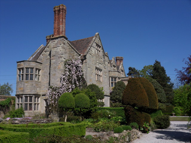
Benthall Hall

Benthall Hall is a 16th-century English country house in Benthall in the town of Broseley, Shropshire, England, and a few miles from the historic Ironbridge...

Ironbridge power stations

The Ironbridge power stations (also known as the Buildwas power stations) refers to a series of two power stations that occupied a site on the banks of...

Nearby Amenities

Located within 500m of 52.619702,-2.5277093
Barrier: kissing_gate
Source: survey
Lat/Long: 52.6169059/-2.5324454
Turning Loop
Lat/Long: 52.6176882/-2.5324079
The data included in this document is from www.openstreetmap.org. The data is made available under ODbL.

Have you been to Audience Meadow?

Leave your review of Audience Meadow below (or comments, questions and feedback).