Broad Mea
Downs, Moorland in Northumberland
England
Broad Mea
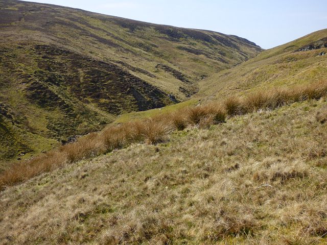
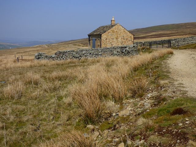
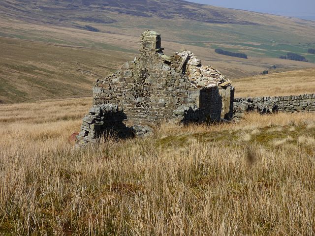
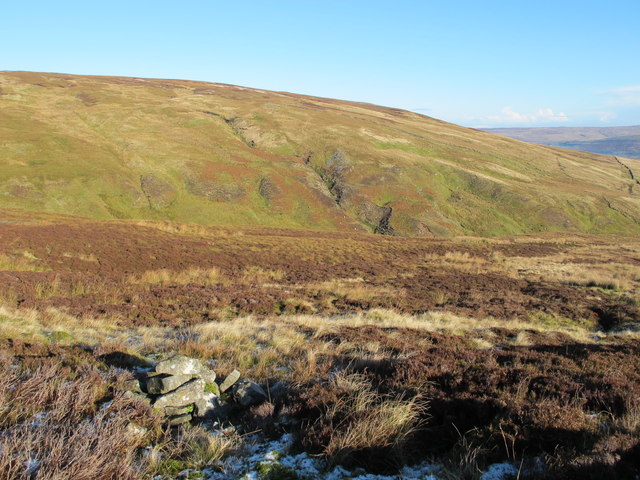
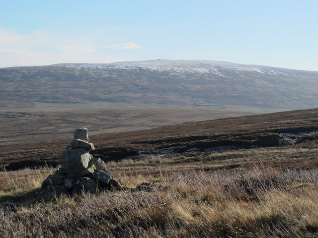
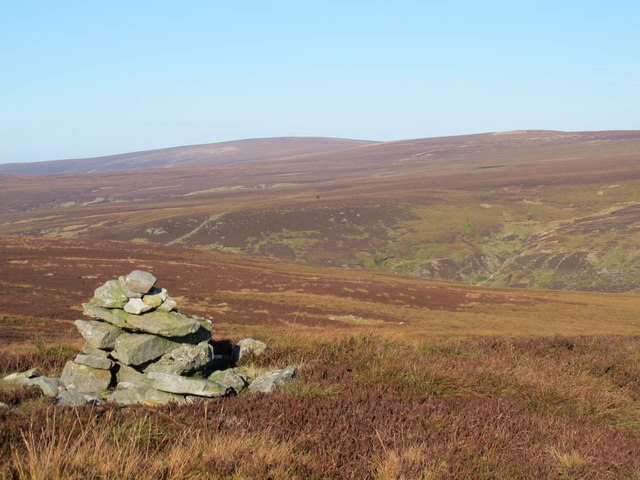
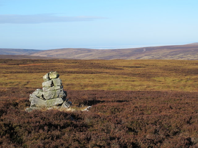
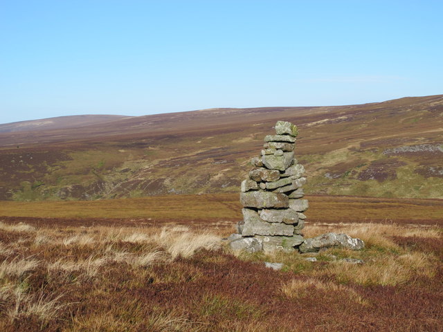
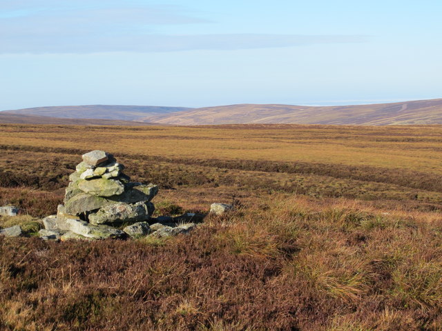
Broad Mea is a picturesque area located in Northumberland, England. Situated in the northern part of the county, it is part of the larger region known as the Northumberland Downs, characterized by its rolling hills and stunning landscapes. Broad Mea specifically refers to the moorland found within this area.
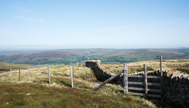
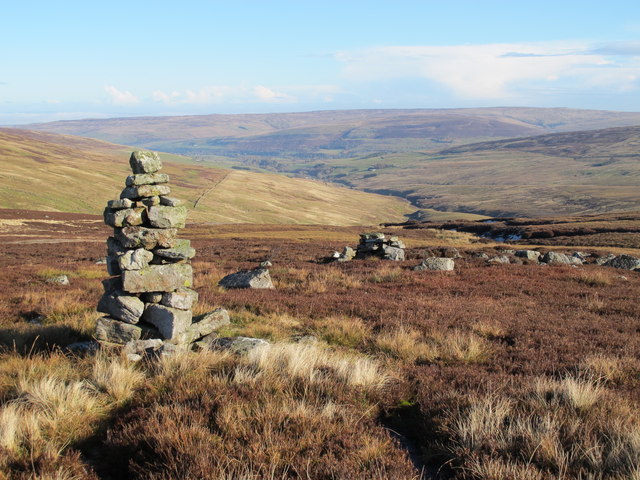
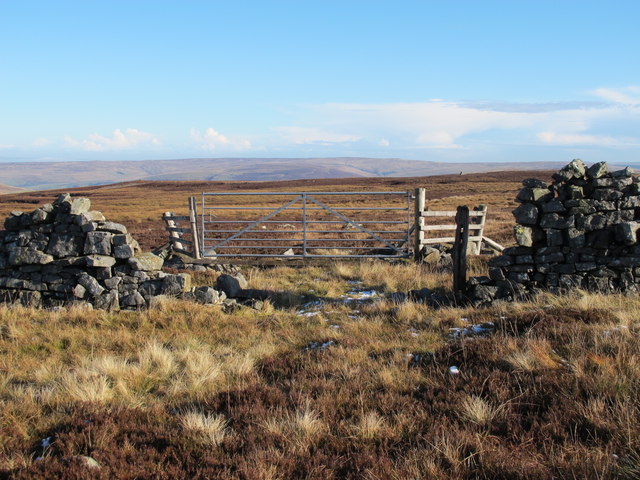
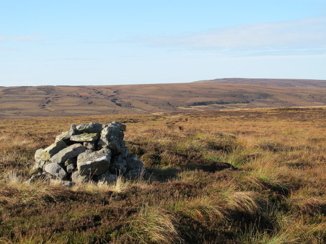
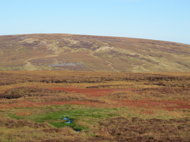
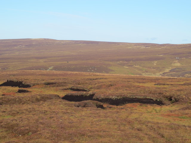
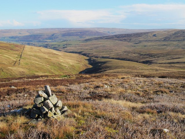
Covering a vast expanse, Broad Mea is renowned for its natural beauty and untouched wilderness. The moorland is characterized by heather-covered hills, open grasslands, and scattered woodland areas. This unique combination of habitats provides a diverse range of flora and fauna, making it a haven for nature enthusiasts and wildlife photographers.
The area is home to a variety of bird species, including curlews, lapwings, and skylarks, which can be spotted soaring above the moorland. Additionally, visitors may catch a glimpse of red grouse, rabbits, and even the occasional roe deer.
Broad Mea is a popular destination for outdoor activities such as hiking and cycling, offering numerous trails that allow visitors to explore the area's natural wonders. The stunning views from the hilltops make it a perfect spot for picnics or simply taking in the breathtaking scenery.
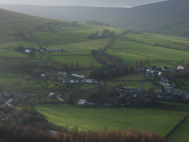
Though remote, the area is not entirely isolated. Nearby, there are small villages and towns where visitors can find amenities such as accommodation, cafes, and local pubs. Additionally, the historic Hadrian's Wall is within driving distance, offering a fascinating glimpse into Roman history.
Overall, Broad Mea in Northumberland is a captivating moorland area, offering stunning landscapes, abundant wildlife, and a peaceful retreat for those seeking to immerse themselves in nature.
If you have any feedback on the listing, please let us know in the comments section below.
Broad Mea Images
Images are sourced within 2km of 54.830479/-2.556184 or Grid Reference NY6448. Thanks to Geograph Open Source API. All images are credited.
Broad Mea is located at Grid Ref: NY6448 (Lat: 54.830479, Lng: -2.556184)
Unitary Authority: Northumberland
Police Authority: Northumbria
What 3 Words
///cycled.snooping.saga. Near Alston, Cumbria
Nearby Locations
Related Wikis

Black Fell (Pennines)
Black Fell is a hill in the North Pennines, England. It is located just north of the A686 road, west of Alston and is one of the most northerly parts of...

Aules Hill Meadows
Aules Hill Meadows is the name given to a Site of Special Scientific Interest (SSSI) in Northumberland, England. The site, listed since 1992, is a set...

Slaggyford railway station
Slaggyford was a railway station on the Alston Line, which ran between Haltwhistle and Alston. The station served the village of Slaggyford in Northumberland...
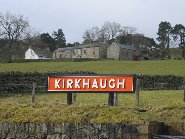
Slaggyford
Slaggyford is a village in the civil parish of Knaresdale with Kirkhaugh, in Northumberland, England about 5 miles (8 km) north of Alston, Cumbria. It...

Lintley Halt railway station
Lintley Halt is a railway station on the South Tynedale Railway, which runs between Slaggyford and Alston. The station is located about 1+1⁄4 miles (2...
Whitley Castle
Whitley Castle (Epiacum) is a large, unusually shaped Roman fort (Latin: castra) north-west of the town of Alston, Cumbria, England. The castrum, which...
Kirkhaugh railway station
Kirkhaugh is a railway station on the South Tynedale Railway, which runs between Slaggyford and Alston. The station serves the hamlet of Kirkhaugh in Northumberland...

South Tynedale Railway
The South Tynedale Railway is a preserved, 2 ft (610 mm) narrow gauge heritage railway in Northern England and at 875ft is England's second highest narrow...
Nearby Amenities
Located within 500m of 54.830479,-2.556184Have you been to Broad Mea?
Leave your review of Broad Mea below (or comments, questions and feedback).