Barbon Park

Downs, Moorland in Westmorland South Lakeland

England

Barbon Park

New footbridge on Barkin Beck This bridge was erected in 2016 to replace an earlier one <a href="https://www.geograph.org.uk/photo/2194085">SD6582 : Footbridge near Fell House</a> that had been washed away in "Storm Desmond" the previous winter.  It includes access ramps, although I don't know how far people with walking difficulties would get on the far side.
New footbridge on Barkin Beck Credit: Stephen Craven

Barbon Park, located in the district of Westmorland in the United Kingdom, is a picturesque and serene natural park boasting a diverse range of terrains, including downs and moorland. Covering an expansive area, this park offers visitors an opportunity to immerse themselves in the beauty of the surrounding landscape and indulge in various outdoor activities.

The downs of Barbon Park provide a stunning view of the surrounding countryside, with rolling hills and green pastures stretching as far as the eye can see. The undulating terrain is ideal for leisurely walks, picnics, or simply enjoying the tranquility of nature. The park is also home to a wide variety of plant and animal species, making it a haven for nature enthusiasts and wildlife lovers.

For those seeking a more rugged adventure, the moorland in Barbon Park offers a different experience. The moors are characterized by vast expanses of open land, punctuated by rocky outcrops and heather-covered hills. Hikers and mountain bikers can explore the numerous trails that wind through this rugged landscape, providing a thrilling and challenging experience.

Barbon Park is well-equipped to cater to the needs of visitors, with designated parking areas, well-maintained footpaths, and informative signboards. Additionally, the park offers amenities such as picnic areas, benches, and even designated spots for camping, allowing visitors to fully immerse themselves in the park's natural beauty.

Overall, Barbon Park in Westmorland is a haven for outdoor enthusiasts, offering a diverse range of terrains, stunning views, and ample opportunities for recreation and relaxation. Whether it's a leisurely stroll through the downs or an adrenaline-filled adventure on the moorland, this park has something to offer for everyone.

If you have any feedback on the listing, please let us know in the comments section below.

Barbon Park Images

Images are sourced within 2km of 54.24246/-2.5483187 or Grid Reference SD6483. Thanks to Geograph Open Source API. All images are credited.

New footbridge on Barkin Beck This bridge was erected in 2016 to replace an earlier one <a href="https://www.geograph.org.uk/photo/2194085">SD6582 : Footbridge near Fell House</a> that had been washed away in "Storm Desmond" the previous winter.  It includes access ramps, although I don't know how far people with walking difficulties would get on the far side.
New footbridge on Barkin Beck
This bridge was erected in 2016 to replace an earlier one SD6582 : Footbridge near Fell House that had been washed away in "Storm Desmond" the previous winter. It includes access ramps, although I don't know how far people with walking difficulties would get on the far side.
Ford over Barkin Beck There's supposed to be a ford here, which may be used by quad bikes etc., but for those on foot there's now a convenient footbridge just upstream <a href="https://www.geograph.org.uk/photo/6981054">SD6582 : New footbridge on Barkin Beck</a>.
Ford over Barkin Beck
There's supposed to be a ford here, which may be used by quad bikes etc., but for those on foot there's now a convenient footbridge just upstream SD6582 : New footbridge on Barkin Beck.
Road junction in Barbondale The signpost points left to Barbon and Sedbergh; right to Dent and Hawes; and behind the camera to Casterton and Kirkby Lonsdale. There's also a cycle route sign for the Lakes and Dales Loop.
Road junction in Barbondale
The signpost points left to Barbon and Sedbergh; right to Dent and Hawes; and behind the camera to Casterton and Kirkby Lonsdale. There's also a cycle route sign for the Lakes and Dales Loop.
Barbon St Bartholomew - lychgate The lychgate bears the dates 1872 and 1915. See also <a href="https://www.geograph.org.uk/photo/3503493">SD6382 : Lychgate, St Bartholomew's, Barbon</a>.
Barbon St Bartholomew - lychgate
The lychgate bears the dates 1872 and 1915. See also SD6382 : Lychgate, St Bartholomew's, Barbon.
Barbon St Bartholomew Unusually the tower, which contains six bells, is at the east rather than west end.
Barbon St Bartholomew
Unusually the tower, which contains six bells, is at the east rather than west end.
Barbon St Bartholomew - interior There's a good if brief description on the Church Heritage Record <span class="nowrap"><a title="https://facultyonline.churchofengland.org/CHR/ChurchDetails.aspx?id=2057#Home" rel="nofollow ugc noopener" href="https://facultyonline.churchofengland.org/CHR/ChurchDetails.aspx?id=2057#Home">Link</a><img style="margin-left:2px;" alt="External link" title="External link - shift click to open in new window" src="https://s1.geograph.org.uk/img/external.png" width="10" height="10"/></span> as well as the Historic England listing.
Barbon St Bartholomew - interior
There's a good if brief description on the Church Heritage Record LinkExternal link as well as the Historic England listing.
Barbon St Bartholomew - war memorial Even a small village like this lost seven men in the Great War.
Barbon St Bartholomew - war memorial
Even a small village like this lost seven men in the Great War.
Barbon St Bartholomew - Lord and Lady Shuttleworth's memorial Wooden panelling beneath the west window forms tribute to Ughtred James, 1st Baron Shuttleworth (1844-1939) and his wife Blanche (1851-1924) of Barbon Manor. I presume Lawrence and Edward named on the church's war memorial <a href="https://www.geograph.org.uk/photo/6981118">SD6382 : Barbon St Bartholomew - war memorial</a> were their sons.
Barbon St Bartholomew - Lord and Lady Shuttleworth's memorial
Wooden panelling beneath the west window forms tribute to Ughtred James, 1st Baron Shuttleworth (1844-1939) and his wife Blanche (1851-1924) of Barbon Manor. I presume Lawrence and Edward named on the church's war memorial SD6382 : Barbon St Bartholomew - war memorial were their sons.
Barbon St Bartholomew - west window "This window is  dedicated to Louisa wife of Sir Woodbine Parish KCH by her daughter Blanche M Kay Shuttleworth". The Shuttleworths were Lords of the Manor, and Blanche is in her turn commemorated in the panelling below the window <a href="https://www.geograph.org.uk/photo/6981128">SD6382 : Barbon St Bartholomew - Lord and Lady Shuttleworth's memorial</a>. The central motif is the Good Shepherd, a popular one of the late 19th and early 20th centuries.
Barbon St Bartholomew - west window
"This window is dedicated to Louisa wife of Sir Woodbine Parish KCH by her daughter Blanche M Kay Shuttleworth". The Shuttleworths were Lords of the Manor, and Blanche is in her turn commemorated in the panelling below the window SD6382 : Barbon St Bartholomew - Lord and Lady Shuttleworth's memorial. The central motif is the Good Shepherd, a popular one of the late 19th and early 20th centuries.
Barbon St Bartholomew - small stained glass window "In memory of James Harrison St Stephen's Day 1900". James had been vicar of the parish since 1872.
Barbon St Bartholomew - small stained glass window
"In memory of James Harrison St Stephen's Day 1900". James had been vicar of the parish since 1872.
Barbon St Bartholomew - sundial In the church grounds.
Barbon St Bartholomew - sundial
In the church grounds.
Woodland track in Barbondale
Barbon Manor One-time home of the historian Roger Fulford,  and featured in the annual Barbon hill-climb challenge.
Barbon Manor
One-time home of the historian Roger Fulford, and featured in the annual Barbon hill-climb challenge.
Barbon road sign Traditional metal posts - spot of rust. Hawes is a long way off. Barbon Manor in the distance.
Barbon road sign
Traditional metal posts - spot of rust. Hawes is a long way off. Barbon Manor in the distance.
Barbondale below Blindbeck Barbon Beck flows well in late summer.
Barbondale below Blindbeck
Barbon Beck flows well in late summer.
Path to Blindbeck Bridge Lovely path climbs gently up the dale from Barbon.
Path to Blindbeck Bridge
Lovely path climbs gently up the dale from Barbon.
The road from Barbon Manor The private access road from Barbon Manor to Barbon village near Pencil Brow; the Lune Valley is in the background.  The road is also a public bridleway.
The road from Barbon Manor
The private access road from Barbon Manor to Barbon village near Pencil Brow; the Lune Valley is in the background. The road is also a public bridleway.
Blindbeck Bridge, Barbondale The minor road from Barbon to Dentdale crosses Blindbeck Bridge.
There is an Ordnance Survey cut benchmark facing the road on the south end of the west parapet (photograph <a href="https://www.geograph.org.uk/photo/7283814">SD6582 : Benchmark, Blindbeck Bridge, Barbondale</a>).
Blindbeck Bridge, Barbondale
The minor road from Barbon to Dentdale crosses Blindbeck Bridge. There is an Ordnance Survey cut benchmark facing the road on the south end of the west parapet (photograph SD6582 : Benchmark, Blindbeck Bridge, Barbondale).
Show me another place!

Barbon Park is located at Grid Ref: SD6483 (Lat: 54.24246, Lng: -2.5483187)

Administrative County: Cumbria

District: South Lakeland

Police Authority: Cumbria

What 3 Words

///prospers.hence.rips. Near Kirkby Lonsdale, Cumbria

Related Wikis

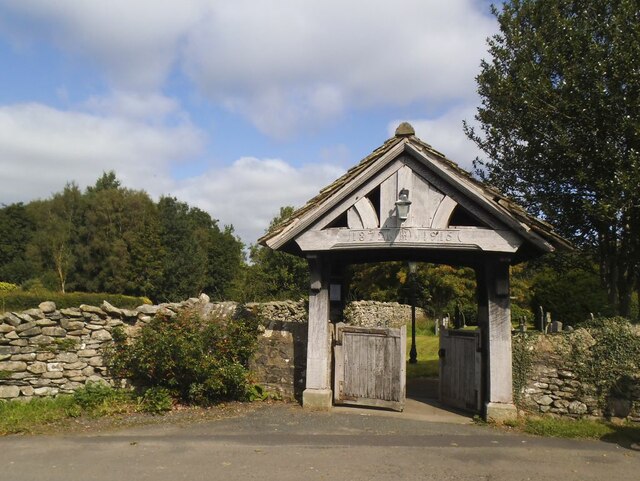
St Bartholomew's Church, Barbon

St Bartholomew's Church is in the village of Barbon, Cumbria, England. It is an active Anglican parish church in the deanery of Kendal, the archdeaconry...

Barbon railway station

Barbon railway station was located in Westmorland (now part of Cumbria), England, serving the town and locale of Barbon on the Ingleton Branch Line....

Barbon

Barbon is a village and civil parish in Westmorland and Furness, England. According to the 2001 census it had a population of 263, reducing to 236 at...
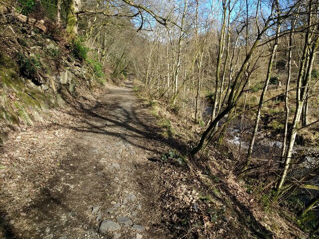
Ease Gill Caverns

The Ease Gill Cave System is the longest, and most complex cave system in Britain as of 2011, with around 41 miles (66 km) of passages, including connections...

Calf Top

Calf Top is a mountain in the western part of the Yorkshire Dales, England. It is located in the county of Cumbria, although Lancashire and North Yorkshire...

Middleton, Cumbria

Middleton is a village and a civil parish on the A683 road, in the South Lakeland district, in the county of Cumbria, England. Middleton has a church called...

Barbon Beck

Barbon Beck is a small river in Barbondale, Cumbria. It is a tributary of the River Lune. Rising at Weather Ling Hill, where it is known as Barkin Beck...

Casterton School

Casterton School was an independent boarding and day school for girls aged 3 to 18 years in the village of Casterton in rural Cumbria. In its final years...

Nearby Amenities

Located within 500m of 54.24246,-2.5483187
Natural: spring
Lat/Long: 54.2429646/-2.5428406
Natural: spring
Lat/Long: 54.2420525/-2.5544973
Natural: spring
Lat/Long: 54.2410744/-2.5436827
Natural: spring
Lat/Long: 54.2411747/-2.5427385
Man Made: cairn
Lat/Long: 54.2440489/-2.5541121
Oak Coppice
Place: locality
Lat/Long: 54.2395031/-2.5532983
Barbon Park
Place: locality
Lat/Long: 54.2415781/-2.547233
Park Nook
Place: locality
Lat/Long: 54.2429685/-2.5411386
The data included in this document is from www.openstreetmap.org. The data is made available under ODbL.

Have you been to Barbon Park?

Leave your review of Barbon Park below (or comments, questions and feedback).