Berryby Fold Hill

Hill, Mountain in Westmorland South Lakeland

England

Berryby Fold Hill

Footbridge on Barkin Beck Described as 'new' in 2013 <a href="https://www.geograph.org.uk/photo/3350976">SD6683 : New footbridge over Barkin Beck</a>.
Footbridge on Barkin Beck Credit: Stephen Craven

Berryby Fold Hill, also known as Berryby Hill, is a prominent geographical feature located in the county of Westmorland, in the northwest region of England. Situated within the picturesque Lake District National Park, this hill stands at an elevation of approximately 300 meters (984 feet) above sea level.

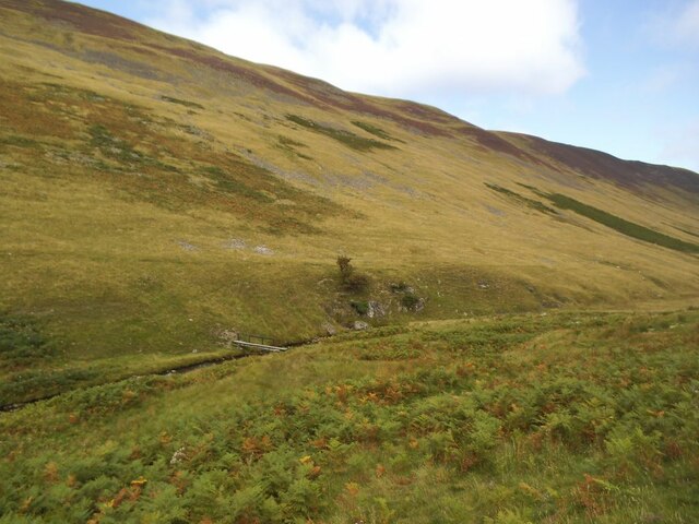
The hill is characterized by its gently sloping terrain and is predominantly covered in lush green grasses and heather, offering a beautiful and serene landscape to behold. It is part of a larger range of hills in the area, adding to the overall charm and natural beauty of the region.

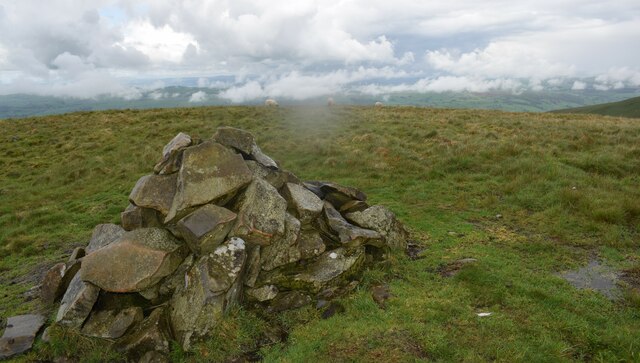
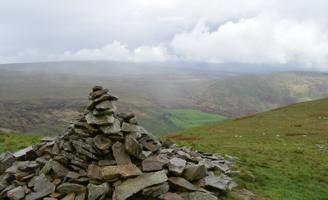
Berryby Fold Hill is a popular destination for hikers and nature enthusiasts, providing breathtaking views of the surrounding countryside and the nearby Lake Windermere. The hill's strategic location also allows visitors to enjoy panoramic vistas of the neighboring peaks such as Wansfell Pike and Red Screes.

With its tranquil atmosphere and unspoiled surroundings, Berryby Fold Hill offers a peaceful retreat from the hustle and bustle of everyday life. The hill is home to a diverse range of flora and fauna, including various species of birds, butterflies, and wildflowers, making it an ideal spot for wildlife enthusiasts and birdwatchers.

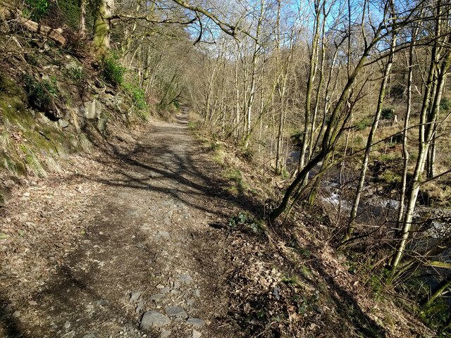
The hill is easily accessible via footpaths and trails, allowing visitors to explore its natural wonders at their own pace. Whether it's a leisurely stroll or a more challenging hike, Berryby Fold Hill promises an unforgettable experience for those seeking to immerse themselves in the splendor of Westmorland's natural landscapes.

If you have any feedback on the listing, please let us know in the comments section below.

Berryby Fold Hill Images

Images are sourced within 2km of 54.249684/-2.5468338 or Grid Reference SD6483. Thanks to Geograph Open Source API. All images are credited.

Footbridge on Barkin Beck Described as 'new' in 2013 <a href="https://www.geograph.org.uk/photo/3350976">SD6683 : New footbridge over Barkin Beck</a>.
Footbridge on Barkin Beck
Described as 'new' in 2013 SD6683 : New footbridge over Barkin Beck.
New footbridge on Barkin Beck This bridge was erected in 2016 to replace an earlier one <a href="https://www.geograph.org.uk/photo/2194085">SD6582 : Footbridge near Fell House</a> that had been washed away in "Storm Desmond" the previous winter.  It includes access ramps, although I don't know how far people with walking difficulties would get on the far side.
New footbridge on Barkin Beck
This bridge was erected in 2016 to replace an earlier one SD6582 : Footbridge near Fell House that had been washed away in "Storm Desmond" the previous winter. It includes access ramps, although I don't know how far people with walking difficulties would get on the far side.
Ford over Barkin Beck There's supposed to be a ford here, which may be used by quad bikes etc., but for those on foot there's now a convenient footbridge just upstream <a href="https://www.geograph.org.uk/photo/6981054">SD6582 : New footbridge on Barkin Beck</a>.
Ford over Barkin Beck
There's supposed to be a ford here, which may be used by quad bikes etc., but for those on foot there's now a convenient footbridge just upstream SD6582 : New footbridge on Barkin Beck.
Road junction in Barbondale The signpost points left to Barbon and Sedbergh; right to Dent and Hawes; and behind the camera to Casterton and Kirkby Lonsdale. There's also a cycle route sign for the Lakes and Dales Loop.
Road junction in Barbondale
The signpost points left to Barbon and Sedbergh; right to Dent and Hawes; and behind the camera to Casterton and Kirkby Lonsdale. There's also a cycle route sign for the Lakes and Dales Loop.
Woodland track in Barbondale
Barbon Manor One-time home of the historian Roger Fulford,  and featured in the annual Barbon hill-climb challenge.
Barbon Manor
One-time home of the historian Roger Fulford, and featured in the annual Barbon hill-climb challenge.
Barbon road sign Traditional metal posts - spot of rust. Hawes is a long way off. Barbon Manor in the distance.
Barbon road sign
Traditional metal posts - spot of rust. Hawes is a long way off. Barbon Manor in the distance.
Barbondale below Blindbeck Barbon Beck flows well in late summer.
Barbondale below Blindbeck
Barbon Beck flows well in late summer.
Path to Blindbeck Bridge Lovely path climbs gently up the dale from Barbon.
Path to Blindbeck Bridge
Lovely path climbs gently up the dale from Barbon.
The road from Barbon Manor The private access road from Barbon Manor to Barbon village near Pencil Brow; the Lune Valley is in the background.  The road is also a public bridleway.
The road from Barbon Manor
The private access road from Barbon Manor to Barbon village near Pencil Brow; the Lune Valley is in the background. The road is also a public bridleway.
Blindbeck Bridge, Barbondale The minor road from Barbon to Dentdale crosses Blindbeck Bridge.
There is an Ordnance Survey cut benchmark facing the road on the south end of the west parapet (photograph <a href="https://www.geograph.org.uk/photo/7283814">SD6582 : Benchmark, Blindbeck Bridge, Barbondale</a>).
Blindbeck Bridge, Barbondale
The minor road from Barbon to Dentdale crosses Blindbeck Bridge. There is an Ordnance Survey cut benchmark facing the road on the south end of the west parapet (photograph SD6582 : Benchmark, Blindbeck Bridge, Barbondale).
Benchmark, Blindbeck Bridge, Barbondale Detail of an Ordnance Survey cut benchmark on the east face of the west parapet of Blindbeck Bridge.  The benchmark marks a height of 177.6009m above Ordnance Datum Newlyn last verified in 1953 (location photograph <a href="https://www.geograph.org.uk/photo/7283809">SD6582 : Blindbeck Bridge, Barbondale</a>).
Benchmark, Blindbeck Bridge, Barbondale
Detail of an Ordnance Survey cut benchmark on the east face of the west parapet of Blindbeck Bridge. The benchmark marks a height of 177.6009m above Ordnance Datum Newlyn last verified in 1953 (location photograph SD6582 : Blindbeck Bridge, Barbondale).
Jack's Fold A Goldsworthy creation. Named after Jack who built it.
Jack's Fold
A Goldsworthy creation. Named after Jack who built it.
The new footbridge on a wet day
Footpath on the lower slopes of Eskholme Pike Walking to Calf Top.
Footpath on the lower slopes of Eskholme Pike
Walking to Calf Top.
Faint footpath on Thorn Moor Walking to Calf Top.
Faint footpath on Thorn Moor
Walking to Calf Top.
Cairn alongside path to Castle Knott A wet and windy day.
Cairn alongside path to Castle Knott
A wet and windy day.
Large cairn on Castle Knott Walking to Calf Top.
Large cairn on Castle Knott
Walking to Calf Top.
Show me another place!

Berryby Fold Hill is located at Grid Ref: SD6483 (Lat: 54.249684, Lng: -2.5468338)

Administrative County: Cumbria

District: South Lakeland

Police Authority: Cumbria

What 3 Words

///glorified.cheetahs.salsa. Near Kirkby Lonsdale, Cumbria

Related Wikis

St Bartholomew's Church, Barbon

St Bartholomew's Church is in the village of Barbon, Cumbria, England. It is an active Anglican parish church in the deanery of Kendal, the archdeaconry...

Barbon railway station

Barbon railway station was located in Westmorland (now part of Cumbria), England, serving the town and locale of Barbon on the Ingleton Branch Line....

Calf Top

Calf Top is a mountain in the western part of the Yorkshire Dales, England. It is located in the county of Cumbria, although Lancashire and North Yorkshire...

Middleton, Cumbria

Middleton is a village and a civil parish on the A683 road, in the South Lakeland district, in the county of Cumbria, England. Middleton has a church called...
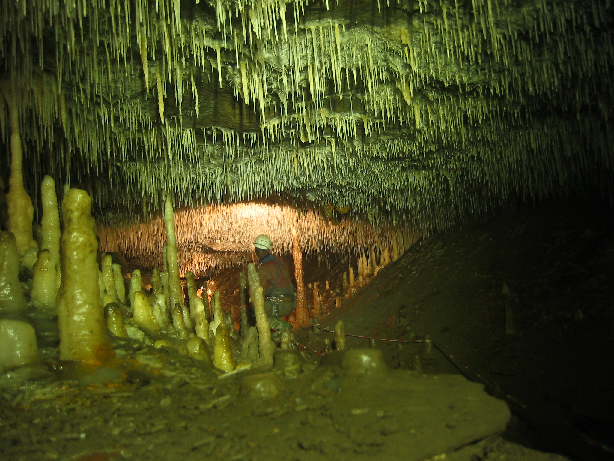
Ease Gill Caverns

The Ease Gill Cave System is the longest, and most complex cave system in Britain as of 2011, with around 41 miles (66 km) of passages, including connections...

Barbon

Barbon is a village and civil parish in Westmorland and Furness, England. According to the 2001 census it had a population of 263, reducing to 236 at...

Barbon Beck

Barbon Beck is a small river in Barbondale, Cumbria. It is a tributary of the River Lune. Rising at Weather Ling Hill, where it is known as Barkin Beck...

St Peter's Church, Mansergh

St Peter's Church is in the village of Mansergh, Cumbria, England. It is an active Anglican parish church in the deanery of Kendal, the archdeaconry of...

Have you been to Berryby Fold Hill?

Leave your review of Berryby Fold Hill below (or comments, questions and feedback).