Wyke
Settlement in Shropshire
England
Wyke
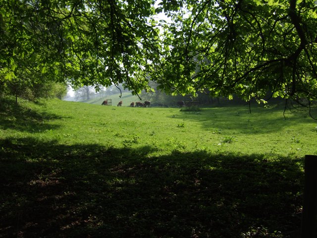
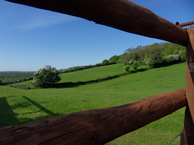
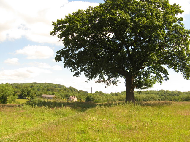
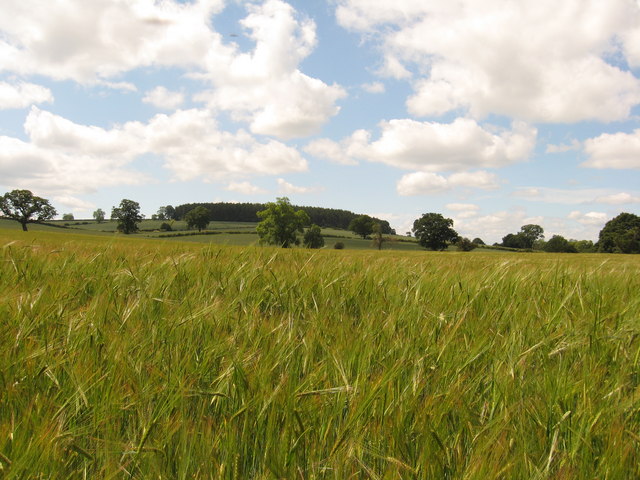
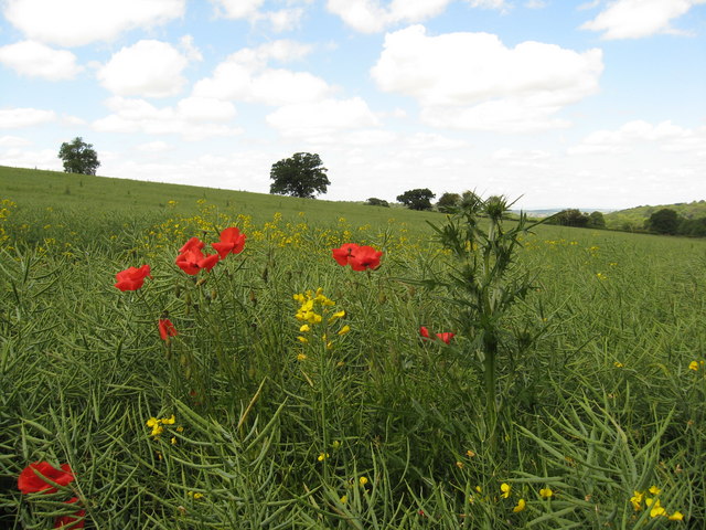
Wyke is a small village located in the county of Shropshire, England. Situated in the West Midlands region, it is nestled within the beautiful countryside, surrounded by rolling hills and picturesque landscapes. The village is approximately 3 miles northeast of the market town of Shrewsbury, making it easily accessible for both residents and visitors.
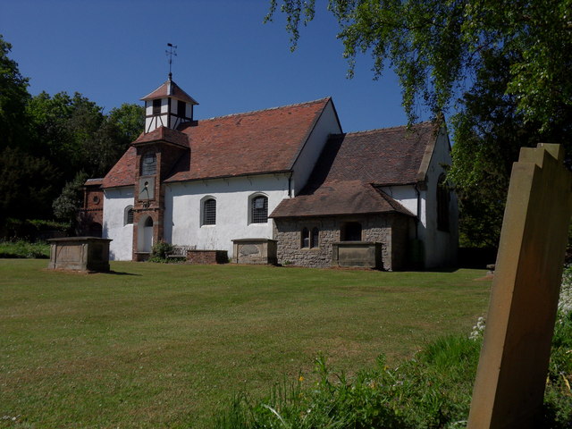
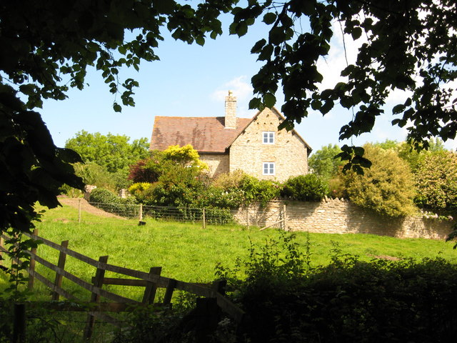
Wyke is a quaint and charming village, known for its rural character and peaceful atmosphere. The architecture of the village is predominantly traditional, with many of the houses constructed from local stone, giving it a timeless and authentic feel. The village is also home to a church, adding to its historical and cultural significance.
Despite its small size, Wyke offers a range of amenities to its residents. There is a local pub, providing a gathering place for locals and visitors alike. The village also benefits from a primary school, ensuring education is easily accessible for families in the area.
The surrounding countryside provides ample opportunities for outdoor activities, such as walking, hiking, and cycling. The village is also within close proximity to the Shropshire Hills Area of Outstanding Natural Beauty, offering stunning views and diverse wildlife.
Overall, Wyke is a tranquil and idyllic village, perfect for those seeking a peaceful retreat in the heart of the Shropshire countryside.
If you have any feedback on the listing, please let us know in the comments section below.
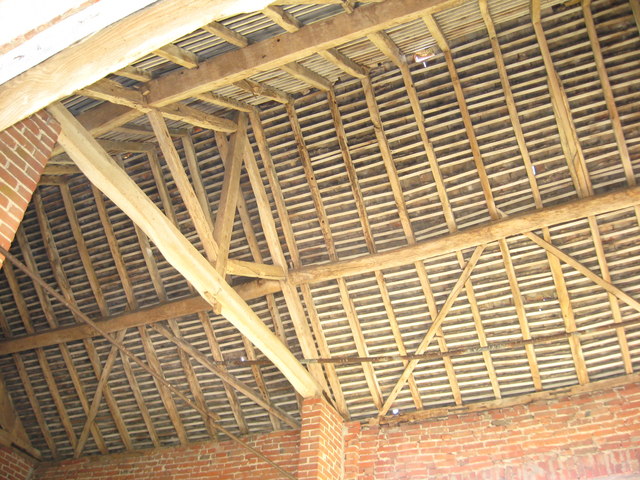
Wyke Images
Images are sourced within 2km of 52.615952/-2.5219335 or Grid Reference SJ6402. Thanks to Geograph Open Source API. All images are credited.

Wyke is located at Grid Ref: SJ6402 (Lat: 52.615952, Lng: -2.5219335)
Unitary Authority: Shropshire
Police Authority: West Mercia
What 3 Words
///paramedic.resides.guilty. Near Ironbridge, Shropshire
Nearby Locations
Related Wikis

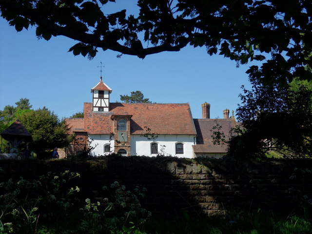
Wyke, Shropshire
Wyke (or the Wyke) is a small hamlet in rural Shropshire, England, where it is part of the civil parish of Much Wenlock. Its name may originate from Old...

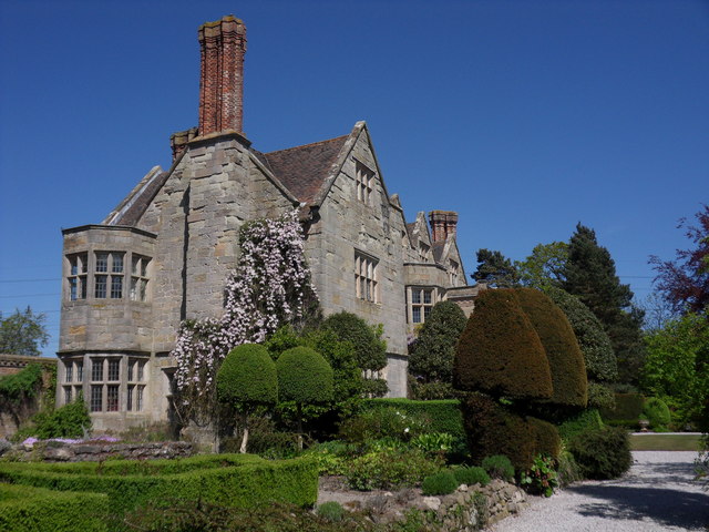
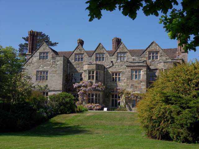
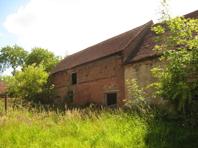
Benthall Hall
Benthall Hall is a 16th-century English country house in Benthall in the town of Broseley, Shropshire, England, and a few miles from the historic Ironbridge...

Farley Halt railway station
Farley Halt railway station was a station in Farley to the north of Much Wenlock, Shropshire, England. The station was opened in 1934 and closed in 1962...

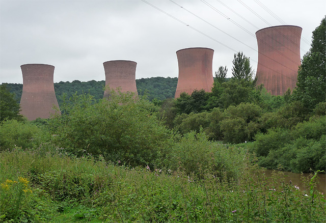
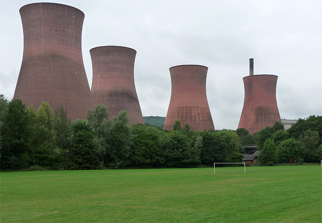
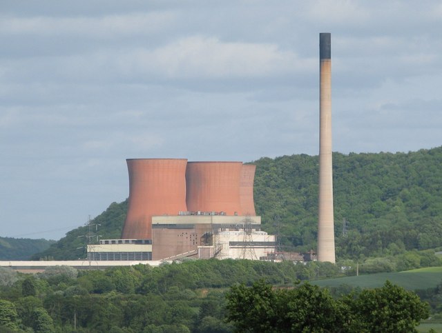
Ironbridge power stations
The Ironbridge power stations (also known as the Buildwas power stations) refers to a series of two power stations that occupied a site on the banks of...

Benthall, Shropshire
Benthall is a small village in Shropshire, England, in the civil parish of Barrow. It is situated to the south of Telford, about a mile south of Ironbridge...

Buildwas railway station
Buildwas railway station was an isolated junction railway station on the Wellington to Craven Arms Railway and Severn Valley Railway. Opened on 1 February...
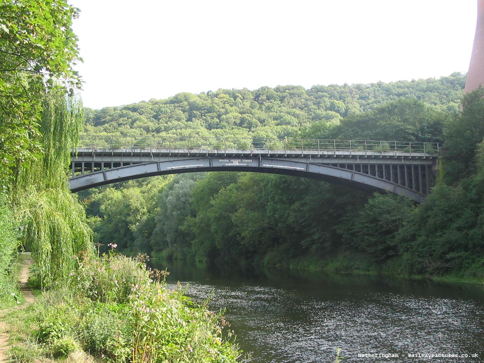
Albert Edward Bridge
The Albert Edward Bridge is a railway bridge spanning the River Severn at Coalbrookdale in Shropshire, England. == History == Opened on 1 November 1864...

Buildwas Abbey
Buildwas Abbey was a Cistercian (originally Savigniac) monastery located on the banks of the River Severn, at Buildwas in Shropshire, England - today about...
Nearby Amenities
Located within 500m of 52.615952,-2.5219335Have you been to Wyke?
Leave your review of Wyke below (or comments, questions and feedback).