Wyke

Settlement in Dorset

England

Wyke

Gillingham awaits the Platinum Jubilee parade
Gillingham awaits the Platinum Jubilee parade Credit: Jonathan Hutchins

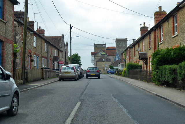
Wyke is a small village located in the county of Dorset, England. Situated approximately 5 miles northeast of Weymouth, it is nestled in the picturesque countryside of the West Dorset Area of Outstanding Natural Beauty.

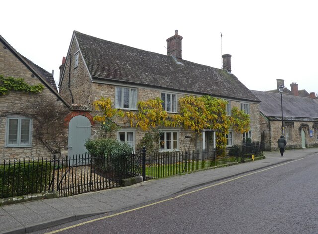
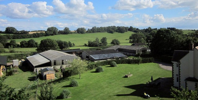
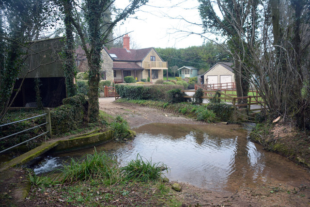
The village is known for its tranquil and idyllic setting, surrounded by rolling hills and lush green fields. It is primarily a residential area, with a small population of around 500 people. The architecture in Wyke reflects its rural charm, with a mix of traditional thatched cottages and more modern houses.

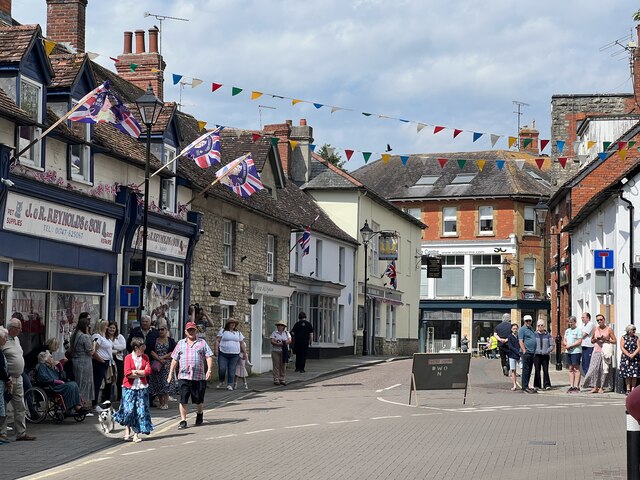
Despite its small size, Wyke boasts a close-knit community that takes pride in its local amenities. These include a village hall, a primary school, a post office, and a convenience store. The village also has a charming pub, serving traditional pub food and providing a welcoming atmosphere for locals and visitors alike.

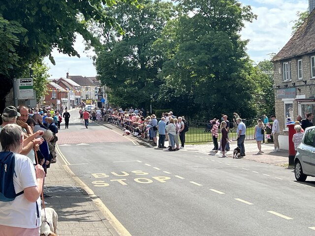
For those who enjoy outdoor activities, Wyke offers plenty of opportunities to explore the surrounding countryside. There are numerous walking trails and cycling routes that lead through the beautiful landscape, allowing residents and visitors to enjoy the fresh air and stunning views.

Although Wyke is a peaceful and rural village, it benefits from its close proximity to larger towns and cities. Weymouth, with its sandy beaches and vibrant seaside atmosphere, is just a short drive away, providing additional amenities and recreational options.

Overall, Wyke is a charming and picturesque village that offers a tranquil and close-knit community, stunning natural beauty, and easy access to nearby towns and attractions.

If you have any feedback on the listing, please let us know in the comments section below.
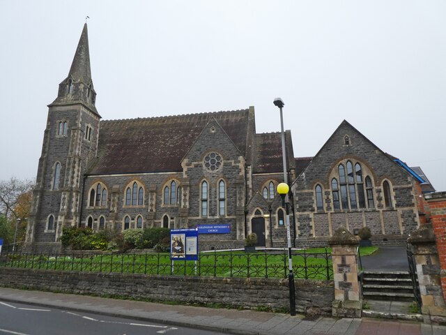
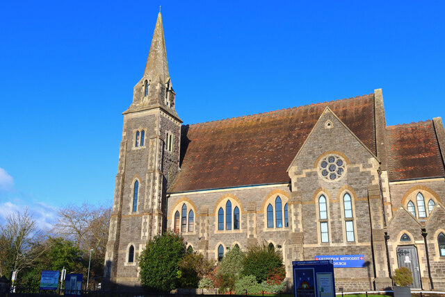
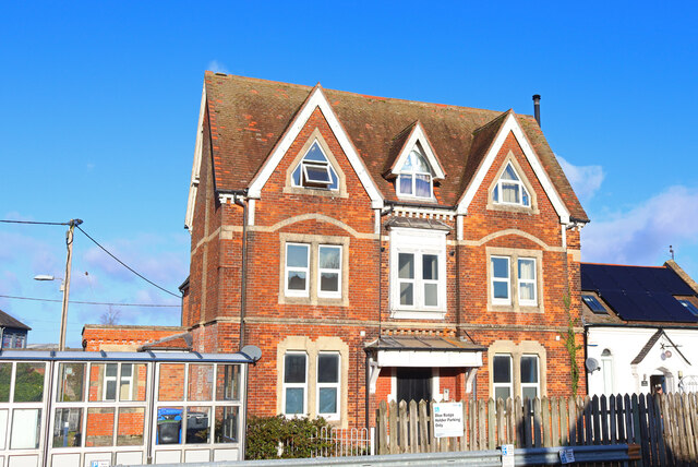
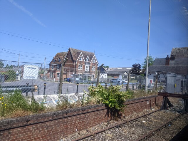
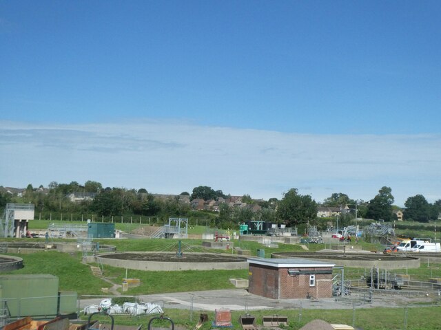
Wyke Images

Images are sourced within 2km of 51.037925/-2.298975 or Grid Reference ST7926. Thanks to Geograph Open Source API. All images are credited.

Gillingham awaits the Platinum Jubilee parade
After the Platinum Jubilee parade in Gillingham The imposing west end of Gillingham Methodist Church looms behind the spectators.
After the Platinum Jubilee parade in Gillingham
The imposing west end of Gillingham Methodist Church looms behind the spectators.
The Barton, Gillingham
St Mary's Church, Gillingham
The Red Lion, Gillingham
Shreen Water, Gillingham
Ornate building, in central Gillingham
Gillingham Methodist Church
Methodist Church Gillingham Methodist Church.
Methodist Church
Gillingham Methodist Church.
Gillingham Station Building opposite Gillingham Railway Station.
Gillingham Station
Building opposite Gillingham Railway Station.
Buildings and car park outside Gillingham Station, seen from the train
Passengers, cycle parking, car parking, bridge at Gillingham station
Sewage works outside Gillingham
Walnut Tree Farm Southeast of Gillingham, and seen here from a train on the Waterloo line. Behind is the Stour valley.
Walnut Tree Farm
Southeast of Gillingham, and seen here from a train on the Waterloo line. Behind is the Stour valley.
Stock Water Ford This ford on Stock Water is found beside Stock Farm.
Stock Water Ford
This ford on Stock Water is found beside Stock Farm.
Old Milestone by the B3081, Wyke Road, Gillingham Metal plates attached to stone post by the B3081, in parish of GILLINGHAM (NORTH DORSET District), by new road called Milestone way, by the road, on South side of road. Dorset 1 (limestone), erected by the Shaftesbury & New Road to Blandford turnpike trust in the 19th century. 

Inscription reads:-
: GILLINGHAM : : Shaston / 5 / Wincanton / 6 : : GILLINGHAM :

Milestone Society National ID: DO_SHWC05.
Old Milestone by the B3081, Wyke Road, Gillingham
Metal plates attached to stone post by the B3081, in parish of GILLINGHAM (NORTH DORSET District), by new road called Milestone way, by the road, on South side of road. Dorset 1 (limestone), erected by the Shaftesbury & New Road to Blandford turnpike trust in the 19th century. Inscription reads:- : GILLINGHAM : : Shaston / 5 / Wincanton / 6 : : GILLINGHAM : Milestone Society National ID: DO_SHWC05.
Looking up Wyke Road towards the former brewery The brewery is a grade II listed building, mid 19th century.
Looking up Wyke Road towards the former brewery
The brewery is a grade II listed building, mid 19th century.
Show me another place!

Wyke is located at Grid Ref: ST7926 (Lat: 51.037925, Lng: -2.298975)

Unitary Authority: Dorset

Police Authority: Dorset

What 3 Words

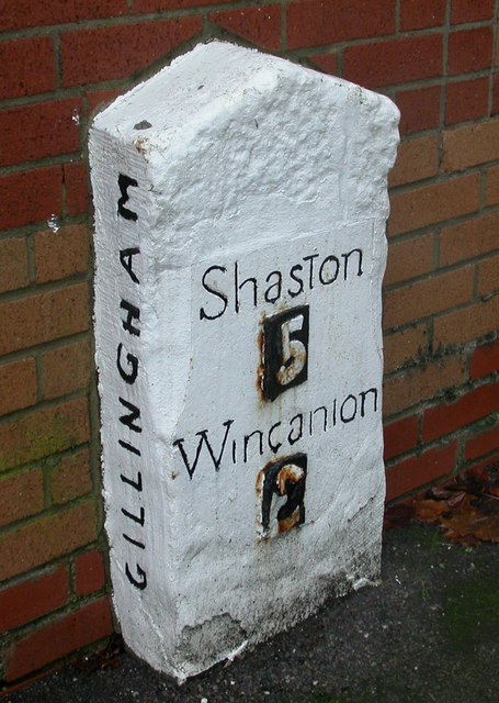
///alive.crisp.polar. Near Gillingham, Dorset

Nearby Locations

Wyke

Related Wikis

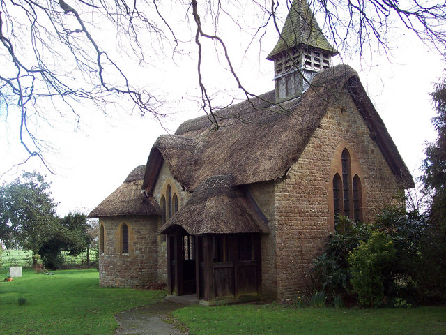
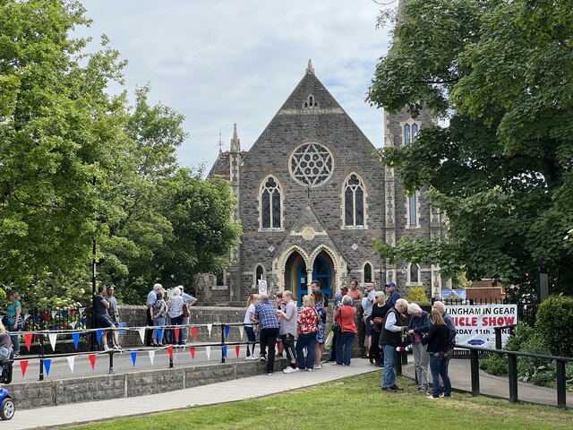
St George's Church, Langham

St George's Church is a Church of England church in Langham, Gillingham, Dorset, England. It was designed by Charles Ponting and built in 1921. It has...

Gillingham Friary

Gillingham Friary was possibly a Dominican friary in the town of Gillingham, Dorset, England. == References == == External links == "Friaries: The Dominicans...

Gillingham (liberty)

Gillingham Liberty was a liberty in the county of Dorset, England, containing the following parishes: Bourton (from 1866) Gillingham Motcombe == See... ==

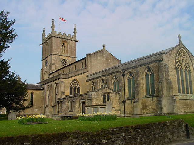
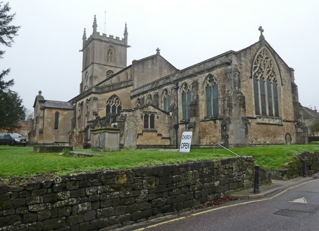
St Mary the Virgin, Gillingham, Dorset

St Mary's Church is the parish church for the town of Gillingham in the Blackmore Vale in the north of Dorset. The church is in the Diocese of Salisbury...

Nearby Amenities

Located within 500m of 51.037925,-2.298975
Barrier: stile
Lat/Long: 51.036788/-2.2929986
Barrier: stile
Lat/Long: 51.036229/-2.2927975
Material: wood
Power: pole
Source: bing
Lat/Long: 51.0413682/-2.2961583
Addr Housenumber: 13
Addr Street: Clarendon Close
Lat/Long: 51.0366752/-2.2927017
Addr Housenumber: 15
Addr Street: Clarendon Close
Lat/Long: 51.0366052/-2.2922833
Addr Housenumber: 6
Addr Street: Clarendon Close
Lat/Long: 51.0375691/-2.2927754
Addr Housenumber: 3
Addr Street: Clarendon Close
Lat/Long: 51.0378735/-2.2929619
Addr Housenumber: 9
Addr Street: Clarendon Close
Lat/Long: 51.0372267/-2.2926802
Addr Housenumber: 23
Addr Street: Clarendon Close
Lat/Long: 51.0376003/-2.2923289
Addr Housenumber: 26
Addr Street: Clarendon Close
Lat/Long: 51.0379258/-2.2924791
Addr Housenumber: 14
Addr Street: Clarendon Close
Lat/Long: 51.0365782/-2.2924871
Addr Housenumber: 8
Addr Street: Clarendon Close
Lat/Long: 51.0373506/-2.2927071
Addr Housenumber: 25
Addr Street: Clarendon Close
Lat/Long: 51.037828/-2.2924187
Addr Housenumber: 1
Addr Street: Clarendon Close
Lat/Long: 51.0380658/-2.2931067
Addr Housenumber: 7
Addr Street: Clarendon Close
Lat/Long: 51.0374628/-2.2927379
Addr Housenumber: 18
Addr Street: Clarendon Close
Lat/Long: 51.0369248/-2.2921036
Addr Housenumber: 27
Addr Street: Clarendon Close
Lat/Long: 51.038054/-2.292577
Addr Housenumber: 21
Addr Street: Clarendon Close
Lat/Long: 51.0373777/-2.2922403
Addr Housename: The Old School
Addr Street: Lydfords Lane
Lat/Long: 51.0381847/-2.2921129
Addr Housenumber: 22
Addr Street: Clarendon Close
Lat/Long: 51.0374957/-2.2922953
Addr Housenumber: 19
Addr Street: Clarendon Close
Lat/Long: 51.0370378/-2.2921626
Addr Housenumber: 20
Addr Street: Clarendon Close
Lat/Long: 51.0371517/-2.2921733
Addr Housenumber: 24
Addr Street: Clarendon Close
Lat/Long: 51.0377302/-2.2923704
Addr Housenumber: 11
Addr Street: Clarendon Close
Lat/Long: 51.0369181/-2.2926816
Addr Housenumber: 28
Addr Street: Clarendon Close
Lat/Long: 51.0381627/-2.2925515
Addr Housenumber: 4
Addr Street: Clarendon Close
Lat/Long: 51.0377757/-2.2928854
Addr Housenumber: 10
Addr Street: Clarendon Close
Lat/Long: 51.0370648/-2.2927325
Addr Housenumber: 12
Addr Street: Clarendon Close
Lat/Long: 51.0368042/-2.2926615
Addr Housenumber: 5
Addr Street: Clarendon Close
Lat/Long: 51.0376728/-2.2928184
Addr Housenumber: 2
Addr Street: Clarendon Close
Lat/Long: 51.0379781/-2.2930182
Addr Housename: Lavender Cottage
Addr Street: Brewery Lane
Lat/Long: 51.0376307/-2.2936056
Addr Housename: Narbtoc
Addr Street: Brewery Lane
Lat/Long: 51.0371576/-2.2934835
Addr Housename: Brooklands
Addr Street: Brewery Lane
Lat/Long: 51.0373616/-2.2933413
Addr Housename: Herons Veldt
Addr Street: Wyke Road
Lat/Long: 51.0378896/-2.2939529
Addr Housename: Badger Cottage
Addr Street: Brewery Lane
Lat/Long: 51.0374949/-2.2934433
Addr Housename: Heron Cottage
Addr Street: Wyke Road
Lat/Long: 51.0379477/-2.293627
Addr Housename: Heron View
Addr Street: Brewery Lane
Lat/Long: 51.0378229/-2.293678
Addr Housename: Heron Lodge
Addr Street: Brewery Lane
Lat/Long: 51.0368439/-2.2931455
Addr Housename: The Old Coach House
Addr Street: Wyke Road
Lat/Long: 51.038059/-2.2935184
Addr Housenumber: 1-5
Addr Street: Milford Court
Lat/Long: 51.0383319/-2.2933247
Addr Housenumber: 5-14
Addr Street: Milford Court Mews
Lat/Long: 51.03874/-2.292976
Addr Housenumber: 6-21
Addr Street: Milford Court
Lat/Long: 51.0383757/-2.2928338
Addr Housenumber: 1-4
Addr Street: Milford Court Mews
Lat/Long: 51.0386455/-2.2935312
Addr Housename: Barley Cottage
Addr Street: Wyke Road
Lat/Long: 51.0383056/-2.2945087
Addr Housename: The Stone House
Addr Street: Wyke Road
Lat/Long: 51.0382803/-2.2937738
Addr Housename: Oak Tree Cottage
Addr Street: Wyke Road
Lat/Long: 51.0383157/-2.2941493
Addr Housename: South Lodge
Addr Street: Wyke Road
Lat/Long: 51.03826/-2.2947662
Addr Hamlet: Slaughtergate
Addr Housename: Slaughtergate Farm
Addr Street: Wavering Lane West
Lat/Long: 51.0415123/-2.296723
Addr Hamlet: Slaughtergate
Addr Housenumber: 1,2
Addr Street: Wavering Lane West
Lat/Long: 51.0412222/-2.2972595
Addr Hamlet: Slaughtergate
Addr Housename: North Lodge
Addr Street: Wavering Lane West
Lat/Long: 51.0409321/-2.2971388
Slaughtergate
Place: hamlet
Lat/Long: 51.0414851/-2.2976289
Addr Housename: Honeysuckle Cottage
Addr Street: Pound Lane
Lat/Long: 51.0387212/-2.2919701
Addr Housename: Tower Cottage
Addr Street: Pound Lane
Lat/Long: 51.0386908/-2.2921606
Addr Housename: Jasmine Cottage
Addr Street: Pound Lane
Lat/Long: 51.0386993/-2.2921016
Addr Housename: Weighbridge Cottage
Addr Street: Pound Lane
Lat/Long: 51.0387128/-2.2920372
Addr Housename: Freshfields
Addr Street: Wavering Lane West
Lat/Long: 51.0408519/-2.2936497
Addr Housename: The Bungalow
Addr Street: Langham Lane
Nohousenumber: yes
Lat/Long: 51.0388338/-2.3057368
Addr Housename: Fox Hill House
Addr Suburb: Stock
Nohousenumber: yes
Lat/Long: 51.0398971/-2.3026013
Cafe
The Old Brewery Cafe & Kitchen
Lat/Long: 51.0385538/-2.2923204
Addr Housename: Stock Hill Lodge
Addr Suburb: Stock
Nohousenumber: yes
Lat/Long: 51.0403786/-2.3015338
Addr City: Gillingham
Addr Housename: The Nestlings
Addr Suburb: Culvers
Nohousenumber: yes
Lat/Long: 51.0337856/-2.2970009
Addr City: Gillingham
Addr Housename: Culvers Cottage
Addr Suburb: Culvers
Nohousenumber: yes
Lat/Long: 51.0338008/-2.3008807
Addr City: Gillingham
Addr Housename: Harvesters
Addr Suburb: Culvers
Nohousenumber: yes
Lat/Long: 51.0341424/-2.301165
Addr City: Gillingham
Addr Housename: Culvers Corner Cottage
Addr Suburb: Culvers
Nohousenumber: yes
Lat/Long: 51.03457/-2.3008297
Addr City: Gillingham
Addr Housename: Westbrook Cottage
Addr Suburb: Culvers
Nohousenumber: yes
Lat/Long: 51.0346939/-2.3007815
Culvers
Place: suburb
Lat/Long: 51.0340572/-2.3006433
Addr City: Gillingham
Addr Housename: Jalna
Addr Street: Dry Lane
Nohousenumber: yes
Lat/Long: 51.0353408/-2.3004033
Addr City: Gillingham
Addr Housename: Longfield House
Addr Street: Dry Lane
Nohousenumber: yes
Lat/Long: 51.0358898/-2.3000425
Addr City: Gillingham
Addr Housename: The Beeches
Addr Street: Dry Lane
Nohousenumber: yes
Lat/Long: 51.0363865/-2.2997662
Addr City: Gillingham
Addr Housenumber: 5
Addr Street: Dry Lane
Lat/Long: 51.0367593/-2.2996281
Addr City: Gillingham
Addr Housename: Meadowview
Addr Street: Dry Lane
Nohousenumber: yes
Lat/Long: 51.0368487/-2.2995906
Addr City: Gillingham
Addr Housename: Sunnyside
Addr Street: Dry Lane
Lat/Long: 51.0373285/-2.2994189
Addr City: Gillingham
Addr Housename: Wyeth
Addr Street: Dry Lane
Lat/Long: 51.037369/-2.2993706
Addr City: Gillingham
Addr Housename: The Cottage
Addr Street: Dry Lane
Nohousenumber: yes
Lat/Long: 51.0377215/-2.2992137
Addr City: Gillingham
Addr Housename: Herons Wood
Addr Street: Langham Lane
Nohousenumber: yes
Lat/Long: 51.0382418/-2.3000157
Addr City: Gillingham
Addr Housename: Southcote
Addr Street: Langham Lane
Nohousenumber: yes
Lat/Long: 51.0382022/-2.2996013
Addr City: Gillingham
Addr Street: Langham Lane
Nohousenumber: yes
Lat/Long: 51.0381372/-2.2991882
Addr City: Gillingham
Addr Housename: Wyke Farm Dairy
Addr Postcode: SP8 4UA
Addr Suburb: Stock
Nohousenumber: yes
Lat/Long: 51.0385521/-2.2983769
Barrier: stile
Lat/Long: 51.037915/-2.295584
Generator Method: photovoltaic
Generator Output Electricity: yes
Generator Source: solar
Generator Type: solar_photovoltaic_panel
Location: roof
Power: generator
Lat/Long: 51.0387166/-2.2930232
The data included in this document is from www.openstreetmap.org. The data is made available under ODbL.

Have you been to Wyke?

Leave your review of Wyke below (or comments, questions and feedback).