Spratts Coppice
Wood, Forest in Shropshire
England
Spratts Coppice
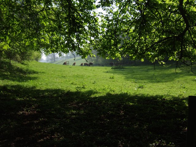
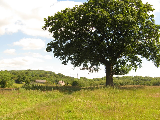
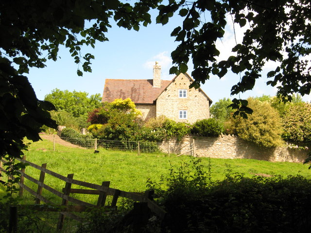
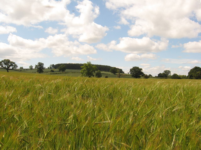
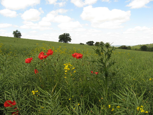
Spratts Coppice is a picturesque woodland located in the county of Shropshire, England. Covering an area of approximately 100 acres, this ancient forest is nestled within the stunning countryside, offering a tranquil and serene atmosphere to visitors.
The woodland is predominantly composed of a mix of deciduous and evergreen trees, including oak, beech, birch, and pine. The lush vegetation provides a habitat for a wide array of wildlife, making it a popular destination for nature enthusiasts and birdwatchers. Visitors may spot various bird species, such as woodpeckers, thrushes, and owls, as well as mammals like deer and foxes.
Spratts Coppice offers a network of well-maintained footpaths and trails, allowing visitors to explore the forest and enjoy leisurely walks or invigorating hikes. The paths wind through the woodland, leading visitors to hidden glades, babbling brooks, and scenic viewpoints. The forest is particularly beautiful in the spring, when the forest floor is adorned with carpets of bluebells and wildflowers.
Aside from its natural beauty, Spratts Coppice also holds historical significance. The woodland has been managed sustainably for centuries, providing timber and firewood to the local community. Ancient boundary markers and remnants of charcoal kilns can still be found within the forest, offering glimpses into its past.
Spratts Coppice truly offers an escape from the hustle and bustle of everyday life, providing a peaceful retreat for those seeking solace in nature. With its diverse flora and fauna, well-maintained trails, and rich history, this woodland is a hidden gem in the heart of Shropshire.
If you have any feedback on the listing, please let us know in the comments section below.
Spratts Coppice Images
Images are sourced within 2km of 52.621934/-2.5189322 or Grid Reference SJ6402. Thanks to Geograph Open Source API. All images are credited.

Spratts Coppice is located at Grid Ref: SJ6402 (Lat: 52.621934, Lng: -2.5189322)
Unitary Authority: Shropshire
Police Authority: West Mercia
What 3 Words
///redouble.small.such. Near Ironbridge, Shropshire
Nearby Locations
Related Wikis

Wyke, Shropshire
Wyke (or the Wyke) is a small hamlet in rural Shropshire, England, where it is part of the civil parish of Much Wenlock. Its name may originate from Old...

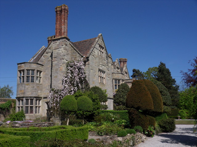
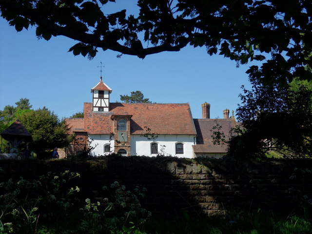
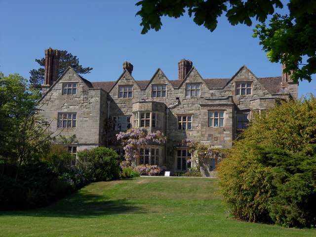
Benthall Hall
Benthall Hall is a 16th-century English country house in Benthall in the town of Broseley, Shropshire, England, and a few miles from the historic Ironbridge...

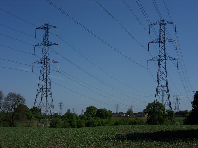
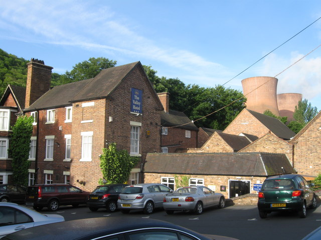
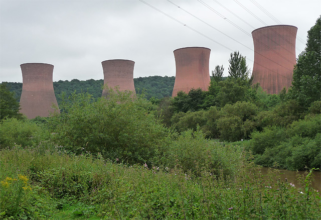
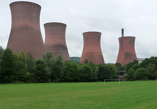
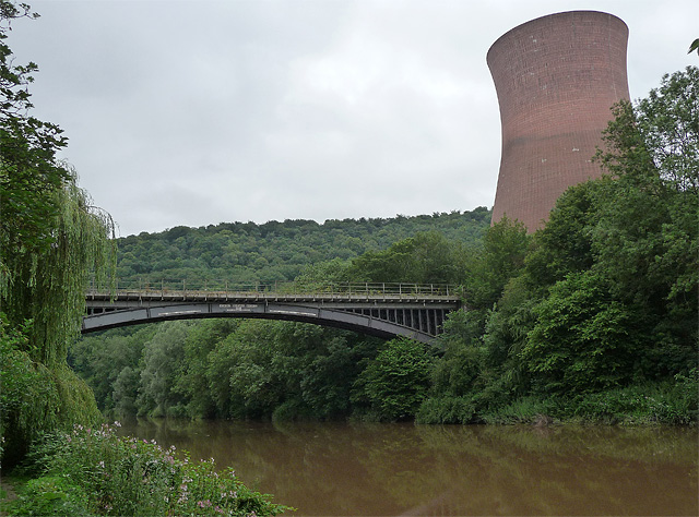
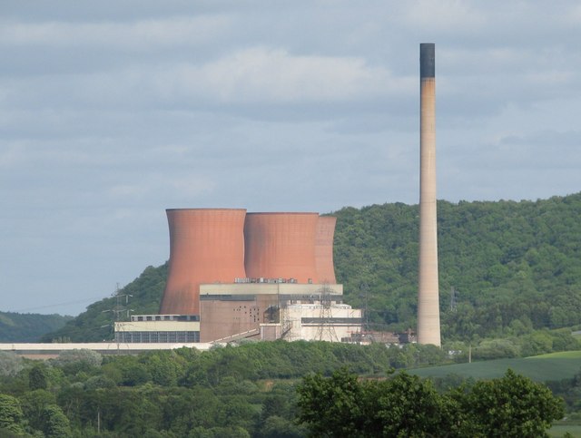
Ironbridge power stations
The Ironbridge power stations (also known as the Buildwas power stations) refers to a series of two power stations that occupied a site on the banks of...

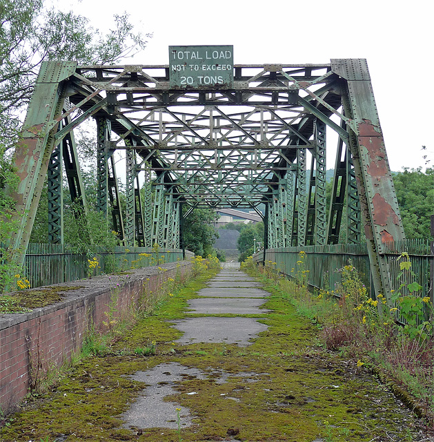
Buildwas railway station
Buildwas railway station was an isolated junction railway station on the Wellington to Craven Arms Railway and Severn Valley Railway. Opened on 1 February...
Nearby Amenities
Located within 500m of 52.621934,-2.5189322Have you been to Spratts Coppice?
Leave your review of Spratts Coppice below (or comments, questions and feedback).