Audience Wood
Wood, Forest in Shropshire
England
Audience Wood
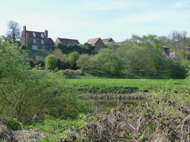
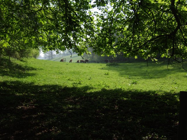
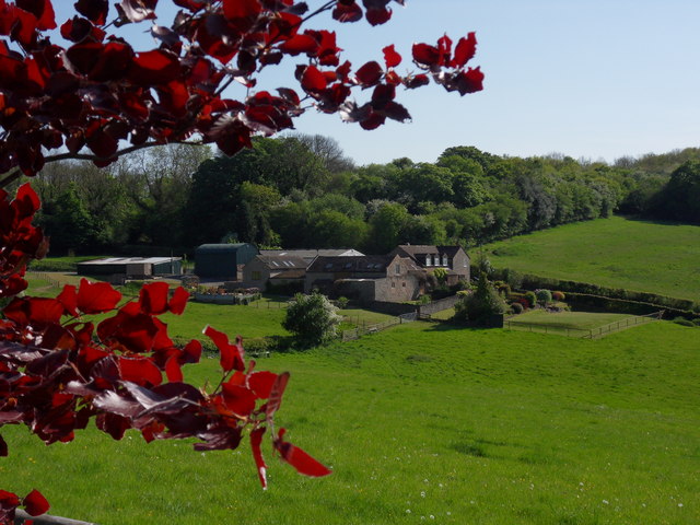
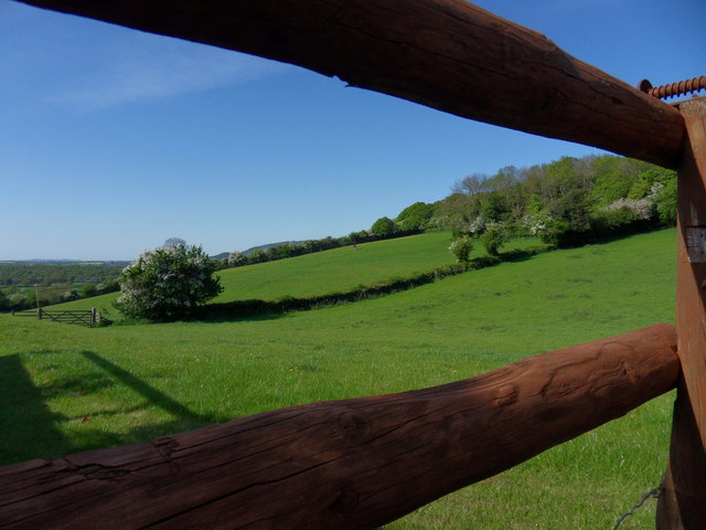
Audience Wood is a small woodland located in Shropshire, England. It is situated within the larger area known as the Shropshire Hills, which is renowned for its stunning natural beauty and diverse wildlife. The wood covers an area of approximately 20 acres and is predominantly made up of mature deciduous trees.
The wood is known for its rich biodiversity, providing a habitat for a variety of plant and animal species. It is home to a range of birds, including woodpeckers, owls, and various songbirds. Mammals such as badgers, foxes, and deer can also be spotted within the wood.
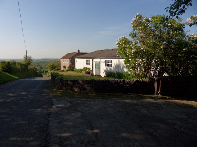
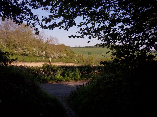
Audience Wood offers visitors a tranquil and peaceful setting, making it a popular destination for nature enthusiasts, hikers, and photographers. There are several walking trails that wind their way through the wood, allowing visitors to explore its beauty at their own pace. The paths are well-maintained and offer stunning views of the surrounding countryside.
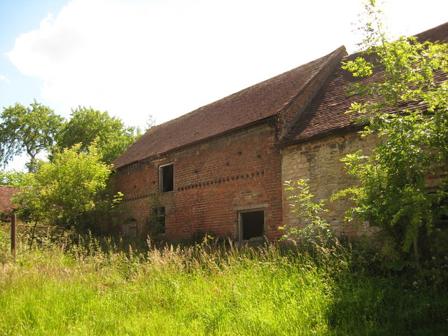
In addition to its natural beauty, Audience Wood also has historical significance. It is believed that the wood has been in existence for centuries, and remnants of ancient woodland management practices can still be seen today. The wood has also played a role in local folklore and legends, adding to its allure.
Overall, Audience Wood is a picturesque and ecologically important woodland in Shropshire. With its diverse wildlife, scenic walking trails, and historical significance, it offers visitors a unique and immersive experience in the heart of nature.
If you have any feedback on the listing, please let us know in the comments section below.
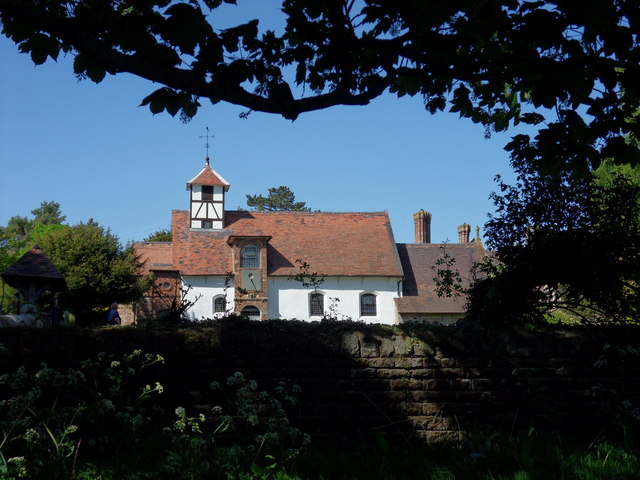
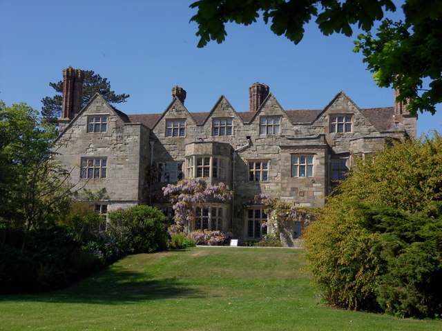
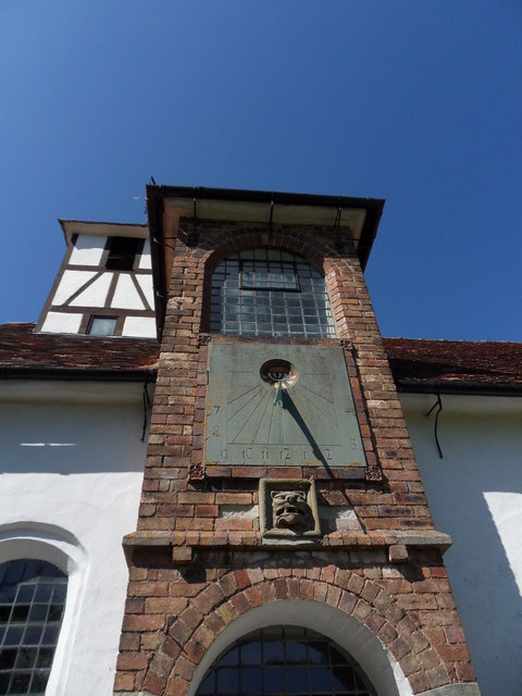
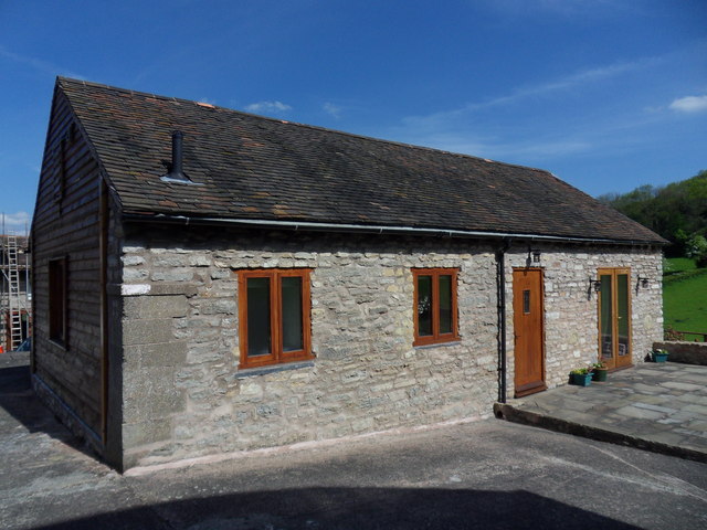
Audience Wood Images
Images are sourced within 2km of 52.618476/-2.530309 or Grid Reference SJ6402. Thanks to Geograph Open Source API. All images are credited.


Audience Wood is located at Grid Ref: SJ6402 (Lat: 52.618476, Lng: -2.530309)
Unitary Authority: Shropshire
Police Authority: West Mercia
What 3 Words
///soils.absorbing.model. Near Much Wenlock, Shropshire
Nearby Locations
Related Wikis

Wyke, Shropshire
Wyke (or the Wyke) is a small hamlet in rural Shropshire, England, where it is part of the civil parish of Much Wenlock. Its name may originate from Old...

Farley Halt railway station
Farley Halt railway station was a station in Farley to the north of Much Wenlock, Shropshire, England. The station was opened in 1934 and closed in 1962...

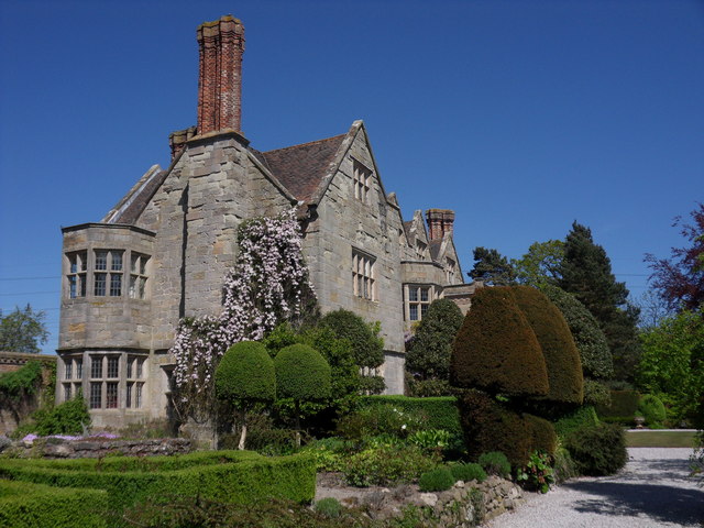
Benthall Hall
Benthall Hall is a 16th-century English country house in Benthall in the town of Broseley, Shropshire, England, and a few miles from the historic Ironbridge...

Ironbridge power stations
The Ironbridge power stations (also known as the Buildwas power stations) refers to a series of two power stations that occupied a site on the banks of...

Buildwas Abbey
Buildwas Abbey was a Cistercian (originally Savigniac) monastery located on the banks of the River Severn, at Buildwas in Shropshire, England - today about...

Buildwas railway station
Buildwas railway station was an isolated junction railway station on the Wellington to Craven Arms Railway and Severn Valley Railway. Opened on 1 February...

Buildwas
Buildwas is a village and civil parish in Shropshire, England, on the north bank of the River Severn at grid reference SJ641045. It lies on the B4380 road...
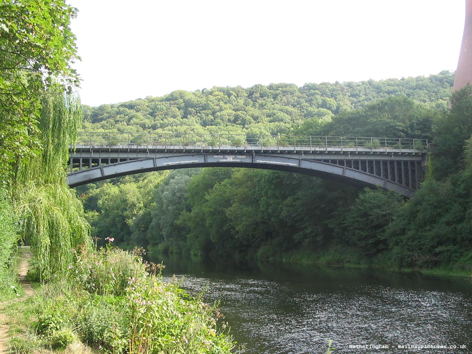
Albert Edward Bridge
The Albert Edward Bridge is a railway bridge spanning the River Severn at Coalbrookdale in Shropshire, England. == History == Opened on 1 November 1864...
Related Videos
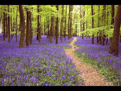
Hiking Near Ironbridge | Bluebell Wood
A walk in the World Heritage Site of Ironbridge Gorge which takes you through magnificent woodland, past the Museum of the ...

Walking in Ironbridge ,England #relaxingsounds #walkingvideo #originalsong #4k #asmar#ironbridge #uk
Ironbridge is a large village in the borough of Telford and Wrekin in Shropshire, England. Located on the bank of the River Severn ...

Walking around Ironbridge 22/1/23
Starting at the Half Moon Inn, Ironbridge we crossed the river and climbed up to the Madeley Court Hotel. We then descended into ...

Walking Farts
Walking farts in town.
Nearby Amenities
Located within 500m of 52.618476,-2.530309Have you been to Audience Wood?
Leave your review of Audience Wood below (or comments, questions and feedback).