Old Quarry Plantation
Wood, Forest in Shropshire
England
Old Quarry Plantation
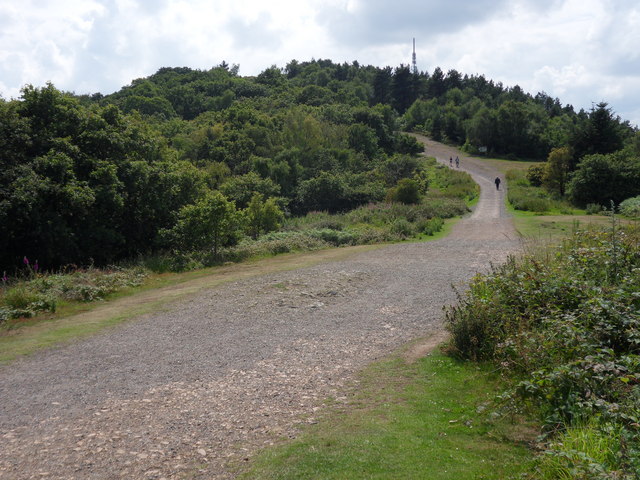
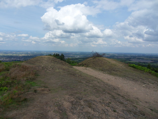
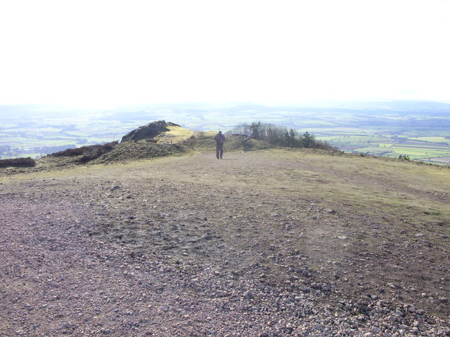
Old Quarry Plantation is a picturesque woodland area located in Shropshire, England. Covering an expansive area, it is situated in close proximity to the village of Wood and is known for its dense forest and natural beauty. The plantation is renowned for its diverse range of flora and fauna, making it a popular spot for nature enthusiasts and hikers.
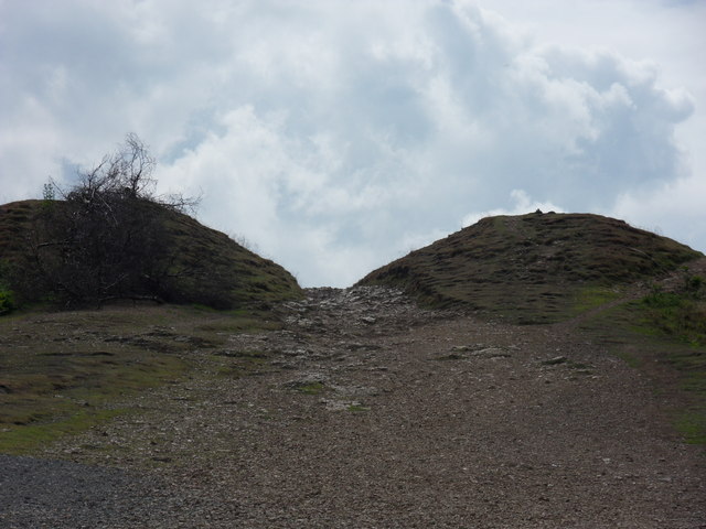
The woodland is named after an old quarry that was once active in the area, but has since been reclaimed by nature. The remnants of the quarry can still be seen, adding a unique touch to the landscape. The plantation is characterized by tall, mature trees including oak, beech, and birch, which create a dense canopy that provides shade and shelter for a variety of wildlife.
The forest is home to a range of animal species, including deer, rabbits, squirrels, and a multitude of bird species. Visitors can often spot these creatures while exploring the well-marked trails that wind through the plantation. The peaceful atmosphere and tranquil surroundings make it an ideal place for birdwatching and photography.
Aside from its natural beauty, Old Quarry Plantation also holds historical significance. There are remnants of ancient settlements and archaeological sites within the woodland, offering a glimpse into the region's past. Visitors can explore these historical sites and learn about the rich cultural heritage of the area.
Overall, Old Quarry Plantation is a captivating destination that offers a unique blend of natural beauty and historical charm. Whether it is for a leisurely stroll, wildlife spotting, or a deeper exploration of the region's history, this woodland sanctuary is sure to leave a lasting impression on all who visit.
If you have any feedback on the listing, please let us know in the comments section below.
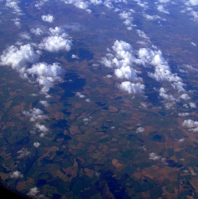
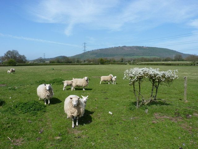
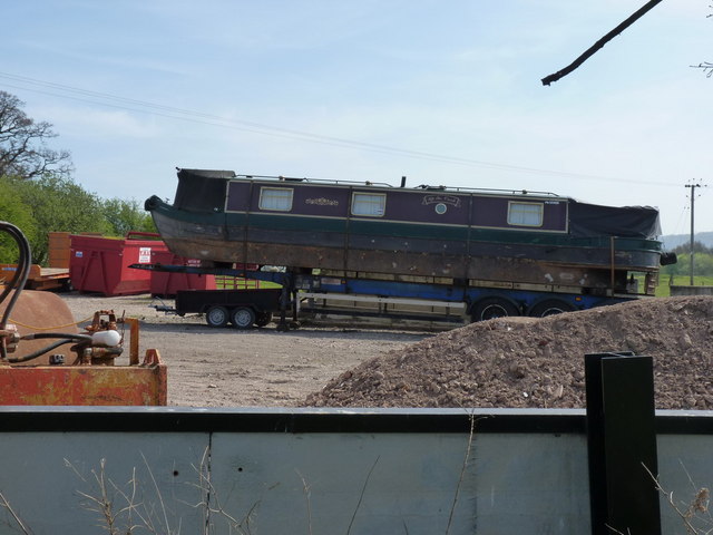
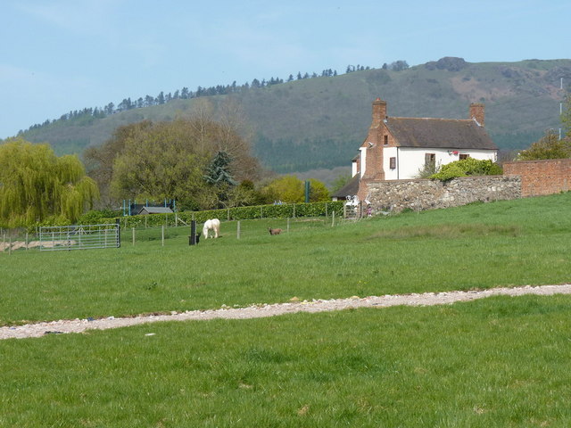
Old Quarry Plantation Images
Images are sourced within 2km of 52.663118/-2.5307903 or Grid Reference SJ6407. Thanks to Geograph Open Source API. All images are credited.


Old Quarry Plantation is located at Grid Ref: SJ6407 (Lat: 52.663118, Lng: -2.5307903)
Unitary Authority: Telford and Wrekin
Police Authority: West Mercia
What 3 Words
///steam.surfaces.clerics. Near Wellington, Shropshire
Nearby Locations
Related Wikis

Little Wenlock
Little Wenlock is a village and civil parish in the Telford and Wrekin borough in Shropshire, England. The population of the civil parish at the 2011 census...

The Wrekin
The Wrekin ( REE-kin) is a hill in east Shropshire, England. It is located some five miles (8 km) west of Telford, on the border between the unitary authorities...
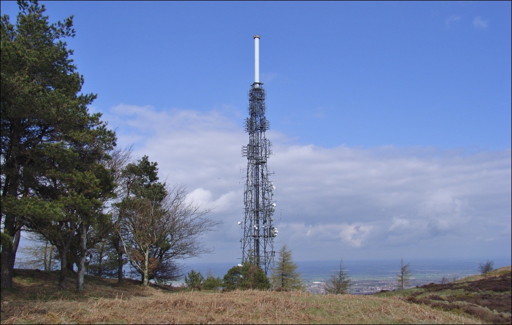
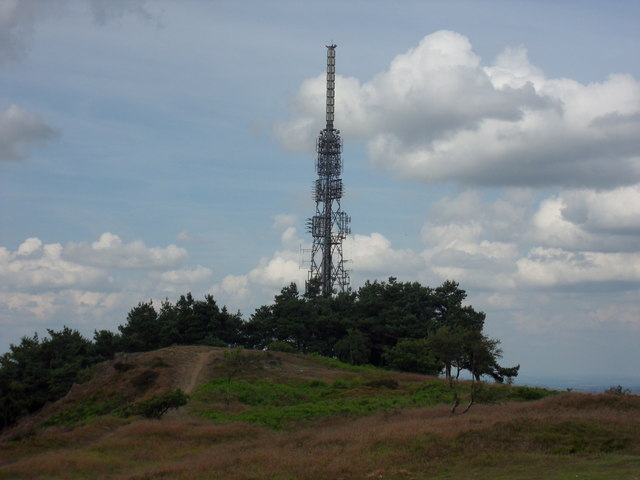
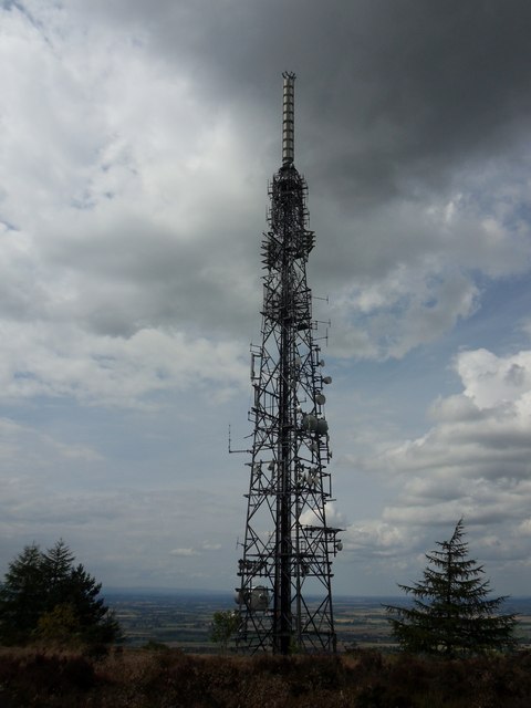
The Wrekin transmitting station
The Wrekin transmitting station is a telecommunications and broadcasting facility on The Wrekin, a hill in the county of Shropshire, England. It includes...

Wrekin Terrane
The Wrekin Terrane is one of five inferred fault bounded terranes that make up the basement rocks of the southern United Kingdom. The other notable geological...
Nearby Amenities
Located within 500m of 52.663118,-2.5307903Have you been to Old Quarry Plantation?
Leave your review of Old Quarry Plantation below (or comments, questions and feedback).