Mellor Knoll Wood
Wood, Forest in Yorkshire Ribble Valley
England
Mellor Knoll Wood
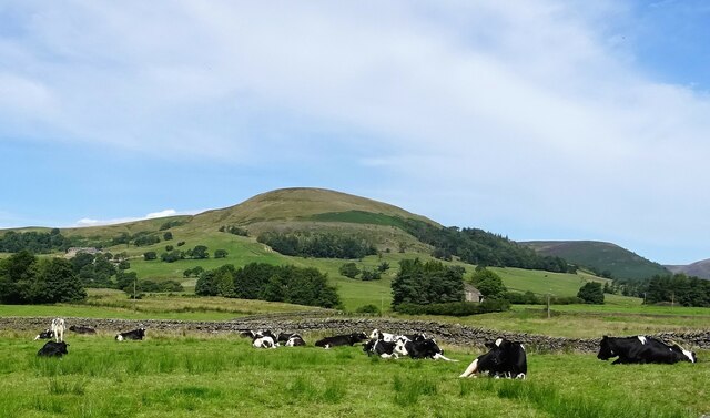
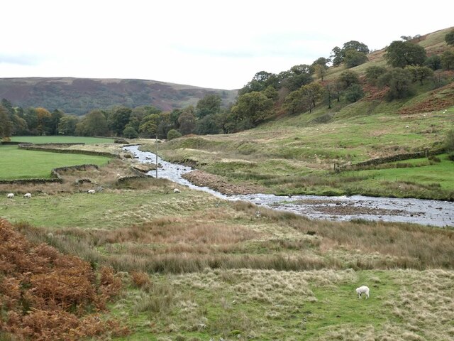
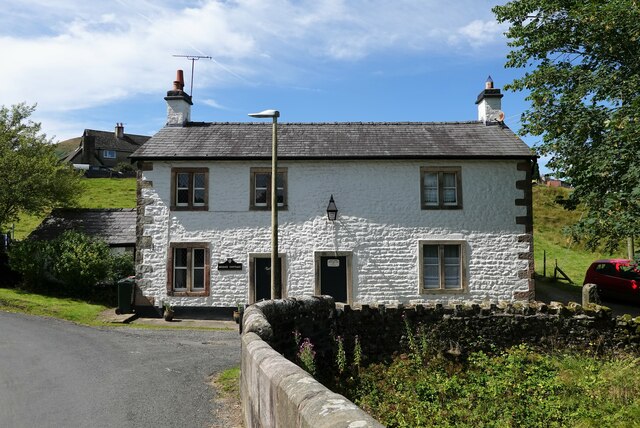
Mellor Knoll Wood is a picturesque woodland located in Yorkshire, England. Spanning over an area of approximately 100 acres, it is a popular destination for nature enthusiasts and outdoor adventurers alike. The woodland is situated on the outskirts of the village of Mellor Knoll, offering a tranquil escape from the hustle and bustle of urban life.
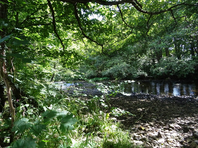
The wood is characterized by its diverse range of tree species, including oak, beech, and birch. These majestic trees provide a dense canopy, creating a shaded and cool environment within the wood. The forest floor is covered with a rich carpet of moss, ferns, and wildflowers, providing a habitat for various small creatures and insects.
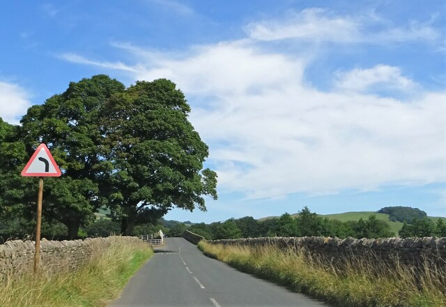
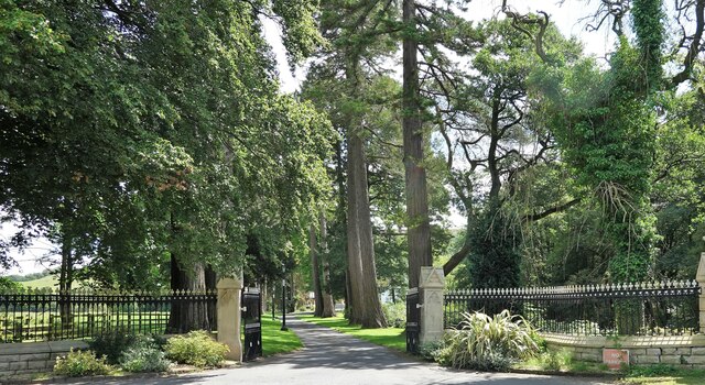
Visitors to Mellor Knoll Wood can enjoy a network of well-maintained walking trails that wind through the woodland. These trails offer varying levels of difficulty, catering to both casual strollers and seasoned hikers. Along the way, one can discover hidden streams, cascading waterfalls, and breathtaking viewpoints that overlook the surrounding countryside.
The wood is also home to a diverse array of wildlife. Birdwatchers can spot a variety of species, including woodpeckers, owls, and various songbirds. Squirrels and rabbits are a common sight, and lucky visitors may even catch a glimpse of elusive deer or foxes.
Mellor Knoll Wood is open to the public year-round, and visitors are encouraged to respect the natural surroundings and adhere to the guidelines for preserving the woodland. With its serene beauty and abundant wildlife, Mellor Knoll Wood offers a truly immersive and enchanting experience for all who venture within its boundaries.
If you have any feedback on the listing, please let us know in the comments section below.
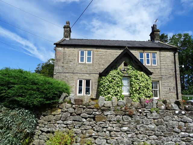
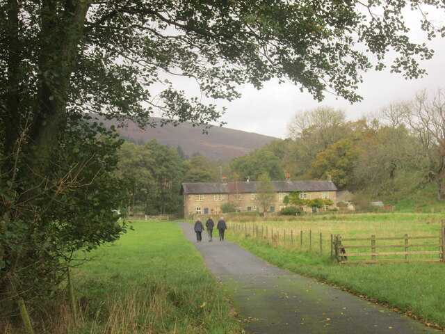
Mellor Knoll Wood Images
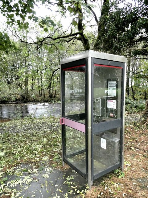
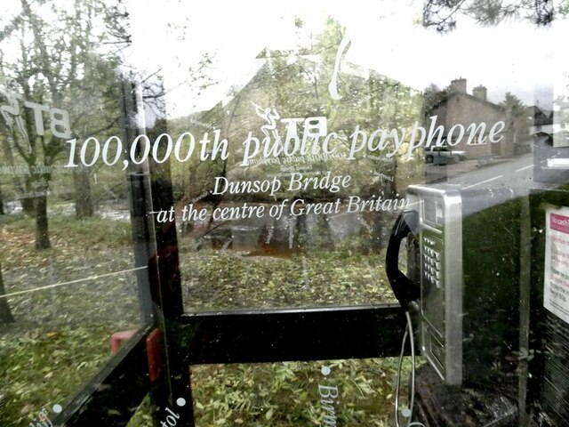
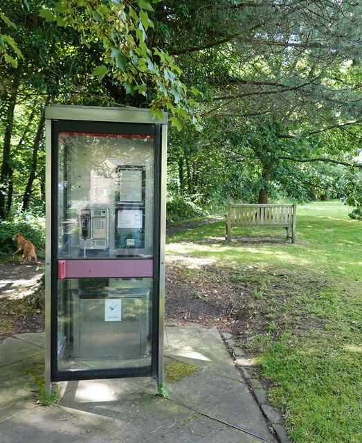
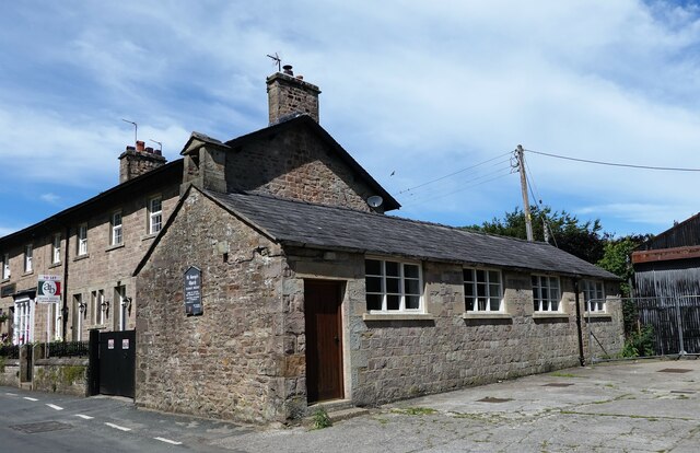
Images are sourced within 2km of 53.937722/-2.5351129 or Grid Reference SD6449. Thanks to Geograph Open Source API. All images are credited.
Mellor Knoll Wood is located at Grid Ref: SD6449 (Lat: 53.937722, Lng: -2.5351129)
Division: West Riding
Administrative County: Lancashire
District: Ribble Valley
Police Authority: Lancashire
What 3 Words
///straddled.ship.messy. Near Waddington, Lancashire
Nearby Locations
Related Wikis

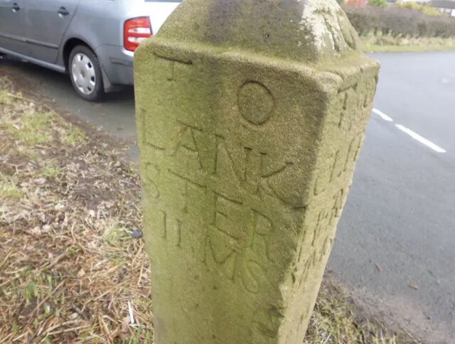
Bowland Forest High milestone
The Bowland Forest High milestone is an historic milestone marker in the English parish of Bowland Forest High, in the Trough of Bowland, Lancashire. A...

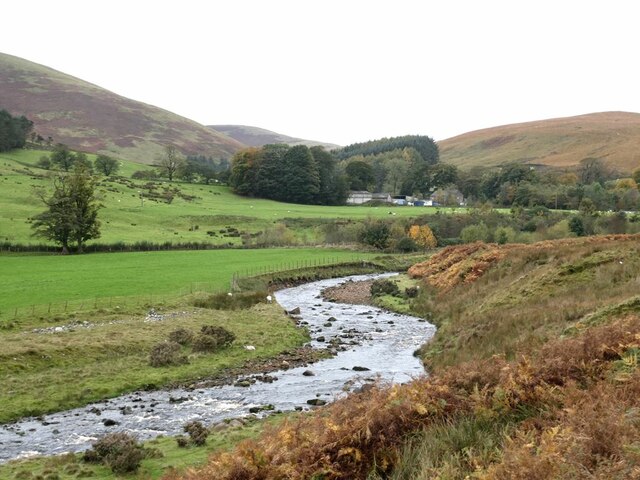
Langden Brook
Langden Brook is a watercourse in the Trough of Bowland, Lancashire, England. A tributary of the River Hodder, its source is near the summit of Hawthornthwaite...

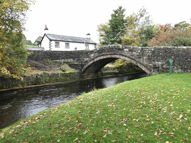
Dunsop Bridge (structure)
Dunsop Bridge is a bridge in the English village of the same name. The structure, which dates to the early 19th century, crosses the River Dunsop. A Grade...

Bowland Forest High
Bowland Forest High is a civil parish in the Ribble Valley district of Lancashire, England, covering some 20,000 acres (80 km2) of the Forest of Bowland...
Nearby Amenities
Located within 500m of 53.937722,-2.5351129Have you been to Mellor Knoll Wood?
Leave your review of Mellor Knoll Wood below (or comments, questions and feedback).