Copt Green

Settlement in Warwickshire Warwick

England

Copt Green

Kingswood-Stratford Canal M40 Motorway Bridge.
Kingswood-Stratford Canal Credit: Ian Rob

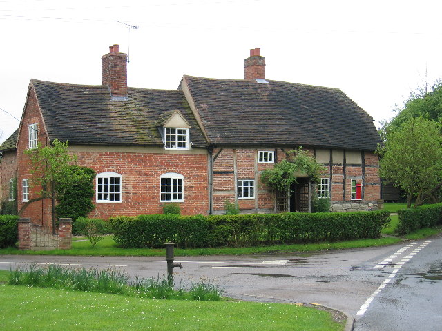
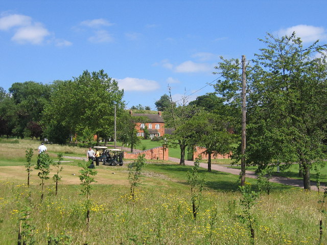
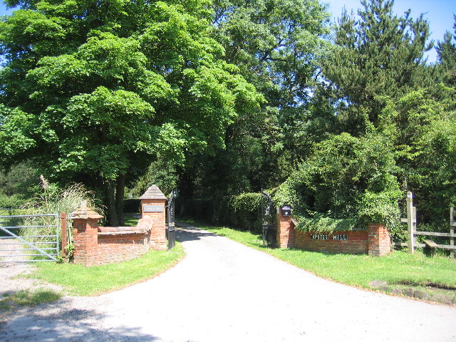
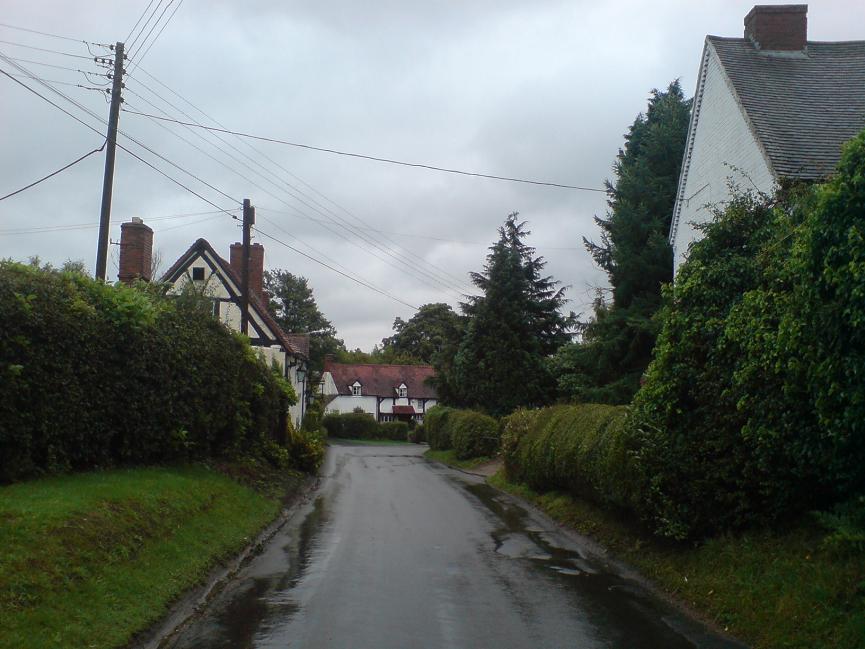
Copt Green is a small village located in the county of Warwickshire, England. Situated near the town of Nuneaton, it is surrounded by picturesque countryside and offers a tranquil rural setting. The village is known for its charming character and historic architecture, with many buildings dating back to the 17th and 18th centuries.

The village is home to a close-knit community, consisting of around 250 residents. Despite its small size, Copt Green has a strong sense of community spirit and residents often come together for various events and activities. The village has a local pub, which serves as a popular meeting place for locals and visitors alike.

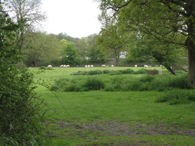
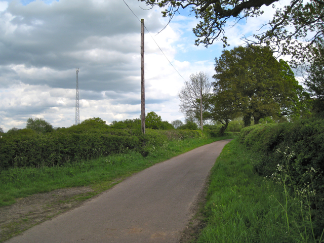
Surrounded by beautiful natural landscapes, Copt Green offers ample opportunities for outdoor activities. The nearby countryside provides ideal conditions for hiking, cycling, and horse riding, making it popular among outdoor enthusiasts.

For amenities and services, residents of Copt Green often rely on the nearby town of Nuneaton. Nuneaton offers a range of facilities including shops, supermarkets, schools, and healthcare services.

Copt Green is well-connected by road, with easy access to major routes such as the A5 and M69, allowing residents to easily travel to nearby towns and cities. The village also benefits from a regular bus service, providing convenient transportation options for those without private vehicles.

Overall, Copt Green offers a peaceful and idyllic countryside living experience, while still providing access to essential amenities and nearby urban centers.

If you have any feedback on the listing, please let us know in the comments section below.
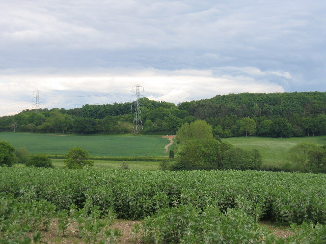
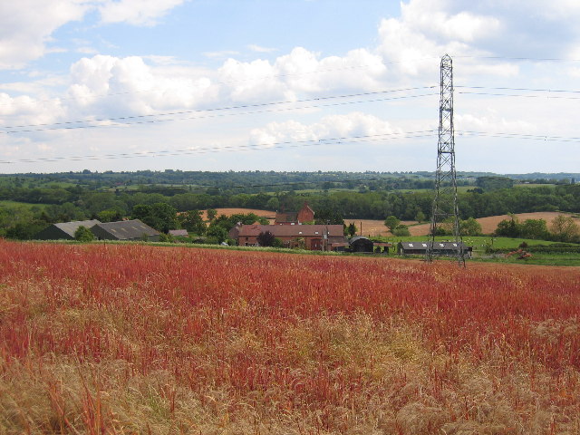
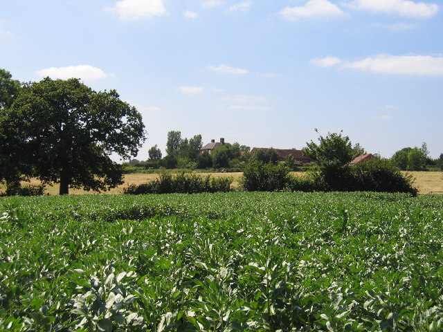
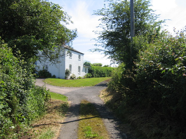
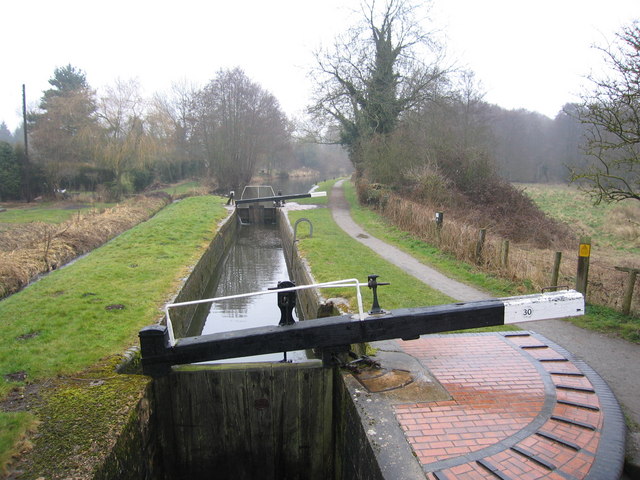
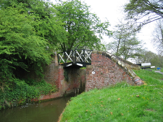
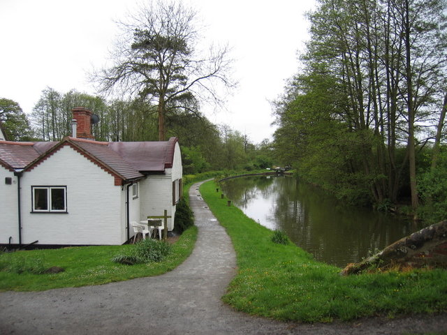
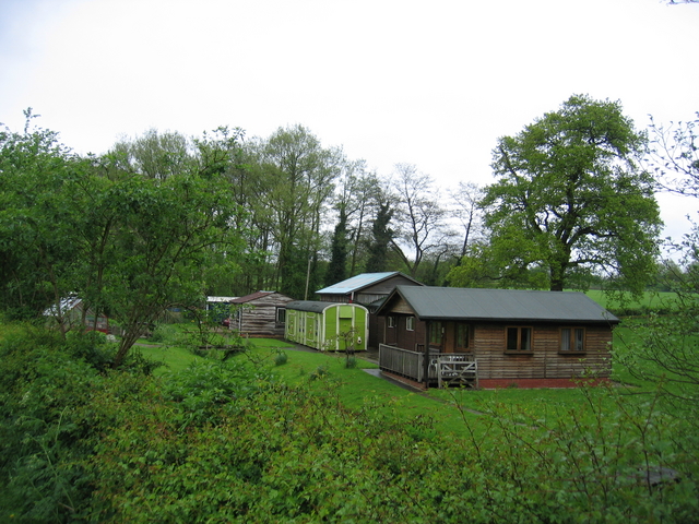
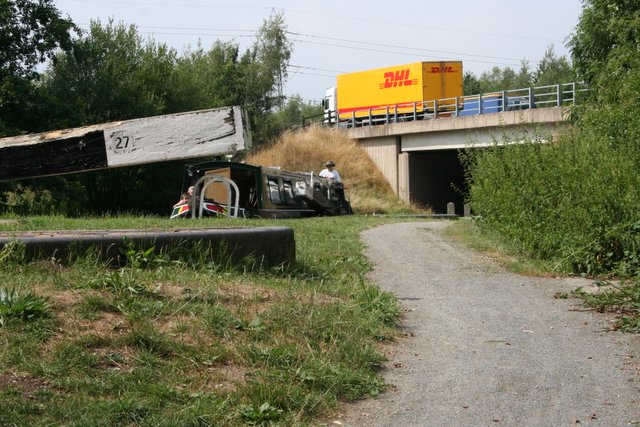
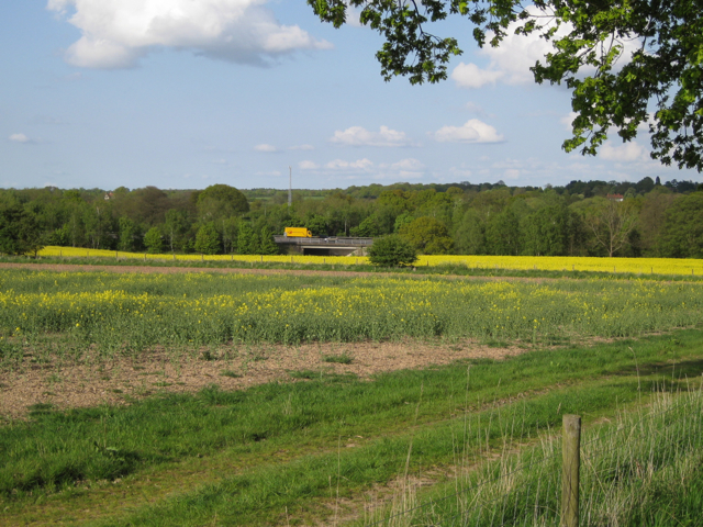
Copt Green Images

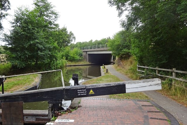
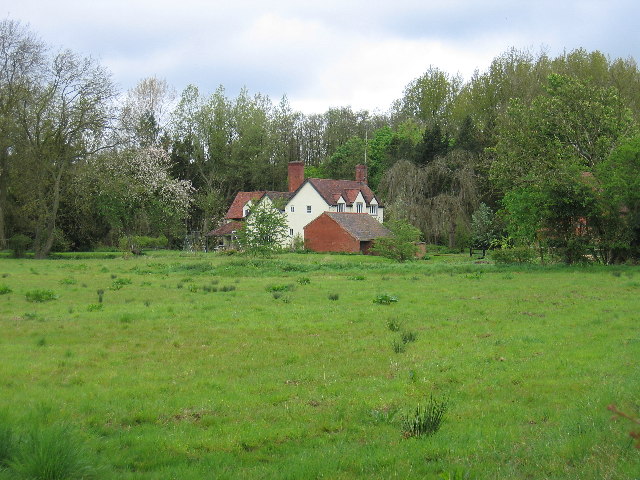
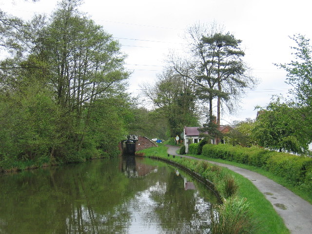
Images are sourced within 2km of 52.322848/-1.74834 or Grid Reference SP1769. Thanks to Geograph Open Source API. All images are credited.

Kingswood-Stratford Canal M40 Motorway Bridge.
Kingswood-Stratford Canal
M40 Motorway Bridge.
Bushwood Hall This moated building is seen from the adjacent fields
Bushwood Hall
This moated building is seen from the adjacent fields
Dick's Lane Bridge On the Southern Stratford upon Avon Canal with a lock just beyond and one of the characteristic barrel roofed lock keepers cottages in the trees
Dick's Lane Bridge
On the Southern Stratford upon Avon Canal with a lock just beyond and one of the characteristic barrel roofed lock keepers cottages in the trees
Lowsonford The cottages and village pump at the junction with Mill Lane
Lowsonford
The cottages and village pump at the junction with Mill Lane
Bush Wood Seen from Ireland's Lane
Bush Wood
Seen from Ireland's Lane
Beaudesert Looking south from above Ireland's Farm, seen at the foot of the hill.  The trees in the middle distance are on the embankment of the long disused original railway to Henley-in-Arden from Rowington Junction.
Beaudesert
Looking south from above Ireland's Farm, seen at the foot of the hill. The trees in the middle distance are on the embankment of the long disused original railway to Henley-in-Arden from Rowington Junction.
Lapworth Lodge Seen across the fields from the east on Bushwood Lane.
Lapworth Lodge
Seen across the fields from the east on Bushwood Lane.
Edge Lane This green lane, the name suggests, runs along the edge of the escarpment to the east of Henley in Arden.  It was severed by the building of a cutting through the escarpment for the original railway to Henley in Arden from Rowington Junction. Today portions of the lane are still in use, in this case to a cottage at Parsonfield.
Edge Lane
This green lane, the name suggests, runs along the edge of the escarpment to the east of Henley in Arden. It was severed by the building of a cutting through the escarpment for the original railway to Henley in Arden from Rowington Junction. Today portions of the lane are still in use, in this case to a cottage at Parsonfield.
Haven Pastures Golf & Country Club This club is beside the main Birmingham - Henley in Arden road at Liveridge Hill.
Haven Pastures Golf & Country Club
This club is beside the main Birmingham - Henley in Arden road at Liveridge Hill.
Tapster Mill The impressive gates of Tapster Mill, once a windmill, on Bushwood Lane.
Tapster Mill
The impressive gates of Tapster Mill, once a windmill, on Bushwood Lane.
Lock 30 Stratford on Avon Canal Taken from Mill Lane, Lowsonford, and part of the Heart of England Way.
Lock 30 Stratford on Avon Canal
Taken from Mill Lane, Lowsonford, and part of the Heart of England Way.
Dick's Lane Bridge One of the characteristic Stratford-upon-Avon split bridges at the tail of the lock.  These bridges were built with a gap in the middle to allow the towing line to drop down the middle in the days of horse drawn narrow boats.  This meant that the bridge did not need to be wide enough to have a towpath (and thus was cheaper to build) and the boat could pass through without unhitching the tow line.  Needless to say such bridges can only carry light loads.
Dick's Lane Bridge
One of the characteristic Stratford-upon-Avon split bridges at the tail of the lock. These bridges were built with a gap in the middle to allow the towing line to drop down the middle in the days of horse drawn narrow boats. This meant that the bridge did not need to be wide enough to have a towpath (and thus was cheaper to build) and the boat could pass through without unhitching the tow line. Needless to say such bridges can only carry light loads.
Dick's Lane lock house Another characteristic sight by the Stratford-upon-Avon canal is these barrel roof lock-keepers' houses.  The shape is said to be the result of using the formwork originally used for constructing the brick arches for the heavier bridges over the canal as roofing supports.
Dick's Lane lock house
Another characteristic sight by the Stratford-upon-Avon canal is these barrel roof lock-keepers' houses. The shape is said to be the result of using the formwork originally used for constructing the brick arches for the heavier bridges over the canal as roofing supports.
Railway Van A nicely preserved old railway van body, complete with tail lamp, beside the canal at Dick's Lane.
Railway Van
A nicely preserved old railway van body, complete with tail lamp, beside the canal at Dick's Lane.
M40 crossing Stratford on Avon canal Given the choice between the two pictured modes of transport, I know which one I'd rather be on. In fact, I was on my preferred choice as my wife took this picture whilst I guided the boat into the lock. This is lock 27, Lapworth Bottom Lock, and  I suppose the official start of the Lapworth Flight. Lapworth Top Lock is 25 locks away.
M40 crossing Stratford on Avon canal
Given the choice between the two pictured modes of transport, I know which one I'd rather be on. In fact, I was on my preferred choice as my wife took this picture whilst I guided the boat into the lock. This is lock 27, Lapworth Bottom Lock, and I suppose the official start of the Lapworth Flight. Lapworth Top Lock is 25 locks away.
East of 'High Chimneys', 17:57 BST Strictly, 4:56:55 GMT because I forgot to reset the camera when we put the clocks forward. What a farce!

Whatever. The photo includes some characteristic elements of this corner of modern Warwickshire: the M40 crosses the South Stratford canal by bridge 39A; the structure beyond the lorry is a radio mast for Chiltern Railways on the Snow Hill line; big houses are tucked away among the trees; and the fields of oilseed rape are relatively small.
East of 'High Chimneys', 17:57 BST
Strictly, 4:56:55 GMT because I forgot to reset the camera when we put the clocks forward. What a farce! Whatever. The photo includes some characteristic elements of this corner of modern Warwickshire: the M40 crosses the South Stratford canal by bridge 39A; the structure beyond the lorry is a radio mast for Chiltern Railways on the Snow Hill line; big houses are tucked away among the trees; and the fields of oilseed rape are relatively small.
Sheep by the M40 The same field as in <a href="https://www.geograph.org.uk/photo/1869021">SP1869 : Footpath beside M40</a>. The M40 is behind the trees on a low embankment.
Sheep by the M40
The same field as in SP1869 : Footpath beside M40. The M40 is behind the trees on a low embankment.
Radio mast by the railway Seen from Dicks Lane. The railway is the Snow Hill line between Hatton and Lapworth.
Radio mast by the railway
Seen from Dicks Lane. The railway is the Snow Hill line between Hatton and Lapworth.
Show me another place!

Copt Green is located at Grid Ref: SP1769 (Lat: 52.322848, Lng: -1.74834)

Administrative County: Warwickshire

District: Warwick

Police Authority: Warwickshire

What 3 Words

///wordplay.fevered.vital. Near Hockley Heath, West Midlands

Related Wikis

Bushwood

Bushwood is a hamlet in Warwickshire, located three miles north of Henley in Arden and a mile west of the M40 motorway. There is no village centre as such...

Lapworth

Lapworth is a village and civil parish in Warwickshire, England, which had a population of 2,100 according to the 2001 census; this had fallen to 1,828...

Kingswood Junction

Kingswood Junction (grid reference SP185709) is a canal junction where the Stratford-upon-Avon Canal meets the Grand Union Canal at Kingswood, Warwickshire...

Lowsonford

Lowsonford is a small village within the parish of Rowington in Warwickshire, England. The village lies 4 miles (6.4 km) north-east of Henley-in-Arden...

Buckley Green

Buckley Green is a small village and village green situated 0.75 miles north of Henley-in-Arden, Warwickshire. Population details can be found under Beaudesert

Kingswood, Warwickshire

Kingswood is an area in the civil parishes of Lapworth and Rowington in Warwick District, Warwickshire, England. It forms the main residential area of...

Lapworth railway station

Lapworth railway station serves the village of Kingswood, Warwickshire, near the village of Lapworth from which it takes its name. It has two platforms...

Packwood House

Packwood House is a timber-framed Tudor manor house in Packwood on the Solihull border near Lapworth, Warwickshire. Owned by the National Trust since...

Nearby Amenities

Located within 500m of 52.322848,-1.74834
Post Box
Collection Times: Mo-Fr 09:00; Sa 07:00
Note: no "D" after ref despite collection times
Operator: Royal Mail
Post Box Type: lamp
Ref: B94 118
Royal Cypher: EIIR
Royal Cypher Wikidata: Q33102113
Source: survey
Lat/Long: 52.3215299/-1.7495095
Power: pole
Ref: 720145
Source: survey
Transformer: distribution
Lat/Long: 52.3270084/-1.7497619
Fire Hydrant
Emergency: fire_hydrant
Fire Hydrant Type: underground
Source: survey
Lat/Long: 52.3271518/-1.749326
Barrier: stile
Source: survey
Lat/Long: 52.3257027/-1.7506939
Barrier: stile
Source: survey
Lat/Long: 52.3254175/-1.7461757
Barrier: kissing_gate
Lat/Long: 52.3244467/-1.7491016
Note: tiniest of gaps in the hedge - no FP marker
Lat/Long: 52.3236062/-1.7490581
Grit Bin
Source: survey
Lat/Long: 52.3221076/-1.7533413
Fire Hydrant
Emergency: fire_hydrant
Fire Hydrant Type: underground
Source: survey
Lat/Long: 52.322424/-1.7552295
Grit Bin
Source: survey
Lat/Long: 52.3216273/-1.7495272
Power: pole
Source: bing
Lat/Long: 52.3187418/-1.7495808
Power: pole
Source: bing
Lat/Long: 52.3192861/-1.7488566
Power: pole
Source: bing
Lat/Long: 52.3198091/-1.7481834
Power: pole
Source: bing
Lat/Long: 52.3203714/-1.7474377
Power: pole
Ref: 720133
Source: wpd_open_data
Transformer: distribution
Lat/Long: 52.3208272/-1.7433044
Power: pole
Source: bing
Lat/Long: 52.3209551/-1.7451873
Power: pole
Source: bing
Lat/Long: 52.3210485/-1.7465419
Power: pole
Source: bing
Lat/Long: 52.3211469/-1.7478964
Power: pole
Source: bing
Lat/Long: 52.3212455/-1.7492482
Power: pole
Source: bing
Lat/Long: 52.3262601/-1.749731
Power: pole
Source: bing
Lat/Long: 52.32547/-1.7496747
Power: pole
Source: bing
Lat/Long: 52.3246536/-1.7496344
Power: pole
Source: bing
Lat/Long: 52.3240191/-1.7495111
Power: pole
Ref: 720138
Source: bing
Transformer: distribution
Lat/Long: 52.3232404/-1.7494091
Power: pole
Source: bing
Lat/Long: 52.3227454/-1.7496371
Power: pole
Source: bing
Lat/Long: 52.3222076/-1.7498812
Power: pole
Source: bing
Lat/Long: 52.3217109/-1.7500985
Power: pole
Source: bing
Lat/Long: 52.3217453/-1.7513779
Power: pole
Source: bing
Lat/Long: 52.3217863/-1.7526868
Power: pole
Source: bing
Lat/Long: 52.3218142/-1.753875
Power: pole
Source: bing
Lat/Long: 52.3218633/-1.7552778
The data included in this document is from www.openstreetmap.org. The data is made available under ODbL.

Have you been to Copt Green?

Leave your review of Copt Green below (or comments, questions and feedback).