Windmill Hill

Hill, Mountain in Warwickshire Warwick

England

Windmill Hill

Grand Union Canal near Turner's Green
Grand Union Canal near Turner's Green Credit: Mark Percy

Windmill Hill is a prominent landmark located in Warwickshire, England. Standing at an elevation of approximately 215 meters, it is considered one of the highest points in the county. The hill derives its name from the presence of an old windmill that once stood atop its summit, serving as a vital source of power for the local community.

The hill offers panoramic views of the surrounding countryside, providing visitors with a breathtaking sight of the Warwickshire landscape. On clear days, one can observe the rolling hills, lush green fields, and picturesque villages that dot the region. The beauty of the area is further accentuated by the presence of diverse flora and fauna, making it a popular spot for nature enthusiasts and photographers.

Windmill Hill is also steeped in history. It is believed to have been a site of human activity dating back to the Bronze Age, as evidenced by the discovery of ancient burial mounds and artifacts in the vicinity. Additionally, the hill played a significant role during the English Civil War, serving as a vantage point for strategic military operations.

Today, Windmill Hill continues to attract visitors who are drawn to its natural beauty, historical significance, and the opportunity for outdoor activities such as hiking and birdwatching. The hill is easily accessible by foot or car, with designated trails and parking areas available. Whether one is seeking a peaceful retreat or an adventure in nature, Windmill Hill offers a captivating experience for all.

If you have any feedback on the listing, please let us know in the comments section below.

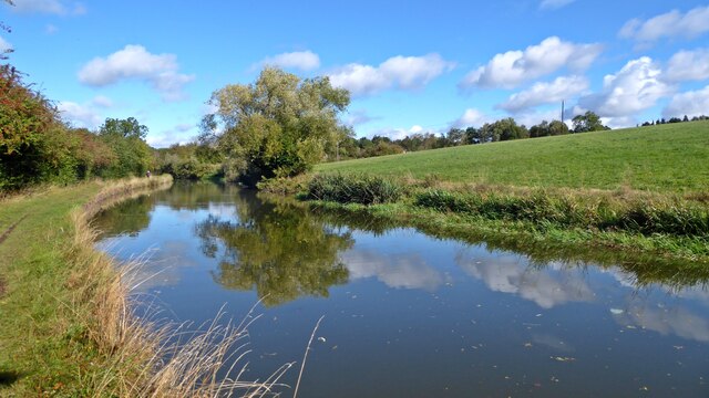
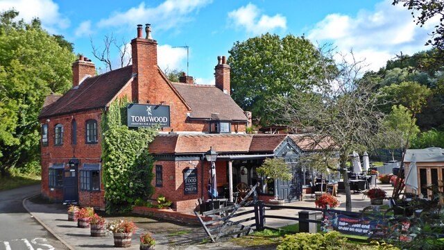
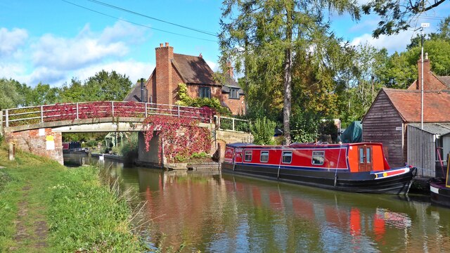
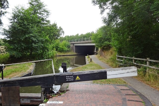
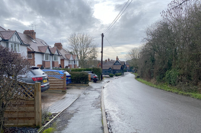
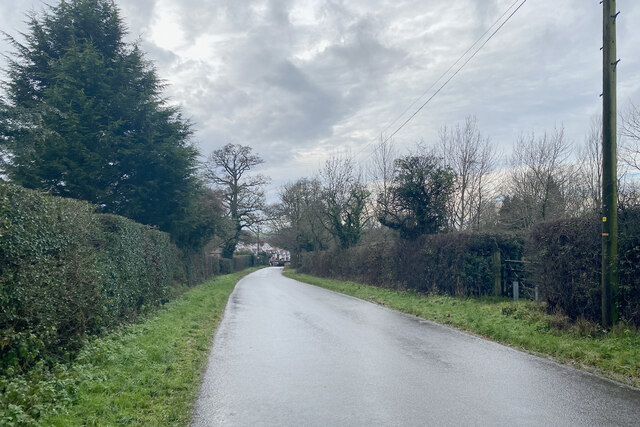
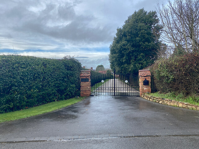
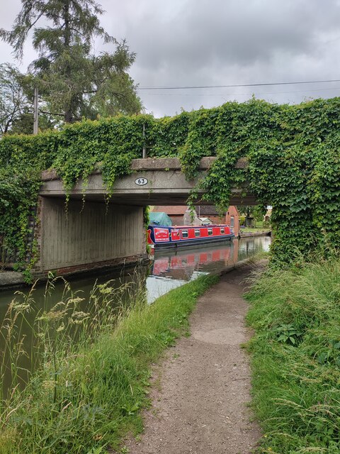
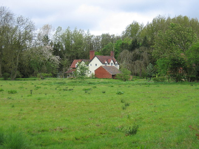
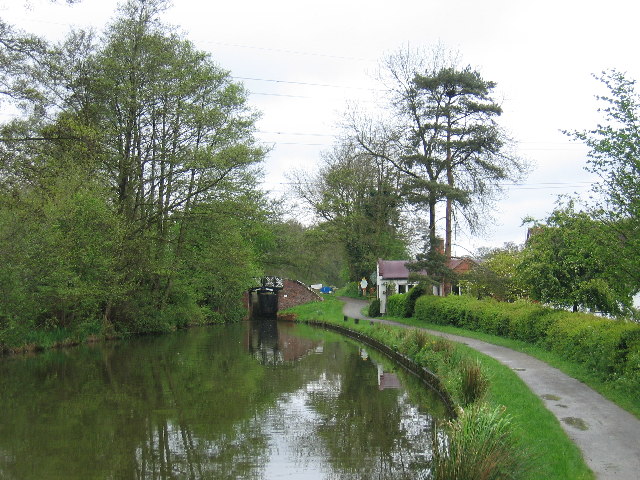
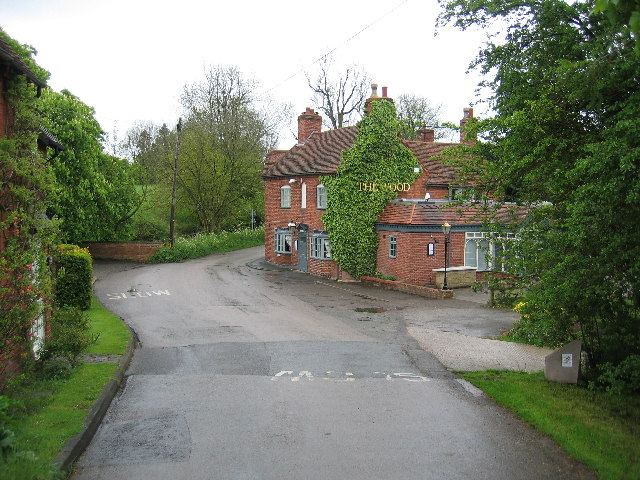
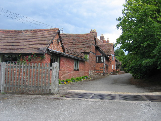
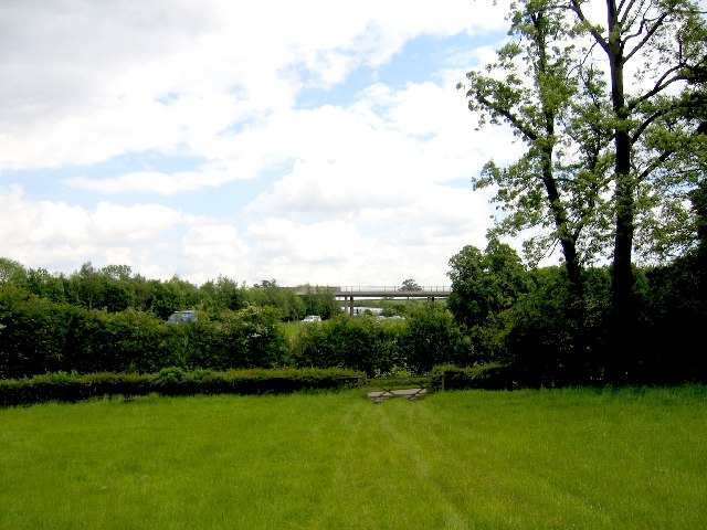
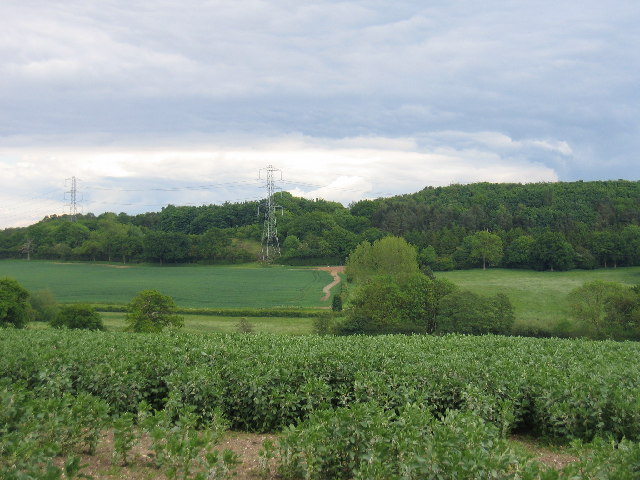
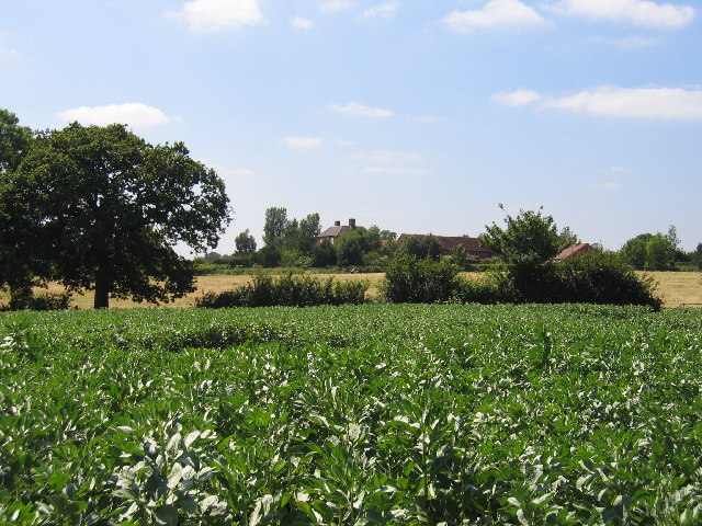
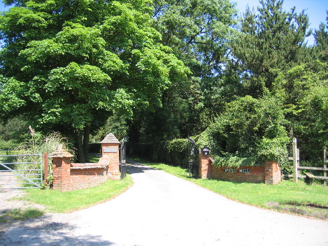
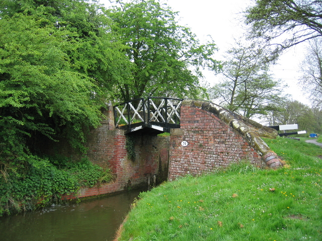
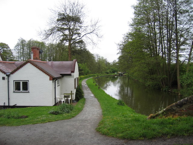
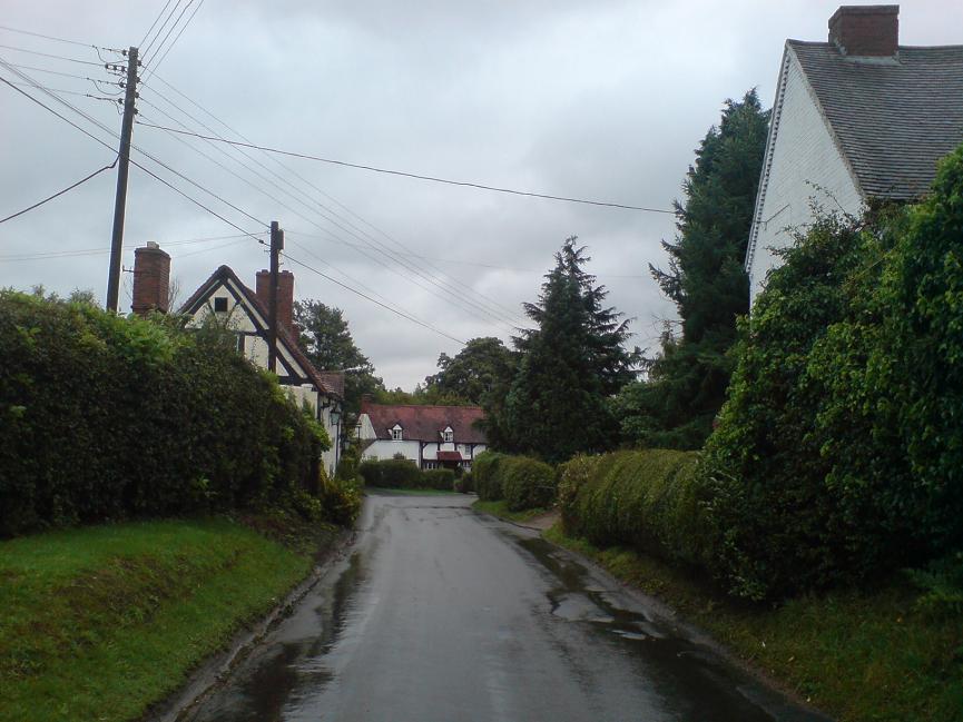
Windmill Hill Images

Images are sourced within 2km of 52.32701/-1.741031 or Grid Reference SP1769. Thanks to Geograph Open Source API. All images are credited.

Grand Union Canal near Turner's Green
Tom O'The Wood country pub and restaurant
Grand Union Canal at Turner's Green
Kingswood-Stratford Canal M40 Motorway Bridge.
Kingswood-Stratford Canal
M40 Motorway Bridge.
Approaching Turner's Green Finwood Road drops down into the canalside hamlet.
Approaching Turner's Green
Finwood Road drops down into the canalside hamlet.
Southwest on Finwod Road Finwood Road turns south from the Old Warwick Road for Turner's Green, ahead, and Lowsonford.
Southwest on Finwod Road
Finwood Road turns south from the Old Warwick Road for Turner's Green, ahead, and Lowsonford.
Gates to Windmill Cottage, Turner's Green An entrance on Finwood Road. Old maps show Windmill House here and a circular feature where a windmill  might have been. This is the same relatively high ground as the Rowington Mill site <a href="https://www.geograph.org.uk/photo/7378320">SP2070 : Rowington Mill, Rowington Green</a>.
Gates to Windmill Cottage, Turner's Green
An entrance on Finwood Road. Old maps show Windmill House here and a circular feature where a windmill might have been. This is the same relatively high ground as the Rowington Mill site SP2070 : Rowington Mill, Rowington Green.
Turner's Green Bridge
Bushwood Hall This moated building is seen from the adjacent fields
Bushwood Hall
This moated building is seen from the adjacent fields
Dick's Lane Bridge On the Southern Stratford upon Avon Canal with a lock just beyond and one of the characteristic barrel roofed lock keepers cottages in the trees
Dick's Lane Bridge
On the Southern Stratford upon Avon Canal with a lock just beyond and one of the characteristic barrel roofed lock keepers cottages in the trees
Turner's Green The Tom O'the Wood public house, taken from the bridge over the adjacent Grand Union Canal
Turner's Green
The Tom O'the Wood public house, taken from the bridge over the adjacent Grand Union Canal
Finwood Farm Now converted into housing
Finwood Farm
Now converted into housing
Rowington Junction The site of Rowington Junction, between the Birmingham - Leamington Spa main line and the original branch to Henley-in-Arden is buried under the M40 and the bridge visible on the skyline.  The 1992 1:50,000 OS Map showed this road going under the railway and motorway rather than over it!
Rowington Junction
The site of Rowington Junction, between the Birmingham - Leamington Spa main line and the original branch to Henley-in-Arden is buried under the M40 and the bridge visible on the skyline. The 1992 1:50,000 OS Map showed this road going under the railway and motorway rather than over it!
Bush Wood Seen from Ireland's Lane
Bush Wood
Seen from Ireland's Lane
Lapworth Lodge Seen across the fields from the east on Bushwood Lane.
Lapworth Lodge
Seen across the fields from the east on Bushwood Lane.
Tapster Mill The impressive gates of Tapster Mill, once a windmill, on Bushwood Lane.
Tapster Mill
The impressive gates of Tapster Mill, once a windmill, on Bushwood Lane.
Dick's Lane Bridge One of the characteristic Stratford-upon-Avon split bridges at the tail of the lock.  These bridges were built with a gap in the middle to allow the towing line to drop down the middle in the days of horse drawn narrow boats.  This meant that the bridge did not need to be wide enough to have a towpath (and thus was cheaper to build) and the boat could pass through without unhitching the tow line.  Needless to say such bridges can only carry light loads.
Dick's Lane Bridge
One of the characteristic Stratford-upon-Avon split bridges at the tail of the lock. These bridges were built with a gap in the middle to allow the towing line to drop down the middle in the days of horse drawn narrow boats. This meant that the bridge did not need to be wide enough to have a towpath (and thus was cheaper to build) and the boat could pass through without unhitching the tow line. Needless to say such bridges can only carry light loads.
Dick's Lane lock house Another characteristic sight by the Stratford-upon-Avon canal is these barrel roof lock-keepers' houses.  The shape is said to be the result of using the formwork originally used for constructing the brick arches for the heavier bridges over the canal as roofing supports.
Dick's Lane lock house
Another characteristic sight by the Stratford-upon-Avon canal is these barrel roof lock-keepers' houses. The shape is said to be the result of using the formwork originally used for constructing the brick arches for the heavier bridges over the canal as roofing supports.
Show me another place!

Windmill Hill is located at Grid Ref: SP1769 (Lat: 52.32701, Lng: -1.741031)

Administrative County: Warwickshire

District: Warwick

Police Authority: Warwickshire

What 3 Words

///soggy.type.rejoin. Near Hockley Heath, West Midlands

Related Wikis

Bushwood

Bushwood is a hamlet in Warwickshire, located three miles north of Henley in Arden and a mile west of the M40 motorway. There is no village centre as such...

Kingswood Junction

Kingswood Junction (grid reference SP185709) is a canal junction where the Stratford-upon-Avon Canal meets the Grand Union Canal at Kingswood, Warwickshire...

Lapworth

Lapworth is a village and civil parish in Warwickshire, England, which had a population of 2,100 according to the 2001 census; this had fallen to 1,828...

Kingswood, Warwickshire

Kingswood is an area in the civil parishes of Lapworth and Rowington in Warwick District, Warwickshire, England. It forms the main residential area of...

Lapworth railway station

Lapworth railway station serves the village of Kingswood, Warwickshire, near the village of Lapworth from which it takes its name. It has two platforms...

Lowsonford

Lowsonford is a small village within the parish of Rowington in Warwickshire, England. The village lies 4 miles (6.4 km) north-east of Henley-in-Arden...

Packwood House

Packwood House is a timber-framed Tudor manor house in Packwood on the Solihull border near Lapworth, Warwickshire. Owned by the National Trust since...

Baddesley Clinton

Baddesley Clinton (grid reference SP199714) is a moated manor house, about 8 miles (13 km) north-west of the town of Warwick, in the village of Baddesley...

Nearby Amenities

Located within 500m of 52.32701,-1.741031
Barrier: stile
Source: survey
Lat/Long: 52.3286419/-1.7402199
Barrier: stile
Source: survey
Lat/Long: 52.3286263/-1.7404184
Fire Hydrant
Emergency: fire_hydrant
Fire Hydrant Type: underground
Source: survey
Lat/Long: 52.3313497/-1.7396325
Fire Hydrant
Emergency: fire_hydrant
Fire Hydrant Type: underground
Source: survey
Lat/Long: 52.3292435/-1.7402414
Fire Hydrant
Emergency: fire_hydrant
Fire Hydrant Type: underground
Source: survey
Lat/Long: 52.3285771/-1.740244
Fire Hydrant
Emergency: fire_hydrant
Fire Hydrant Type: underground
Source: survey
Lat/Long: 52.327901/-1.7404009
Barrier: stile
Source: survey
Lat/Long: 52.3254175/-1.7461757
The data included in this document is from www.openstreetmap.org. The data is made available under ODbL.

Have you been to Windmill Hill?

Leave your review of Windmill Hill below (or comments, questions and feedback).