Pepper's Hill

Hill, Mountain in Warwickshire Warwick

England

Pepper's Hill

Grand Union Canal near Turner's Green
Grand Union Canal near Turner's Green Credit: Mark Percy

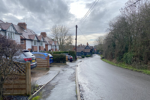
Pepper's Hill is a prominent hill located in the county of Warwickshire, England. Situated near the village of Barford, it forms part of the scenic landscape of the county. Rising to an elevation of approximately 97 meters (318 feet) above sea level, Pepper's Hill offers breathtaking panoramic views of the surrounding countryside.

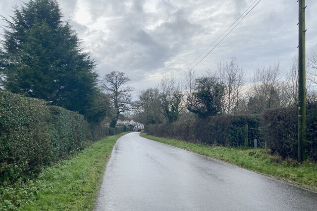
The hill is known for its distinctive shape, resembling a cone, with a gentle slope leading up to its summit. It is covered with lush green grass and scattered with a variety of wildflowers, creating a picturesque scene throughout the year. The area around the hill is predominantly agricultural, with fields of crops and grazing animals adding to its charm.

Pepper's Hill is a popular spot for outdoor enthusiasts, hikers, and nature lovers. It is a designated site of Special Scientific Interest (SSSI) due to its diverse flora and fauna. The hill is home to several species of birds, butterflies, and small mammals, providing ample opportunities for wildlife observation and photography.

Furthermore, the hill offers a range of recreational activities. Visitors can enjoy picnicking on its slopes, taking leisurely walks along the footpaths, or simply admiring the breathtaking views. Many visitors also use Pepper's Hill as a vantage point for capturing stunning photographs of the Warwickshire countryside.

Accessible by car or on foot, Pepper's Hill is a tranquil and picturesque destination that attracts both locals and tourists alike. Its natural beauty and peaceful atmosphere make it a must-visit location for those seeking a respite from the hustle and bustle of everyday life.

If you have any feedback on the listing, please let us know in the comments section below.

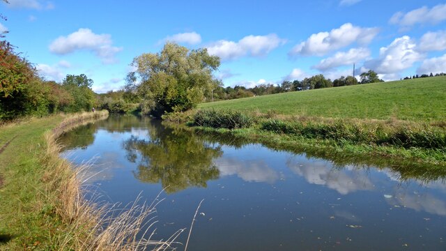
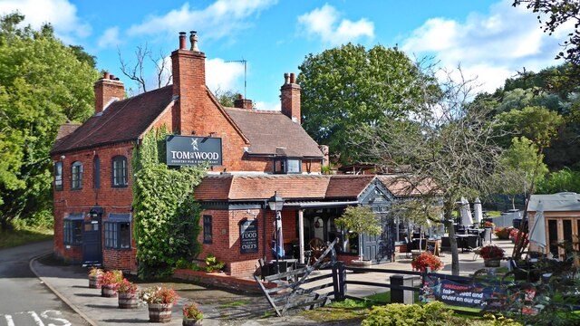
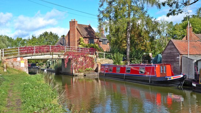
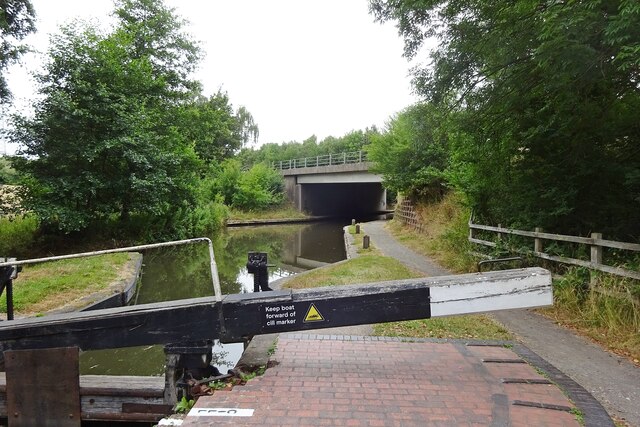
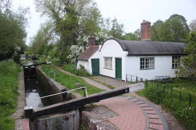
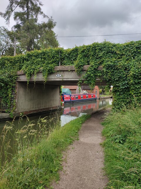
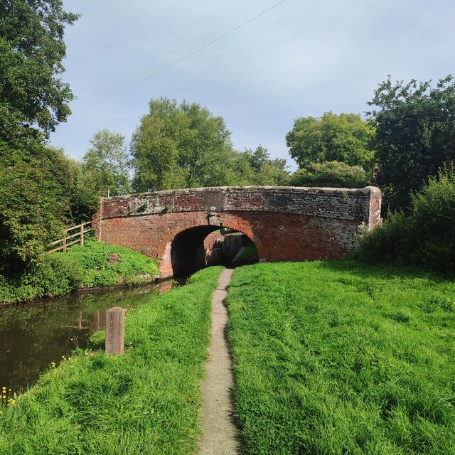
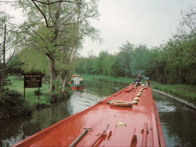
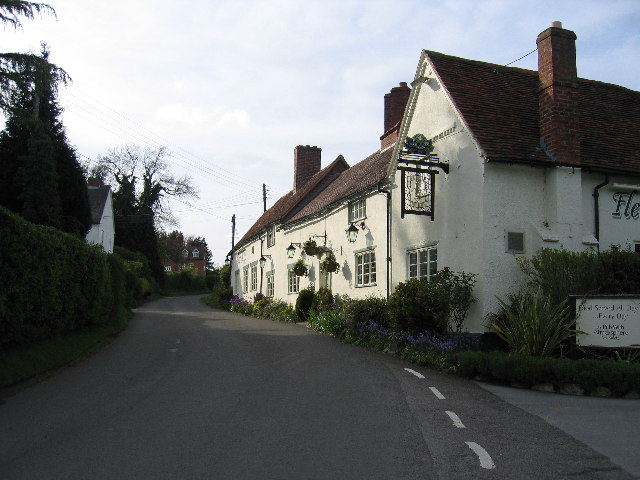
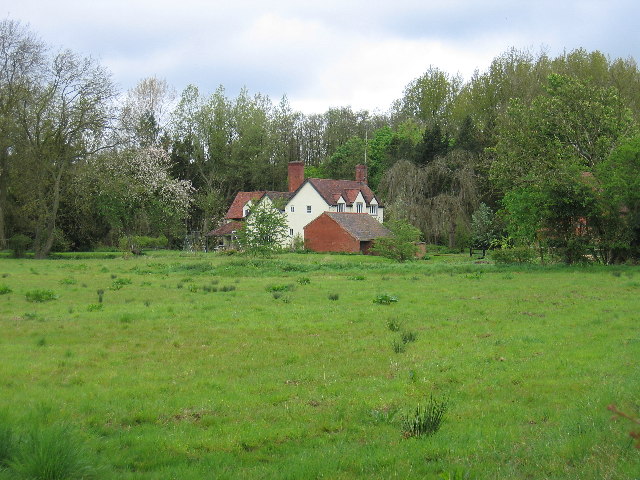
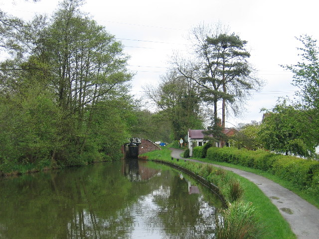
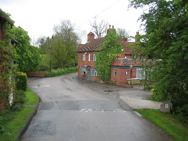
Pepper's Hill Images

Images are sourced within 2km of 52.323048/-1.7385305 or Grid Reference SP1769. Thanks to Geograph Open Source API. All images are credited.

Grand Union Canal near Turner's Green
Tom O'The Wood country pub and restaurant
Grand Union Canal at Turner's Green
Kingswood-Stratford Canal M40 Motorway Bridge.
Kingswood-Stratford Canal
M40 Motorway Bridge.
Approaching Turner's Green Finwood Road drops down into the canalside hamlet.
Approaching Turner's Green
Finwood Road drops down into the canalside hamlet.
Southwest on Finwod Road Finwood Road turns south from the Old Warwick Road for Turner's Green, ahead, and Lowsonford.
Southwest on Finwod Road
Finwood Road turns south from the Old Warwick Road for Turner's Green, ahead, and Lowsonford.
Gates to Windmill Cottage, Turner's Green An entrance on Finwood Road. Old maps show Windmill House here and a circular feature where a windmill  might have been. This is the same relatively high ground as the Rowington Mill site <a href="https://www.geograph.org.uk/photo/7378320">SP2070 : Rowington Mill, Rowington Green</a>.
Gates to Windmill Cottage, Turner's Green
An entrance on Finwood Road. Old maps show Windmill House here and a circular feature where a windmill might have been. This is the same relatively high ground as the Rowington Mill site SP2070 : Rowington Mill, Rowington Green.
Lock Keeper's Cottage, Lock 31, Stratford Upon Avon Canal. This is a relatively unaltered barrel roofed lock keeprs cottage located next to the bridge in Lowsonford where the road to Shrewley crosses the canal.
Lock Keeper's Cottage, Lock 31, Stratford Upon Avon Canal.
This is a relatively unaltered barrel roofed lock keeprs cottage located next to the bridge in Lowsonford where the road to Shrewley crosses the canal.
Lock Keeper's Cottage Lock 31 Stratford Upon Avon Canal Barrel roofed cottage located adjacent to the canal lock. Photo taken from the bridge where Narrow Lane crosses the canal.
Lock Keeper's Cottage Lock 31 Stratford Upon Avon Canal
Barrel roofed cottage located adjacent to the canal lock. Photo taken from the bridge where Narrow Lane crosses the canal.
Turner's Green Bridge
Lowsonford Bridge
Lowsonford Bridge
Lowsonford The Stratford-upon-Avon canal passing the gardens of the Fleur de lys public house in Lowsonford
Lowsonford
The Stratford-upon-Avon canal passing the gardens of the Fleur de lys public house in Lowsonford
Fleur de Lys, Lowsonford This canalside pub is now a popular dining out venue.  It was also the original home of the famed Fleur de Lys pies before their popularity and success resulted in their manufacture being moved to Emscote Mill in Warwick (see <a href="https://www.geograph.org.uk/photo/1210164">SP2965 : Site of Emscote Mill</a> ).
Fleur de Lys, Lowsonford
This canalside pub is now a popular dining out venue. It was also the original home of the famed Fleur de Lys pies before their popularity and success resulted in their manufacture being moved to Emscote Mill in Warwick (see SP2965 : Site of Emscote Mill ).
Bushwood Hall This moated building is seen from the adjacent fields
Bushwood Hall
This moated building is seen from the adjacent fields
Dick's Lane Bridge On the Southern Stratford upon Avon Canal with a lock just beyond and one of the characteristic barrel roofed lock keepers cottages in the trees
Dick's Lane Bridge
On the Southern Stratford upon Avon Canal with a lock just beyond and one of the characteristic barrel roofed lock keepers cottages in the trees
Turner's Green The Tom O'the Wood public house, taken from the bridge over the adjacent Grand Union Canal
Turner's Green
The Tom O'the Wood public house, taken from the bridge over the adjacent Grand Union Canal
Lowsonford lock The lock at Lowsonford on the Stratford-upon-Avon canal.  The distinctive shape of the roof on the former lock keeper's cottage is said to be due to it being built using the formers that were originally used to construct the brick arch bridges on the canal.
Lowsonford lock
The lock at Lowsonford on the Stratford-upon-Avon canal. The distinctive shape of the roof on the former lock keeper's cottage is said to be due to it being built using the formers that were originally used to construct the brick arch bridges on the canal.
Lowsonford The cottages and village pump at the junction with Mill Lane
Lowsonford
The cottages and village pump at the junction with Mill Lane
Show me another place!

Pepper's Hill is located at Grid Ref: SP1769 (Lat: 52.323048, Lng: -1.7385305)

Administrative County: Warwickshire

District: Warwick

Police Authority: Warwickshire

What 3 Words

///evolution.cuter.musician. Near Hockley Heath, West Midlands

Related Wikis

Bushwood

Bushwood is a hamlet in Warwickshire, located three miles north of Henley in Arden and a mile west of the M40 motorway. There is no village centre as such...

Kingswood Junction

Kingswood Junction (grid reference SP185709) is a canal junction where the Stratford-upon-Avon Canal meets the Grand Union Canal at Kingswood, Warwickshire...

Lowsonford

Lowsonford is a small village within the parish of Rowington in Warwickshire, England. The village lies 4 miles (6.4 km) north-east of Henley-in-Arden...

Kingswood, Warwickshire

Kingswood is an area in the civil parishes of Lapworth and Rowington in Warwick District, Warwickshire, England. It forms the main residential area of...

Lapworth railway station

Lapworth railway station serves the village of Kingswood, Warwickshire, near the village of Lapworth from which it takes its name. It has two platforms...

Lapworth

Lapworth is a village and civil parish in Warwickshire, England, which had a population of 2,100 according to the 2001 census; this had fallen to 1,828...

Rowington

Rowington is a village and civil parish in the English county of Warwickshire. It is five miles north-west of the town of Warwick and five miles south...

Baddesley Clinton

Baddesley Clinton (grid reference SP199714) is a moated manor house, about 8 miles (13 km) north-west of the town of Warwick, in the village of Baddesley...

Nearby Amenities

Located within 500m of 52.323048,-1.7385305
Power: tower
Source: bing
Lat/Long: 52.3235007/-1.733722
Power: tower
Source: bing
Lat/Long: 52.3215626/-1.7362331
Fire Hydrant
Emergency: fire_hydrant
Fire Hydrant Type: underground
Source: survey
Lat/Long: 52.3217241/-1.7353708
Barrier: stile
Source: survey
Lat/Long: 52.3199552/-1.7351614
Barrier: kissing_gate
Source: survey
Lat/Long: 52.3217363/-1.7350325
Generator Method: photovoltaic
Generator Output Electricity: yes
Generator Source: solar
Generator Type: solar_photovoltaic_panel
Location: roof
Power: generator
Lat/Long: 52.3201452/-1.7345363
Power: pole
Ref: 720133
Source: wpd_open_data
Transformer: distribution
Lat/Long: 52.3208272/-1.7433044
The data included in this document is from www.openstreetmap.org. The data is made available under ODbL.

Have you been to Pepper's Hill?

Leave your review of Pepper's Hill below (or comments, questions and feedback).