Bale Hill Rush

Hill, Mountain in Yorkshire Harrogate

England

Bale Hill Rush

Glasshouses Mill Former large flax mill located beside the River Nidd.
Much has changed since my last visit, where there was an air of dilapidation about the place. The buildings have seen  major sympathetic renovation, and conversion into apartments and living accommodation.
Grade II Listed.
<a href="https://www.geograph.org.uk/photo/289857">SE1764 : The Mill, Glasshouses</a>
Glasshouses Mill Credit: Chris Heaton

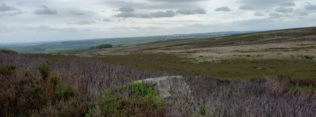
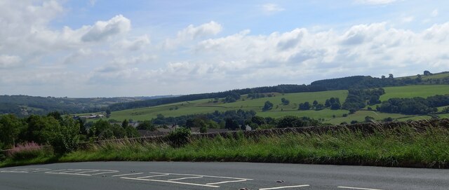
Bale Hill Rush is a prominent hill located in Yorkshire, England. Rising to an elevation of 334 meters (1,096 feet), it is renowned for offering breathtaking views of the surrounding landscape. The hill is situated within the North York Moors National Park, which is known for its picturesque scenery and diverse wildlife.

Bale Hill Rush is a popular destination for outdoor enthusiasts, hikers, and nature lovers. Its distinctive cone-shaped summit presents a challenging yet rewarding climb, attracting both experienced mountaineers and casual walkers. The hill is covered in heather and grass, adding to its natural beauty.

On clear days, visitors can enjoy panoramic vistas that stretch for miles in all directions. To the north, the hill offers sweeping views over the North Sea, while to the south, the rugged beauty of the North York Moors unfolds. The summit also provides a vantage point to admire nearby landmarks such as Roseberry Topping and the Cleveland Hills.

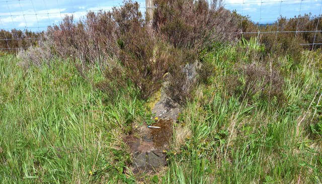
The hill is easily accessible, with several footpaths leading to its summit. These trails cater to various levels of difficulty, making it suitable for individuals of all ages and fitness levels. Along the way, walkers may encounter an array of wildlife, including birds, rabbits, and occasionally deer.

Overall, Bale Hill Rush is a must-visit destination for those seeking adventure, tranquility, and stunning natural beauty. Its captivating vistas and unique terrain make it an ideal spot for outdoor exploration and a memorable experience in the heart of Yorkshire.

If you have any feedback on the listing, please let us know in the comments section below.

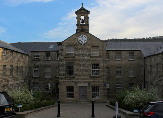
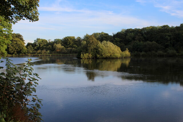
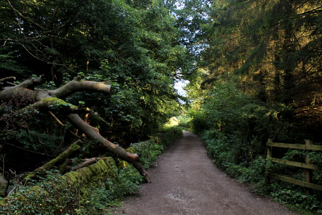
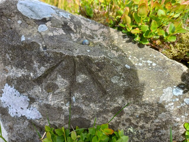
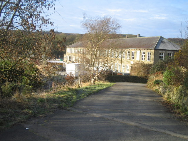
Bale Hill Rush Images

Images are sourced within 2km of 54.06786/-1.7283155 or Grid Reference SE1763. Thanks to Geograph Open Source API. All images are credited.

Glasshouses Mill Former large flax mill located beside the River Nidd.
Much has changed since my last visit, where there was an air of dilapidation about the place. The buildings have seen  major sympathetic renovation, and conversion into apartments and living accommodation.
Grade II Listed.
<a href="https://www.geograph.org.uk/photo/289857">SE1764 : The Mill, Glasshouses</a>
Glasshouses Mill
Former large flax mill located beside the River Nidd. Much has changed since my last visit, where there was an air of dilapidation about the place. The buildings have seen major sympathetic renovation, and conversion into apartments and living accommodation. Grade II Listed. SE1764 : The Mill, Glasshouses
Glasshouses Mill Dam Created out of the River Nidd in the 1850's, to supply water to the Glasshouses Flax Mill - just downstream from here.
The mill has now been converted into living accommodation, while the artificial lake is the preserve of water fowl and the odd angler.
Glasshouses Mill Dam
Created out of the River Nidd in the 1850's, to supply water to the Glasshouses Flax Mill - just downstream from here. The mill has now been converted into living accommodation, while the artificial lake is the preserve of water fowl and the odd angler.
Footpath heading towards Glasshouses Follows the River Nidd from Pateley Bridge - at this point sandwiched between a redundant mill race and a fish farm.
Footpath heading towards Glasshouses
Follows the River Nidd from Pateley Bridge - at this point sandwiched between a redundant mill race and a fish farm.
Old milepost This milepost, one of several still by the roadside on roads radiating out of Ripon, was cast at the foundry of J Ingram in Ripon.  In 2005 it was found by a Milestone Society member under a pile of grit salt.   It was dug up, set further back nearer the wall and repainted.  The Ripon and Pateley Bridge turnpike was first enacted in 1756 and lasted until the third quarter of the 19C so these posts may have been set up from the middle of the 19C.
Old milepost
This milepost, one of several still by the roadside on roads radiating out of Ripon, was cast at the foundry of J Ingram in Ripon. In 2005 it was found by a Milestone Society member under a pile of grit salt. It was dug up, set further back nearer the wall and repainted. The Ripon and Pateley Bridge turnpike was first enacted in 1756 and lasted until the third quarter of the 19C so these posts may have been set up from the middle of the 19C.
Road near the Broadbent Hall and former Church in Glasshouses Looking south-westward.
Road near the Broadbent Hall and former Church in Glasshouses
Looking south-westward.
Ordnance Survey Cut Mark This mark can be found on the wall of a former Methodist Church in Glasshouses.
The recorded details give a height of 139.0894 metres above sea level.
For more detail see : <span class="nowrap"><a title="https://www.bench-marks.org.uk/bm171815" rel="nofollow ugc noopener" href="https://www.bench-marks.org.uk/bm171815">Link</a><img style="margin-left:2px;" alt="External link" title="External link - shift click to open in new window" src="https://s1.geograph.org.uk/img/external.png" width="10" height="10"/></span>
Ordnance Survey Cut Mark
This mark can be found on the wall of a former Methodist Church in Glasshouses. The recorded details give a height of 139.0894 metres above sea level. For more detail see : LinkExternal link
Heyshaw, High Crag The pivot benchmark is cut into a boulder to the south of the footpath which takes you to the trig point at High Crag and Guise Cliff.
Heyshaw, High Crag
The pivot benchmark is cut into a boulder to the south of the footpath which takes you to the trig point at High Crag and Guise Cliff.
Heyshaw, High Crag There is a pivot benchmark cut into the boulder to the south of the footpath which takes you to the trig point at High Crag and Guise Cliff. In the distance there are the "golf balls" at Menwith Hill and the wind turbines at Knabs Ridge.
Heyshaw, High Crag
There is a pivot benchmark cut into the boulder to the south of the footpath which takes you to the trig point at High Crag and Guise Cliff. In the distance there are the "golf balls" at Menwith Hill and the wind turbines at Knabs Ridge.
Bewerley, Nought Bank Road The gatepost has a benchmark cut into a face, and is on the west side of the road.
Bewerley, Nought Bank Road
The gatepost has a benchmark cut into a face, and is on the west side of the road.
Bewerley, Nought Bank Road The left hand gatepost in the right hand field entrance has a benchmark cut into a face, and is on the west side of the road.
Bewerley, Nought Bank Road
The left hand gatepost in the right hand field entrance has a benchmark cut into a face, and is on the west side of the road.
Heyshaw, Nought Moor Road The rivet benchmark is cut into a roadside boulder on the east side of the moor road, and alongside the tarmac, not within the enclosed moor.
Heyshaw, Nought Moor Road
The rivet benchmark is cut into a roadside boulder on the east side of the moor road, and alongside the tarmac, not within the enclosed moor.
Heyshaw, Nought Moor Road There is a rivet benchmark cut into the roadside boulder, which is on the east side of the moor road, and alongside the tarmac, not within the enclosed moor.
Heyshaw, Nought Moor Road
There is a rivet benchmark cut into the roadside boulder, which is on the east side of the moor road, and alongside the tarmac, not within the enclosed moor.
Heyshaw Moor The rivet benchmark is cut into a boulder on the east side of the road, on the enclosed moor.
Heyshaw Moor
The rivet benchmark is cut into a boulder on the east side of the road, on the enclosed moor.
Heyshaw Moor There is a rivet benchmark cut into the boulder which is on the east side of the road, of the enclosed Heyshaw Moor.
Heyshaw Moor
There is a rivet benchmark cut into the boulder which is on the east side of the road, of the enclosed Heyshaw Moor.
Glasshouses, Lupton Bank According to the OS benchmark database there is a benchmark cut into the roadside wall on the south side of the road. Brambles and dense undergrowth along the verge prevented any search.
Glasshouses, Lupton Bank
According to the OS benchmark database there is a benchmark cut into the roadside wall on the south side of the road. Brambles and dense undergrowth along the verge prevented any search.
Glasshouses, Lupton Bank The benchmark is cut into the roadside wall on the south side of B6165, and it is cut directly at the wall junction of 2 fields.
Glasshouses, Lupton Bank
The benchmark is cut into the roadside wall on the south side of B6165, and it is cut directly at the wall junction of 2 fields.
Glasshouses, Lupton Bank There is a benchmark cut into the roadside wall on the south side of B6165, and it is cut directly at the wall junction of 2 fields.
Glasshouses, Lupton Bank
There is a benchmark cut into the roadside wall on the south side of B6165, and it is cut directly at the wall junction of 2 fields.
Glasshouses, Padley Fold According to the OS benchmark database there was a benchmark cut into the north facing wall, 5 metres from the right corner. Recently the building has been updated and possibly extended and nothing was found.
Glasshouses, Padley Fold
According to the OS benchmark database there was a benchmark cut into the north facing wall, 5 metres from the right corner. Recently the building has been updated and possibly extended and nothing was found.
Show me another place!

Bale Hill Rush is located at Grid Ref: SE1763 (Lat: 54.06786, Lng: -1.7283155)

Division: West Riding

Administrative County: North Yorkshire

District: Harrogate

Police Authority: North Yorkshire

What 3 Words

///kickers.absorbs.blanking. Near Pateley Bridge, North Yorkshire

Related Wikis

Glasshouses, North Yorkshire

Glasshouses is a small village in Nidderdale, North Yorkshire, England. It lies 1 mile (1.6 km) south-east of Pateley Bridge on the east side of Nidderdale...
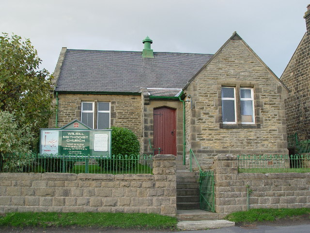
Wilsill

Wilsill is a village in Nidderdale in the Harrogate district of North Yorkshire, England. It is about 2 miles (3 km) east of Pateley Bridge on the B6165...

Smelthouses

Smelthouses is a hamlet in Nidderdale in North Yorkshire, England. It lies about 2.3 miles (4 km) south-east of Pateley Bridge, on either side of Fell...

New York, North Yorkshire

New York is a settlement in Nidderdale in the Harrogate district of North Yorkshire, England. It is on the River Nidd, near Summerbridge, and about 2...

Summerbridge, North Yorkshire

Summerbridge is a village in Nidderdale in Harrogate district, North Yorkshire, England. It is on the River Nidd, adjacent to Dacre Banks on the opposite...

Dacre railway station

Dacre railway station served the villages of Dacre and Summerbridge, North Yorkshire, England from 1862 to 1951 on the Nidd Valley Railway. == History... ==

Bewerley

Bewerley is a village and civil parish in the Harrogate district of North Yorkshire, England, about twelve miles west of Ripon. The parish includes the...

Pateley Bridge railway station

Pateley Bridge railway station is a disused railway station in North Yorkshire, England. The station was the terminating station on the North Eastern Railway...

Nearby Amenities

Located within 500m of 54.06786,-1.7283155
Barrier: stile
Lat/Long: 54.0716568/-1.7290512
Barrier: stile
Lat/Long: 54.0716114/-1.7279308
The data included in this document is from www.openstreetmap.org. The data is made available under ODbL.

Have you been to Bale Hill Rush?

Leave your review of Bale Hill Rush below (or comments, questions and feedback).