Bark Cabin Wood

Wood, Forest in Yorkshire Harrogate

England

Bark Cabin Wood

Glasshouses Mill Former large flax mill located beside the River Nidd.
Much has changed since my last visit, where there was an air of dilapidation about the place. The buildings have seen  major sympathetic renovation, and conversion into apartments and living accommodation.
Grade II Listed.
<a href="https://www.geograph.org.uk/photo/289857">SE1764 : The Mill, Glasshouses</a>
Glasshouses Mill Credit: Chris Heaton

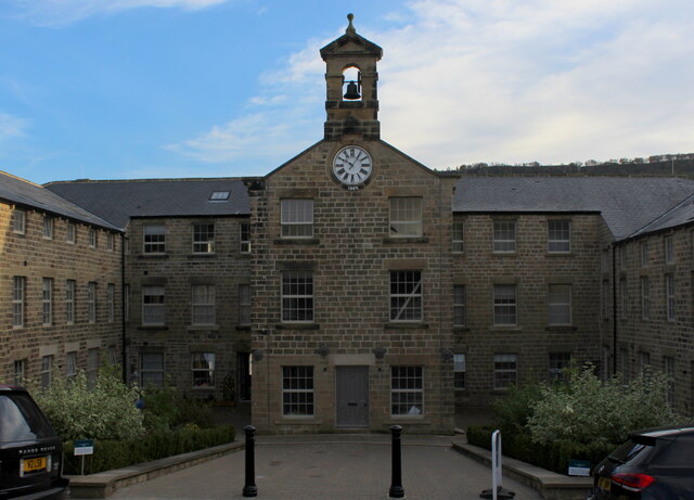
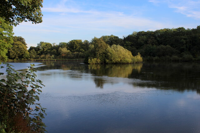
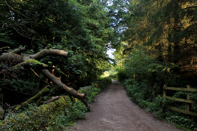
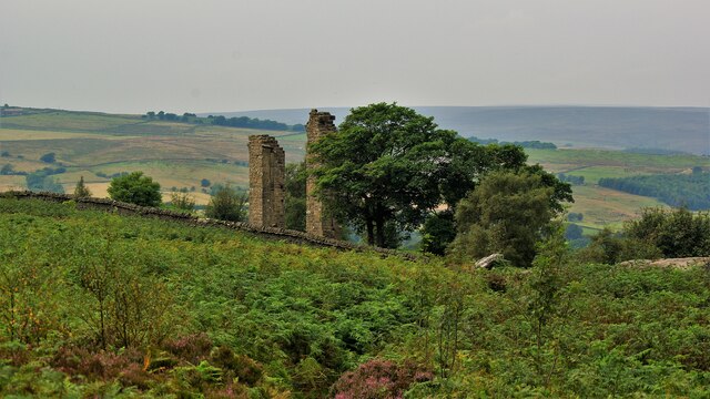
Bark Cabin Wood, located in Yorkshire, England, is a picturesque woodland area encompassing approximately 100 acres. Situated within the boundaries of the larger Yorkshire Dales National Park, this forested region boasts breathtaking natural beauty and diverse ecosystems.

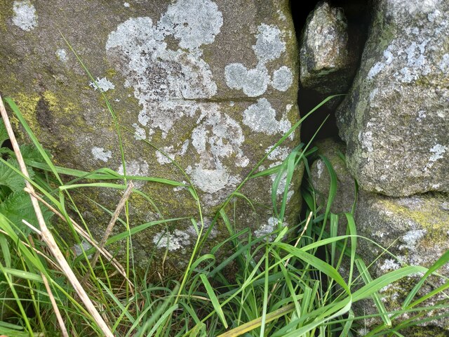
The wood is primarily composed of broadleaf trees, including oak, birch, and beech, which create a dense canopy overhead, providing shade and shelter for a variety of wildlife species. The forest floor is carpeted with a rich assortment of ferns, mosses, and wildflowers, creating an enchanting and vibrant undergrowth.

Bark Cabin Wood is a haven for nature enthusiasts, offering numerous walking trails that wind through its lush greenery. Visitors can explore the wood's meandering pathways, taking in the tranquility and serenity of the surroundings. The forest's captivating ambiance and peaceful atmosphere make it an ideal escape from the hustle and bustle of everyday life.

The wood is also home to a diverse range of wildlife, including deer, foxes, badgers, and a plethora of bird species. Birdwatchers can delight in the opportunity to spot rare and migratory birds, such as the red kite and woodpeckers.

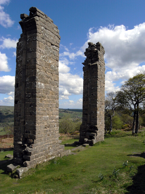
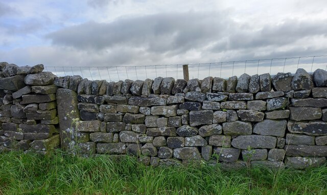
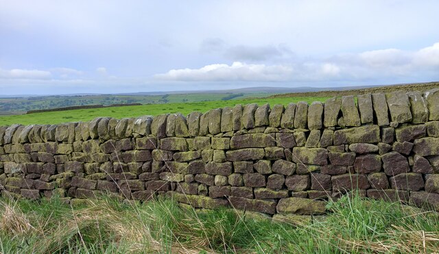
In addition to its natural beauty, Bark Cabin Wood holds historical significance. The remains of ancient settlements and burial mounds can be found scattered throughout the woodland, providing insights into the area's rich past.

Overall, Bark Cabin Wood offers a truly captivating and immersive experience for nature lovers, history enthusiasts, and anyone seeking solace in the tranquility of the great outdoors.

If you have any feedback on the listing, please let us know in the comments section below.

Bark Cabin Wood Images

Images are sourced within 2km of 54.066761/-1.7391866 or Grid Reference SE1763. Thanks to Geograph Open Source API. All images are credited.

Glasshouses Mill Former large flax mill located beside the River Nidd.
Much has changed since my last visit, where there was an air of dilapidation about the place. The buildings have seen  major sympathetic renovation, and conversion into apartments and living accommodation.
Grade II Listed.
<a href="https://www.geograph.org.uk/photo/289857">SE1764 : The Mill, Glasshouses</a>
Glasshouses Mill
Former large flax mill located beside the River Nidd. Much has changed since my last visit, where there was an air of dilapidation about the place. The buildings have seen major sympathetic renovation, and conversion into apartments and living accommodation. Grade II Listed. SE1764 : The Mill, Glasshouses
Glasshouses Mill Dam Created out of the River Nidd in the 1850's, to supply water to the Glasshouses Flax Mill - just downstream from here.
The mill has now been converted into living accommodation, while the artificial lake is the preserve of water fowl and the odd angler.
Glasshouses Mill Dam
Created out of the River Nidd in the 1850's, to supply water to the Glasshouses Flax Mill - just downstream from here. The mill has now been converted into living accommodation, while the artificial lake is the preserve of water fowl and the odd angler.
Footpath heading towards Glasshouses Follows the River Nidd from Pateley Bridge - at this point sandwiched between a redundant mill race and a fish farm.
Footpath heading towards Glasshouses
Follows the River Nidd from Pateley Bridge - at this point sandwiched between a redundant mill race and a fish farm.
Yorke's Folly
Yorke's Folly
Old milepost This milepost, one of several still by the roadside on roads radiating out of Ripon, was cast at the foundry of J Ingram in Ripon.  In 2005 it was found by a Milestone Society member under a pile of grit salt.   It was dug up, set further back nearer the wall and repainted.  The Ripon and Pateley Bridge turnpike was first enacted in 1756 and lasted until the third quarter of the 19C so these posts may have been set up from the middle of the 19C.
Old milepost
This milepost, one of several still by the roadside on roads radiating out of Ripon, was cast at the foundry of J Ingram in Ripon. In 2005 it was found by a Milestone Society member under a pile of grit salt. It was dug up, set further back nearer the wall and repainted. The Ripon and Pateley Bridge turnpike was first enacted in 1756 and lasted until the third quarter of the 19C so these posts may have been set up from the middle of the 19C.
Yorke's Folly A Georgian eye-catcher on Guyscliffe (Guise Cliff) for Mr Yorke from his home in Bewerley
Yorke's Folly
A Georgian eye-catcher on Guyscliffe (Guise Cliff) for Mr Yorke from his home in Bewerley
Bewerley, Bridgehouse Gate wall The benchmark is cut into the roadside wall on the north side of the lane.
Bewerley, Bridgehouse Gate wall
The benchmark is cut into the roadside wall on the north side of the lane.
Bewerley, Bridgehouse  Gate There is a benchmark cut into the roadside wall on the north side of the lane.
Bewerley, Bridgehouse Gate
There is a benchmark cut into the roadside wall on the north side of the lane.
Bewerley, Peat Lane gatepost The benchmark is cut into a gatepost to the property Croft Cottage on the south side of the lane.
Bewerley, Peat Lane gatepost
The benchmark is cut into a gatepost to the property Croft Cottage on the south side of the lane.
Bewerley, Croft Cottage There is a benchmark cut into the left hand stone gatepost to the property Croft Cottage which is on the south side of Peat Lane.
Bewerley, Croft Cottage
There is a benchmark cut into the left hand stone gatepost to the property Croft Cottage which is on the south side of Peat Lane.
Bewerley, Peat Lane The benchmark is cut into a boulder on the north side of the lane.
Bewerley, Peat Lane
The benchmark is cut into a boulder on the north side of the lane.
Bewerley, Peat Lane The small boulder which can be seen at the edge of the left hand side of the road, just in the shadows, has a benchmark cut into its surface.
Bewerley, Peat Lane
The small boulder which can be seen at the edge of the left hand side of the road, just in the shadows, has a benchmark cut into its surface.
Fence enclosed minor road at Bewerley Looking eastward to the entrances of Bewerley School of Horsemanship and Bewerley Park Centre for Outdoor Education.
Fence enclosed minor road at Bewerley
Looking eastward to the entrances of Bewerley School of Horsemanship and Bewerley Park Centre for Outdoor Education.
Road near the Broadbent Hall and former Church in Glasshouses Looking south-westward.
Road near the Broadbent Hall and former Church in Glasshouses
Looking south-westward.
Ordnance Survey Cut Mark This mark can be found on the wall of a former Methodist Church in Glasshouses.
The recorded details give a height of 139.0894 metres above sea level.
For more detail see : <span class="nowrap"><a title="https://www.bench-marks.org.uk/bm171815" rel="nofollow ugc noopener" href="https://www.bench-marks.org.uk/bm171815">Link</a><img style="margin-left:2px;" alt="External link" title="External link - shift click to open in new window" src="https://s1.geograph.org.uk/img/external.png" width="10" height="10"/></span>
Ordnance Survey Cut Mark
This mark can be found on the wall of a former Methodist Church in Glasshouses. The recorded details give a height of 139.0894 metres above sea level. For more detail see : LinkExternal link
Heyshaw, Dike Lane The benchmark is cut into one remaining gatepost on the east of Dike Lane. The field entrance has been filled with a drystone wall.
Heyshaw, Dike Lane
The benchmark is cut into one remaining gatepost on the east of Dike Lane. The field entrance has been filled with a drystone wall.
Heyshaw, Dike Lane There is a benchmark cut into the one remaining gatepost on the east of Dike Lane. The field entrance has been filled with a drystone wall.
Heyshaw, Dike Lane
There is a benchmark cut into the one remaining gatepost on the east of Dike Lane. The field entrance has been filled with a drystone wall.
Heyshaw, Dike Lane According to the OS benchmark database there is a benchmark on this stretch of drystone wall on the west side of Dike Lane. Nothing was found and the wall looked rebuilt, and the mark may have been destroyed.
Heyshaw, Dike Lane
According to the OS benchmark database there is a benchmark on this stretch of drystone wall on the west side of Dike Lane. Nothing was found and the wall looked rebuilt, and the mark may have been destroyed.
Show me another place!

Bark Cabin Wood is located at Grid Ref: SE1763 (Lat: 54.066761, Lng: -1.7391866)

Division: West Riding

Administrative County: North Yorkshire

District: Harrogate

Police Authority: North Yorkshire

What 3 Words

///impulse.weeded.caressing. Near Pateley Bridge, North Yorkshire

Related Wikis

Glasshouses, North Yorkshire

Glasshouses is a small village in Nidderdale, North Yorkshire, England. It lies 1 mile (1.6 km) south-east of Pateley Bridge on the east side of Nidderdale...
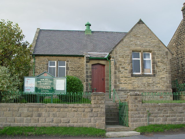
Wilsill

Wilsill is a village in Nidderdale in the Harrogate district of North Yorkshire, England. It is about 2 miles (3 km) east of Pateley Bridge on the B6165...

Bewerley

Bewerley is a village and civil parish in the Harrogate district of North Yorkshire, England, about twelve miles west of Ripon. The parish includes the...

Smelthouses

Smelthouses is a hamlet in Nidderdale in North Yorkshire, England. It lies about 2.3 miles (4 km) south-east of Pateley Bridge, on either side of Fell...

Pateley Bridge railway station

Pateley Bridge railway station is a disused railway station in North Yorkshire, England. The station was the terminating station on the North Eastern Railway...

Nidderdale AONB

The Nidderdale AONB is an Area of Outstanding Natural Beauty in North Yorkshire, England, bordering the Yorkshire Dales National Park to the east and south...

Nidderdale

Nidderdale, historically also known as Netherdale, is one of the Yorkshire Dales (although outside the Yorkshire Dales National Park) in North Yorkshire...

New York, North Yorkshire

New York is a settlement in Nidderdale in the Harrogate district of North Yorkshire, England. It is on the River Nidd, near Summerbridge, and about 2...

Nearby Amenities

Located within 500m of 54.066761,-1.7391866
Hollin House Mill
Description: "Corn & Bobbins" mill. Source: OS 1849-50 survey
Historic: archaeological_site
Source: OS 1854 sheet 135
Lat/Long: 54.0707504/-1.7405748
Barrier: stile
Lat/Long: 54.0709862/-1.7396876
Barrier: stile
Lat/Long: 54.0709842/-1.7405841
The data included in this document is from www.openstreetmap.org. The data is made available under ODbL.

Have you been to Bark Cabin Wood?

Leave your review of Bark Cabin Wood below (or comments, questions and feedback).