Copston Magna
Settlement in Warwickshire Rugby
England
Copston Magna

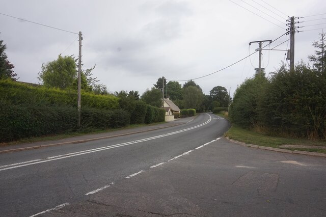
Copston Magna is a small village located in the county of Warwickshire, England. Situated approximately 14 kilometers east of Coventry, it is nestled amidst the picturesque countryside of the West Midlands region. The village is part of the Rugby borough and falls within the civil parish of Wolvey.
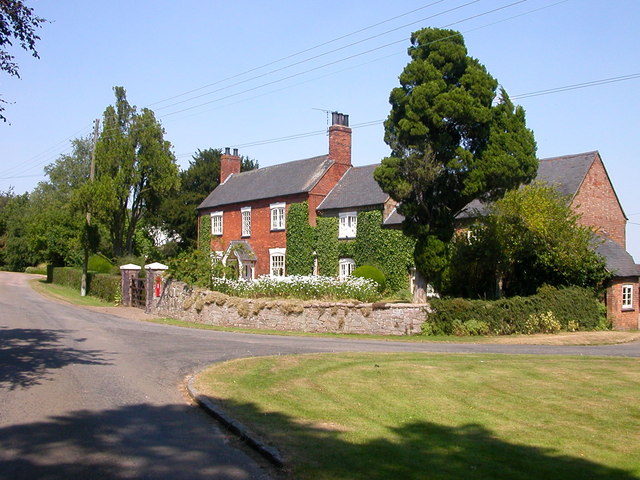
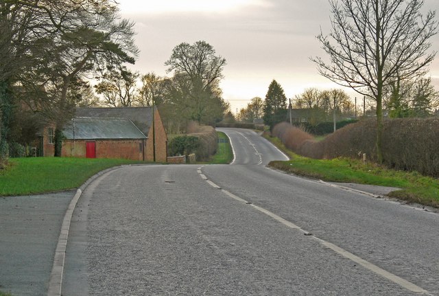
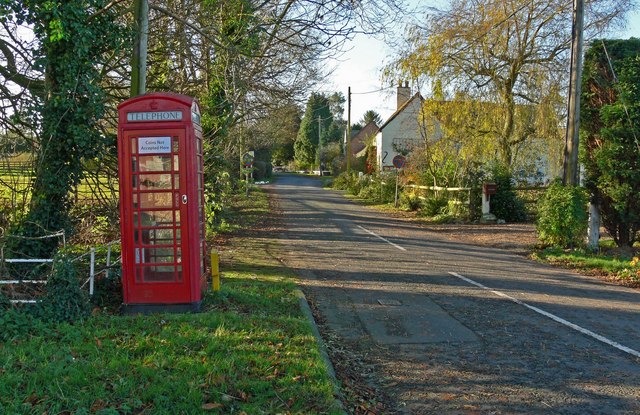
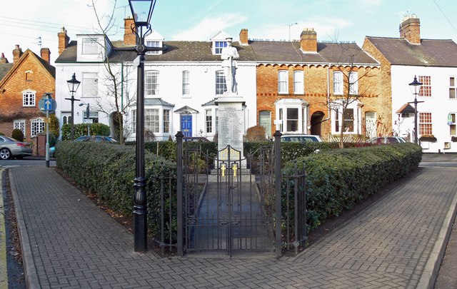
With a population of around 300 residents, Copston Magna boasts a tranquil and tight-knit community atmosphere. The village is characterized by its charming rural setting, surrounded by rolling green fields and farmland. The landscape is dotted with traditional stone cottages, some of which date back to the 17th century, adding to the area's historic appeal.
One of the notable landmarks in Copston Magna is the St. John the Baptist Church, a medieval place of worship that has served as a spiritual center for the village for centuries. The church features stunning architectural details, such as a spire and stained glass windows.
Despite its small size, Copston Magna benefits from its proximity to nearby towns and cities. The village enjoys easy access to major transportation routes, including the A5 and M6 motorway, providing convenient connections to Coventry, Birmingham, and beyond.
The surrounding countryside offers ample opportunities for outdoor activities, including walking, cycling, and horse riding. The nearby Draycote Water, a reservoir and country park, attracts visitors with its sailing facilities, fishing spots, and nature trails.
In summary, Copston Magna is a quintessential English village, offering a peaceful and idyllic rural lifestyle while still benefiting from its proximity to larger urban areas.
If you have any feedback on the listing, please let us know in the comments section below.
Copston Magna Images
Images are sourced within 2km of 52.491916/-1.334565 or Grid Reference SP4588. Thanks to Geograph Open Source API. All images are credited.


Copston Magna is located at Grid Ref: SP4588 (Lat: 52.491916, Lng: -1.334565)
Administrative County: Warwickshire
District: Rugby
Police Authority: Warwickshire
What 3 Words
///simmer.tiptoes.wider. Near Hinckley, Leicestershire
Nearby Locations
Related Wikis
Copston Magna
Copston Magna is a very small village and civil parish in the Rugby borough of Warwickshire, England. It is located around 9 miles (14 km) northwest of...
Wigston Parva
Wigston Parva is a hamlet and civil parish in the Blaby district of Leicestershire, England. The parish has a population of about 30. It is very near...

High Cross, Leicestershire
High Cross is the name given to the crossroads of the Roman roads of Watling Street and Fosse Way in Leicestershire, England. It is about a mile west of...

Wolvey
Wolvey is a village and parish in Warwickshire, England. According to the 2011 census it had a population of 1,942, which increased to 2,121 at the 2021...
Wibtoft
Wibtoft is a small village and civil parish in north-eastern Warwickshire, England. The village was originally within the civil parish of Claybrooke Magna...

Britannia Fields
The Britannia Fields are a public open space at grid reference SP440919 in Britannia Road, Burbage, Leicestershire. The Fields land was once part of the...
Claybrooke Magna
Claybrooke Magna is a village and civil parish in the Harborough district of Leicestershire, England, close to the A5 trunk road. The village is located...
Burbage, Leicestershire
Burbage is a large village in the Borough of Hinckley and Bosworth in Leicestershire, England. According to the United Kingdom Census 2001 the parish...
Nearby Amenities
Located within 500m of 52.491916,-1.334565Have you been to Copston Magna?
Leave your review of Copston Magna below (or comments, questions and feedback).