Allens Grove
Wood, Forest in Herefordshire
England
Allens Grove
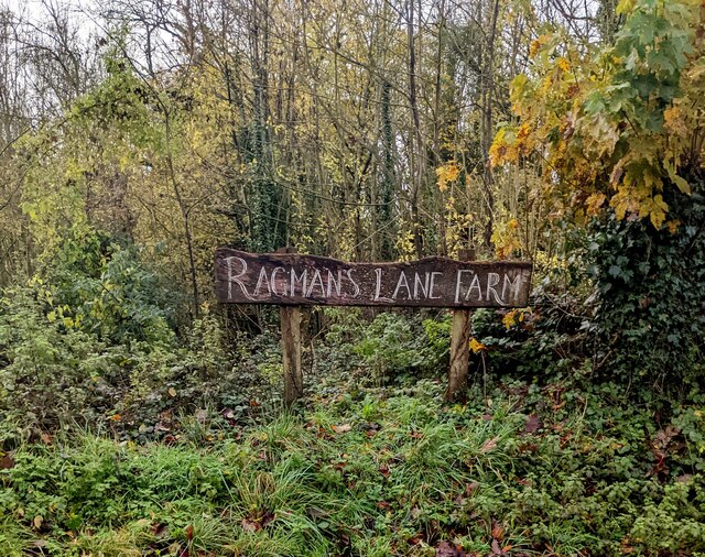
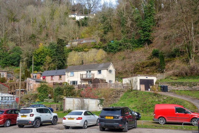
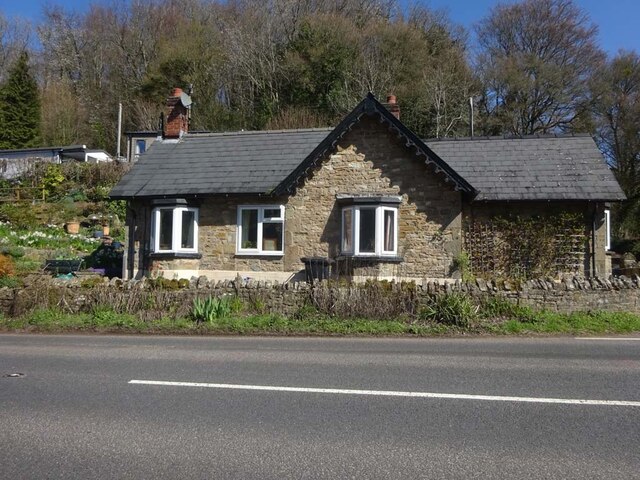
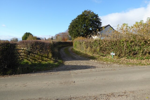
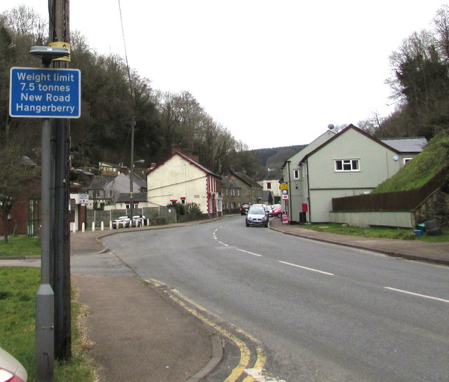
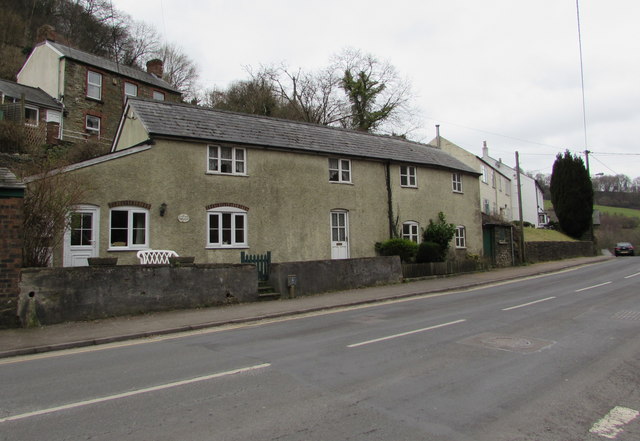
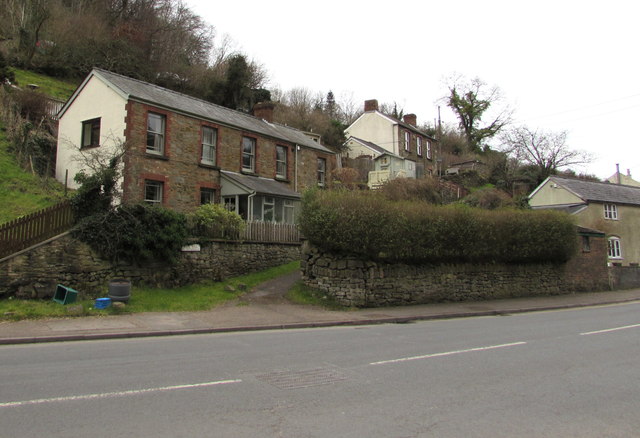
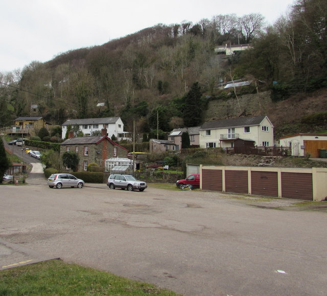
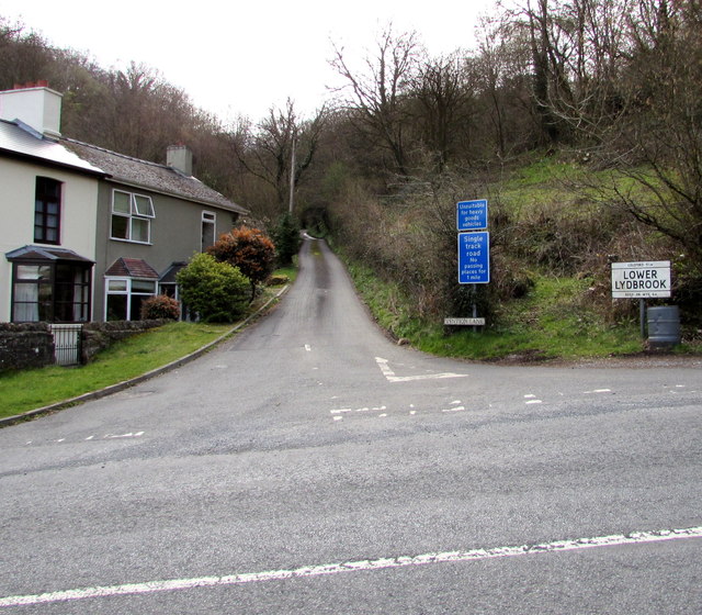
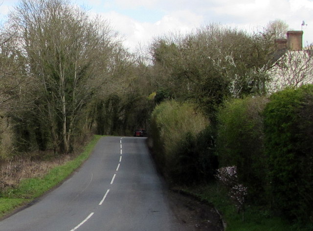
Allens Grove is a picturesque woodland area located in the county of Herefordshire, England. Nestled amidst the stunning landscape of the region, it is a popular destination for nature lovers and outdoor enthusiasts. The grove is situated in close proximity to the small village of Allensmore, adding to its charm and accessibility.
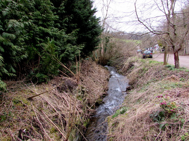
Covering an area of approximately 50 acres, Allens Grove is primarily characterized by its dense woodlands and verdant forests. The area boasts a diverse range of tree species, including oak, beech, and birch, creating a rich and vibrant ecosystem. The lush vegetation provides a habitat for various wildlife, such as deer, foxes, and birds, making it a haven for nature enthusiasts and photographers.
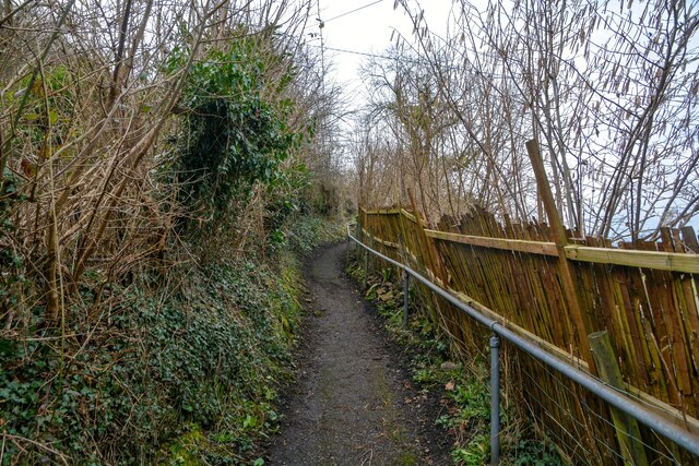
Visitors to Allens Grove can explore the area through a network of well-maintained walking trails, allowing them to immerse themselves in the natural beauty of the surroundings. The peaceful atmosphere and tranquil setting make it an ideal spot for leisurely strolls and picnics. For those seeking more adventure, there are opportunities for wildlife spotting and birdwatching, with the chance to encounter rare and elusive species.
Allens Grove is also a popular destination for those interested in woodland conservation and environmental education. Local organizations and groups often organize guided nature walks and educational workshops to promote awareness and appreciation for the natural environment.
Overall, Allens Grove in Herefordshire offers a serene and captivating experience for visitors, with its breathtaking woodlands, abundant wildlife, and opportunities for outdoor exploration and education.
If you have any feedback on the listing, please let us know in the comments section below.
Allens Grove Images
Images are sourced within 2km of 51.858204/-2.5901173 or Grid Reference SO5917. Thanks to Geograph Open Source API. All images are credited.
Allens Grove is located at Grid Ref: SO5917 (Lat: 51.858204, Lng: -2.5901173)
Unitary Authority: County of Herefordshire
Police Authority: West Mercia
What 3 Words
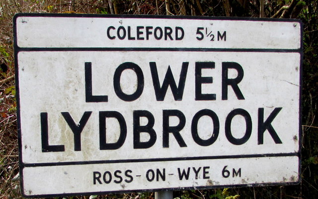
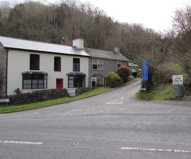
///reboot.grape.dunk. Near Lydbrook, Gloucestershire
Nearby Locations
Related Wikis
Welsh Bicknor
Welsh Bicknor (Welsh: Llangystennin Garth Brenni) is an area in the far south of the English county of Herefordshire. Despite its name, it is not now in...
Courtfield, Welsh Bicknor
Courtfield, Welsh Bicknor, Herefordshire, England is a country house dating from the early 19th century. The present building stands on the site of a much...

1942 Herefordshire TRE Halifax crash
V9977 was an Handley Page Halifax II that had been sent to the Telecommunications Research Establishment (TRE) at RAF Defford to be used as a flying testbed...
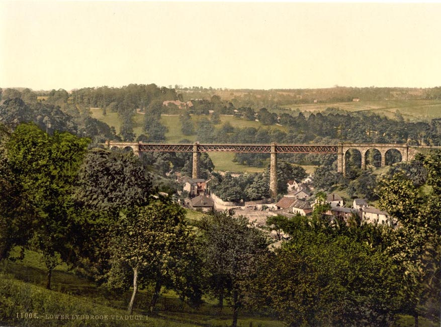
Lower Lydbrook Viaduct
The Lower Lydbrook Viaduct was an iron railway viaduct with stone piers, it was on the Severn and Wye Railway and situated in Lower Lydbrook, Gloucestershire...

Lydbrook Junction railway station
Lydbrook Junction railway station is a disused railway station in England opened by the Ross and Monmouth Railway in 1873, it remained open for 91 years...
Lower Lydbrook railway station
Lower Lydbrook railway station served the civil parish of Lydbrook, Gloucestershire, England, from 1875 to 1903 on the Severn and Wye Railway. == History... ==
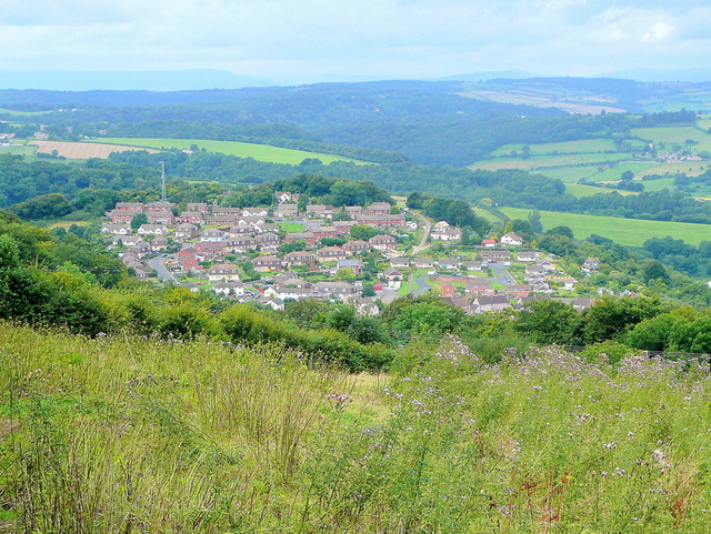
Joys Green, Gloucestershire
Joy's Green is a village in the Forest of Dean in West Gloucestershire, England. The village is in the civil parish of the neighbouring village of Lydbrook...
Kerne Bridge
Kerne Bridge is a hamlet in south Herefordshire, England, about 3.5 miles (6 km) south of the market town of Ross-on-Wye on the B4234 Ross-on-Wye to Coleford...
Nearby Amenities
Located within 500m of 51.858204,-2.5901173Have you been to Allens Grove?
Leave your review of Allens Grove below (or comments, questions and feedback).