Tumpshill Grove
Wood, Forest in Gloucestershire Forest of Dean
England
Tumpshill Grove

Tumpshill Grove is a picturesque wooded area situated in Gloucestershire, England. It is located in the Forest of Dean, a renowned woodland area known for its natural beauty and rich history. Tumpshill Grove is nestled within this lush forest, offering visitors a tranquil and serene setting to explore and enjoy.
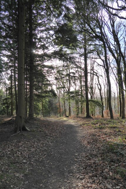
The grove is characterized by its dense canopy of towering trees, mostly consisting of oak, beech, and birch varieties. These majestic trees provide ample shade and create a cool and refreshing atmosphere, making it an ideal destination for nature lovers, hikers, and picnickers.
The forest floor of Tumpshill Grove is covered in a thick carpet of moss, ferns, and wildflowers, adding to its enchanting charm. The undergrowth is teeming with wildlife, including various bird species, squirrels, and occasionally even deer. This makes it a popular spot for birdwatching and wildlife enthusiasts.
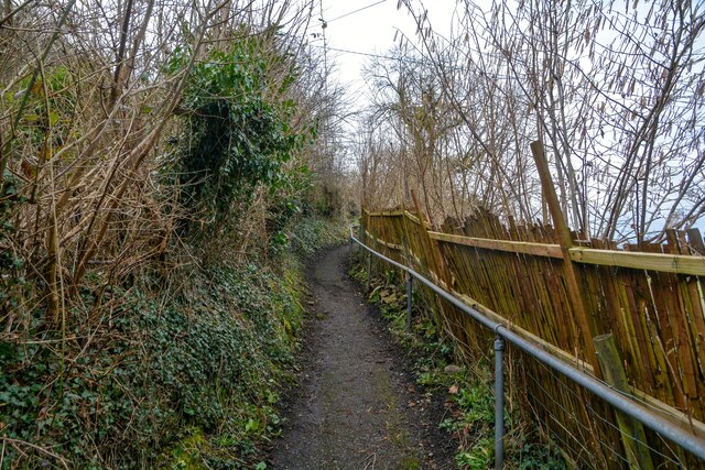
Tranquil streams and small brooks meander through Tumpshill Grove, adding to its natural allure. These water bodies provide a habitat for a variety of aquatic life, including fish, frogs, and newts. The soothing sounds of running water can be heard as visitors explore the grove's numerous walking trails and footpaths.
Tumpshill Grove is also steeped in history, with ancient ruins and archaeological sites scattered throughout the area. These remnants serve as a reminder of the grove's past and provide a glimpse into the lives of those who once inhabited this land.
Overall, Tumpshill Grove in Gloucestershire is a captivating destination that offers visitors an opportunity to immerse themselves in the beauty of nature while exploring its rich history.
If you have any feedback on the listing, please let us know in the comments section below.
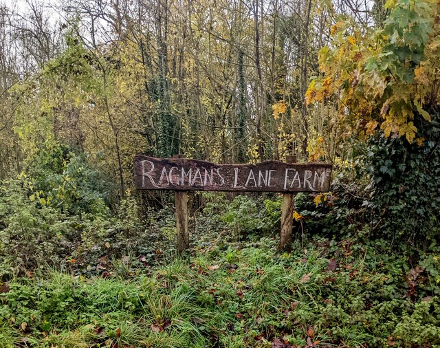
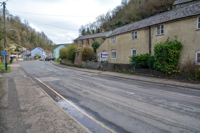
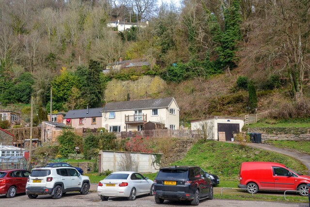
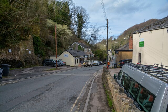
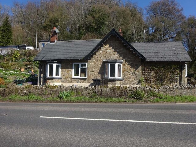
Tumpshill Grove Images
Images are sourced within 2km of 51.85114/-2.594874 or Grid Reference SO5917. Thanks to Geograph Open Source API. All images are credited.


Tumpshill Grove is located at Grid Ref: SO5917 (Lat: 51.85114, Lng: -2.594874)
Administrative County: Gloucestershire
District: Forest of Dean
Police Authority: Gloucestershire
What 3 Words
///coolest.energy.turntable. Near Lydbrook, Gloucestershire
Related Wikis
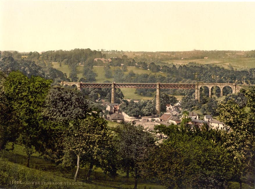
Lower Lydbrook Viaduct
The Lower Lydbrook Viaduct was an iron railway viaduct with stone piers, it was on the Severn and Wye Railway and situated in Lower Lydbrook, Gloucestershire...

1942 Herefordshire TRE Halifax crash
V9977 was an Handley Page Halifax II that had been sent to the Telecommunications Research Establishment (TRE) at RAF Defford to be used as a flying testbed...
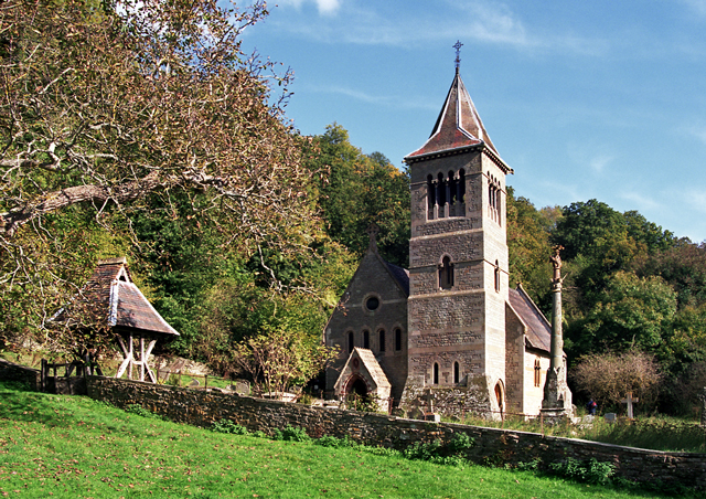
Welsh Bicknor
Welsh Bicknor (Welsh: Llangystennin Garth Brenni) is an area in the far south of the English county of Herefordshire. Despite its name, it is not now in...

Lydbrook Junction railway station
Lydbrook Junction railway station is a disused railway station in England opened by the Ross and Monmouth Railway in 1873, it remained open for 91 years...
Lower Lydbrook railway station
Lower Lydbrook railway station served the civil parish of Lydbrook, Gloucestershire, England, from 1875 to 1903 on the Severn and Wye Railway. == History... ==
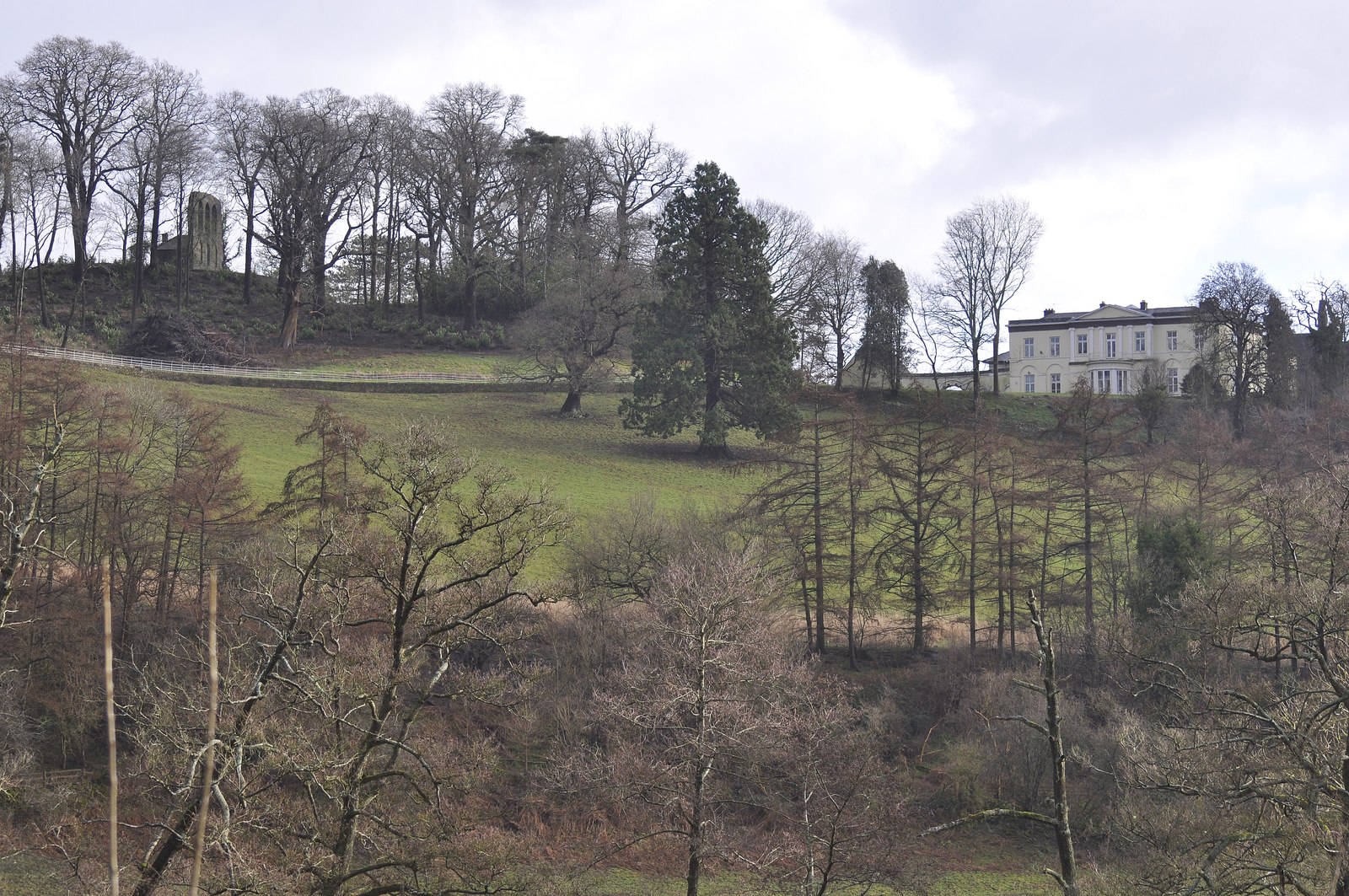
Courtfield, Welsh Bicknor
Courtfield, Welsh Bicknor, Herefordshire, England is a country house dating from the early 19th century. The present building stands on the site of a much...

Sarah Siddons' House
Sarah Siddons' House, also called the Old House, is a cottage in the village of Lydbrook, Gloucestershire, England. A Grade II* listed building, the cottage...
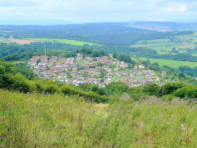
Joys Green, Gloucestershire
Joy's Green is a village in the Forest of Dean in West Gloucestershire, England. The village is in the civil parish of the neighbouring village of Lydbrook...
Nearby Amenities
Located within 500m of 51.85114,-2.594874Have you been to Tumpshill Grove?
Leave your review of Tumpshill Grove below (or comments, questions and feedback).