Welsh Bicknor
Settlement in Herefordshire
England
Welsh Bicknor
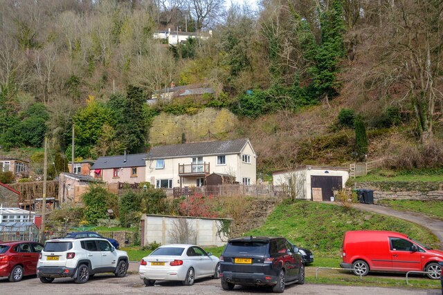
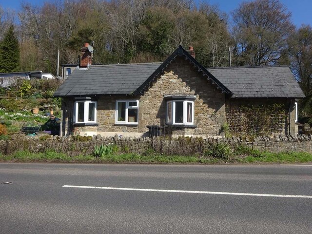
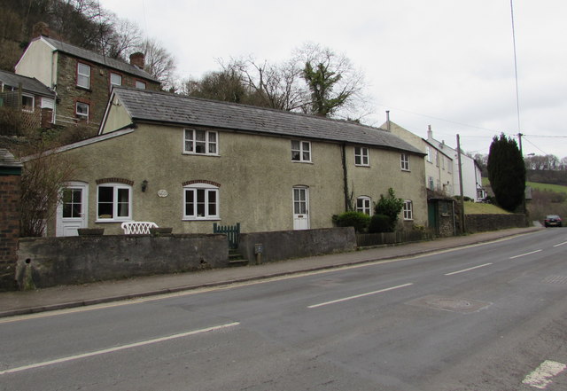
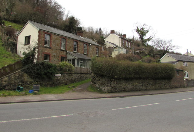
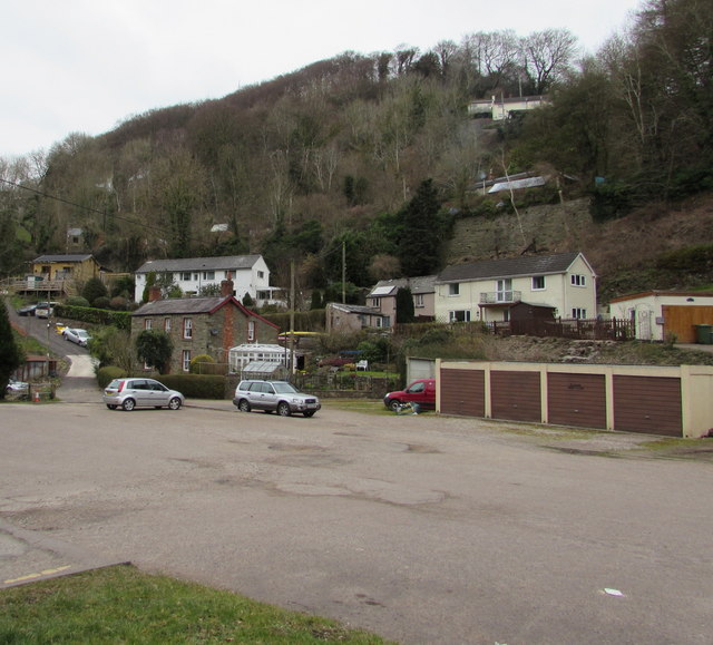
Welsh Bicknor is a small village located in the county of Herefordshire, England. Situated within the picturesque Wye Valley, it is nestled amidst the rolling hills and lush countryside that characterizes this region. The village is part of the civil parish of Whitchurch, and it lies approximately 7 miles southwest of the market town of Ross-on-Wye.
Historically, Welsh Bicknor was a mining village, with iron and coal being extracted from the surrounding area. However, the mines have long been closed, and the village now primarily relies on agriculture as its main industry. The landscape is dotted with farms and fields, giving the area a peaceful and rural atmosphere.
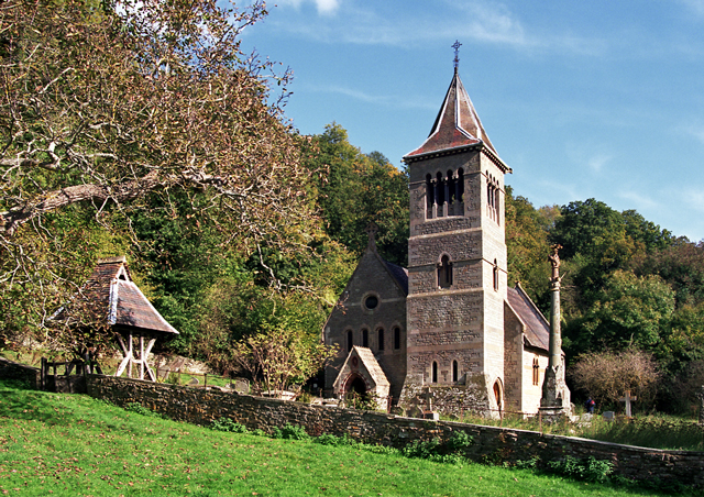
One of the notable landmarks in Welsh Bicknor is the 13th-century St. Margaret's Church. This beautiful medieval church boasts an impressive architecture with its Norman tower and Gothic features. The church is still active and holds regular services, serving as a spiritual center for the local community.
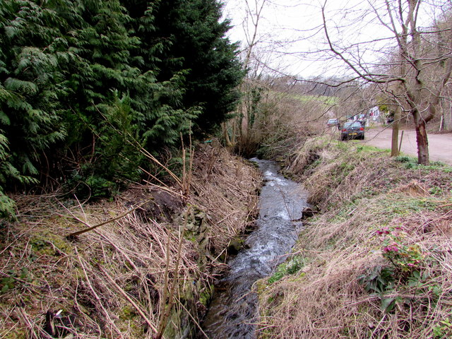
Nature enthusiasts are drawn to Welsh Bicknor for its stunning natural surroundings. The village is located near the Wye Valley Area of Outstanding Natural Beauty, providing ample opportunities for hiking, cycling, and exploring the picturesque countryside. The nearby River Wye also offers opportunities for boating and fishing.
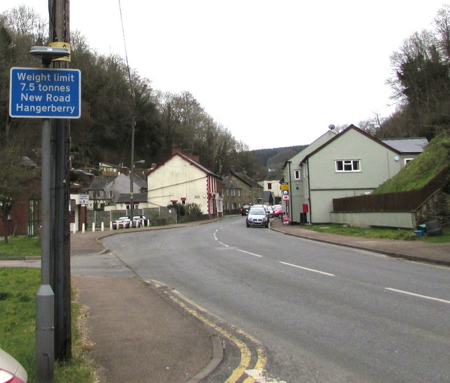
In terms of amenities, Welsh Bicknor is a small village with limited facilities. However, the larger town of Ross-on-Wye is easily accessible by car, providing residents with a wider range of shops, restaurants, and services.
Overall, Welsh Bicknor is a charming rural village, offering tranquility, natural beauty, and a sense of history to both residents and visitors alike.
If you have any feedback on the listing, please let us know in the comments section below.
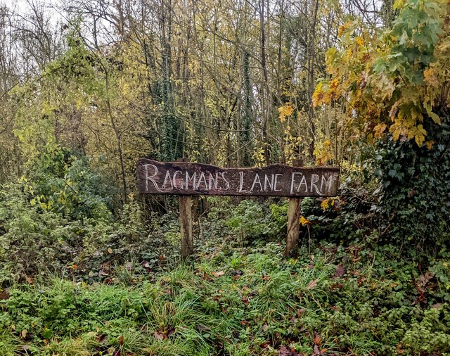
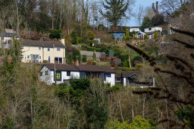
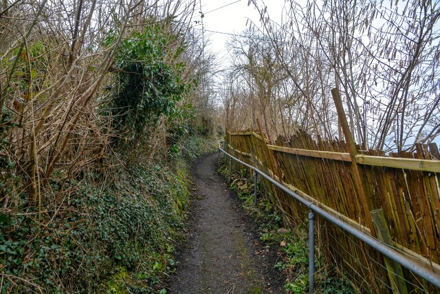
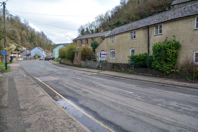
Welsh Bicknor Images
Images are sourced within 2km of 51.856348/-2.5925904 or Grid Reference SO5917. Thanks to Geograph Open Source API. All images are credited.


Welsh Bicknor is located at Grid Ref: SO5917 (Lat: 51.856348, Lng: -2.5925904)
Unitary Authority: County of Herefordshire
Police Authority: West Mercia
What 3 Words
///carriage.surface.irony. Near Lydbrook, Gloucestershire
Nearby Locations
Related Wikis
Welsh Bicknor
Welsh Bicknor (Welsh: Llangystennin Garth Brenni) is an area in the far south of the English county of Herefordshire. Despite its name, it is not now in...
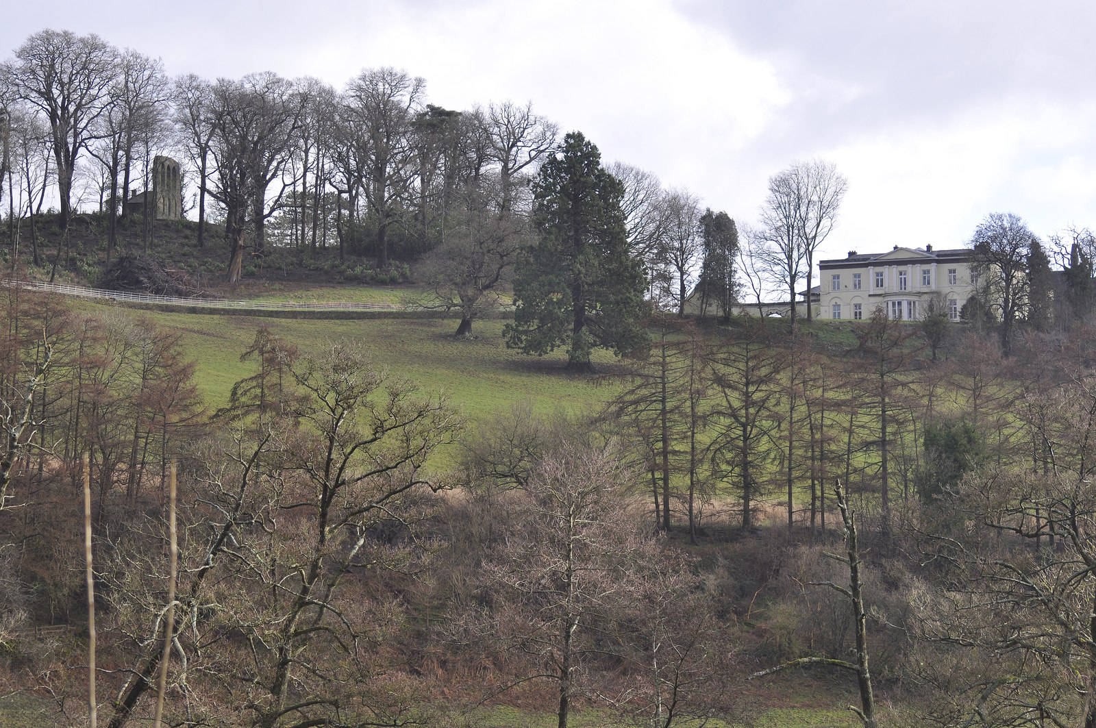
Courtfield, Welsh Bicknor
Courtfield, Welsh Bicknor, Herefordshire, England is a country house dating from the early 19th century. The present building stands on the site of a much...

1942 Herefordshire TRE Halifax crash
V9977 was an Handley Page Halifax II that had been sent to the Telecommunications Research Establishment (TRE) at RAF Defford to be used as a flying testbed...

Lydbrook Junction railway station
Lydbrook Junction railway station is a disused railway station in England opened by the Ross and Monmouth Railway in 1873, it remained open for 91 years...
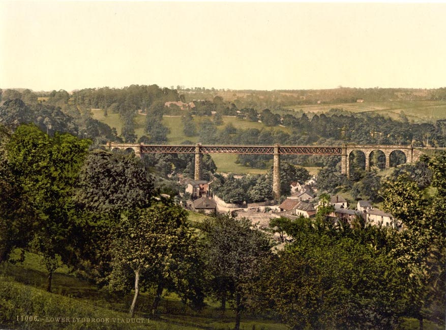
Lower Lydbrook Viaduct
The Lower Lydbrook Viaduct was an iron railway viaduct with stone piers, it was on the Severn and Wye Railway and situated in Lower Lydbrook, Gloucestershire...
Lower Lydbrook railway station
Lower Lydbrook railway station served the civil parish of Lydbrook, Gloucestershire, England, from 1875 to 1903 on the Severn and Wye Railway. == History... ==
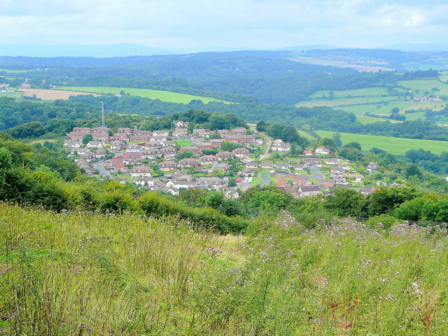
Joys Green, Gloucestershire
Joy's Green is a village in the Forest of Dean in West Gloucestershire, England. The village is in the civil parish of the neighbouring village of Lydbrook...

Sarah Siddons' House
Sarah Siddons' House, also called the Old House, is a cottage in the village of Lydbrook, Gloucestershire, England. A Grade II* listed building, the cottage...
Nearby Amenities
Located within 500m of 51.856348,-2.5925904Have you been to Welsh Bicknor?
Leave your review of Welsh Bicknor below (or comments, questions and feedback).