Rough Plantation

Wood, Forest in Herefordshire

England

Rough Plantation

Yarkhill Church The church is dedicated to St John the Baptist. With exception of the west tower and the south doorway both of which are 13th century, the church was completely rebuilt in 1862 by Ainslie and Blashill.
Yarkhill Church Credit: Philip Halling

Rough Plantation is a picturesque woodland located in the county of Herefordshire, England. Nestled in the heart of the countryside, this woodland area covers a substantial area of approximately 500 acres. It is primarily known for its dense forestation and diverse range of tree species.

The woodland is characterized by its rugged terrain, with undulating hills and valleys providing a scenic backdrop to the area. The forest is predominantly made up of native tree species such as oak, beech, and birch, with their towering canopies creating a lush and vibrant environment.

Rough Plantation is renowned for its natural beauty and acts as a haven for wildlife. The dense vegetation provides a perfect habitat for various species, including deer, foxes, and a plethora of birdlife. Nature enthusiasts and birdwatchers are often drawn to the area due to its rich biodiversity.

Visitors to Rough Plantation can explore the woodland through a network of trails and footpaths that meander through the trees. These paths offer opportunities for walking, hiking, and cycling, allowing visitors to fully immerse themselves in the beauty of the natural surroundings.

The woodland also has a historical significance, with remnants of ancient settlements and archaeological sites scattered throughout the area. These add an extra layer of intrigue and fascination for those interested in the region's history.

Overall, Rough Plantation is a captivating woodland that offers a peaceful retreat from the hustle and bustle of everyday life. Its natural beauty, diverse wildlife, and historical significance make it a must-visit destination for nature lovers and history enthusiasts in Herefordshire.

If you have any feedback on the listing, please let us know in the comments section below.

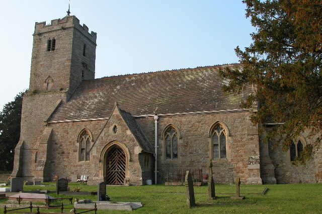
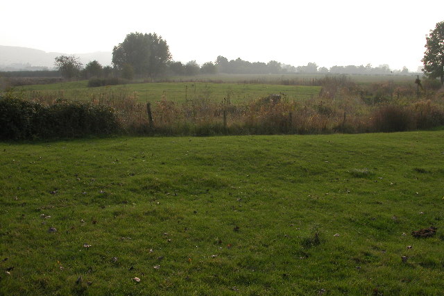
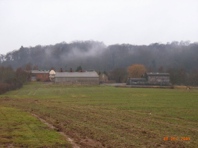
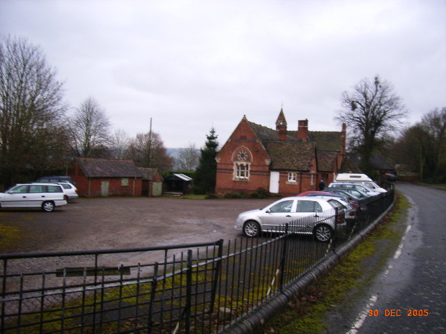
Rough Plantation Images

Images are sourced within 2km of 52.091366/-2.5932774 or Grid Reference SO5943. Thanks to Geograph Open Source API. All images are credited.

Yarkhill Church The church is dedicated to St John the Baptist. With exception of the west tower and the south doorway both of which are 13th century, the church was completely rebuilt in 1862 by Ainslie and Blashill.
Yarkhill Church
The church is dedicated to St John the Baptist. With exception of the west tower and the south doorway both of which are 13th century, the church was completely rebuilt in 1862 by Ainslie and Blashill.
Moat at Yarkhill The land beyond the fence in the foreground is surrounded by a moat.  This is the site of a manor house. Artifacts have been found on this site dating back to the 11th and 12th centuries. In Herefordshire there are the remains some of 120 moats.
Moat at Yarkhill
The land beyond the fence in the foreground is surrounded by a moat. This is the site of a manor house. Artifacts have been found on this site dating back to the 11th and 12th centuries. In Herefordshire there are the remains some of 120 moats.
Woodmanton Farm Woodmanton Farm shown from field entrance near main Hereford to Worcester road
Woodmanton Farm
Woodmanton Farm shown from field entrance near main Hereford to Worcester road
Yarkhill Village Hall, Formerly Village School Yarkhill Village Hall, Formerly the village School, built in 1866
Yarkhill Village Hall, Formerly Village School
Yarkhill Village Hall, Formerly the village School, built in 1866
Skew Bridge, Monkhide Built by Stephen Ballard in 1843 to take a minor no through road over the Hereford to Gloucester Canal. Rather than simply build it at right angles to the canal he went to all the trouble with stability etc in building the most skew canal bridge in Britain. Why? Because he could.
Skew Bridge, Monkhide
Built by Stephen Ballard in 1843 to take a minor no through road over the Hereford to Gloucester Canal. Rather than simply build it at right angles to the canal he went to all the trouble with stability etc in building the most skew canal bridge in Britain. Why? Because he could.
Grove Farm and Apple Orchard Many unpicked apples strewn on the ground - even cut mistletoe lying about!
Grove Farm and Apple Orchard
Many unpicked apples strewn on the ground - even cut mistletoe lying about!
Footbridge into Grove Farm Orchard Looking generally southerly. Over the bridge the ground was very marshy. Many of the trees had the mistletoe cut, but left on the ground.
Footbridge into Grove Farm Orchard
Looking generally southerly. Over the bridge the ground was very marshy. Many of the trees had the mistletoe cut, but left on the ground.
Prunastri Lichen on Apple Tree Taken in an orchard to the north of Grove Farm. 
Lichen is a good indicator of a healthy pollution free countryside.
for help in identification see:
<span class="nowrap"><a title="http://www.earthlife.net/lichens/images/photos/thumbs/thumbs1.html" rel="nofollow ugc noopener" href="http://www.earthlife.net/lichens/images/photos/thumbs/thumbs1.html">Link</a><img style="margin-left:2px;" alt="External link" title="External link - shift click to open in new window" src="https://s1.geograph.org.uk/img/external.png" width="10" height="10"/></span>
Prunastri Lichen on Apple Tree
Taken in an orchard to the north of Grove Farm. Lichen is a good indicator of a healthy pollution free countryside. for help in identification see: LinkExternal link
Canal Buildings?, near Wharf Cottages The two plaques read: "Commemorating the Formation of the [Herefordshire & Gloucestershire Canal] Trust. April 1992" and "Crews Pitch Wharf". A similar long building near "The Full Pitcher" pub in Ledbury was the accommodation for the navvies working on the canal.
Canal Buildings?, near Wharf Cottages
The two plaques read: "Commemorating the Formation of the [Herefordshire & Gloucestershire Canal] Trust. April 1992" and "Crews Pitch Wharf". A similar long building near "The Full Pitcher" pub in Ledbury was the accommodation for the navvies working on the canal.
St John Baptist, Yarkhill Apart from the tower and south porch, all rebuilt in 1862 by Ainslie and Blashill of London. The sort of job which gave the Victorians a bad name.
St John Baptist, Yarkhill
Apart from the tower and south porch, all rebuilt in 1862 by Ainslie and Blashill of London. The sort of job which gave the Victorians a bad name.
St John Baptist, Yarkhill
The view from 'Skew Bridge' at Monkhide Built in 1843 and restored in 1985 this famous skewed bridge crosses the old Hereford & Gloucester canal. A short stretch of the canal still exists near Monkhide to the east of Hereford.
The view from 'Skew Bridge' at Monkhide
Built in 1843 and restored in 1985 this famous skewed bridge crosses the old Hereford & Gloucester canal. A short stretch of the canal still exists near Monkhide to the east of Hereford.
Yarkhill - Barn By The Moat
Yarkhill Church - Viewed From The West
Yarkhill Church - Viewed From The South
Yarkhill Cottage
Yarkhill Cottage
A4103 At Grove Turning
Fields North Of The A4103
Show me another place!

Rough Plantation is located at Grid Ref: SO5943 (Lat: 52.091366, Lng: -2.5932774)

Unitary Authority: County of Herefordshire

Police Authority: West Mercia

What 3 Words

///kitchens.gradually.movies. Near Ocle Pychard, Herefordshire

Related Wikis

Westhide

Westhide is a village and civil parish in Herefordshire, England, 5+1⁄4 miles (8.4 km) north-east of Hereford. The parish had a population of 79 in the...

Yarkhill

Yarkhill is a village in Herefordshire, England located about 9 miles (14 km) from both Hereford and Ledbury. The village is Anglo-Saxon in origin and...

Ocle Pychard

Ocle Pychard is a hamlet and parish near Burley Gate, in Herefordshire, England, 3.25 miles (5.23 km) northwest of Stoke Edith, 6 miles (9.7 km) southwest...

Weston Beggard

Weston Beggard is a small civil parish and hamlet in Herefordshire, England. It is located between the villages of Shucknall and Bartestree and lies approximately...

Nearby Amenities

Located within 500m of 52.091366,-2.5932774
Yarkhills Telecoms Site
Power: pole
Transformer: distribution
Voltage Primary: 11000
Lat/Long: 52.0878115/-2.5944217
Power: pole
Lat/Long: 52.0871613/-2.594993
The data included in this document is from www.openstreetmap.org. The data is made available under ODbL.

Have you been to Rough Plantation?

Leave your review of Rough Plantation below (or comments, questions and feedback).