New Covert
Wood, Forest in Cheshire
England
New Covert

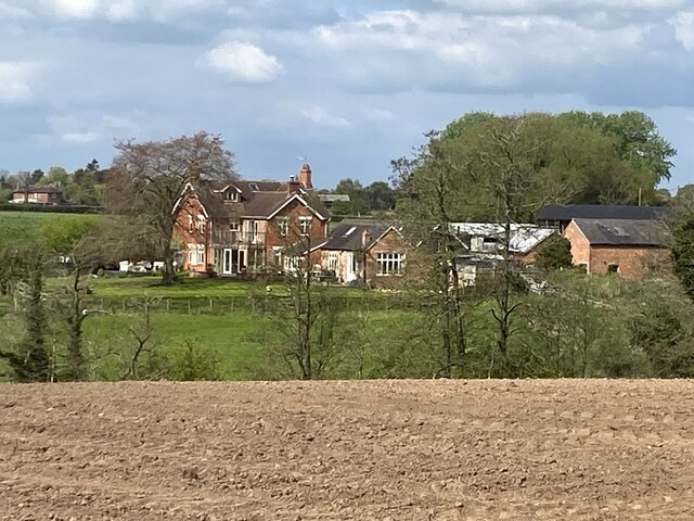
New Covert is a small village located in the county of Cheshire, England. Situated within the scenic landscape of Wood Forest, the village is known for its tranquil and picturesque surroundings. With a population of around 500 residents, New Covert offers a close-knit community atmosphere, making it an ideal place for those seeking a peaceful and quiet lifestyle.
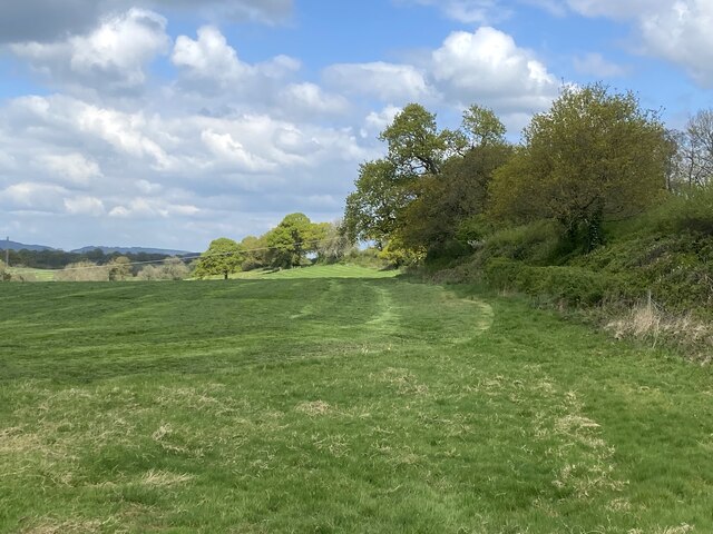
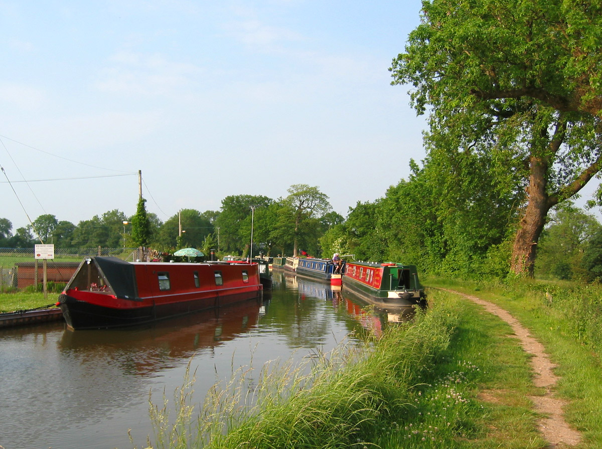
The village is surrounded by dense woodlands, providing ample opportunities for outdoor activities such as hiking, cycling, and nature walks. The woodlands are home to a diverse range of flora and fauna, making it a haven for wildlife enthusiasts and nature lovers.
Despite its rural setting, New Covert boasts excellent transport links with nearby towns and cities. The village is conveniently located just a short drive away from the bustling town of Chester, which offers a wide range of amenities including shops, restaurants, and leisure facilities. Additionally, the village is well-connected by road, with easy access to major motorways, allowing for convenient travel to other parts of the country.
New Covert is also known for its strong sense of community spirit, with various local events and activities organized throughout the year. The village has a primary school, providing education for children in the area, and a community center that hosts a range of clubs and social gatherings.
Overall, New Covert, Cheshire is a charming village nestled within Wood Forest, offering a serene and idyllic setting for residents seeking a peaceful countryside lifestyle, while still enjoying easy access to nearby towns and cities.
If you have any feedback on the listing, please let us know in the comments section below.
New Covert Images
Images are sourced within 2km of 53.037907/-2.6061045 or Grid Reference SJ5949. Thanks to Geograph Open Source API. All images are credited.


New Covert is located at Grid Ref: SJ5949 (Lat: 53.037907, Lng: -2.6061045)
Unitary Authority: Cheshire East
Police Authority: Cheshire
What 3 Words
///character.emerge.condition. Near Bickley, Cheshire
Nearby Locations
Related Wikis
Baddiley
Baddiley is a scattered settlement and civil parish in the unitary authority of Cheshire East and the ceremonial county of Cheshire, England. The civil...

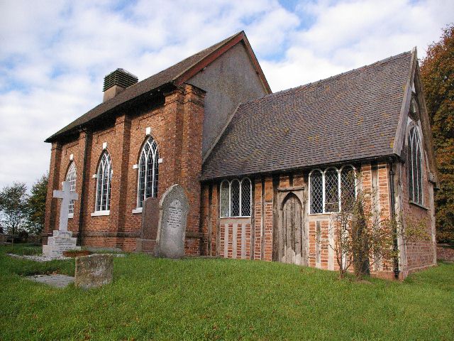
St Margaret's Church, Wrenbury
St Margaret's Church overlooks the village green of Wrenbury, Cheshire, England. The church is recorded in the National Heritage List for England as a...
Wrenbury-cum-Frith
Wrenbury-cum-Frith is a village and civil parish in the unitary authority of Cheshire East, and the ceremonial county of Cheshire, England. It lies on...
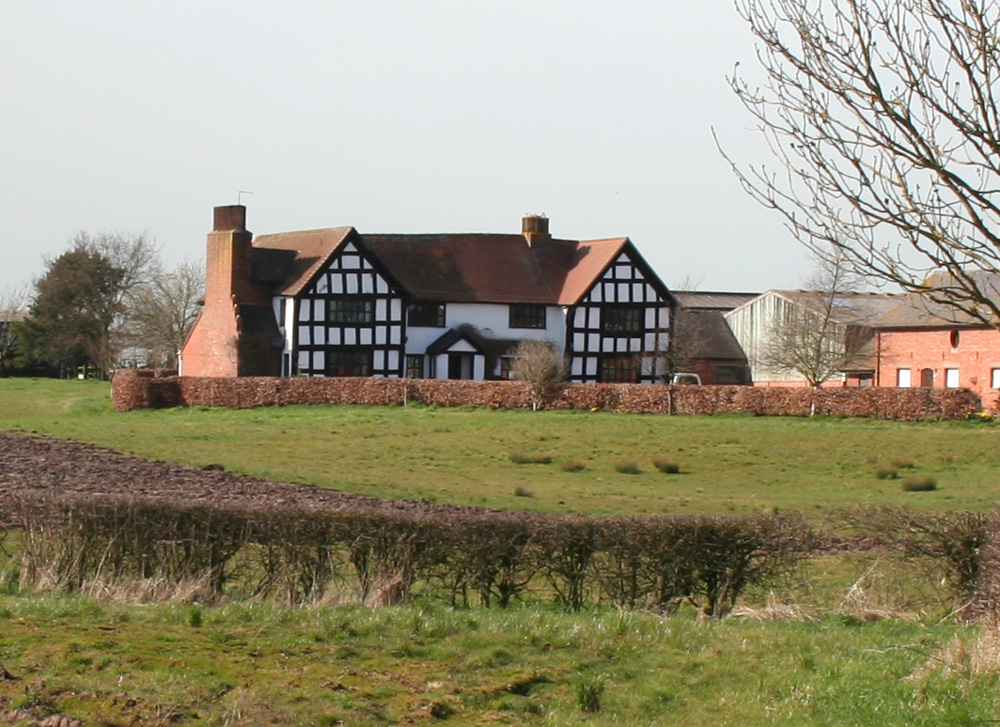
St Michael's Church, Baddiley
St Michael's Church is in the civil parish of Baddiley, Cheshire, England. It is recorded in the National Heritage List for England as a designated Grade...
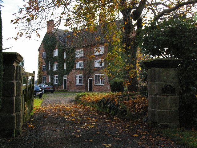
Baddiley Hall
Baddiley Hall is a country house in the settlement of Baddiley in Cheshire, England. Previously there was a half-timbered house on the site, but this...
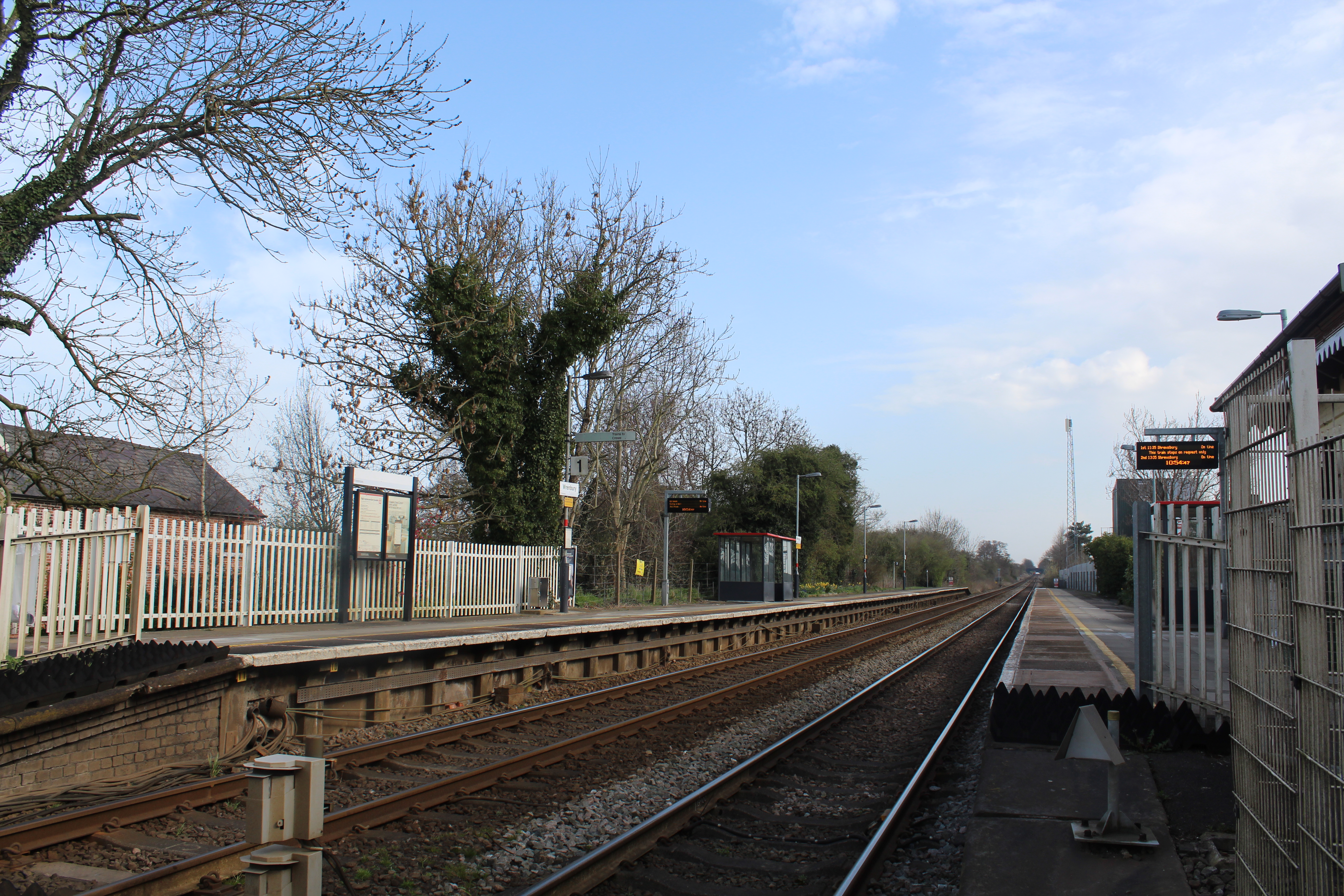
Wrenbury railway station
Wrenbury railway station serves the village of Wrenbury in Cheshire, England and is on the Welsh Marches Line 9 miles (14 km) south west of Crewe. It is...
Sound, Cheshire
Sound is a hamlet (at SJ619483) and civil parish in the unitary authority of Cheshire East and the ceremonial county of Cheshire, England. The hamlet is...

Chorley, Cholmondeley
Chorley is a hamlet (at SJ574511) and civil parish in the unitary authority of Cheshire East and the ceremonial county of Cheshire, England. The hamlet...
Nearby Amenities
Located within 500m of 53.037907,-2.6061045Have you been to New Covert?
Leave your review of New Covert below (or comments, questions and feedback).