Cookley

Settlement in Worcestershire Wyre Forest

England

Cookley

Cookley Village Hall & Sports Club (1), Lea Lane, Cookley This £945,000 project was officially opened on the 5th February 2011. Over 300 people attended the opening. The facility replaced the old Parish Hall. The building comprises a sports club lounge, two meeting rooms with computers and internet, a kitchen, a snooker room and a 200 metre square hall, with a stage for performances.

<a href="https://www.geograph.org.uk/photo/2337173">SO8480 : Cookley Village Hall & Sports Club (2), Lea Lane, Cookley</a>.
Cookley Village Hall & Sports Club (1), Lea Lane, Cookley Credit: P L Chadwick

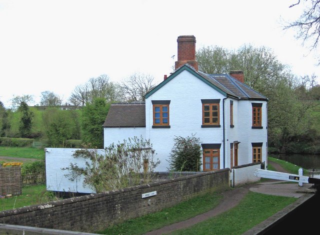
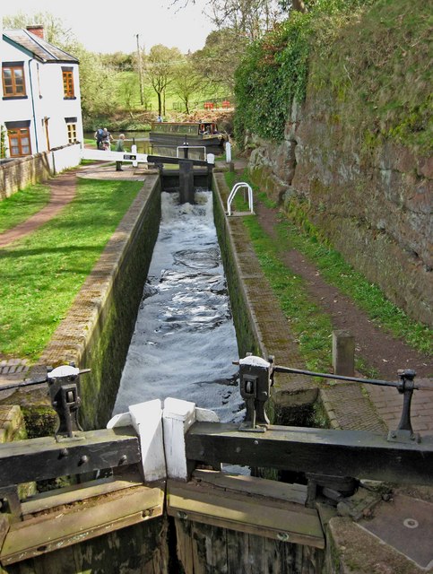
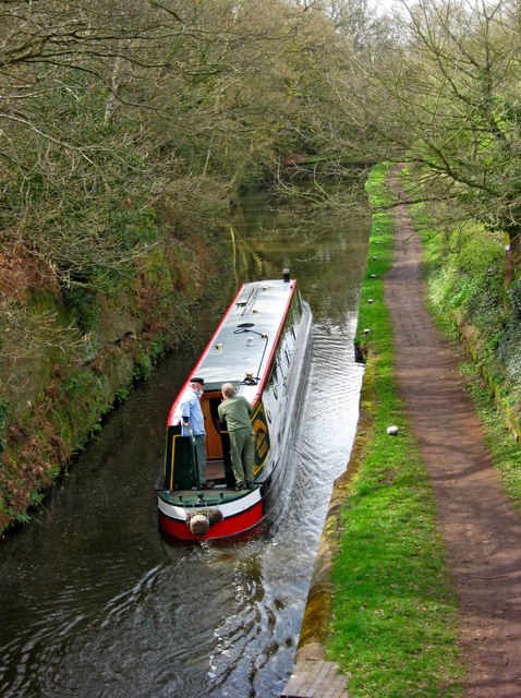
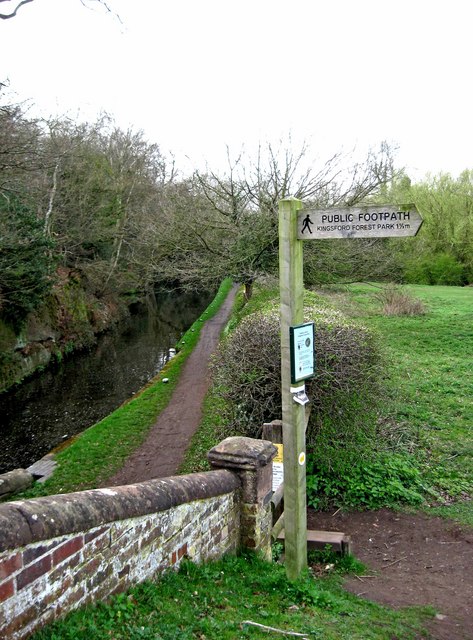
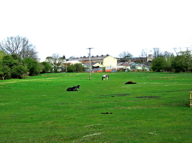
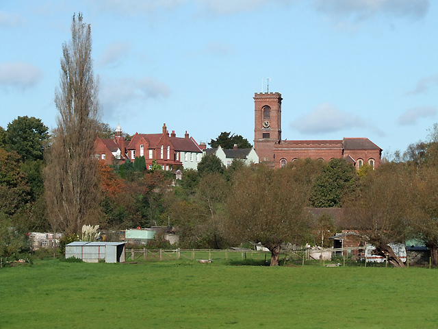
Cookley is a small village located in the Wyre Forest district of Worcestershire, England. Situated approximately 2 miles southwest of Kidderminster, it lies on the banks of the River Stour and is surrounded by picturesque countryside.

The village has a population of around 2,200 people and is known for its charming rural atmosphere. It is characterized by a mix of traditional brick and timber-framed buildings, some of which date back to the 16th century. The village center is home to a few local shops, including a convenience store and a post office, providing essential services to the residents.

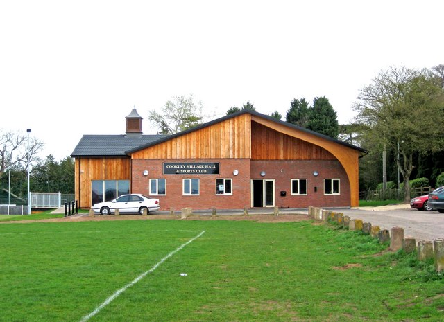
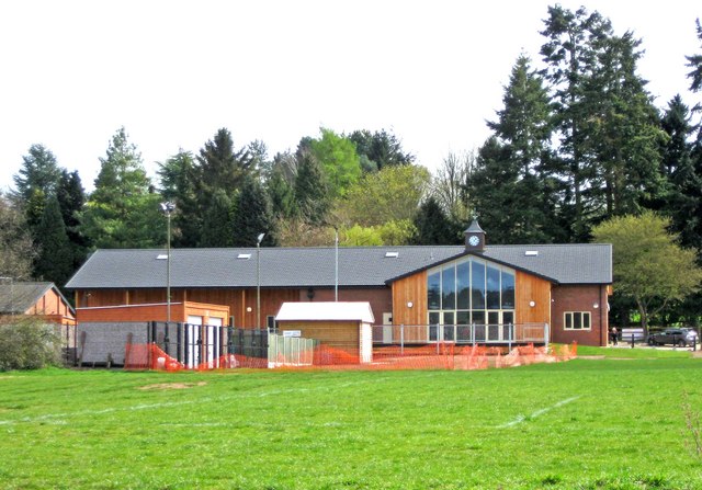
Cookley boasts a strong sense of community, with various local events and activities held throughout the year. The village has a primary school, a church, and a village hall that serves as a hub for community gatherings and events. There are also several pubs and restaurants where residents and visitors can enjoy a meal or a drink in a cozy and friendly atmosphere.

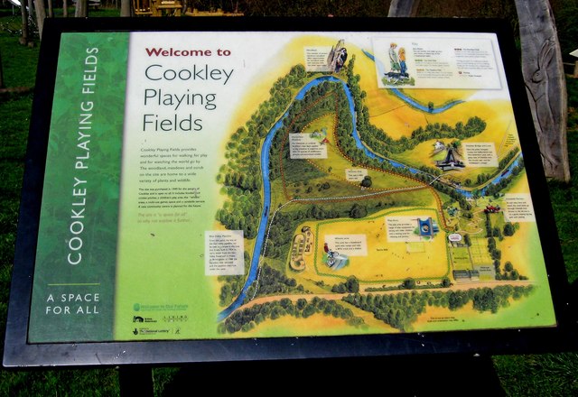
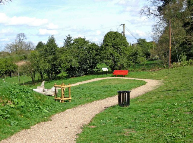
The surrounding countryside offers plenty of opportunities for outdoor activities, with numerous walking and cycling trails that weave through the scenic landscape. Cookley is also in close proximity to the Wyre Forest, a vast woodland area that is a popular destination for nature enthusiasts.

Overall, Cookley is a charming and idyllic village that provides a peaceful and close-knit community for its residents, while offering easy access to the natural beauty of the Worcestershire countryside.

If you have any feedback on the listing, please let us know in the comments section below.
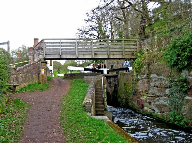
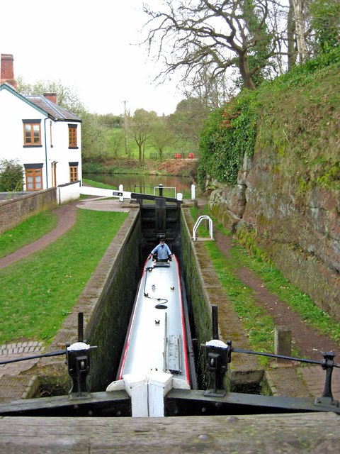
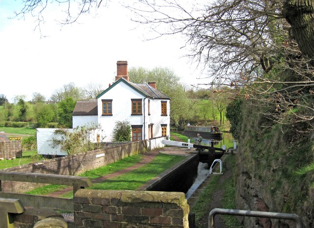
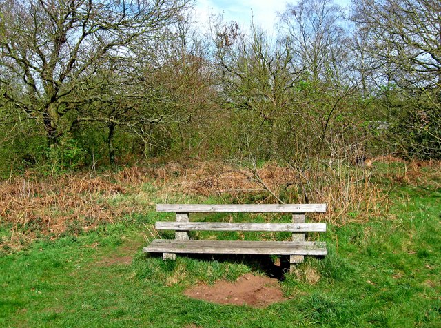
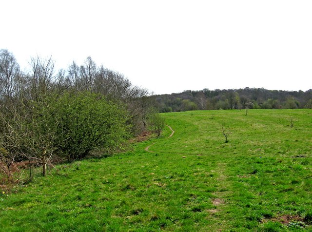
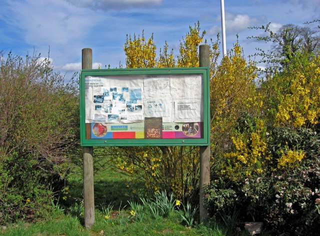
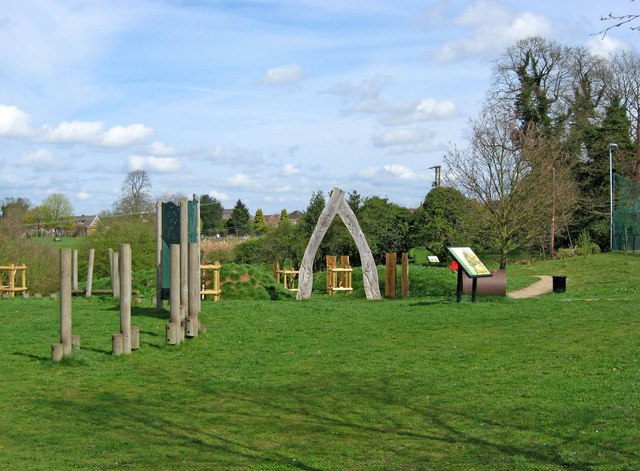
Cookley Images

Images are sourced within 2km of 52.417285/-2.232724 or Grid Reference SO8479. Thanks to Geograph Open Source API. All images are credited.

Cookley Village Hall & Sports Club (1), Lea Lane, Cookley This £945,000 project was officially opened on the 5th February 2011. Over 300 people attended the opening. The facility replaced the old Parish Hall. The building comprises a sports club lounge, two meeting rooms with computers and internet, a kitchen, a snooker room and a 200 metre square hall, with a stage for performances.

<a href="https://www.geograph.org.uk/photo/2337173">SO8480 : Cookley Village Hall & Sports Club (2), Lea Lane, Cookley</a>.
Cookley Village Hall & Sports Club (1), Lea Lane, Cookley
This £945,000 project was officially opened on the 5th February 2011. Over 300 people attended the opening. The facility replaced the old Parish Hall. The building comprises a sports club lounge, two meeting rooms with computers and internet, a kitchen, a snooker room and a 200 metre square hall, with a stage for performances. SO8480 : Cookley Village Hall & Sports Club (2), Lea Lane, Cookley.
Cookley Village Hall & Sports Club (2), Lea Lane, Cookley Outside the new village hall are various sports facilities, a play area for children, and an area for BMX bikes etc and skateboarding, called the Wheels Area.

<a href="https://www.geograph.org.uk/photo/2337154">SO8480 : Cookley Village Hall & Sports Club (1), Lea Lane, Cookley</a>.
Cookley Village Hall & Sports Club (2), Lea Lane, Cookley
Outside the new village hall are various sports facilities, a play area for children, and an area for BMX bikes etc and skateboarding, called the Wheels Area. SO8480 : Cookley Village Hall & Sports Club (1), Lea Lane, Cookley.
Lea Lane, Cookley At the approach to the village of Cookley. On the left is the new Village Hall.

<a href="https://www.geograph.org.uk/photo/2337154">SO8480 : Cookley Village Hall & Sports Club (1), Lea Lane, Cookley</a>.
Lea Lane, Cookley
At the approach to the village of Cookley. On the left is the new Village Hall. SO8480 : Cookley Village Hall & Sports Club (1), Lea Lane, Cookley.
Former Lock Keeper's Cottage, Debdale Lock, Staffs & Worcs Canal near Cookley In the long ago days of freight being carried on the canal, there would have been a resident lock keeper living here.

A different view:- <a href="https://www.geograph.org.uk/photo/3217505">SO8480 : Former Lock Keeper's Cottage, Debdale Lock, near Cookley</a>.
Former Lock Keeper's Cottage, Debdale Lock, Staffs & Worcs Canal near Cookley
In the long ago days of freight being carried on the canal, there would have been a resident lock keeper living here. A different view:- SO8480 : Former Lock Keeper's Cottage, Debdale Lock, near Cookley.
Debdale Lock, Staffs & Worcs Canal, near Cookley A footpath continues from the bridge up to Cookley Playing Fields. In the other direction it goes to Kingsford Forest Park.
Debdale Lock, Staffs & Worcs Canal, near Cookley
A footpath continues from the bridge up to Cookley Playing Fields. In the other direction it goes to Kingsford Forest Park.
Boat in Debdale Lock, Staffs & Worcs Canal, near Cookley There is a cavern beside this lock, which apparently used to be used as a stables for horses pulling boats along the canal. There is room for about four horses to lie down.
Boat in Debdale Lock, Staffs & Worcs Canal, near Cookley
There is a cavern beside this lock, which apparently used to be used as a stables for horses pulling boats along the canal. There is room for about four horses to lie down.
Plaque at Debdale Bridge (No. 22), Staffs & Worcs Canal, near Cookley The small bridge at Debdale Lock is, not surprisingly, called Debdale Bridge, and numbered 22. Usually these plaques are affixed to the bridge, but this one is attached to the lock wall under the bridge. The style of the plaque would seem to indicate it is probably a replacement, rather than an original.

<a href="https://www.geograph.org.uk/photo/2340638">SO8480 : Debdale Lock, Staffs & Worcs Canal, near Cookley</a>.
Plaque at Debdale Bridge (No. 22), Staffs & Worcs Canal, near Cookley
The small bridge at Debdale Lock is, not surprisingly, called Debdale Bridge, and numbered 22. Usually these plaques are affixed to the bridge, but this one is attached to the lock wall under the bridge. The style of the plaque would seem to indicate it is probably a replacement, rather than an original. SO8480 : Debdale Lock, Staffs & Worcs Canal, near Cookley.
Debdale Lock, Staffs & Worcs Canal, near Cookley A narrowboat can be seen approaching the lock. The former lock keeper's cottage is on the left.

<a href="https://www.geograph.org.uk/photo/2340591">SO8480 : Former Lock Keeper's Cottage, Debdale Lock, Staffs & Worcs Canal near Cookley</a>.
Debdale Lock, Staffs & Worcs Canal, near Cookley
A narrowboat can be seen approaching the lock. The former lock keeper's cottage is on the left. SO8480 : Former Lock Keeper's Cottage, Debdale Lock, Staffs & Worcs Canal near Cookley.
Debdale Lock, Staffs & Worcs Canal, near Cookley Another view of the lock:- <a href="https://www.geograph.org.uk/photo/2340721">SO8480 : Debdale Lock, Staffs & Worcs Canal, near Cookley</a>, and <a href="https://www.geograph.org.uk/photo/2340638">SO8480 : Debdale Lock, Staffs & Worcs Canal, near Cookley</a>.
Debdale Lock, Staffs & Worcs Canal, near Cookley
Narrowboat west of Debdale Lock, Staffs & Worcs Canal, near Cookley The narrowboat has just left Debdale Lock. The canal is particularly narrow at this point, and it wouldn't be much fun meeting another boat around here. Photographed from Debdale Bridge.

<a href="https://www.geograph.org.uk/photo/2340658">SO8480 : Boat in Debdale Lock, Staffs & Worcs Canal, near Cookley</a>.
Narrowboat west of Debdale Lock, Staffs & Worcs Canal, near Cookley
The narrowboat has just left Debdale Lock. The canal is particularly narrow at this point, and it wouldn't be much fun meeting another boat around here. Photographed from Debdale Bridge. SO8480 : Boat in Debdale Lock, Staffs & Worcs Canal, near Cookley.
Signpost by Debdale Bridge, Staffs & Worcs Canal, near Cookley The signpost points across a field, where there is a public footpath to Kingsford Forest Park, about a mile and a half away. Behind the signpost can be seen the canal and towpath.

<a href="https://www.geograph.org.uk/photo/2340826">SO8480 : Footpath across a field, near Cookley</a>.
Signpost by Debdale Bridge, Staffs & Worcs Canal, near Cookley
The signpost points across a field, where there is a public footpath to Kingsford Forest Park, about a mile and a half away. Behind the signpost can be seen the canal and towpath. SO8480 : Footpath across a field, near Cookley.
Footpath across a field, near Cookley There is a public footpath across this field, although it isn't immediately obvious quite where the footpath is. It leads to the popular Kingsford Forest Park, which is a nice place for walking, riding and other outdoor pursuits. In the distance can be seen some industrial buildings, which are on the edge of the village of Cookley.

<a href="https://www.geograph.org.uk/photo/2340802">SO8480 : Signpost by Debdale Bridge, Staffs & Worcs Canal, near Cookley</a>.
Footpath across a field, near Cookley
There is a public footpath across this field, although it isn't immediately obvious quite where the footpath is. It leads to the popular Kingsford Forest Park, which is a nice place for walking, riding and other outdoor pursuits. In the distance can be seen some industrial buildings, which are on the edge of the village of Cookley. SO8480 : Signpost by Debdale Bridge, Staffs & Worcs Canal, near Cookley.
Seat in Horseshoe Meadow, near Cookley Horseshoe Meadow is part of Cookley Playing Fields, which is an area open to the public to enjoy. There is a path from near the seat, which leads down to a path by the Staffs & Worcs Canal, on the opposite side to the towpath.
Seat in Horseshoe Meadow, near Cookley
Horseshoe Meadow is part of Cookley Playing Fields, which is an area open to the public to enjoy. There is a path from near the seat, which leads down to a path by the Staffs & Worcs Canal, on the opposite side to the towpath.
Footpath across Horseshoe Meadow, near Cookley The footpath goes to the Village Hall and car park, with a branch leading off and descending to Debdale Lock, on the nearby Staffs & Worcs Canal. The meadow, which is part of Cookley Playing Fields, is not treated with chemicals or artificial fertilisers. It supports more than fifty species of wildflowers, grasses and associated wildlife.
Footpath across Horseshoe Meadow, near Cookley
The footpath goes to the Village Hall and car park, with a branch leading off and descending to Debdale Lock, on the nearby Staffs & Worcs Canal. The meadow, which is part of Cookley Playing Fields, is not treated with chemicals or artificial fertilisers. It supports more than fifty species of wildflowers, grasses and associated wildlife.
Notice board, Cookley Playing Fields, Cookley Much of what is still on the board concerns the construction of a "natural play area", work on which was due to start on the 11th June 2009. It is now complete.

<a href="https://www.geograph.org.uk/photo/2341532">SO8480 : Natural Play Area, Cookley Playing Fields, Cookley</a>.
Notice board, Cookley Playing Fields, Cookley
Much of what is still on the board concerns the construction of a "natural play area", work on which was due to start on the 11th June 2009. It is now complete. SO8480 : Natural Play Area, Cookley Playing Fields, Cookley.
Natural Play Area, Cookley Playing Fields, Cookley This is part of the Natural Play Area, on which work started in June 2009.

<a href="https://www.geograph.org.uk/photo/2341513">SO8480 : Notice board, Cookley Playing Fields, Cookley</a>.
Natural Play Area, Cookley Playing Fields, Cookley
This is part of the Natural Play Area, on which work started in June 2009. SO8480 : Notice board, Cookley Playing Fields, Cookley.
Information board at Cookley Playing Fields, Cookley The board gives much information about the many facilities at the site.
Information board at Cookley Playing Fields, Cookley
The board gives much information about the many facilities at the site.
The zig-zag path to the Canalside Terrace, Cookley Playing Fields, Cookley This view is near the start of the zig-zag path, which gently slopes down to the Canalside Terrace. The terrace gives good views of the Staffs & Worcs Canal, and Debdale Lock.
The zig-zag path to the Canalside Terrace, Cookley Playing Fields, Cookley
This view is near the start of the zig-zag path, which gently slopes down to the Canalside Terrace. The terrace gives good views of the Staffs & Worcs Canal, and Debdale Lock.
Show me another place!

Cookley is located at Grid Ref: SO8479 (Lat: 52.417285, Lng: -2.232724)

Administrative County: Worcestershire

District: Wyre Forest

Police Authority: West Mercia

What 3 Words

///compiled.irritated.request. Near Kidderminster, Worcestershire

Related Wikis

Cookley

Cookley is a village in the Wyre Forest District of Worcestershire, England, a few miles to the north of Kidderminster. Also, a few miles south-west of...
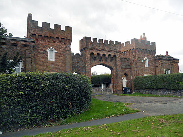
Lea Castle, England

Lea Castle is a ruined Grade II listed Neo Gothic mock castle mansion near Wolverley, England. == History == Lea Castle was built by Edward Knight in 1762...

Wolverley

Wolverley is a village; with nearby Cookley (1 mi northeast), it forms a civil parish in the Wyre Forest District of Worcestershire, England. It is 2 miles...

Caunsall

Caunsall is a hamlet in Worcestershire, England a few miles to the north of Kidderminster and close to the villages of Kinver, Cookley and Wolverley. It...

Heathfield Knoll School

Heathfield Knoll School and First Steps Day Nursery is a small, independent, non-denominational day school and day nursery in Wolverley, near Kidderminster...

Axborough

Axborough is a low wooded hill east of Cookley in north Worcestershire, England. == History == Its Saxon name meant hassock grass barrow. This does not...

Wolverley Church of England Secondary School

Wolverley CofE Secondary School is located in the village of Wolverley, near Kidderminster in Worcestershire, England. The mixed gender school has approximately...

Blakeshall

Blakeshall is a hamlet in Worcestershire, England. It is one of the ancient townships of the manor of Wolverley, whose extent was similar to that of the...

Nearby Amenities

Located within 500m of 52.417285,-2.232724
Bus Stop
Cookley- Gaymore Road
Bus: yes
Naptan AtcoCode: 2000G101800
Naptan Bearing: NW
Naptan CommonName: Cookley- Gaymore Road
Naptan Indicator: Adj
Naptan Landmark: Gaymore Road
Naptan NaptanCode: wocdjdjm
Naptan Street: Gaymore Road
Naptan Verified: no
Public Transport: platform
Source: naptan_import
Lat/Long: 52.4199933/-2.2288318
Bus Stop
Bulls Head
Bus: yes
Naptan AtcoCode: 2000G101900
Naptan Bearing: N
Naptan CommonName: Bulls Head
Naptan Indicator: Opp
Naptan Landmark: Opp public house
Naptan NaptanCode: wocdjdjt
Naptan Street: Castle Road
Naptan Verified: no
Public Transport: platform
Source: naptan_import
Lat/Long: 52.4210644/-2.2328077
Bus Stop
Bulls Head
Bus: yes
Naptan AtcoCode: 2000G101901
Naptan Bearing: N
Naptan CommonName: Bulls Head
Naptan Indicator: Adj
Naptan Landmark: by pub
Naptan NaptanCode: wocdjdjw
Naptan Street: Castle Road
Naptan Verified: no
Public Transport: platform
Source: naptan_import
Lat/Long: 52.4213072/-2.2327796
Cookley- shops
Naptan AtcoCode: 2000G101902
Naptan Bearing: N
Naptan BusStopType: CUS
Naptan CommonName: Cookley- shops
Naptan Indicator: Adj
Naptan Landmark: Cookley- shops
Naptan NaptanCode: wocdjdma
Naptan Street: Cookley- shops
Naptan Verified: no
Source: naptan_import
Lat/Long: 52.4209517/-2.2324834
Bus Stop
North Lodges
Bus: yes
Naptan AtcoCode: 2000G400113
Naptan Bearing: NW
Naptan CommonName: North Lodges
Naptan Crossing: Wolverhampton Road
Naptan Indicator: Adj
Naptan Landmark: Lea Castle Centre (North Lodges)
Naptan NaptanCode: wocdmwtd
Naptan Street: Castle Road
Naptan Verified: no
Public Transport: platform
Source: naptan_import
Lat/Long: 52.4140079/-2.2277129
Bus Stop
North Lodges
Bus: yes
Naptan AtcoCode: 2000G591586
Naptan Bearing: SE
Naptan CommonName: North Lodges
Naptan Crossing: Wolverhampton Road
Naptan Indicator: Opp
Naptan Landmark: Lea Castle Centre (North Lodges)
Naptan NaptanCode: wocgdtmw
Naptan Street: Castle Road
Naptan Verified: no
Public Transport: platform
Source: naptan_import
Lat/Long: 52.4142596/-2.2276995
Bus Stop
Portway Place
Bus: yes
Naptan AtcoCode: 2000G591587
Naptan Bearing: SE
Naptan CommonName: Portway Place
Naptan Crossing: Portway Place
Naptan Indicator: Adj
Naptan Landmark: Cookley Hair Studio
Naptan NaptanCode: wocgdtpa
Naptan Street: Castle Road
Naptan Verified: no
Public Transport: platform
Source: naptan_import
Lat/Long: 52.4180469/-2.2311597
Bus Stop
Portway Place
Bus: yes
Naptan AtcoCode: 2000G591588
Naptan Bearing: NW
Naptan CommonName: Portway Place
Naptan Crossing: Portway Place
Naptan Indicator: Opp
Naptan Landmark: Cookley Hair Studio
Naptan NaptanCode: wocgdtpd
Naptan Street: Castle Road
Naptan Verified: no
Public Transport: platform
Source: naptan_import
Lat/Long: 52.4178848/-2.2312618
Bus Stop
Bus: yes
Public Transport: platform
Lat/Long: 52.41554/-2.22887
Pub
Red Lion
Lat/Long: 52.4173256/-2.2304721
Crossing
Crossing: uncontrolled
Crossing Ref: zebra
Source: gps_survey
Lat/Long: 52.4205921/-2.2324012
Pub
The Eagle & Spur
Lat/Long: 52.4206272/-2.2322497
Public Bookcase
Booth: K6
Disused Amenity: telephone
Man Made: telephone_box
Public Bookcase Type: phone_box
Source: gps_survey
Lat/Long: 52.42076/-2.23221
Pub
Bulls Head
Brand: Marston's
Brand Wikidata: Q6773982
Source: gps_survey
Website: https://www.bullsheadkidderminster.co.uk/
Lat/Long: 52.4211425/-2.232666
Seamark Type: gate
Waterway: lock_gate
Lat/Long: 52.4194878/-2.2367302
Seamark Type: gate
Waterway: lock_gate
Lat/Long: 52.4195105/-2.2363908
Fast Food
Cookley Fisheries
Cuisine: fish_and_chips
Lat/Long: 52.4207179/-2.2327011
Fast Food
Cookley Tandoori Takeaway
Cuisine: indian
Lat/Long: 52.4207613/-2.2327218
Atm
Lat/Long: 52.4208628/-2.2327846
Tesco Express
Addr City: Kidderminster
Addr Housenumber: 5
Addr Postcode: DY10 3SA
Addr Street: Bridge Road
Addr Village: Cookley
Brand: Tesco Express
Brand Wikidata: Q98456772
Brand Wikipedia: en:Tesco
Fhrs Id: 686473
Opening Hours: 06:00-23:00
Shop: convenience
Source Addr: FHRS Open Data
Website: https://www.tesco.com/store-locator/kidderminster/5-bridge-rd
Lat/Long: 52.4209026/-2.2328552
Natural: cave_entrance
Lat/Long: 52.4194617/-2.2365708
Sport: bmx
Lat/Long: 52.4170479/-2.2384156
Man Made: manhole
Manhole: water
Pipeline: inspection chamber
Lat/Long: 52.4169881/-2.2300256
Addr City: Kidderminster
Addr Housenumber: 2
Addr Postcode: DY10 3SA
Addr Street: Bridge Road
Addr Village: Cookley
Disused Amenity: post_office
Old Name: Cookley Post Office
Ref Pol Id: 9494
Source: pol_branch_list_2018-02
Lat/Long: 52.4207907/-2.2322851
Clock
Display: analog
Faces: 2
Visibility: street
Lat/Long: 52.4203638/-2.2324723
Power: pole
Lat/Long: 52.4167289/-2.238627
Power: pole
Lat/Long: 52.4170912/-2.2390776
Power: pole
Lat/Long: 52.4163649/-2.2371585
Historic: memorial
Memorial: war_memorial
Memorial Type: stone
Lat/Long: 52.4194404/-2.2331724
Post Box
Post Box Type: lamp
Royal Cypher: EIIR
Royal Cypher Wikidata: Q33102113
Lat/Long: 52.420718/-2.2318691
Disused Amenity: post_box
Post Box Type: wall
Royal Cypher: GR
Lat/Long: 52.42082/-2.2323501
The data included in this document is from www.openstreetmap.org. The data is made available under ODbL.

Have you been to Cookley?

Leave your review of Cookley below (or comments, questions and feedback).