Cookley Green

Settlement in Oxfordshire South Oxfordshire

England

Cookley Green

Ploughed field near Cookley Green
Ploughed field near Cookley Green Credit: Simon Mortimer

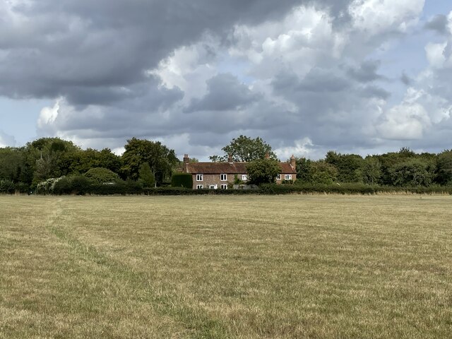
Cookley Green is a small hamlet located in the county of Oxfordshire, England. Situated approximately four miles east of the town of Watlington, Cookley Green is known for its picturesque countryside setting and tranquil atmosphere. The hamlet is nestled within the Chiltern Hills, an Area of Outstanding Natural Beauty, and is surrounded by rolling green fields and woodlands.

Cookley Green consists of a handful of traditional stone cottages and farmhouses, which contribute to the area's rural charm. The hamlet is primarily residential, with a small population of residents who enjoy the peaceful and idyllic surroundings. While there are no amenities within Cookley Green itself, the nearby town of Watlington offers a range of facilities including shops, schools, and healthcare services.

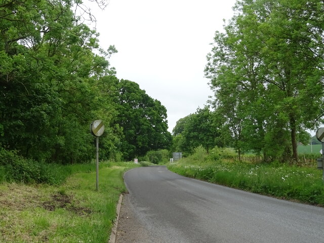
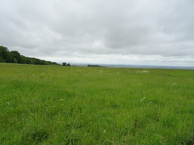
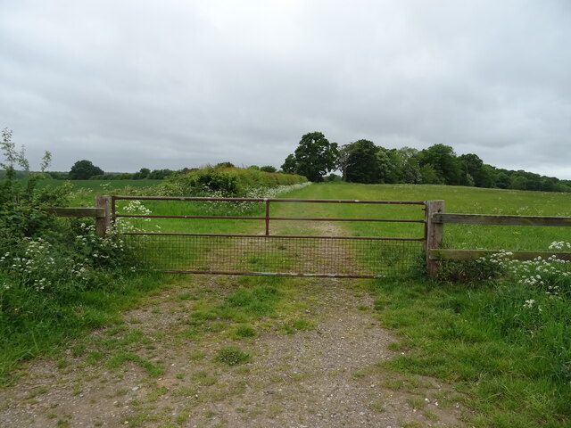
The surrounding countryside provides ample opportunities for outdoor activities, such as walking, hiking, and cycling. The Chiltern Hills offer numerous scenic trails and paths, allowing visitors to explore the natural beauty of the area. Additionally, the nearby Watlington Hill National Nature Reserve is a popular destination for wildlife enthusiasts, boasting a diverse range of flora and fauna.

Despite its small size and lack of commercial infrastructure, Cookley Green's charm lies in its rural simplicity and natural beauty. It offers a peaceful retreat for those seeking an escape from the hustle and bustle of city life, while still being within reach of essential amenities in nearby towns.

If you have any feedback on the listing, please let us know in the comments section below.

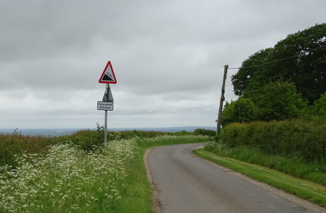
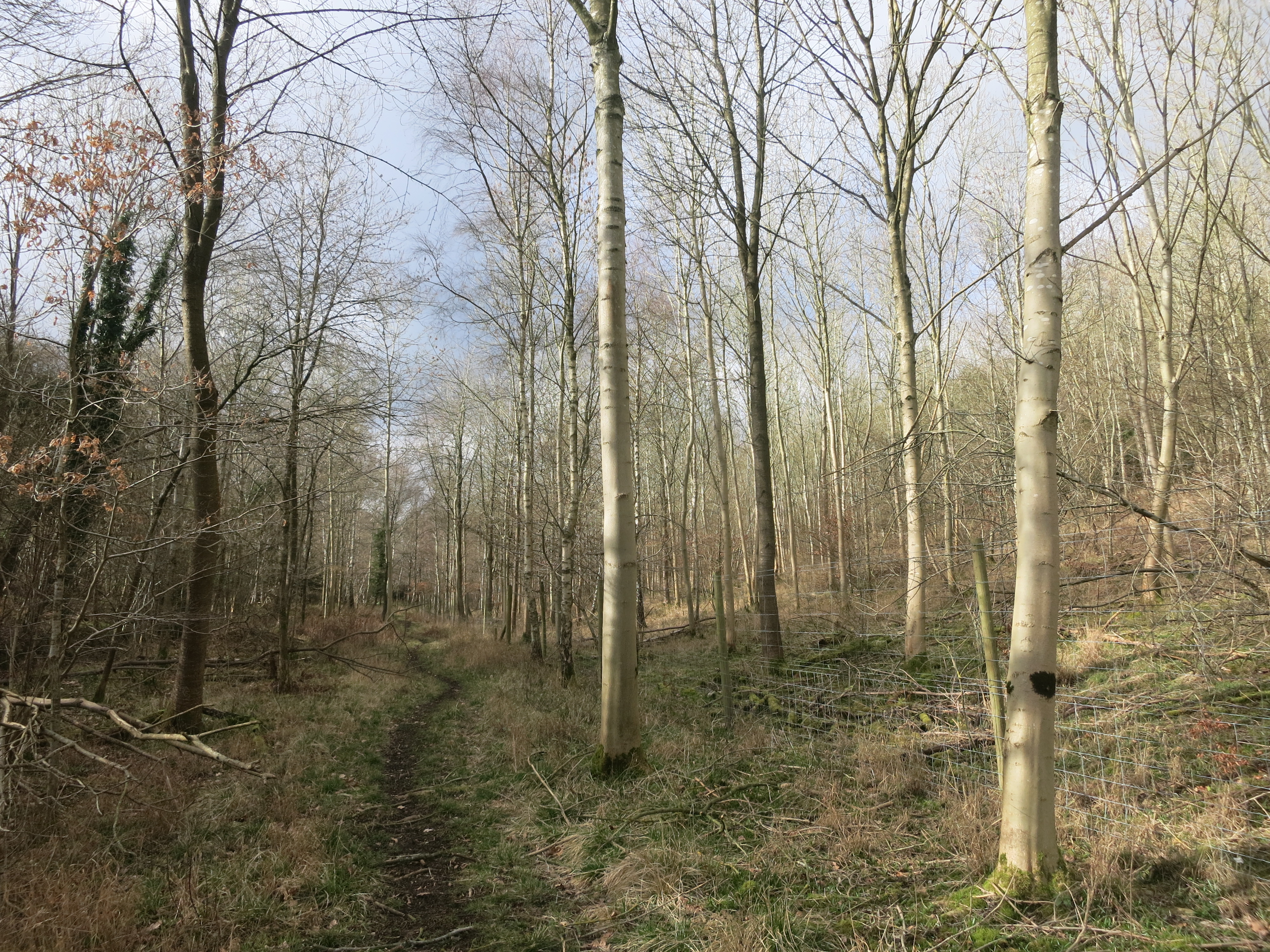
Cookley Green Images

Images are sourced within 2km of 51.607373/-0.996348 or Grid Reference SU6990. Thanks to Geograph Open Source API. All images are credited.

Ploughed field near Cookley Green
Cottages at Park Corner Looking north along the footpath from Huntercombe End.
Cottages at Park Corner
Looking north along the footpath from Huntercombe End.
Red Lane at the junction of Patemore Lane
Cereal crop off Red Lane
Red Lane (B481) Towards Cookley Green.
Red Lane (B481)
Towards Cookley Green.
Field entrance, Howe Hill Off Britwell Hill Road.
Field entrance, Howe Hill
Off Britwell Hill Road.
Britwell Hill Road Towards Britwell Hill.
Britwell Hill Road
Towards Britwell Hill.
Grassland, Britwell Hill
Gated farm track, Britwell Hill
Approaching descent of Britwell Hill
Elizabeth II postbox, Howe Hill Postbox No. OX49 566.
See <a href="https://www.geograph.org.uk/photo/7296773">SU6991 : Howe Hill (B480)</a> for context.
Elizabeth II postbox, Howe Hill
Postbox No. OX49 566. See SU6991 : Howe Hill (B480) for context.
Howe Hill (B480) Showing position of Postbox No. OX49 566.
See <a href="https://www.geograph.org.uk/photo/7296772">SU6991 : Elizabeth II postbox, Howe Hill</a> for postbox.
Howe Hill (B480)
Showing position of Postbox No. OX49 566. See SU6991 : Elizabeth II postbox, Howe Hill for postbox.
Frosty House at Cookley Green A light dusting of snow this morning brought out the usual crop of wintery scenes.
This house is facing onto the village green.
Frosty House at Cookley Green
A light dusting of snow this morning brought out the usual crop of wintery scenes. This house is facing onto the village green.
Burial Copse Woodland north of Church Lane.
Burial Copse
Woodland north of Church Lane.
Country north of Church Lane
View about  west from field gate off Church Lane
View about west from field gate off Church Lane
View towards Coates Copse In the direction of telecommunications masts in Eatonsfield Shaw.
View towards Coates Copse
In the direction of telecommunications masts in Eatonsfield Shaw.
Church Lane Towards Cookley Green.
Church Lane
Towards Cookley Green.
Show me another place!

Cookley Green is located at Grid Ref: SU6990 (Lat: 51.607373, Lng: -0.996348)

Administrative County: Oxfordshire

District: South Oxfordshire

Police Authority: Thames Valley

What 3 Words

///instructs.news.meaning. Near Watlington, Oxfordshire

Related Wikis

Swyncombe

Swyncombe is a hamlet and large civil parish in the high Chilterns, within the Area of Outstanding Natural Beauty about 4+1⁄2 miles (7 km) east of Wallingford...

Russell's Water

Russell's Water is a hamlet about 6 miles (9.7 km) north of Henley-on-Thames in South Oxfordshire. It is in the Chiltern Hills about 620 feet (190 m)...

Pishill Woods

Pishill Woods is a 42.8-hectare (106-acre) biological Site of Special Scientific Interest north of Nettlebed in Oxfordshire.These semi-natural woods have...

Swyncombe Downs

Swyncombe Downs is a 47.1-hectare (116-acre) biological Site of Special Scientific Interest east of Wallingford in Oxfordshire.This is an area of chalk...

Berrick Trench

Berrick Trench is a 2.1-hectare (5.2-acre) biological Site of Special Scientific Interest north of Nettlebed in Oxfordshire.This is an ancient semi-natural...

Watlington Park

Watlington Park is an English country house with its surrounding grounds of approximately 500 acres (200 ha), located atop an escarpment in the Chiltern...

HM Prison Huntercombe

HM Prison Huntercombe is a Category C men's prison, located near Nuffield in Oxfordshire, England. It is operated by His Majesty's Prison Service. ��2...

Nuffield Place

Nuffield Place is a country house near the village of Nuffield in the Chiltern Hills in South Oxfordshire, England, just over 4 miles (6 km) east of Wallingford...

Nearby Amenities

Located within 500m of 51.607373,-0.996348
Maxspeed: 30 mph
Traffic Sign: maxspeed
Lat/Long: 51.6076004/-0.9938417
Cookley Green
Created By: osmeditor2
Place: village
Lat/Long: 51.6063281/-0.9970787
The Green
Naptan AtcoCode: 340000229OPP
Naptan Bearing: NE
Naptan BusStopType: CUS
Naptan CommonName: The Green
Naptan Indicator: Opp Bus Shelter
Naptan Landmark: Opp Bus Shelter
Naptan NaptanCode: oxfgjwtg
Naptan Street: B481
Naptan Verified: no
Source: naptan_import
Lat/Long: 51.6061589/-0.9965869
Bus Stop
The Green
Naptan AtcoCode: 340000229V
Naptan Bearing: SW
Naptan CommonName: The Green
Naptan Indicator: Bus Shelter
Naptan Landmark: Bus Shelter
Naptan NaptanCode: oxfajwaw
Naptan Street: B481
Naptan Verified: no
Shelter: yes
Source: naptan_import
Lat/Long: 51.6061227/-0.9965588
Maxspeed: 30 mph
Traffic Sign: maxspeed
Lat/Long: 51.6034124/-0.9976146
Historic: memorial
Memorial: war_memorial
Lat/Long: 51.6059511/-0.9973455
Power: pole
Source: Bing
Lat/Long: 51.6057128/-0.9898801
Power: pole
Source: Bing
Lat/Long: 51.6078049/-0.991334
Power: pole
Source: Bing
Lat/Long: 51.6102734/-0.9919911
Power: pole
Source: Bing
Lat/Long: 51.6098721/-0.9918972
Power: pole
Source: Bing
Lat/Long: 51.6067722/-0.9910872
Power: pole
Source: Bing
Lat/Long: 51.6088459/-0.9916022
Barrier: stile
Foot: yes
Material: wood
Stile: stepover
Lat/Long: 51.6057726/-0.9898345
Barrier: stile
Foot: yes
Material: wood
Stile: stepover
Lat/Long: 51.6057996/-0.9912577
Power: pole
Lat/Long: 51.6067155/-0.9933159
Power: pole
Lat/Long: 51.6064839/-0.9927955
Power: pole
Lat/Long: 51.6061258/-0.9918594
Power: pole
Lat/Long: 51.6059675/-0.991441
Power: pole
Lat/Long: 51.6054861/-0.989998
Turning Circle
Turning Circle: circle
Lat/Long: 51.6089934/-0.9980796
Power: pole
Lat/Long: 51.6075693/-0.9971065
Power: pole
Lat/Long: 51.6082293/-0.9975621
Power: pole
Lat/Long: 51.6088929/-0.9980255
Power: pole
Lat/Long: 51.6069146/-0.9966671
Man Made: utility_pole
Lat/Long: 51.6054111/-0.998906
The data included in this document is from www.openstreetmap.org. The data is made available under ODbL.

Have you been to Cookley Green?

Leave your review of Cookley Green below (or comments, questions and feedback).