Burial Copse
Wood, Forest in Oxfordshire South Oxfordshire
England
Burial Copse

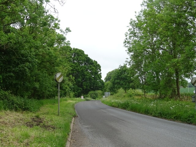
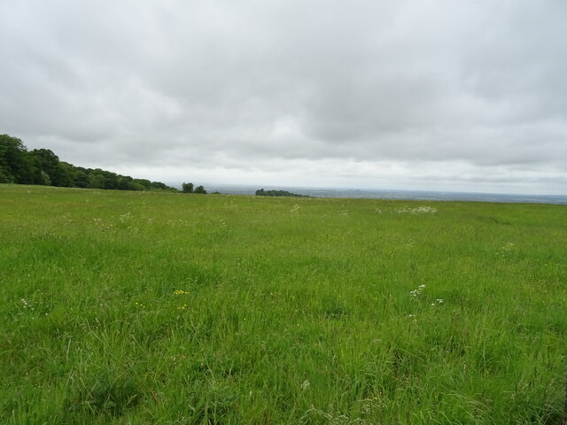
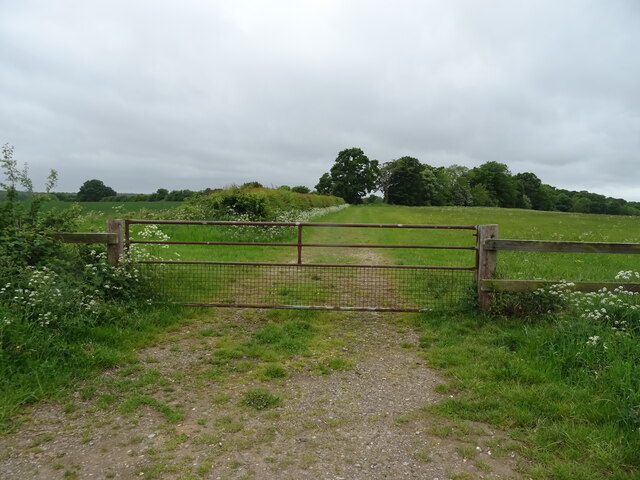
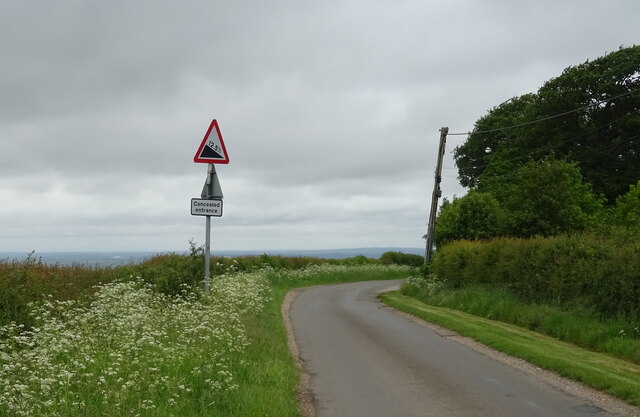
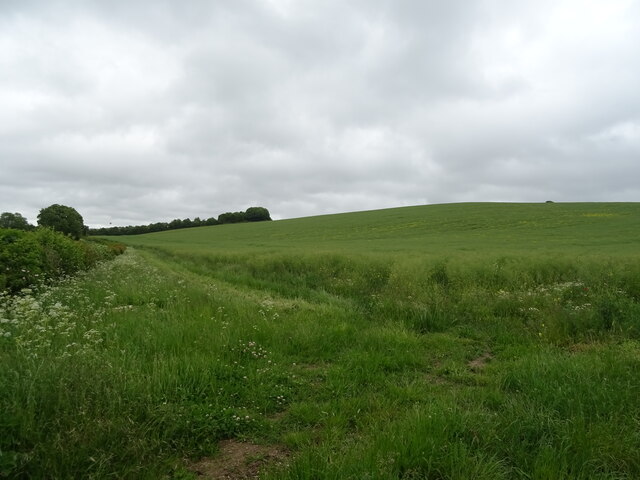
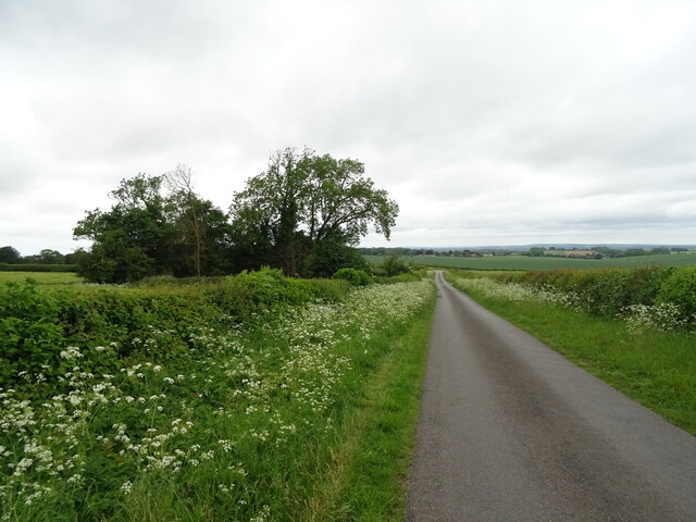
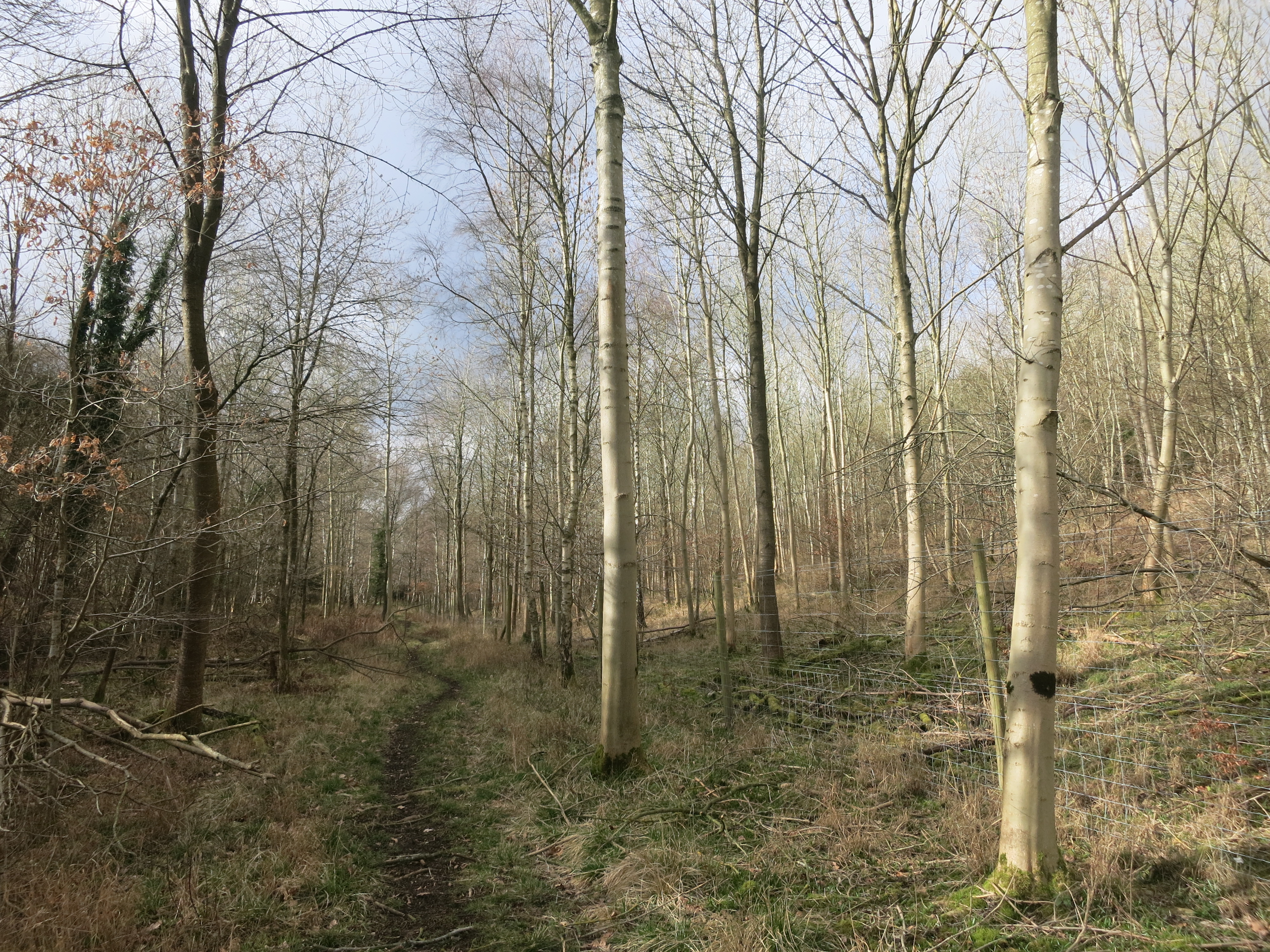
Burial Copse is a picturesque woodland located in the county of Oxfordshire, England. Situated near the village of Burford, this enchanting forest covers an area of approximately 50 acres and is renowned for its natural beauty and historical significance.
The copse is predominantly composed of a variety of native tree species, including oak, beech, and ash. The dense canopy of foliage creates a serene and tranquil atmosphere, making it an ideal retreat for nature enthusiasts and hikers alike. The forest floor is adorned with a carpet of vibrant wildflowers, adding to the charm and allure of the landscape.
One of the notable features of Burial Copse is its historical significance. It is believed to have been a burial ground during ancient times, with archaeological evidence suggesting that it has been used for this purpose for over a thousand years. The presence of ancient burial mounds and artifacts further adds to the mystique and fascination surrounding this woodland.
Visitors to Burial Copse can enjoy a variety of recreational activities, such as walking, birdwatching, and photography. The forest is teeming with wildlife, including deer, foxes, and a wide array of bird species, making it a perfect spot for nature lovers and wildlife enthusiasts.
With its natural beauty, historical significance, and diverse ecosystem, Burial Copse in Oxfordshire offers a captivating and enriching experience for all who visit.
If you have any feedback on the listing, please let us know in the comments section below.
Burial Copse Images
Images are sourced within 2km of 51.608356/-1.0045044 or Grid Reference SU6990. Thanks to Geograph Open Source API. All images are credited.


Burial Copse is located at Grid Ref: SU6990 (Lat: 51.608356, Lng: -1.0045044)
Administrative County: Oxfordshire
District: South Oxfordshire
Police Authority: Thames Valley
What 3 Words
///numeral.regaining.motivate. Near Watlington, Oxfordshire
Nearby Locations
Related Wikis

Swyncombe
Swyncombe is a hamlet and large civil parish in the high Chilterns, within the Area of Outstanding Natural Beauty about 4+1⁄2 miles (7 km) east of Wallingford...

Swyncombe Downs
Swyncombe Downs is a 47.1-hectare (116-acre) biological Site of Special Scientific Interest east of Wallingford in Oxfordshire.This is an area of chalk...

Russell's Water
Russell's Water is a hamlet about 6 miles (9.7 km) north of Henley-on-Thames in South Oxfordshire. It is in the Chiltern Hills about 620 feet (190 m)...
Pishill Woods
Pishill Woods is a 42.8-hectare (106-acre) biological Site of Special Scientific Interest north of Nettlebed in Oxfordshire.These semi-natural woods have...

HM Prison Huntercombe
HM Prison Huntercombe is a Category C men's prison, located near Nuffield in Oxfordshire, England. It is operated by His Majesty's Prison Service. ��2...

Watlington Park
Watlington Park is an English country house with its surrounding grounds of approximately 500 acres (200 ha), located atop an escarpment in the Chiltern...

Berrick Trench
Berrick Trench is a 2.1-hectare (5.2-acre) biological Site of Special Scientific Interest north of Nettlebed in Oxfordshire.This is an ancient semi-natural...

Nuffield Place
Nuffield Place is a country house near the village of Nuffield in the Chiltern Hills in South Oxfordshire, England, just over 4 miles (6 km) east of Wallingford...
Nearby Amenities
Located within 500m of 51.608356,-1.0045044Have you been to Burial Copse?
Leave your review of Burial Copse below (or comments, questions and feedback).