Crow Holt

Wood, Forest in Nottinghamshire Rushcliffe

England

Crow Holt

View into SK7034 New Road just clips the north west corner of the square at this point, so this view covers most of the square.
View into SK7034 Credit: Alan Murray-Rust

Crow Holt is a quaint village located in the county of Nottinghamshire, England. Situated within the district of Bassetlaw, it is nestled amidst the scenic woodlands and forests that give it its distinct character. The village is home to a small but tight-knit community, with a population of approximately 500 residents.

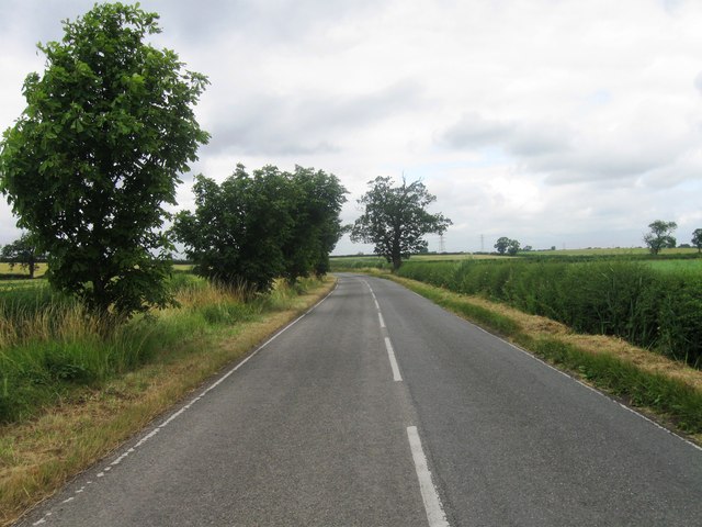
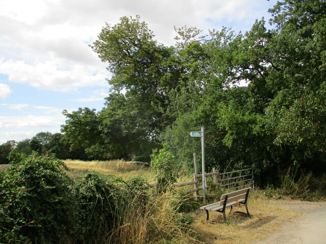
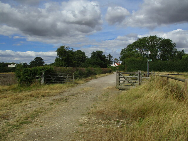
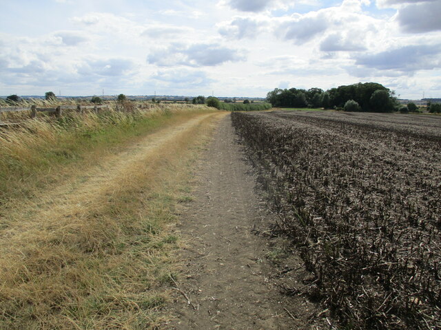
Surrounded by lush greenery, Crow Holt offers its inhabitants a peaceful and idyllic setting. The village is renowned for its natural beauty, with sprawling woodlands and forests providing ample opportunities for outdoor activities such as hiking, cycling, and bird-watching. The diverse array of flora and fauna found in the area adds to its charm and attracts nature enthusiasts from far and wide.

Despite its rural setting, Crow Holt is well-connected to nearby towns and villages, with good transportation links. The village features a few local amenities, including a small convenience store, a primary school, and a community center. The residents often come together for various events and activities organized by the community, fostering a strong sense of belonging.

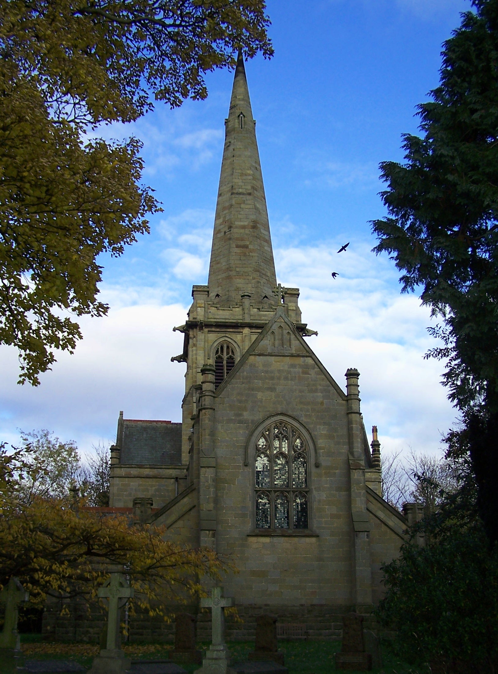
The history of Crow Holt can be traced back several centuries, with evidence of human activity in the area dating back to the Roman era. The village has managed to preserve its historic charm, with several old buildings and landmarks adding to its character. The local church, St. Mary's, is a notable architectural gem that attracts visitors interested in the village's heritage.

In conclusion, Crow Holt is a picturesque village in Nottinghamshire, known for its natural beauty and close-knit community. With its serene woodlands, historic landmarks, and vibrant community spirit, it offers a peaceful and charming place to call home.

If you have any feedback on the listing, please let us know in the comments section below.
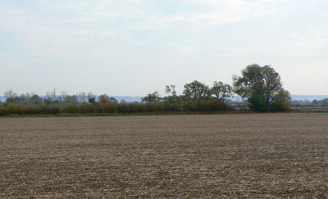
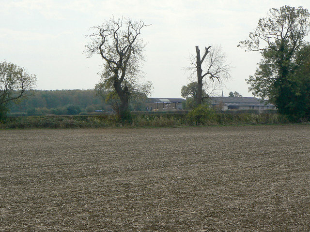
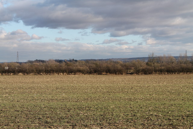
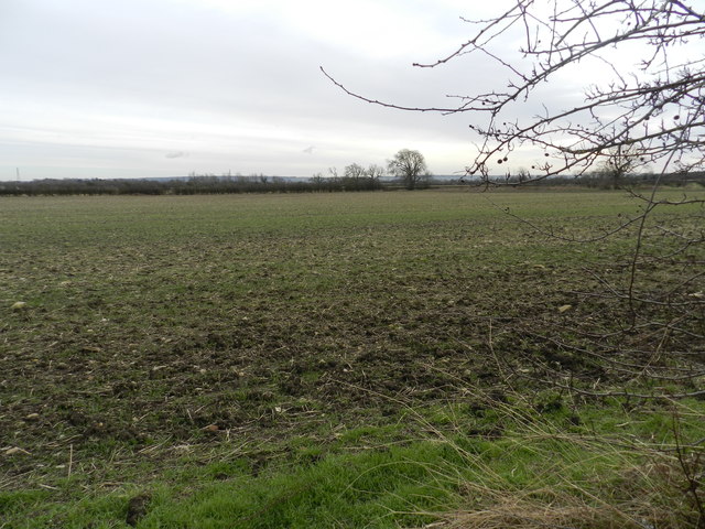
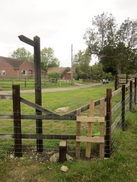
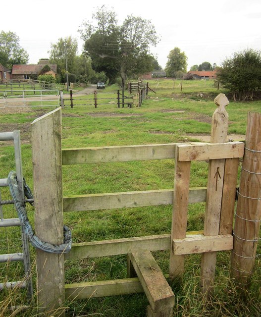
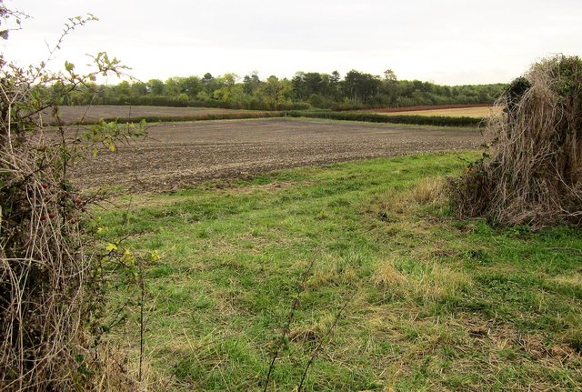
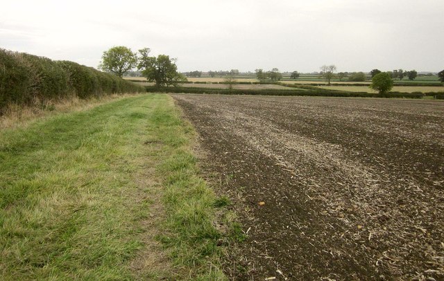
Crow Holt Images

Images are sourced within 2km of 52.89243/-0.97521122 or Grid Reference SK6933. Thanks to Geograph Open Source API. All images are credited.

View into SK7034 New Road just clips the north west corner of the square at this point, so this view covers most of the square.
View into SK7034
New Road just clips the north west corner of the square at this point, so this view covers most of the square.
View towards Edmondthorpe Lodge Looking virtually due south, almost along the grid line.
View towards Edmondthorpe Lodge
Looking virtually due south, almost along the grid line.
Fields near Edmondthorpe Lodge From New Road.
Fields near Edmondthorpe Lodge
From New Road.
Arable land, off New Road
Harby Lane
Harby Lane
Colston Bassett
Colston Bassett
Colston Bassett & District Dairy Ltd One of the main producers of traditional Stilton cheese.
Colston Bassett & District Dairy Ltd
One of the main producers of traditional Stilton cheese.
Colston Bassett village entrance sign This features the old village cross and the cows which produce milk for the local cheesemaking. Mounted on a tall pole rather than the twin short posts characteristic of most of these new signs.
Colston Bassett village entrance sign
This features the old village cross and the cows which produce milk for the local cheesemaking. Mounted on a tall pole rather than the twin short posts characteristic of most of these new signs.
Church Gate, Colston Bassett With Colston Bassett footpath 1 leaving on the left, and Yew Cottage on the right.
Church Gate, Colston Bassett
With Colston Bassett footpath 1 leaving on the left, and Yew Cottage on the right.
Bakers Lane, Colston Bassett At the junction with Bunnison Lane. On the right is the wall mentioned at <a href="https://www.geograph.org.uk/photo/1833466">SK7033 : Bunnison Lane, Colston Bassett</a>.
Bakers Lane, Colston Bassett
At the junction with Bunnison Lane. On the right is the wall mentioned at SK7033 : Bunnison Lane, Colston Bassett.
Wall, Colston Bassett The brick wall on a stone footing is also shown in <a href="https://www.geograph.org.uk/photo/1833466">SK7033 : Bunnison Lane, Colston Bassett</a>, taken at the same spot on Bunnison Lane.
Wall, Colston Bassett
The brick wall on a stone footing is also shown in SK7033 : Bunnison Lane, Colston Bassett, taken at the same spot on Bunnison Lane.
Stile, Colston Bassett Whoever designed this stile obviously didn't bother to try and use it. The worst feature is the single crosspiece which is too low; this problem is exacerbated by the extraordinary decision to have the top rung v-shaped and sloping upwards. Getting your trailing leg over the top is extremely awkward. This looks a fairly recent stile; ironically, the 2009 Conservation Area Apprailsal and management Plan acknowledged that "public footpaths and other rights of way within and adjacent to the Conservation Area play a vital role in allowing people to enjoy and experience the area. It is important that these paths are well maintained, clearly marked and made accessible ...  Footpaths and pavements are in poor condition in places" <span class="nowrap"><a title="http://www.rushcliffe.gov.uk/media/rushcliffe/media/documents/pdf/planningandbuilding/conservationareas/Colston_Bassett_Conservation_Area_Appraisal_and_Management_Plan.pdf" rel="nofollow ugc noopener" href="http://www.rushcliffe.gov.uk/media/rushcliffe/media/documents/pdf/planningandbuilding/conservationareas/Colston_Bassett_Conservation_Area_Appraisal_and_Management_Plan.pdf">Link</a><img style="margin-left:2px;" alt="External link" title="External link - shift click to open in new window" src="https://s1.geograph.org.uk/img/external.png" width="10" height="10"/></span> . The right of way is Colston Bassett footpath 9; in the background are houses on Bunnison Lane.
Stile, Colston Bassett
Whoever designed this stile obviously didn't bother to try and use it. The worst feature is the single crosspiece which is too low; this problem is exacerbated by the extraordinary decision to have the top rung v-shaped and sloping upwards. Getting your trailing leg over the top is extremely awkward. This looks a fairly recent stile; ironically, the 2009 Conservation Area Apprailsal and management Plan acknowledged that "public footpaths and other rights of way within and adjacent to the Conservation Area play a vital role in allowing people to enjoy and experience the area. It is important that these paths are well maintained, clearly marked and made accessible ... Footpaths and pavements are in poor condition in places" LinkExternal link . The right of way is Colston Bassett footpath 9; in the background are houses on Bunnison Lane.
Stiles, Colston Bassett In the background is the awkward stile shown in <a href="https://www.geograph.org.uk/photo/4208593">SK7033 : Stile, Colston Bassett</a>, in the foreground is another one. Again the single crosspiece is far too low for comfort. On the right are buildings at Manor House Farm.
Stiles, Colston Bassett
In the background is the awkward stile shown in SK7033 : Stile, Colston Bassett, in the foreground is another one. Again the single crosspiece is far too low for comfort. On the right are buildings at Manor House Farm.
Towards Kaye Wood From a gateway on Colston Bassett footpath 9. <a href="https://www.geograph.org.uk/photo/4208720">SK7032 : Field by Harby Lane</a> shows the view to the left through the gateway.
Towards Kaye Wood
From a gateway on Colston Bassett footpath 9. SK7032 : Field by Harby Lane shows the view to the left through the gateway.
Field by Harby Lane With a generous headland. Harby Lane runs along the far edge of the field. Taken just through the gateway shown in <a href="https://www.geograph.org.uk/photo/4208707">SK7032 : Towards Kaye Wood</a>.
Field by Harby Lane
With a generous headland. Harby Lane runs along the far edge of the field. Taken just through the gateway shown in SK7032 : Towards Kaye Wood.
Bench and footpath sign, Colston Bassett
Approaching Colston Bassett On a bridleway from Kinoulton.
Approaching Colston Bassett
On a bridleway from Kinoulton.
Bridleway to Kinoulton and harvested bean field
Show me another place!

Crow Holt is located at Grid Ref: SK6933 (Lat: 52.89243, Lng: -0.97521122)

Administrative County: Nottinghamshire

District: Rushcliffe

Police Authority: Nottinghamshire

What 3 Words

///amphibian.vibrates.charted. Near Cropwell Bishop, Nottinghamshire

Related Wikis

St John's Church, Colston Bassett

St John's Church, Colston Bassett is an English parish church of the Church of England in Colston Bassett, Nottinghamshire. It is Grade II listed by the...
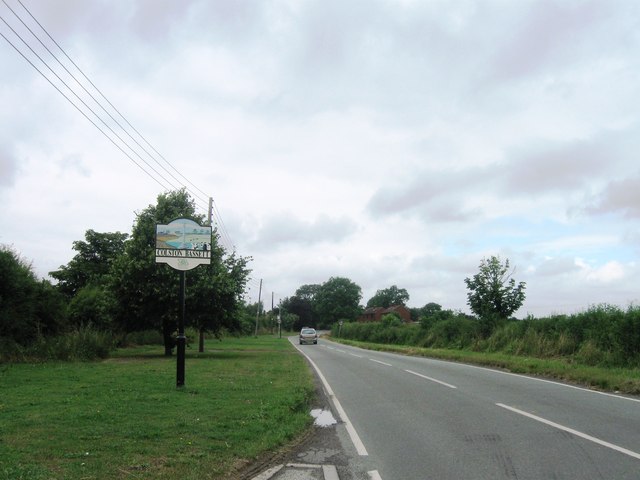
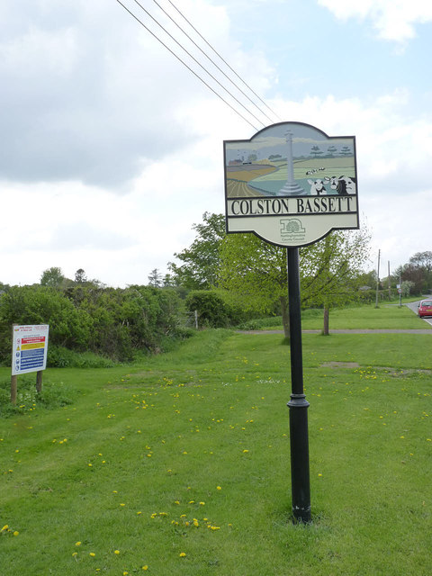
Colston Bassett

Colston Bassett is an English village in the Vale of Belvoir, in the Rushcliffe district of south-east Nottinghamshire, close to its border with Leicestershire...

St Margaret's Church, Owthorpe

St Margaret's Church, Owthorpe is a Grade II* listed parish church in the Church of England in Owthorpe, Nottinghamshire, England. Owthorpe has an unusual...

Scunthorpe Mudstone

The Scunthorpe Mudstone is a geologic formation in England. It preserves plesiosaur fossils dating back to the Late Triassic (Rhaetian) to Early Jurassic...

Owthorpe

Owthorpe is a small English village and civil parish in the Wolds of the East Midland county of Nottinghamshire. The population of about 90 was included...

St Giles's Church, Cropwell Bishop

St Giles' Church, Cropwell Bishop, is a Church of England parish church in the village of Cropwell Bishop, Nottinghamshire, England. The building is Grade...

Cropwell Bishop

Cropwell Bishop is a village and civil parish in the borough of Rushcliffe in Nottinghamshire. The population taken at the 2011 Census was 1,853. The village...

Kinoulton

Kinoulton is a village, civil parish and ecclesiastical parish in Nottinghamshire, England, 10 miles (16 km) south east of the city of Nottingham. It is...

Nearby Amenities

Located within 500m of 52.89243,-0.97521122
Generator Method: photovoltaic
Generator Output Electricity: yes
Generator Source: solar
Generator Type: solar_photovoltaic_panel
Location: roof
Power: generator
Lat/Long: 52.8956066/-0.9706003
Generator Method: photovoltaic
Generator Output Electricity: yes
Generator Source: solar
Generator Type: solar_photovoltaic_panel
Location: roof
Power: generator
Lat/Long: 52.8956584/-0.9707129
Traffic Sign: yes
Lat/Long: 52.8946844/-0.9734106
Traffic Sign: yes
Lat/Long: 52.8946826/-0.9733218
The data included in this document is from www.openstreetmap.org. The data is made available under ODbL.

Have you been to Crow Holt?

Leave your review of Crow Holt below (or comments, questions and feedback).