Wash Pit Spinney
Downs, Moorland in Nottinghamshire Rushcliffe
England
Wash Pit Spinney

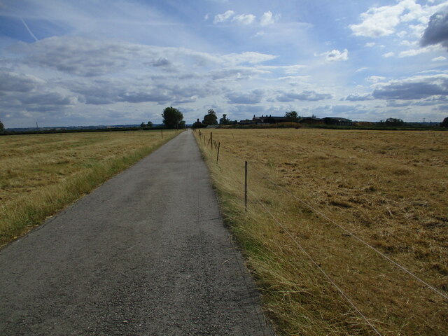
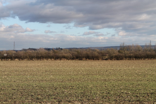
Wash Pit Spinney is a nature reserve located in Nottinghamshire, England. The spinney encompasses a diverse range of landscapes, including downs and moorland. It is situated in the heart of the county, making it easily accessible to visitors from Nottingham and other surrounding areas.
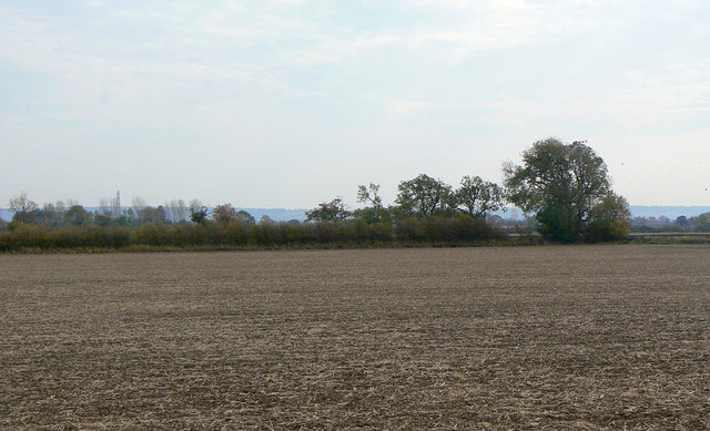
The spinney is characterized by its lush greenery and scenic beauty. It is home to a wide variety of flora and fauna, including ancient oak trees, wildflowers, and various species of birds and butterflies. This makes it a haven for nature enthusiasts and birdwatchers who can enjoy the serene surroundings and observe the local wildlife.
The spinney offers a tranquil escape from the hustle and bustle of city life, providing visitors with the opportunity to explore its extensive network of walking trails. These pathways wind through the diverse landscapes, allowing visitors to immerse themselves in the natural beauty of the area. The downs and moorland provide stunning panoramic views, making it an ideal spot for photography enthusiasts.
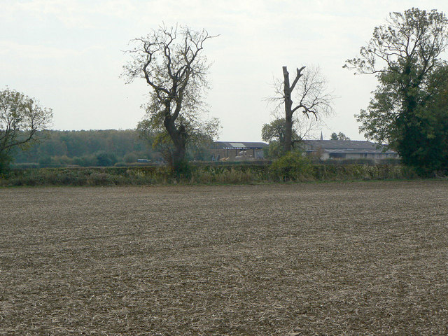
In addition to its natural beauty, Wash Pit Spinney also has historical significance. It is believed that the site was once used as a coal mining area, with evidence of old mining pits and shafts. This adds an element of depth and intrigue to the spinney, attracting history enthusiasts and those interested in learning about the region's industrial past.
Overall, Wash Pit Spinney is a hidden gem in Nottinghamshire, offering a blend of natural splendor, recreational activities, and historical significance. It is a place where visitors can reconnect with nature, unwind, and explore the rich biodiversity of the area.
If you have any feedback on the listing, please let us know in the comments section below.
Wash Pit Spinney Images
Images are sourced within 2km of 52.896177/-0.96265076 or Grid Reference SK6933. Thanks to Geograph Open Source API. All images are credited.


Wash Pit Spinney is located at Grid Ref: SK6933 (Lat: 52.896177, Lng: -0.96265076)
Administrative County: Nottinghamshire
District: Rushcliffe
Police Authority: Nottinghamshire
What 3 Words
///juices.stump.chainsaw. Near Cropwell Bishop, Nottinghamshire
Related Wikis
Colston Bassett
Colston Bassett is an English village in the Vale of Belvoir, in the Rushcliffe district of south-east Nottinghamshire, close to its border with Leicestershire...
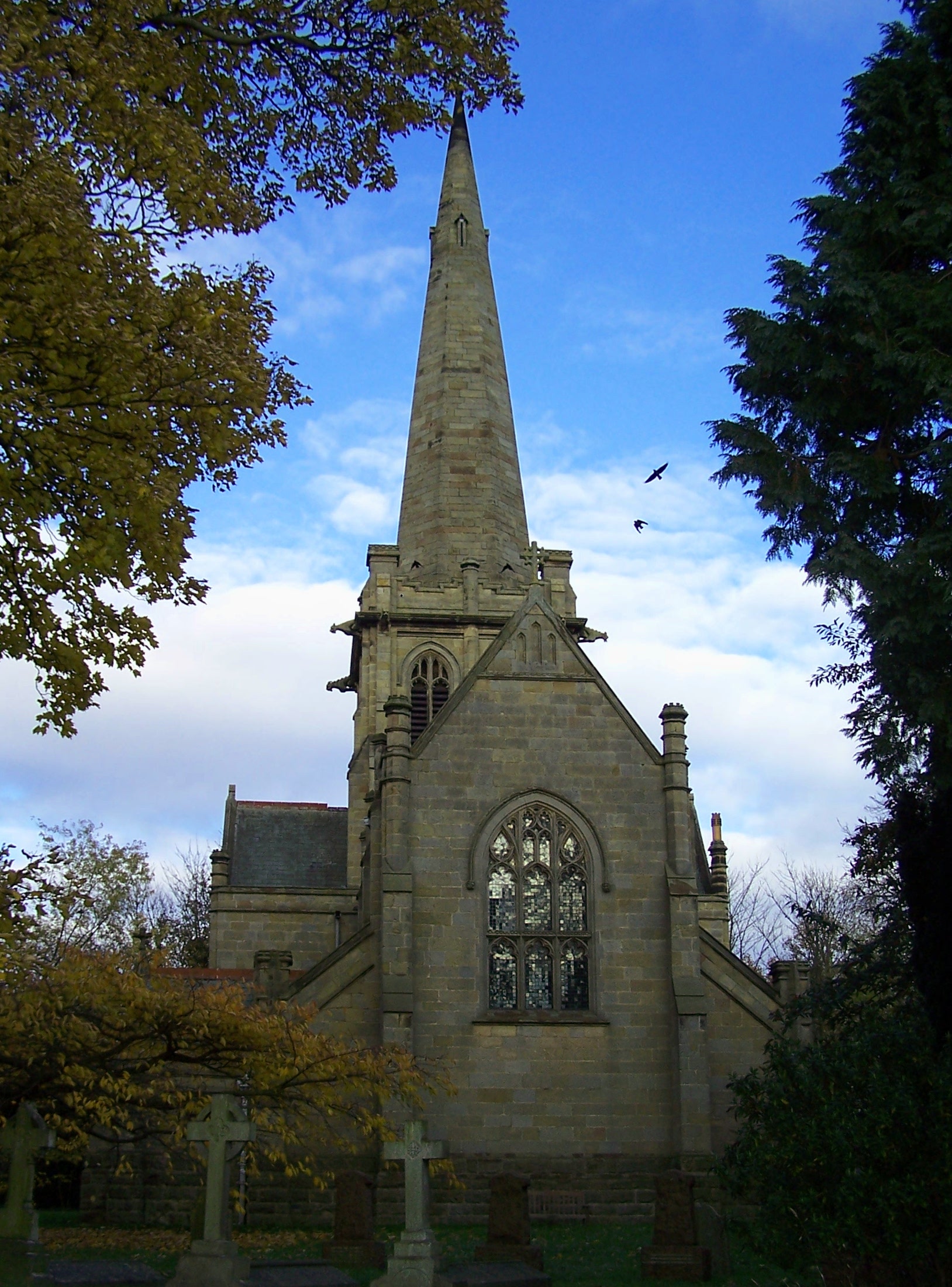
St John's Church, Colston Bassett
St John's Church, Colston Bassett is an English parish church of the Church of England in Colston Bassett, Nottinghamshire. It is Grade II listed by the...

St Giles's Church, Cropwell Bishop
St Giles' Church, Cropwell Bishop, is a Church of England parish church in the village of Cropwell Bishop, Nottinghamshire, England. The building is Grade...

Langar Hall
Langar Hall is a Grade II listed house, now a hotel, next to the church in Langar, Nottinghamshire.The current building dates back to the 18th century...

Cropwell Bishop
Cropwell Bishop is a village and civil parish in the borough of Rushcliffe in Nottinghamshire. The population taken at the 2011 Census was 1,853. The village...

St Andrew's Church, Langar
St Andrew's Church, Langar-cum-Barnstone, is a parish church in the Church of England in Langar, Nottinghamshire. It is Grade I listed as a building of...
Scunthorpe Mudstone
The Scunthorpe Mudstone is a geologic formation in England. It preserves plesiosaur fossils dating back to the Late Triassic (Rhaetian) to Early Jurassic...

Langar, Nottinghamshire
Langar is an English village in the Vale of Belvoir, about four miles (6.4 km) south of Bingham, in the Rushcliffe borough of Nottinghamshire. The civil...
Nearby Amenities
Located within 500m of 52.896177,-0.96265076Have you been to Wash Pit Spinney?
Leave your review of Wash Pit Spinney below (or comments, questions and feedback).