North Wood

Wood, Forest in Hampshire East Hampshire

England

North Wood

Southwood Road passing Applesome Wood
Southwood Road passing Applesome Wood Credit: Mr Ignavy

North Wood is a charming village located in Hampshire, England. Nestled among the rolling hills and lush landscapes of the Hampshire countryside, this idyllic village is known for its serene atmosphere and natural beauty. The village is situated within the larger New Forest National Park, which is renowned for its ancient woodlands and diverse wildlife.

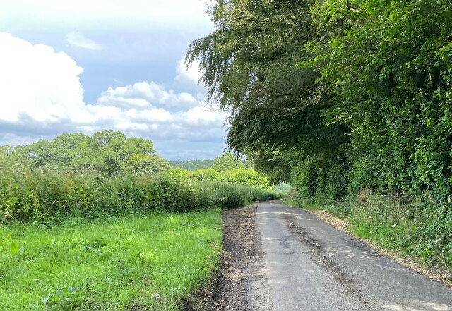
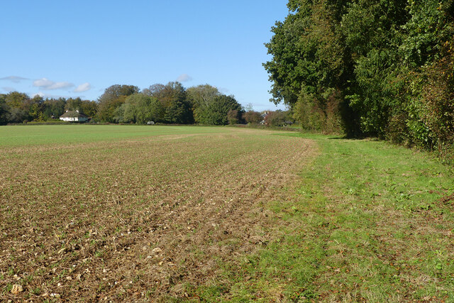
North Wood is characterized by its dense, verdant forests, which are predominantly composed of oak, beech, and birch trees. These woodlands provide a haven for a wide array of wildlife, including deer, foxes, badgers, and a variety of bird species. The village is also home to several picturesque ponds and streams, which further enhance its natural allure.

The village itself is small and has a close-knit community, fostering a strong sense of community spirit amongst its residents. The charming cottages and houses in North Wood exude a traditional English countryside aesthetic, with many properties featuring thatched roofs and flower-filled gardens.

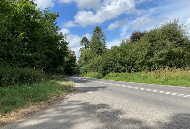
North Wood offers a range of outdoor activities for nature enthusiasts, such as hiking, cycling, and horseback riding. There are numerous footpaths and bridleways that crisscross the surrounding woodlands, allowing visitors to explore the area's natural wonders.

In addition to its natural beauty, North Wood is also within proximity to other attractions in Hampshire. The historic city of Winchester, with its impressive cathedral and medieval charm, is just a short drive away, making North Wood an ideal base for exploring the region.

Overall, North Wood is a picturesque village that offers a tranquil retreat for those seeking to immerse themselves in the beauty of the Hampshire countryside.

If you have any feedback on the listing, please let us know in the comments section below.
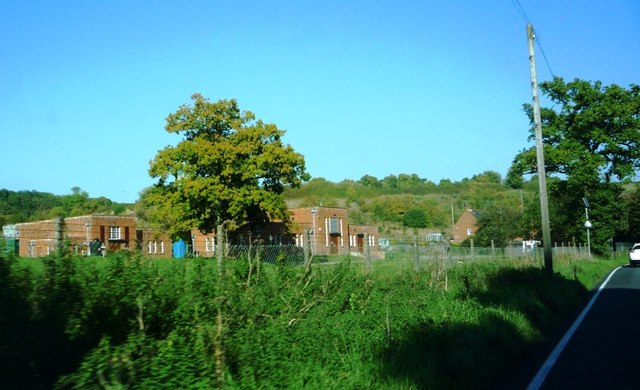
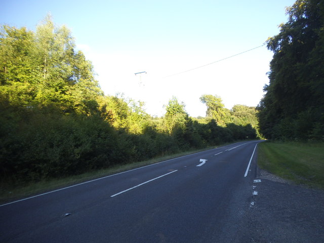
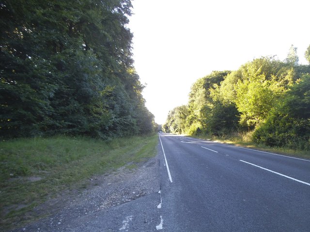
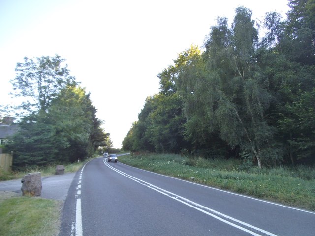
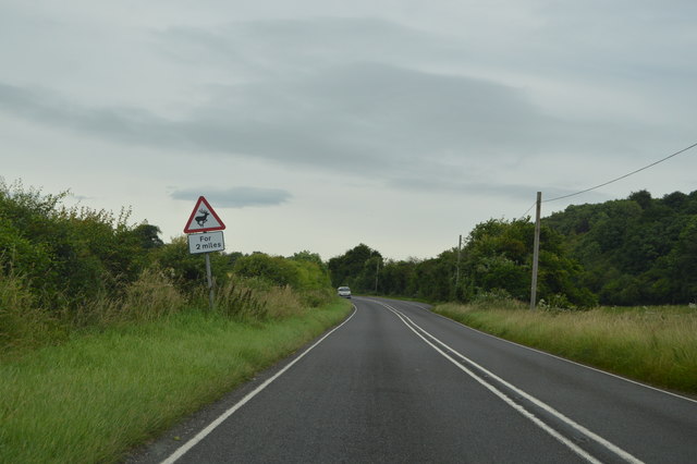
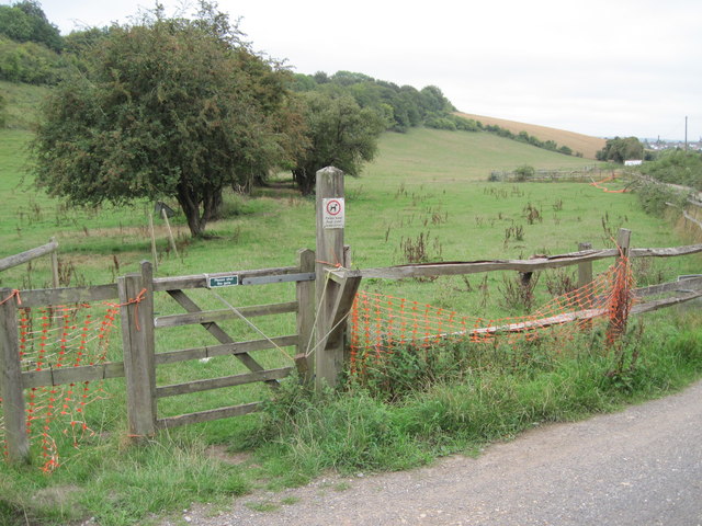
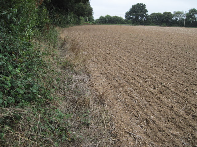
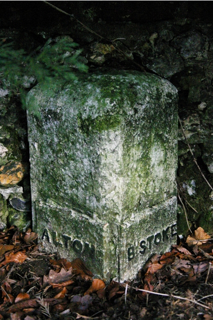
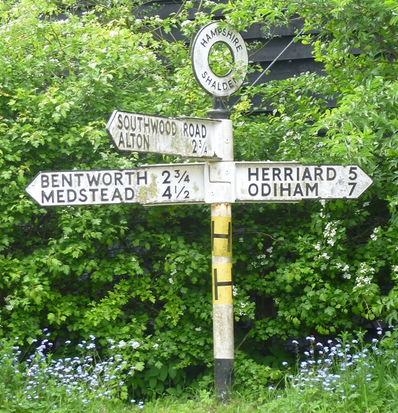
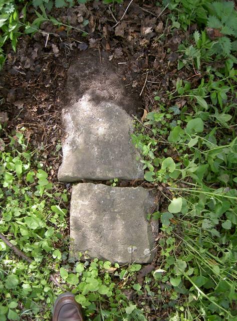
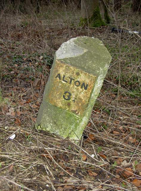
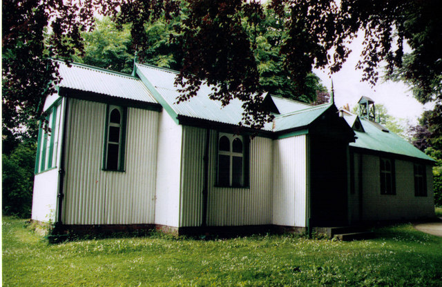
North Wood Images

Images are sourced within 2km of 51.158659/-1.0140398 or Grid Reference SU6940. Thanks to Geograph Open Source API. All images are credited.

Southwood Road passing Applesome Wood
New Odiham Road (B3349)
Farmland, Shalden With a footpath beside the edge of Pancake Copse.
Farmland, Shalden
With a footpath beside the edge of Pancake Copse.
A339 at Lasham Water Treatment Works
Basingstoke Road at the junction of Well Lane
Basingstoke Road near Bentworth
Basingstoke Road, Bentworth
Basingstoke Road, Bentworth Warren Farm is on the left
Basingstoke Road, Bentworth
Warren Farm is on the left
New Odiham Rd The B3349 runs 27 miles from Alton <a href="https://www.geograph.org.uk/photo/5212600">SU7038 : Junction of A339 & B3349</a> to Wokingham.
<span class="nowrap"><a title="http://www.sabre-roads.org.uk/wiki/index.php?title=B3349" rel="nofollow ugc noopener" href="http://www.sabre-roads.org.uk/wiki/index.php?title=B3349">Link</a><img style="margin-left:2px;" alt="External link" title="External link - shift click to open in new window" src="https://s1.geograph.org.uk/img/external.png" width="10" height="10"/></span>
New Odiham Rd
The B3349 runs 27 miles from Alton SU7038 : Junction of A339 & B3349 to Wokingham. LinkExternal link
Lane to Lasham Signed, at least at the A339 end, 'No motor vehicles except for access', probably to inhibit through traffic to Lasham airfield.
Lane to Lasham
Signed, at least at the A339 end, 'No motor vehicles except for access', probably to inhibit through traffic to Lasham airfield.
Path towards Alton from Greenmount Farm
Footpath near Pancake Copse
Old Milestone by the A339, Warren Farm, Lasham Parish Metal plates attached to concrete post by the A339, in parish of LASHAM (EAST HAMPSHIRE District), Warren Farm, built in to the flint and brick wall in front of the farm house, on East side of road. Candover block, erected by the Basingstoke, Preston Candover & Alton turnpike trust in the 19th century. 

Inscription reads:-
: ALTON / 2 : : B'STOKE / 9 :    

Milestone Society National ID: HA_BAAL09.
Old Milestone by the A339, Warren Farm, Lasham Parish
Metal plates attached to concrete post by the A339, in parish of LASHAM (EAST HAMPSHIRE District), Warren Farm, built in to the flint and brick wall in front of the farm house, on East side of road. Candover block, erected by the Basingstoke, Preston Candover & Alton turnpike trust in the 19th century. Inscription reads:- : ALTON / 2 : : B'STOKE / 9 : Milestone Society National ID: HA_BAAL09.
Direction Sign - Signpost at Manor Farm on Shalden Lane Annulus finial - 3 arms; Hampshire Parish halo by the UC road, in parish of Shalden (East Hampshire District), on the west side of the T-junction of Shalden Lane and Southwood Road at Manor Farm.

Surveyed

Milestone Society National ID: HA_SU6942
Direction Sign - Signpost at Manor Farm on Shalden Lane
Annulus finial - 3 arms; Hampshire Parish halo by the UC road, in parish of Shalden (East Hampshire District), on the west side of the T-junction of Shalden Lane and Southwood Road at Manor Farm. Surveyed Milestone Society National ID: HA_SU6942
Old Milestone by the B3349, near Greenmount Farm, Alton parish Carved stone post by the B3349, in parish of ALTON (EAST HAMPSHIRE District), Greenmount Farm, on grass verge immediately opposite the entrance to Greenmount Farm, on West side of New Odiham Road. Hook pillar, erected by the Basingstoke, Hartfordbridge & Blackwater (and Odiham) turnpike trust in the 19th century. 

Inscription once read:-
From
ODIHAM
7
Miles
To
ALTON
1
Mile 

Milestone Society National ID: HA_ODAL07.
Old Milestone by the B3349, near Greenmount Farm, Alton parish
Carved stone post by the B3349, in parish of ALTON (EAST HAMPSHIRE District), Greenmount Farm, on grass verge immediately opposite the entrance to Greenmount Farm, on West side of New Odiham Road. Hook pillar, erected by the Basingstoke, Hartfordbridge & Blackwater (and Odiham) turnpike trust in the 19th century. Inscription once read:- From ODIHAM 7 Miles To ALTON 1 Mile Milestone Society National ID: HA_ODAL07.
Old Milestone by the A339, Wadgetts Copse, Lasham parish Metal plate attached to concrete post by the A339, in parish of Lasham (East Hampshire District), Wadgetts Copse, opposite side to water works, on grass verge, on Southeast side of road. Candover block, erected by the Basingstoke, Preston Candover & Alton turnpike trust in the 19th century. 

Inscription reads:-
: (Basingstoke / 8) : : ALTON / 3¼ :

Milestone Society National ID: HA_BAAL08
Old Milestone by the A339, Wadgetts Copse, Lasham parish
Metal plate attached to concrete post by the A339, in parish of Lasham (East Hampshire District), Wadgetts Copse, opposite side to water works, on grass verge, on Southeast side of road. Candover block, erected by the Basingstoke, Preston Candover & Alton turnpike trust in the 19th century. Inscription reads:- : (Basingstoke / 8) : : ALTON / 3¼ : Milestone Society National ID: HA_BAAL08
Show me another place!

North Wood is located at Grid Ref: SU6940 (Lat: 51.158659, Lng: -1.0140398)

Administrative County: Hampshire

District: East Hampshire

Police Authority: Hampshire

What 3 Words

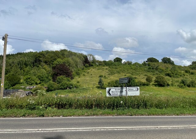
///retaliate.steams.paint. Near Alton, Hampshire

Related Wikis

Thedden

Thedden is a hamlet in the large civil parish of Bentworth in Hampshire, England, about 1.3 miles (2.1 km) south east of the centre of Bentworth village...

Beech, Hampshire

Beech is a village and civil parish in the East Hampshire district of Hampshire, England. It lies 2 miles (3 km) west of Alton, just west of the A339 road...

Shalden

Shalden is a village and civil parish in the East Hampshire district of Hampshire, England. It is 2.3 miles (3.7 km) northwest of Alton and 1.9 miles...

Lasham

Lasham is a village and civil parish in the East Hampshire district of Hampshire, England. It is 3.4 miles (5.5 km) northwest of Alton and 1.2 miles (1...

Wivelrod

Wivelrod is a hamlet in the large civil parish of Bentworth in Hampshire, England. The nearest town is Alton, about 2.8 miles (4.5 km) to the east. At...

Bentworth and Lasham railway station

Bentworth and Lasham railway station in Hampshire, England was on the Basingstoke and Alton Light Railway between the villages of Bentworth to the south...

Bentworth

Bentworth is a village and civil parish in the East Hampshire district of Hampshire, England. The nearest town is Alton, which lies about 3 miles (5 km...

Treloar's Hospital Platform railway station

Treloar's Hospital Platform (also known as Alton Park and Cripples' Home Siding) was a railway station which served Lord Mayor Treloar's hospital in Alton...

Nearby Amenities

Located within 500m of 51.158659,-1.0140398
Warren Farm
Place: farm
Source: Bing
Lat/Long: 51.1592963/-1.0092517
The Lodge
Place: isolated_dwelling
Source: Bing
Lat/Long: 51.1615841/-1.014394
Power: pole
Lat/Long: 51.1628048/-1.0134459
Power: pole
Lat/Long: 51.1623271/-1.012314
Power: pole
Lat/Long: 51.1617148/-1.0108602
The data included in this document is from www.openstreetmap.org. The data is made available under ODbL.

Have you been to North Wood?

Leave your review of North Wood below (or comments, questions and feedback).