Great Wood
Wood, Forest in Hampshire East Hampshire
England
Great Wood
Great Wood is a picturesque forest located in Hampshire, England. Covering an area of approximately 500 acres, it is a popular destination for nature enthusiasts and outdoor adventurers. The wood is situated near the village of Beaulieu, within the New Forest National Park.
Great Wood is primarily composed of deciduous trees, including oak, beech, and birch, which create a stunning canopy of foliage during the spring and summer months. The forest is also home to a diverse range of wildlife, such as deer, foxes, and various bird species, making it a haven for nature lovers and photographers.
The wood offers a network of well-maintained trails and footpaths, allowing visitors to explore its serene beauty at their own pace. These paths cater to both leisurely strolls and more challenging hikes, providing options for individuals of all fitness levels. Additionally, there are designated cycling routes for those who prefer to explore on two wheels.
Great Wood is not only a place of natural beauty but also of historical significance. It is believed that the forest has existed since medieval times, and remnants of old enclosures and earthworks can still be found within its boundaries, serving as a reminder of its rich past.
Visitors to Great Wood can enjoy a range of activities, including picnicking, wildlife spotting, and photography. The forest also offers ample opportunities for relaxation, with several tranquil spots where one can sit and enjoy the peaceful surroundings.
Overall, Great Wood is a captivating forest that combines natural splendor with historical charm, providing a delightful experience for all who venture within its boundaries.
If you have any feedback on the listing, please let us know in the comments section below.
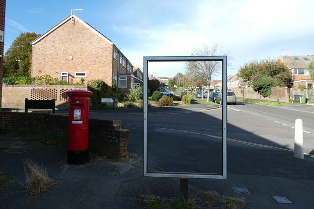
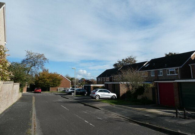
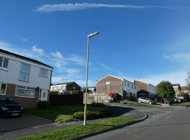
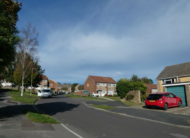
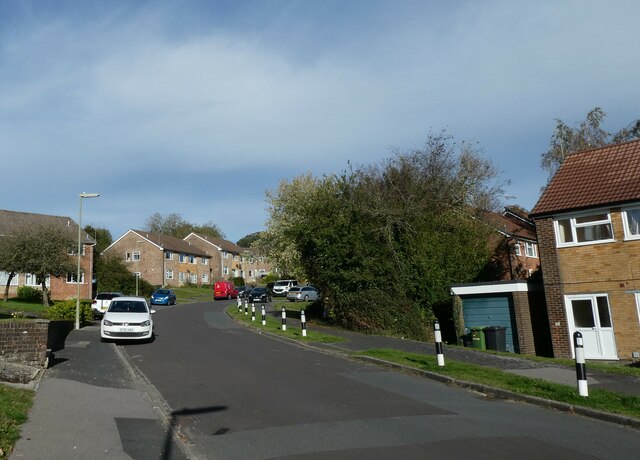
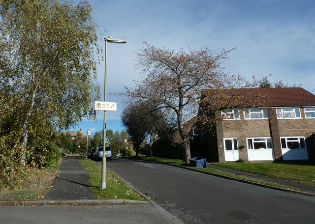
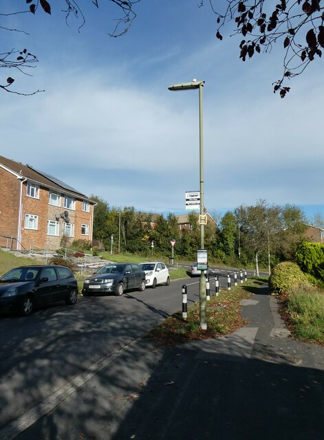
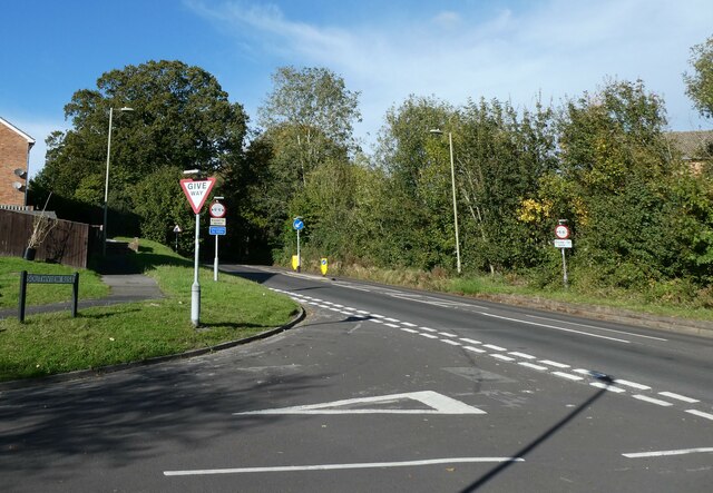
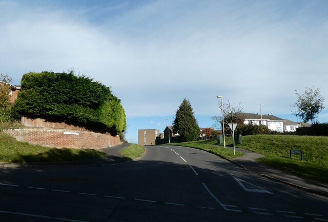
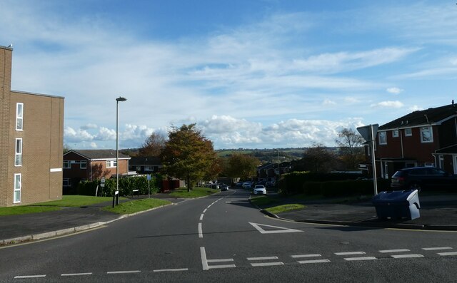
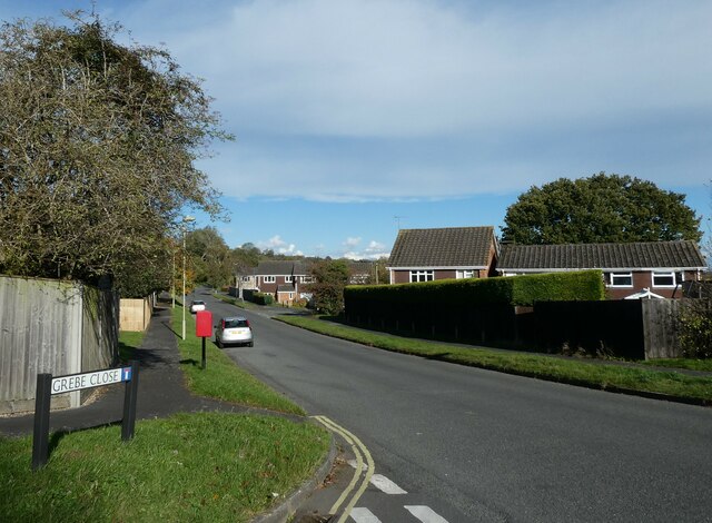
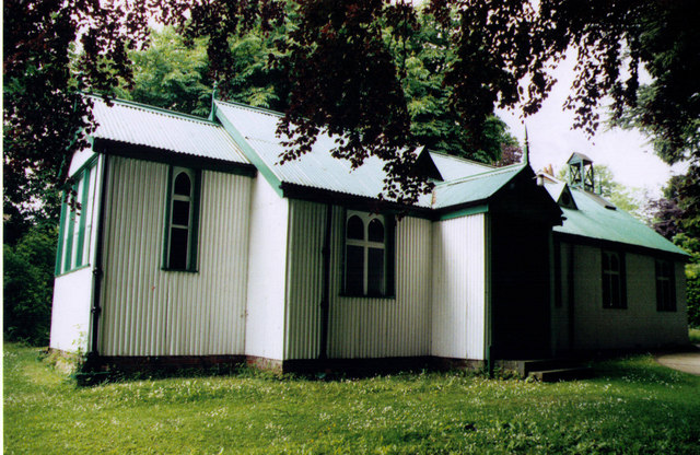
Great Wood Images
Images are sourced within 2km of 51.156428/-1.0043638 or Grid Reference SU6940. Thanks to Geograph Open Source API. All images are credited.


Great Wood is located at Grid Ref: SU6940 (Lat: 51.156428, Lng: -1.0043638)
Administrative County: Hampshire
District: East Hampshire
Police Authority: Hampshire
What 3 Words
///mental.grunt.clinked. Near Alton, Hampshire
Nearby Locations
Related Wikis
Beech, Hampshire
Beech is a village and civil parish in the East Hampshire district of Hampshire, England. It lies 2 miles (3 km) west of Alton, just west of the A339 road...

Thedden
Thedden is a hamlet in the large civil parish of Bentworth in Hampshire, England, about 1.3 miles (2.1 km) south east of the centre of Bentworth village...

Shalden
Shalden is a village and civil parish in the East Hampshire district of Hampshire, England. It is 2.3 miles (3.7 km) northwest of Alton and 1.9 miles...

Amery Hill School
Amery Hill School is a coeducational secondary school with academy status set on a hill above the market town of Alton, Hampshire, England. Its head teacher...
Alton College
HSDC Alton, formerly known as Alton College, is located in Alton, Hampshire, England. In addition to offering A Levels, the College provides an adult education...
Treloar's Hospital Platform railway station
Treloar's Hospital Platform (also known as Alton Park and Cripples' Home Siding) was a railway station which served Lord Mayor Treloar's hospital in Alton...

Church of St Lawrence, Alton
The Church of St Lawrence, Alton is an Anglican parish church in Alton, Hampshire, England. It is a Grade I listed building and is notable both for the...

Alton, Hampshire
Alton ( AWL-tən) is a market town and civil parish in the East Hampshire district of Hampshire, England, near the source of the River Wey. It had a population...
Nearby Amenities
Located within 500m of 51.156428,-1.0043638Have you been to Great Wood?
Leave your review of Great Wood below (or comments, questions and feedback).