South Wood
Wood, Forest in Hampshire East Hampshire
England
South Wood
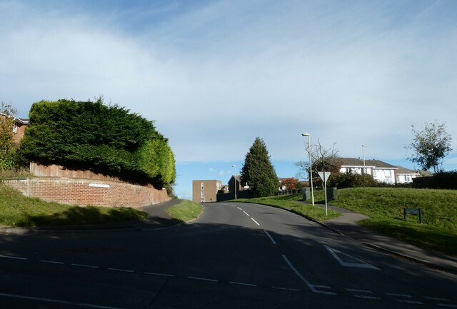
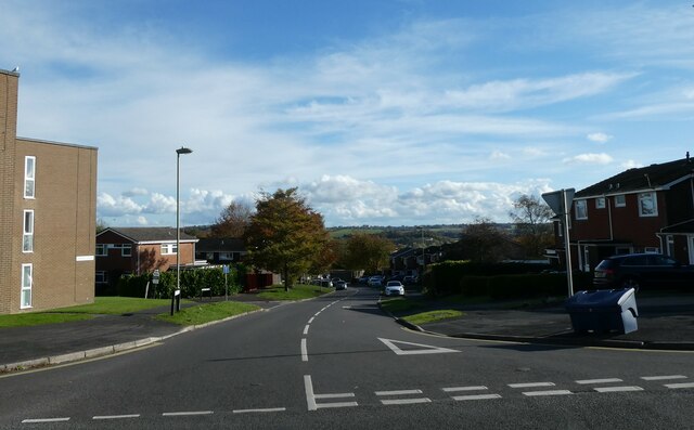
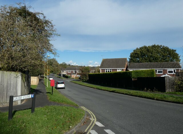
South Wood is a small village located in the county of Hampshire, England. Situated within the larger area known as the New Forest, it is surrounded by picturesque woodlands and natural beauty. The village is nestled between the towns of Lyndhurst and Brockenhurst, offering a peaceful and rural setting for its residents.
The area is renowned for its extensive woodland, with South Wood being no exception. The forest is home to a diverse range of flora and fauna, providing a habitat for various species of wildlife. Visitors to South Wood can enjoy scenic walks and hikes through the forest, taking in the serene atmosphere and immersing themselves in nature.
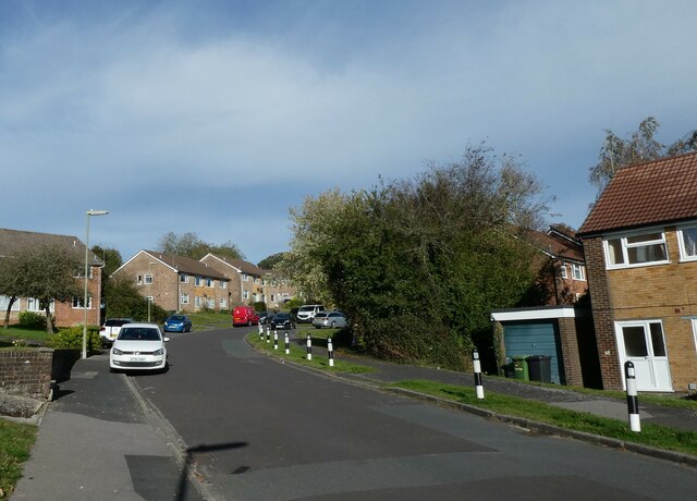
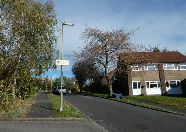
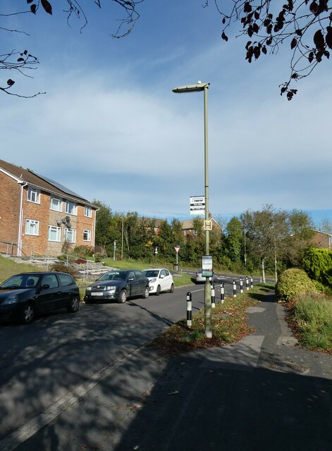
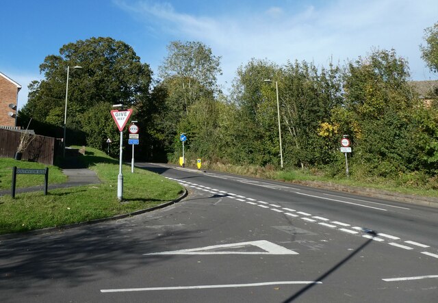
The village itself is relatively small, with a tight-knit community. Characterized by charming cottages and traditional architecture, South Wood exudes a quaint and idyllic charm. The village has a primary school, a village hall, and a local pub, providing essential amenities for its residents.
The New Forest, including South Wood, is a popular destination for tourists and nature enthusiasts. The area offers numerous recreational activities, such as cycling, horse riding, and bird watching. Visitors can also explore nearby attractions, including Beaulieu Palace House and the National Motor Museum.
Overall, South Wood in Hampshire is a tranquil and picturesque village, offering residents and visitors a chance to escape the hustle and bustle of city life and immerse themselves in the beauty of nature.
If you have any feedback on the listing, please let us know in the comments section below.
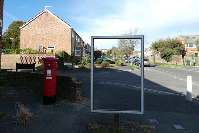
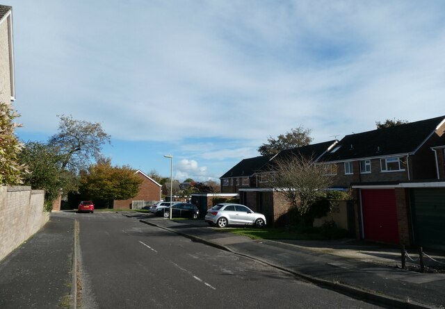
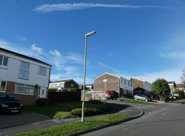
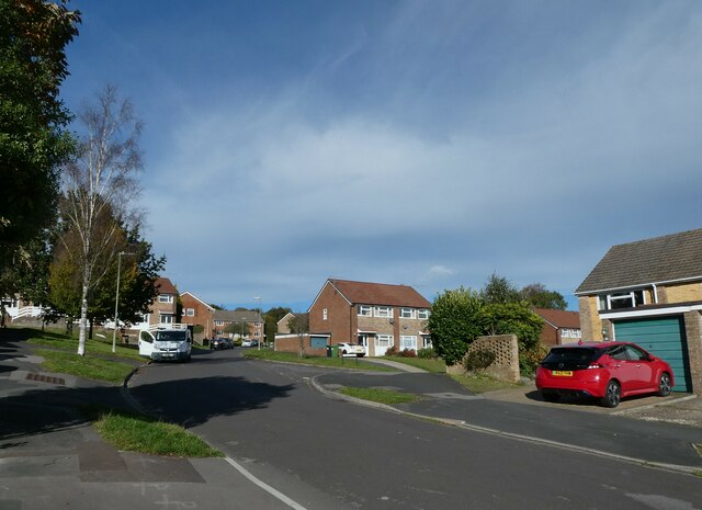
South Wood Images
Images are sourced within 2km of 51.161018/-1.0026347 or Grid Reference SU6940. Thanks to Geograph Open Source API. All images are credited.


South Wood is located at Grid Ref: SU6940 (Lat: 51.161018, Lng: -1.0026347)
Administrative County: Hampshire
District: East Hampshire
Police Authority: Hampshire
What 3 Words
///inert.likely.duties. Near Alton, Hampshire
Nearby Locations
Related Wikis

Shalden
Shalden is a village and civil parish in the East Hampshire district of Hampshire, England. It is 2.3 miles (3.7 km) northwest of Alton and 1.9 miles...
Beech, Hampshire
Beech is a village and civil parish in the East Hampshire district of Hampshire, England. It lies 2 miles (3 km) west of Alton, just west of the A339 road...

Alton College
HSDC Alton, formerly known as Alton College, is located in Alton, Hampshire, England. In addition to offering A Levels, the College provides an adult education...
Amery Hill School
Amery Hill School is a coeducational secondary school with academy status set on a hill above the market town of Alton, Hampshire, England. Its head teacher...

Church of St Lawrence, Alton
The Church of St Lawrence, Alton is an Anglican parish church in Alton, Hampshire, England. It is a Grade I listed building and is notable both for the...
Battle of Alton
The Battle of Alton (also Storm of Alton), of the First English Civil War, took place on 13 December 1643 in the town of Alton, Hampshire, England. There...

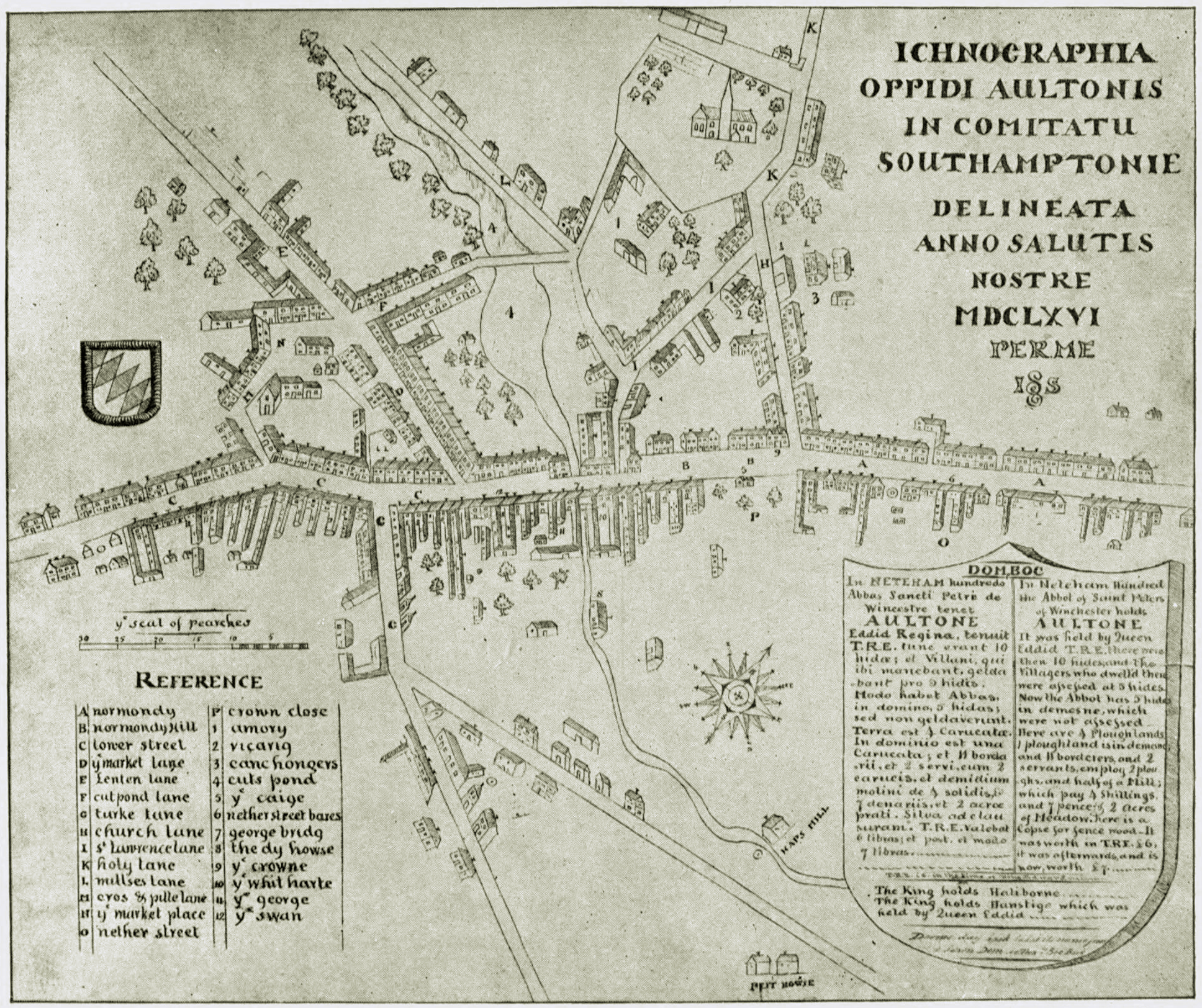
Alton, Hampshire
Alton ( AWL-tən) is a market town and civil parish in the East Hampshire district of Hampshire, England, near the source of the River Wey. It had a population...

Thedden
Thedden is a hamlet in the large civil parish of Bentworth in Hampshire, England, about 1.3 miles (2.1 km) south east of the centre of Bentworth village...
Nearby Amenities
Located within 500m of 51.161018,-1.0026347Have you been to South Wood?
Leave your review of South Wood below (or comments, questions and feedback).