Spring Covert

Wood, Forest in Oxfordshire South Oxfordshire

England

Spring Covert

Farmland, Aston Rowant The bridleway from Copcourt approaches Chalford in mixed farmland.
Farmland, Aston Rowant Credit: Andrew Smith

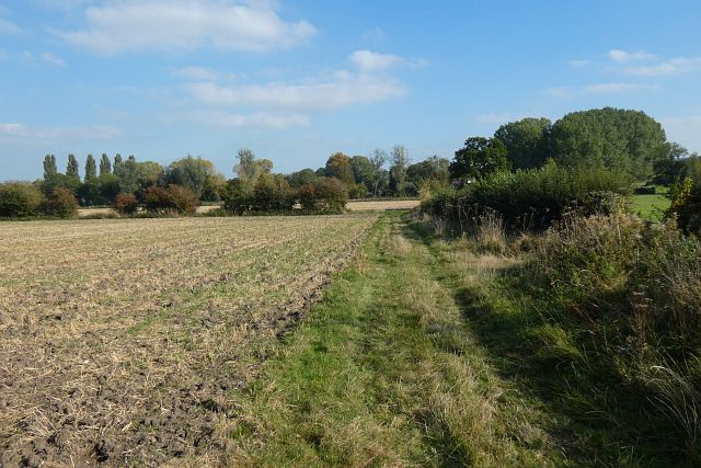
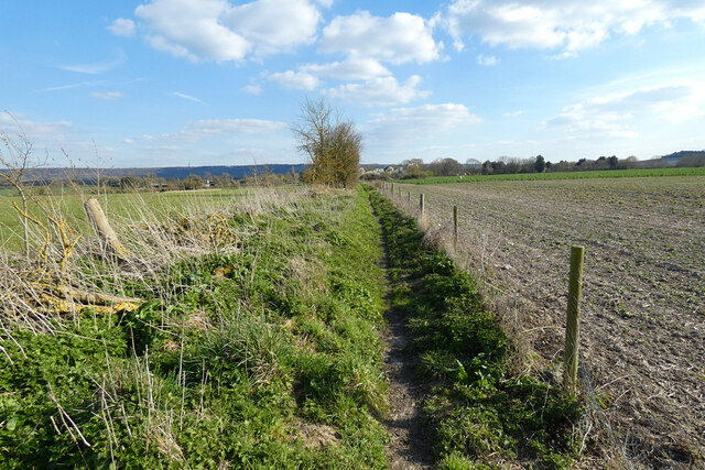
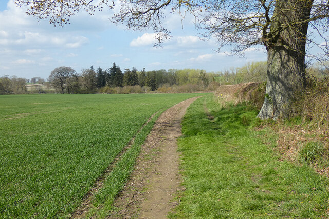
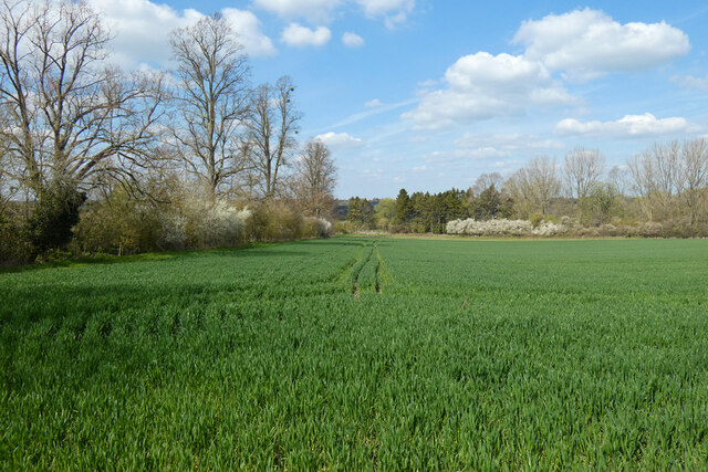
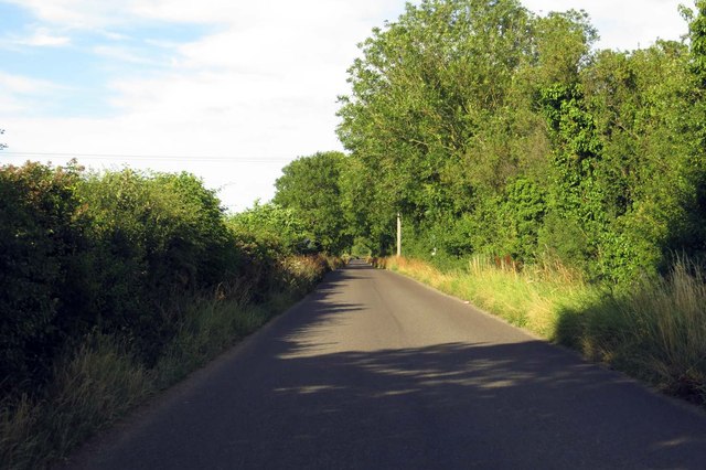
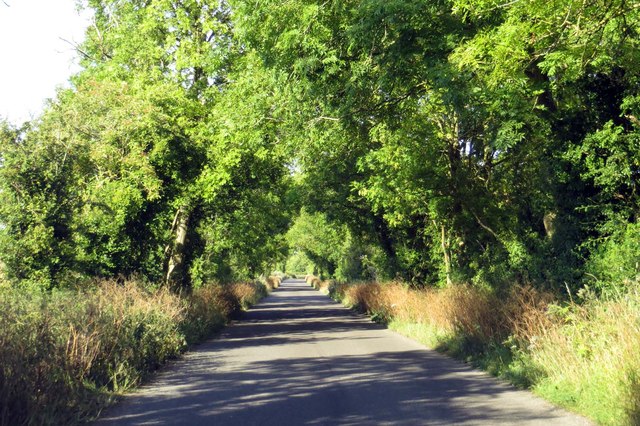
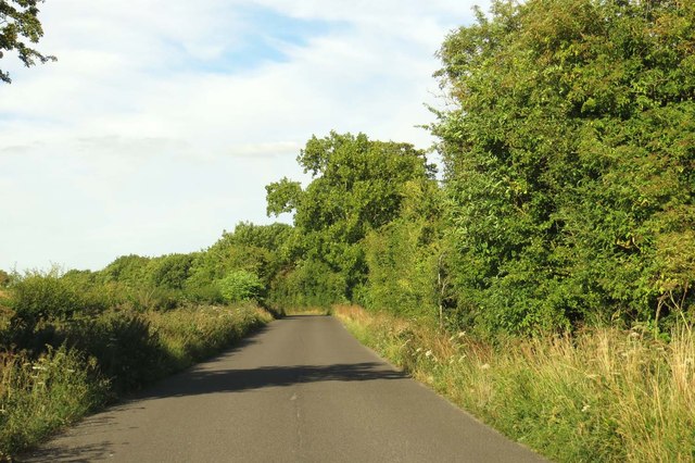
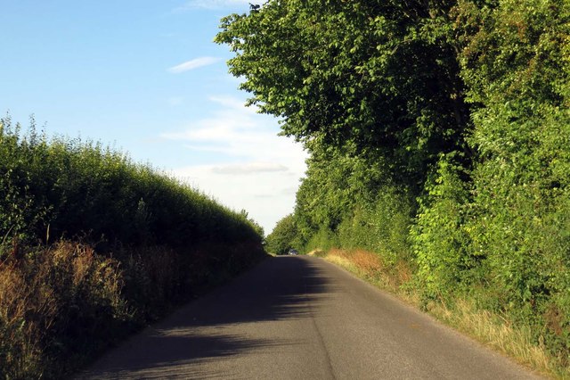
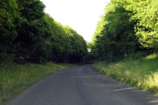
Spring Covert is a wood located in Oxfordshire, England. Situated in the heart of the county, it is a picturesque forest known for its natural beauty and diverse ecosystem. Covering an area of approximately 100 acres, Spring Covert is a popular destination for nature enthusiasts, hikers, and bird watchers.

The woodland is characterized by its dense canopy of mature trees, predominantly consisting of oak, beech, and ash. These towering giants provide ample shade during the hot summer months, creating a cool and tranquil atmosphere. The forest floor is covered in a thick carpet of bluebells, providing a vibrant display of color in the spring.

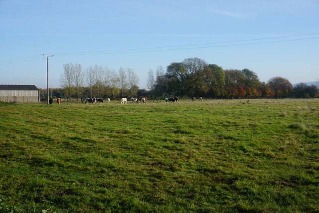
Spring Covert is home to a wide variety of wildlife, making it an important conservation area. Bird species such as woodpeckers, tawny owls, and nightingales can be spotted in the trees, while the forest floor is home to small mammals like squirrels, rabbits, and foxes. The wood is also known for its rich insect population, including butterflies and dragonflies.

Visitors to Spring Covert can enjoy a network of well-maintained trails that wind through the forest, allowing for peaceful walks and exploration. The wood also features picnic areas and benches, providing the perfect opportunity to relax and soak in the natural surroundings.

Overall, Spring Covert in Oxfordshire is a stunning woodland that offers a tranquil escape from the hustle and bustle of everyday life. With its diverse flora and fauna, it is a haven for nature lovers and a valuable resource for biodiversity conservation.

If you have any feedback on the listing, please let us know in the comments section below.

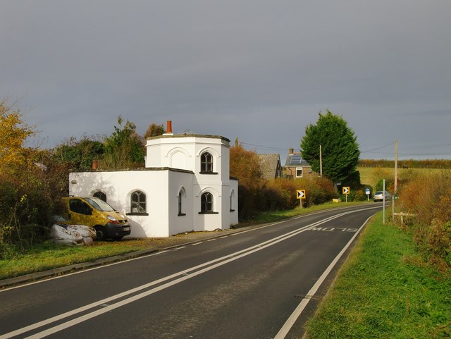
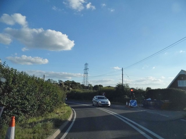
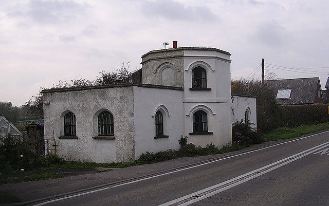
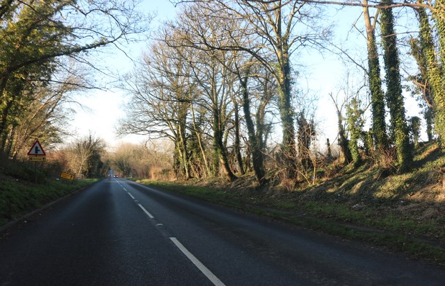
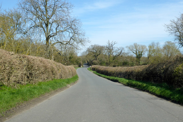
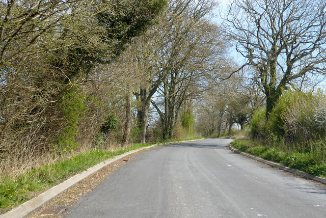
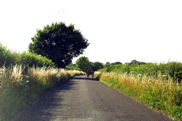
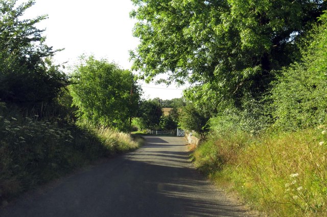
Spring Covert Images

Images are sourced within 2km of 51.690281/-0.99120744 or Grid Reference SU6999. Thanks to Geograph Open Source API. All images are credited.

Farmland, Aston Rowant The bridleway from Copcourt approaches Chalford in mixed farmland.
Farmland, Aston Rowant
The bridleway from Copcourt approaches Chalford in mixed farmland.
Farmland, Lewknor A footpath approaching Postcombe from Copcourt.  The land to the right contains a young crop of beans with more advance oil-seed rape seen ahead.
Farmland, Lewknor
A footpath approaching Postcombe from Copcourt. The land to the right contains a young crop of beans with more advance oil-seed rape seen ahead.
Farmland, Shirburn On a footpath heading generally north-eastwards from Pyrton with options to go towards South Weston or Wheatfield.
Farmland, Shirburn
On a footpath heading generally north-eastwards from Pyrton with options to go towards South Weston or Wheatfield.
Farmland, Wheatfield Cereal on land dropping gently from the road between Adwell and Wheatfield.
Farmland, Wheatfield
Cereal on land dropping gently from the road between Adwell and Wheatfield.
Attington Toll House Perhaps past owners of the Attington estate excised tolls as a revenue-raising measure; perhaps they simply wished to discourage passage across the estate.  The style of the building, with its Gothick windows, suggests a date of circa 1800.
Attington Toll House
Perhaps past owners of the Attington estate excised tolls as a revenue-raising measure; perhaps they simply wished to discourage passage across the estate. The style of the building, with its Gothick windows, suggests a date of circa 1800.
Temporary lights on Thame Park Road, Tetsworth
Old Toll House, Tetsworth Toll House in the parish of Tetsworth, Attington Toll House, Thame Road (B4012), OX9 7DA.

Grade II listed.
List Entry Number: 1059661 <span class="nowrap"><a title="https://historicengland.org.uk/listing/the-list/list-entry/1059661" rel="nofollow ugc noopener" href="https://historicengland.org.uk/listing/the-list/list-entry/1059661">Link</a><img style="margin-left:2px;" alt="External link" title="External link - shift click to open in new window" src="https://s1.geograph.org.uk/img/external.png" width="10" height="10"/></span>

Surveyed

Milestone Society National ID: OX.TET
Old Toll House, Tetsworth
Toll House in the parish of Tetsworth, Attington Toll House, Thame Road (B4012), OX9 7DA. Grade II listed. List Entry Number: 1059661 LinkExternal link Surveyed Milestone Society National ID: OX.TET
London Road before Tetsworth
Road towards Tetsworth From Stoke Talmage.
Road towards Tetsworth
From Stoke Talmage.
Road from A40 to B4014 Effectively the short side of a very elongated triangular junction.
Road from A40 to B4014
Effectively the short side of a very elongated triangular junction.
Weston Road out of Lewknor
Weston Road in South Weston
Salt Lane to Postcombe
Up Salt Lane to Postcombe
Salt Lane runs under the M40 to Postcombe
A field of cattle near Postcombe A footpath crosses this field although its route is not completely obvious.
A field of cattle near Postcombe
A footpath crosses this field although its route is not completely obvious.
Show me another place!

Spring Covert is located at Grid Ref: SU6999 (Lat: 51.690281, Lng: -0.99120744)

Administrative County: Oxfordshire

District: South Oxfordshire

Police Authority: Thames Valley

What 3 Words

///shoulders.station.examiner. Near Watlington, Oxfordshire

Related Wikis

Adwell

Adwell is a village and civil parish about 3 miles (5 km) south of Thame in South Oxfordshire. The parish covers 443 acres (179 ha), == Demography == The...

Adwell House

Adwell House, Adwell, Oxfordshire, is a Grade II* listed building and the family seat of the Birch Reynardson family. == References == == External links... ==

Wheatfield, Oxfordshire

Wheatfield is a civil parish and deserted medieval village about 4 miles (6.4 km) south of Thame in Oxfordshire. Wheatfield's toponym is derived from...

South Weston

South Weston is a village and former civil parish, now in the parish of Lewknor, in the South Oxfordshire district, in the county of Oxfordshire, England...

Postcombe

Postcombe is a village in the civil parish of Lewknor. It is approximately 4 miles (6.4 km) south of Thame in Oxfordshire, England, and about 2 miles...

Stoke Talmage

Stoke Talmage is a village and civil parish 4+1⁄2 miles (7 km) south of Thame in Oxfordshire. The 2001 Census recorded the parish population as 49. Because...

London Parachute School

The London Parachute School is a BPA affiliated parachuting centre and skydiving drop zone at Chiltern Park Aerodrome at Ipsden, near Wallingford, Oxfordshire...

The Swan, Tetsworth

The Swan is an historic former Grade II* Elizabethan coaching inn in Tetsworth built about 1600 CE with 17th-century and 18th-century additions.It is now...

Nearby Amenities

Located within 500m of 51.690281,-0.99120744
Adwell
Place: hamlet
Source: OS_OpenData_StreetView
Wikidata: Q2478383
Wikipedia: en:Adwell
Lat/Long: 51.6915702/-0.9929152
Barrier: stile
Lat/Long: 51.691645/-0.996658
Barrier: stile
Lat/Long: 51.690994/-0.9963039
Direction: 165
Generator Method: photovoltaic
Generator Output Electricity: yes
Generator Solar Modules: 16
Generator Source: solar
Generator Type: solar_photovoltaic_panel
Location: ground
Power: generator
Lat/Long: 51.689105/-0.9941743
The data included in this document is from www.openstreetmap.org. The data is made available under ODbL.

Have you been to Spring Covert?

Leave your review of Spring Covert below (or comments, questions and feedback).