Piccadilly Wood
Wood, Forest in Oxfordshire South Oxfordshire
England
Piccadilly Wood
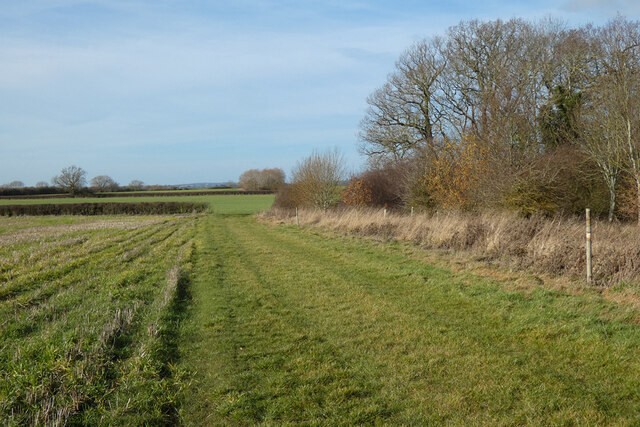
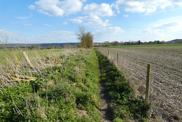
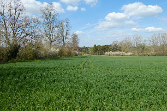
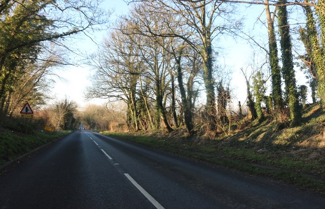
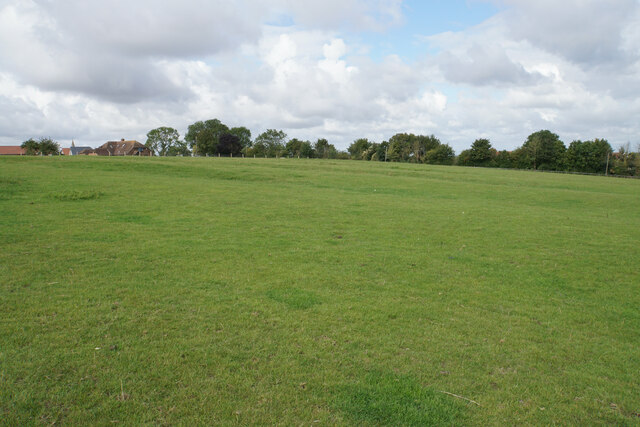
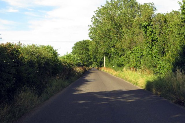
Piccadilly Wood is a charming woodland located in Oxfordshire, England. Situated near the town of Henley-on-Thames, this picturesque forest covers an area of approximately 100 acres, making it a popular destination for nature enthusiasts and hikers alike.
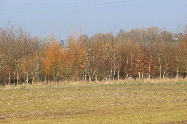
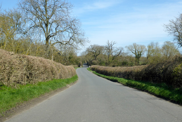
The woodland is predominantly composed of native deciduous trees, including oak, beech, and birch. These trees create a dense canopy that provides a cool and shaded atmosphere, especially during the summer months. The forest floor is carpeted with an array of wildflowers, adding vibrant pops of color to the landscape.
Piccadilly Wood is home to a diverse range of wildlife, making it a haven for nature lovers. Visitors may spot various bird species, such as woodpeckers, owls, and thrushes, fluttering among the treetops. Other animals, such as deer, foxes, and squirrels, also inhabit the wood, adding to its natural beauty and harmony.
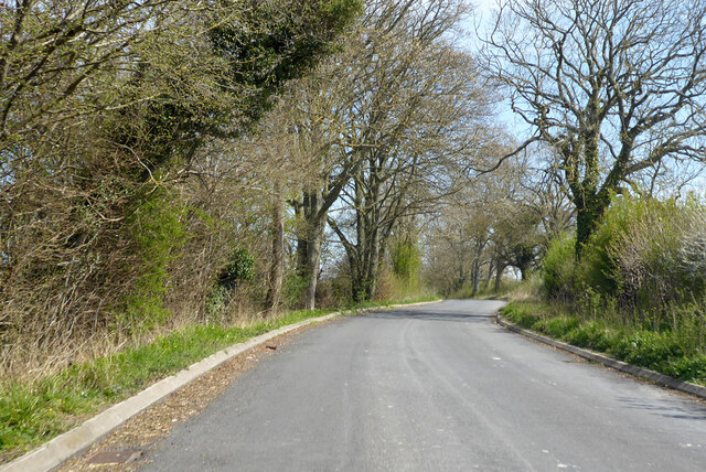
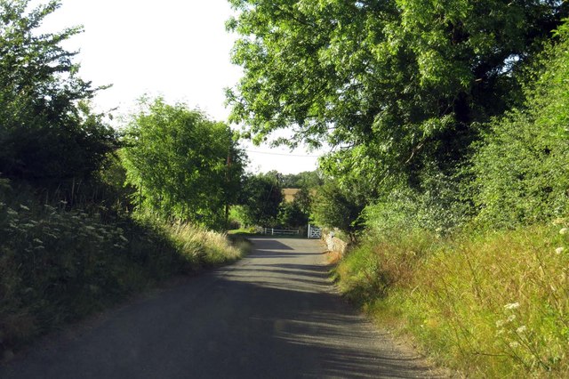
The woodland features several well-marked trails that wind through its enchanting scenery. These paths cater to both casual walkers and more experienced hikers, allowing visitors to explore the wood at their own pace. Along the way, benches and picnic spots provide the perfect opportunity to rest and soak in the tranquil surroundings.
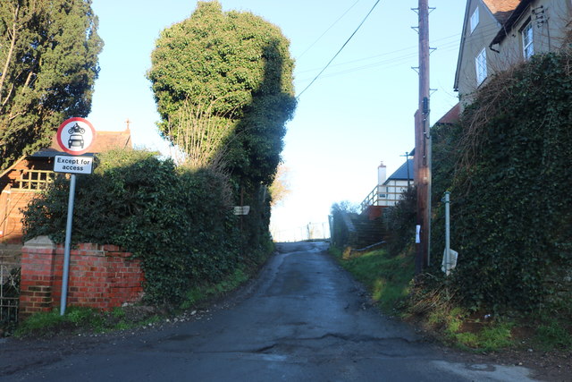
Piccadilly Wood is easily accessible, with a small parking area available for visitors. The wood is open to the public throughout the year, providing a serene escape from the hustle and bustle of daily life. Whether one seeks solitude, a peaceful walk, or a chance to connect with nature, Piccadilly Wood offers a serene and delightful experience for all who visit.
If you have any feedback on the listing, please let us know in the comments section below.
Piccadilly Wood Images
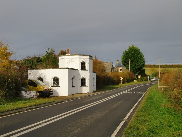
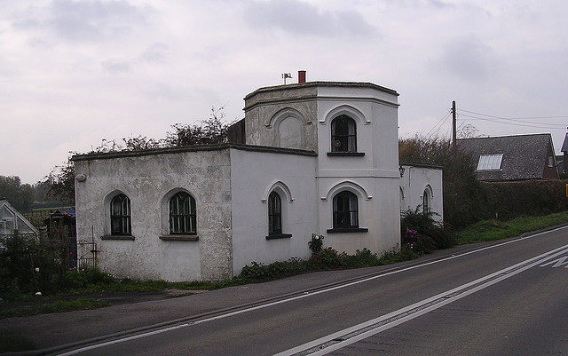
Images are sourced within 2km of 51.692893/-0.99697992 or Grid Reference SU6999. Thanks to Geograph Open Source API. All images are credited.

Piccadilly Wood is located at Grid Ref: SU6999 (Lat: 51.692893, Lng: -0.99697992)
Administrative County: Oxfordshire
District: South Oxfordshire
Police Authority: Thames Valley
What 3 Words
///reclaim.eyelashes.remarried. Near Watlington, Oxfordshire
Nearby Locations
Related Wikis

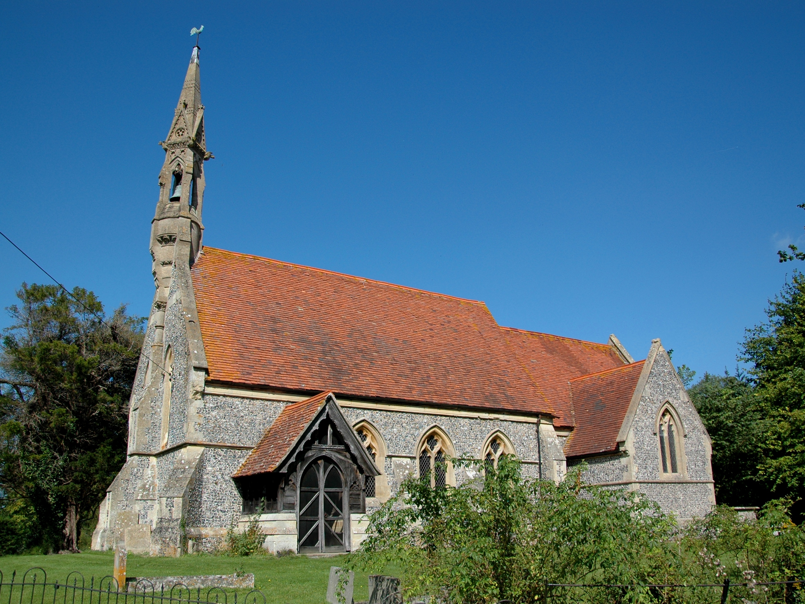
Adwell House
Adwell House, Adwell, Oxfordshire, is a Grade II* listed building and the family seat of the Birch Reynardson family. == References == == External links... ==
Adwell
Adwell is a village and civil parish about 3 miles (5 km) south of Thame in South Oxfordshire. The parish covers 443 acres (179 ha), == Demography == The...
Wheatfield, Oxfordshire
Wheatfield is a civil parish and deserted medieval village about 4 miles (6.4 km) south of Thame in Oxfordshire. Wheatfield's toponym is derived from...

South Weston
South Weston is a village and former civil parish, now in the parish of Lewknor, in the South Oxfordshire district, in the county of Oxfordshire, England...

Postcombe
Postcombe is a village in the civil parish of Lewknor. It is approximately 4 miles (6.4 km) south of Thame in Oxfordshire, England, and about 2 miles...

Stoke Talmage
Stoke Talmage is a village and civil parish 4+1⁄2 miles (7 km) south of Thame in Oxfordshire. The 2001 Census recorded the parish population as 49. Because...

Tetsworth
Tetsworth is a village and civil parish about 3 miles (5 km) south of Thame in Oxfordshire. Its Parish Council is made up of six elected Councillors. The...

The Swan, Tetsworth
The Swan is an historic former Grade II* Elizabethan coaching inn in Tetsworth built about 1600 CE with 17th-century and 18th-century additions.It is now...
Nearby Amenities
Located within 500m of 51.692893,-0.99697992Have you been to Piccadilly Wood?
Leave your review of Piccadilly Wood below (or comments, questions and feedback).