The Warren
Wood, Forest in Oxfordshire South Oxfordshire
England
The Warren
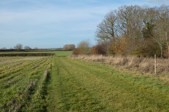
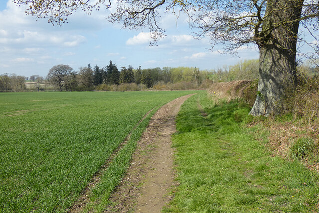
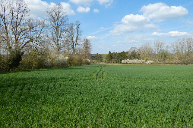
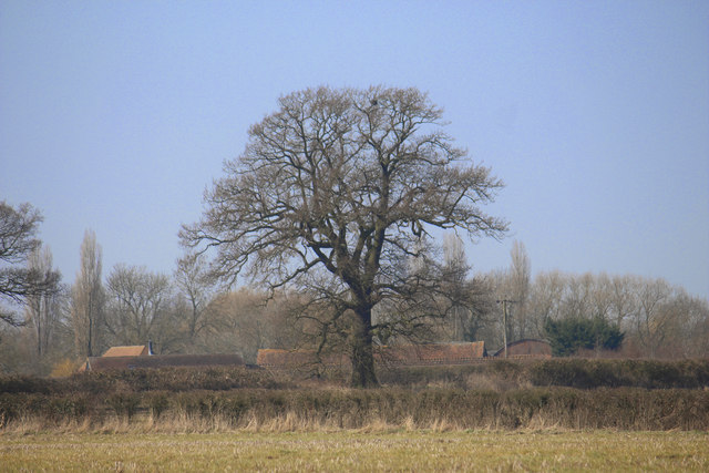
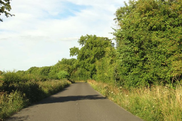
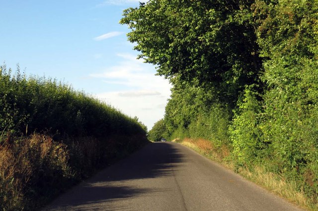
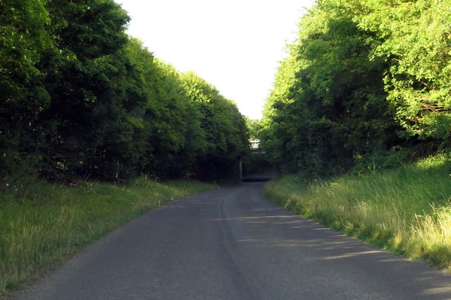
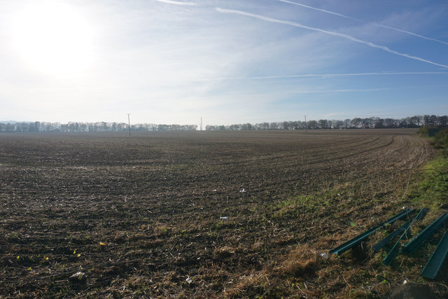
The Warren is a picturesque woodland located in Oxfordshire, England. Situated near the village of Wood, it is renowned for its scenic beauty and diverse range of flora and fauna. The forest covers an area of approximately 500 acres, making it a popular destination for nature lovers and outdoor enthusiasts.
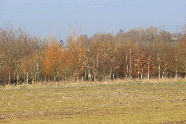
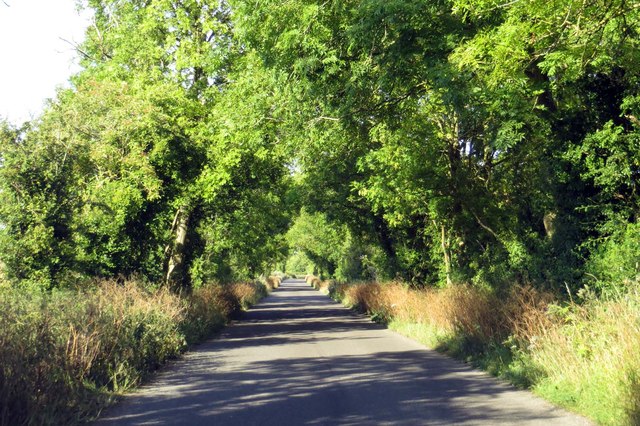
The Warren boasts an impressive array of tree species, including oak, beech, and pine, creating a rich and vibrant canopy overhead. The forest floor is adorned with a carpet of wildflowers, adding to the area's natural charm. Wildlife thrives within The Warren, with sightings of deer, foxes, and various bird species being common. The forest is also home to a number of protected species, including the greater horseshoe bat and the silver-washed fritillary butterfly.
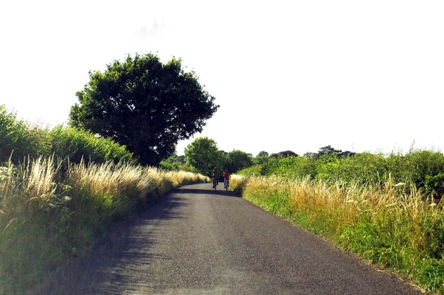
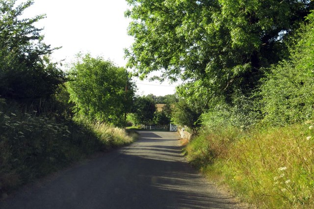
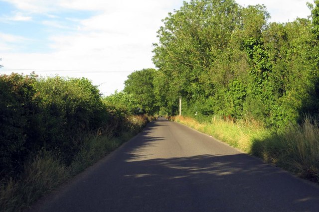
Visitors to The Warren can enjoy a variety of activities. The forest is crisscrossed by well-marked walking trails, providing opportunities for leisurely strolls or more challenging hikes. Cyclists are also welcome, with designated paths catering to their needs. The Warren is a popular destination for families, with a children's play area and picnic spots dotted throughout the woodland.
In addition to its natural beauty, The Warren holds historical significance. The remains of Iron Age encampments can be found within the forest, offering a glimpse into the area's past. Archaeological excavations have unearthed artifacts dating back thousands of years, providing valuable insight into the region's ancient inhabitants.
Overall, The Warren in Oxfordshire is a captivating woodland that combines natural splendor, recreational activities, and historical significance, making it a must-visit destination for locals and tourists alike.
If you have any feedback on the listing, please let us know in the comments section below.
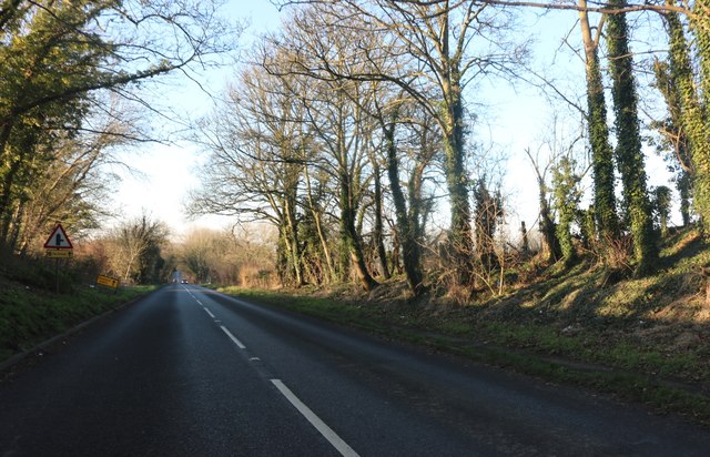
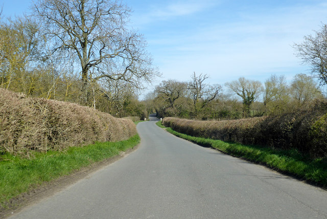
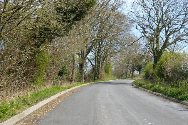
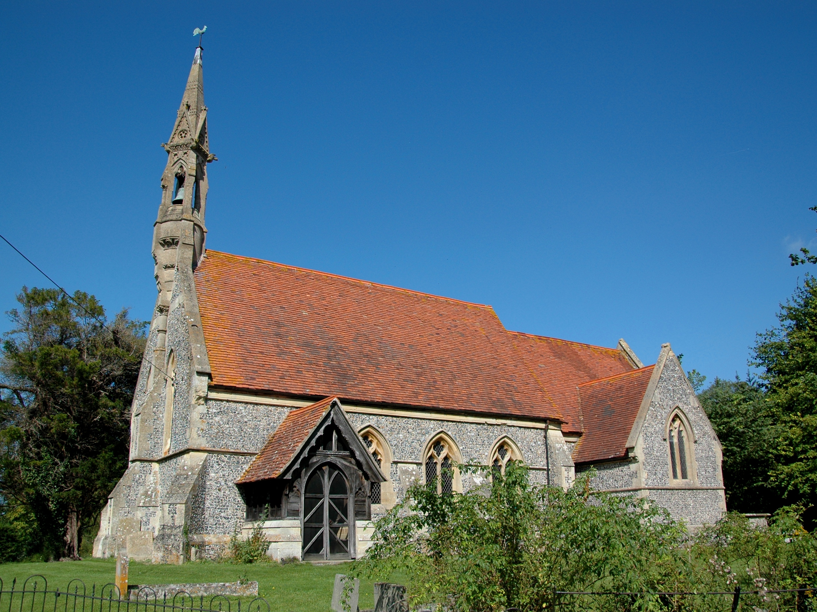
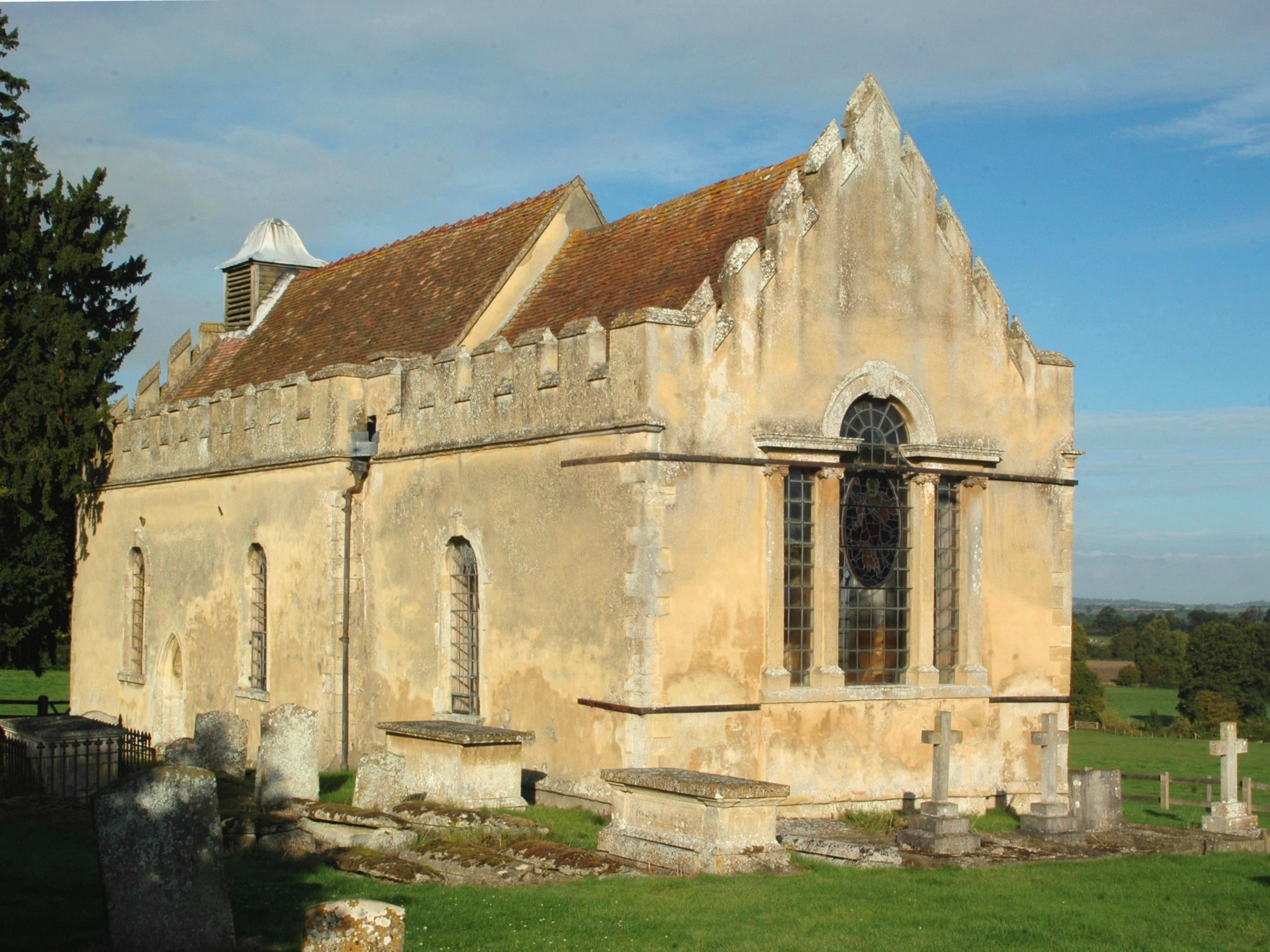
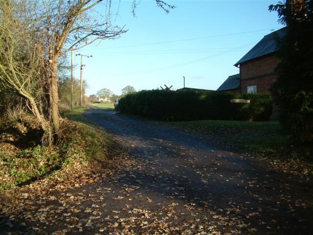
The Warren Images
Images are sourced within 2km of 51.68652/-1.0013882 or Grid Reference SU6999. Thanks to Geograph Open Source API. All images are credited.


The Warren is located at Grid Ref: SU6999 (Lat: 51.68652, Lng: -1.0013882)
Administrative County: Oxfordshire
District: South Oxfordshire
Police Authority: Thames Valley
What 3 Words
///reclusive.like.workshop. Near Watlington, Oxfordshire
Nearby Locations
Related Wikis

Adwell House
Adwell House, Adwell, Oxfordshire, is a Grade II* listed building and the family seat of the Birch Reynardson family. == References == == External links... ==
Adwell
Adwell is a village and civil parish about 3 miles (5 km) south of Thame in South Oxfordshire. The parish covers 443 acres (179 ha), == Demography == The...
Wheatfield, Oxfordshire
Wheatfield is a civil parish and deserted medieval village about 4 miles (6.4 km) south of Thame in Oxfordshire. Wheatfield's toponym is derived from...

South Weston
South Weston is a village and former civil parish, now in the parish of Lewknor, in the South Oxfordshire district, in the county of Oxfordshire, England...

Stoke Talmage
Stoke Talmage is a village and civil parish 4+1⁄2 miles (7 km) south of Thame in Oxfordshire. The 2001 Census recorded the parish population as 49. Because...

Postcombe
Postcombe is a village in the civil parish of Lewknor. It is approximately 4 miles (6.4 km) south of Thame in Oxfordshire, England, and about 2 miles...

London Parachute School
The London Parachute School is a BPA affiliated parachuting centre and skydiving drop zone at Chiltern Park Aerodrome at Ipsden, near Wallingford, Oxfordshire...
Knightsbridge Lane
Knightsbridge Lane is a 1.7-hectare (4.2-acre) biological Site of Special Scientific Interest just north of Watlington, Oxfordshire.This site consists...
Nearby Amenities
Located within 500m of 51.68652,-1.0013882Have you been to The Warren?
Leave your review of The Warren below (or comments, questions and feedback).