Adwell
Settlement in Oxfordshire South Oxfordshire
England
Adwell
Adwell is a small village located in the district of South Oxfordshire in Oxfordshire, England. Situated approximately 5 miles north-east of the town of Thame, Adwell is known for its picturesque rural setting and charming English countryside.
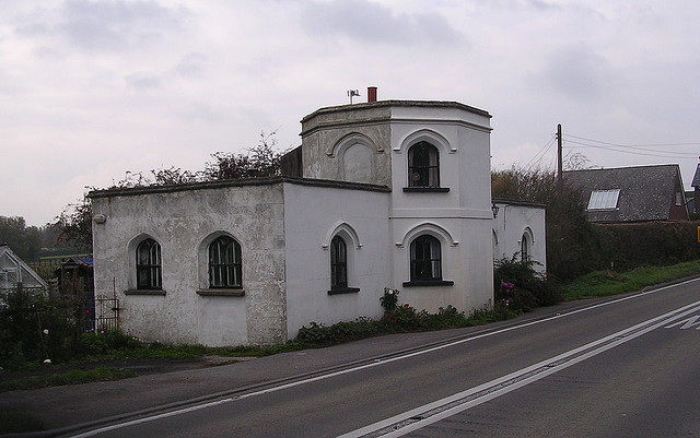
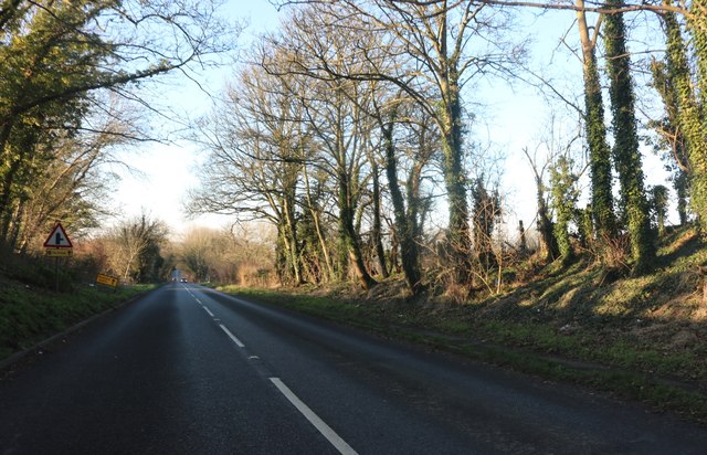
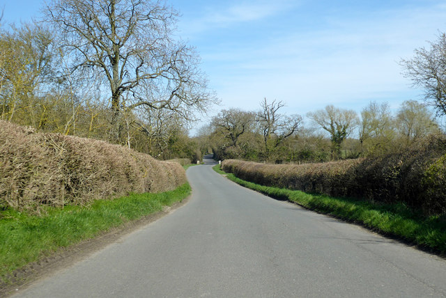
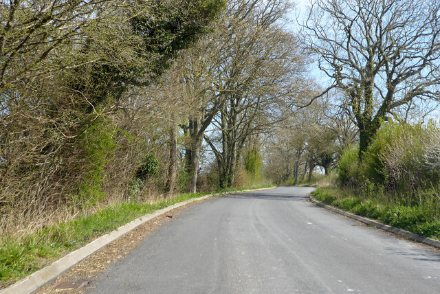
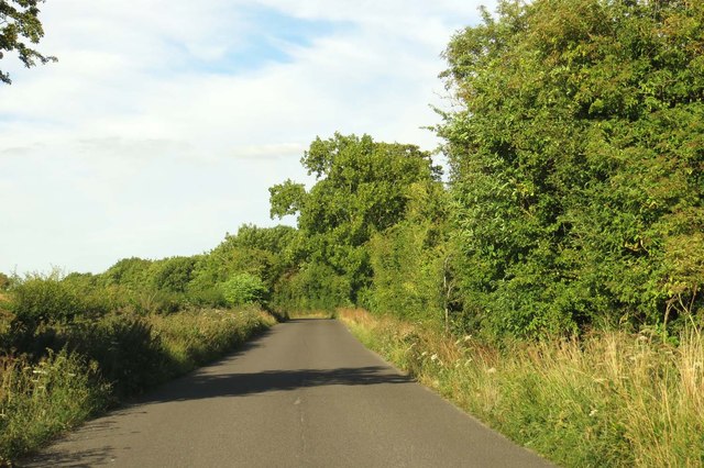
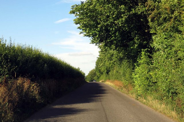
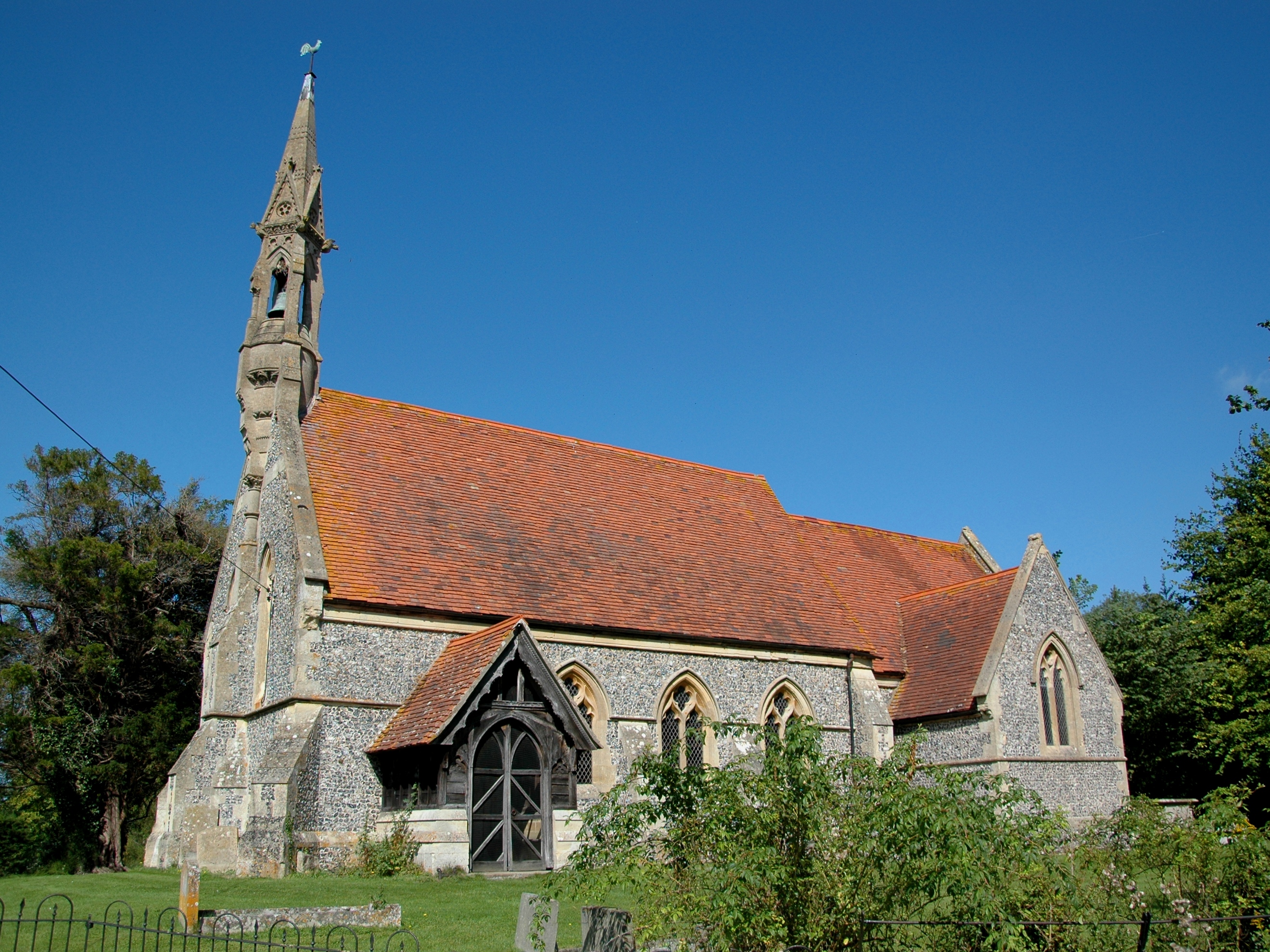
The village is characterized by its traditional stone-built houses, many of which date back to the 17th and 18th centuries, giving it a timeless and historic atmosphere. The village is surrounded by rolling hills, open fields, and meandering streams, offering stunning views and ample opportunities for outdoor activities such as hiking, cycling, and picnicking.
Although Adwell is a small village, it is well-connected to nearby towns and cities. The closest railway station is located in the nearby town of Haddenham & Thame Parkway, providing convenient access to London and other major cities. The village is also within close proximity to major roads such as the M40 motorway, ensuring easy travel by car.
Despite its rural setting, Adwell is not devoid of amenities. The village boasts a community hall that serves as a focal point for various social and recreational activities. Additionally, there are several nearby pubs and restaurants where residents and visitors can enjoy traditional British cuisine and ales.
Overall, Adwell offers a peaceful and idyllic retreat for those seeking a quintessential English village experience, surrounded by natural beauty and steeped in history.
If you have any feedback on the listing, please let us know in the comments section below.
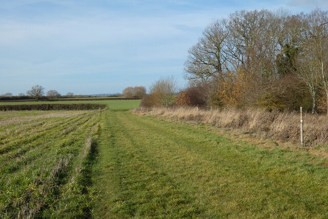
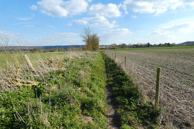
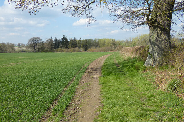
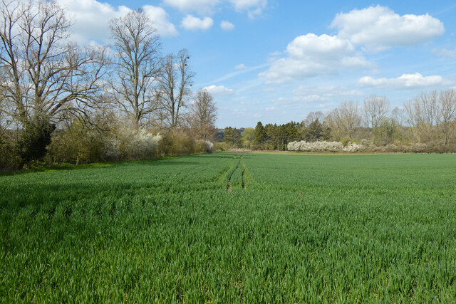
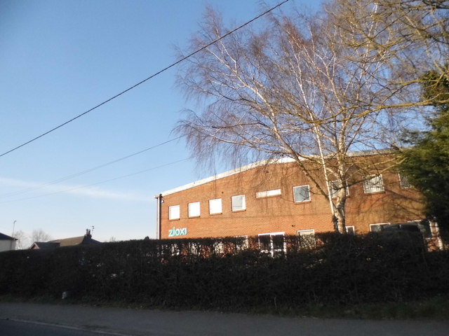
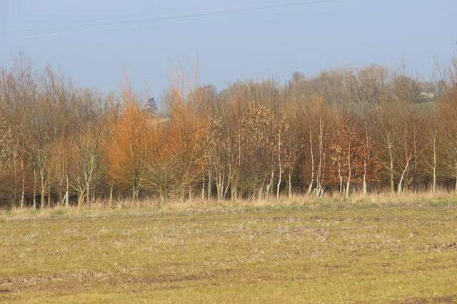
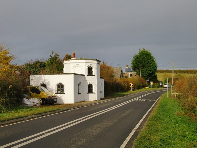
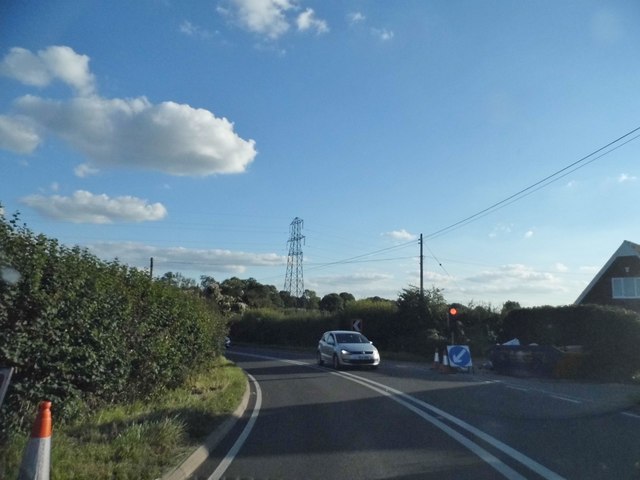
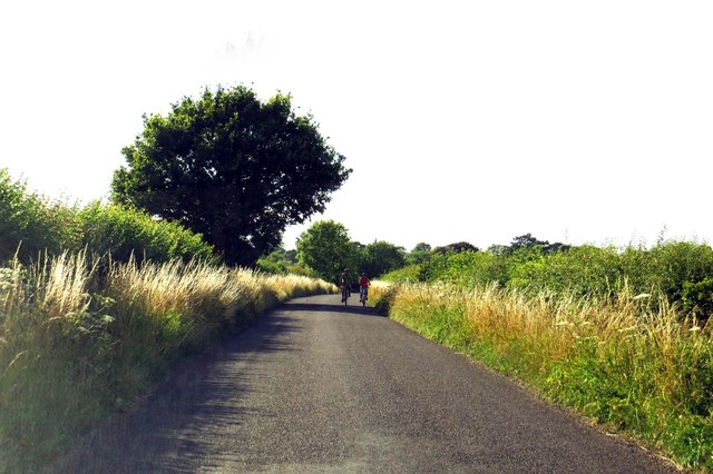
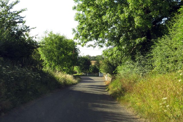
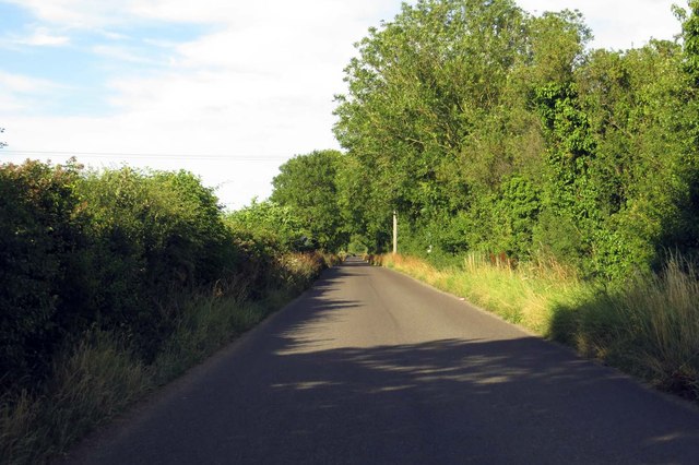
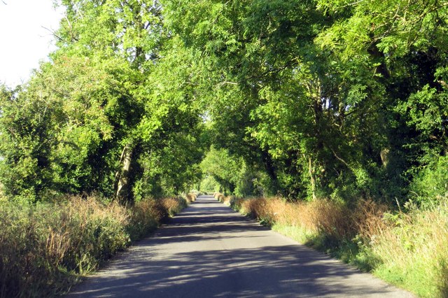
Adwell Images
Images are sourced within 2km of 51.690356/-0.994036 or Grid Reference SU6999. Thanks to Geograph Open Source API. All images are credited.
Adwell is located at Grid Ref: SU6999 (Lat: 51.690356, Lng: -0.994036)
Administrative County: Oxfordshire
District: South Oxfordshire
Police Authority: Thames Valley
What 3 Words
///brew.unsigned.consults. Near Watlington, Oxfordshire
Nearby Locations
Related Wikis

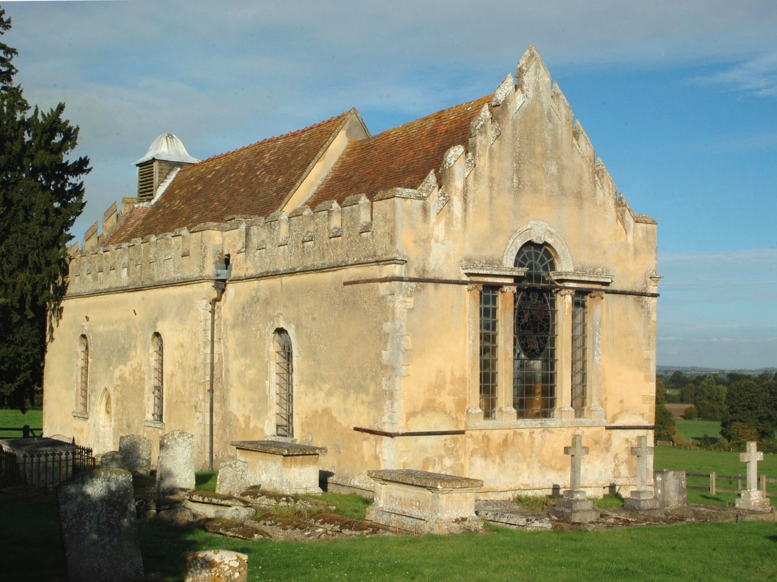
Adwell House
Adwell House, Adwell, Oxfordshire, is a Grade II* listed building and the family seat of the Birch Reynardson family. == References == == External links... ==
Adwell
Adwell is a village and civil parish about 3 miles (5 km) south of Thame in South Oxfordshire. The parish covers 443 acres (179 ha), == Demography == The...
Wheatfield, Oxfordshire
Wheatfield is a civil parish and deserted medieval village about 4 miles (6.4 km) south of Thame in Oxfordshire. Wheatfield's toponym is derived from...

South Weston
South Weston is a village and former civil parish, now in the parish of Lewknor, in the South Oxfordshire district, in the county of Oxfordshire, England...

Postcombe
Postcombe is a village in the civil parish of Lewknor. It is approximately 4 miles (6.4 km) south of Thame in Oxfordshire, England, and about 2 miles...

Stoke Talmage
Stoke Talmage is a village and civil parish 4+1⁄2 miles (7 km) south of Thame in Oxfordshire. The 2001 Census recorded the parish population as 49. Because...

London Parachute School
The London Parachute School is a BPA affiliated parachuting centre and skydiving drop zone at Chiltern Park Aerodrome at Ipsden, near Wallingford, Oxfordshire...

Tetsworth
Tetsworth is a village and civil parish about 3 miles (5 km) south of Thame in Oxfordshire. Its Parish Council is made up of six elected Councillors. The...
Nearby Amenities
Located within 500m of 51.690356,-0.994036Have you been to Adwell?
Leave your review of Adwell below (or comments, questions and feedback).