Mary Plain Wood
Wood, Forest in Yorkshire
England
Mary Plain Wood
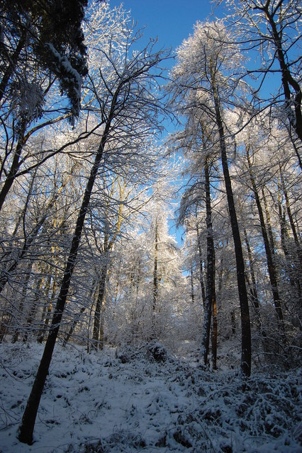
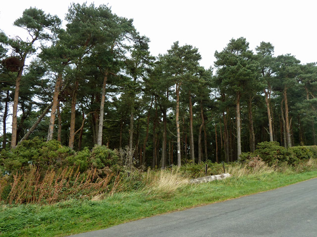
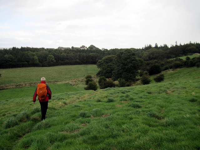
Mary Plain Wood is a beautiful and serene forest located in the county of Yorkshire, England. Spread across a vast expanse, this woodland is known for its rich biodiversity and picturesque landscapes. The forest is named after Mary Plain, a prominent historical figure who played a significant role in the conservation efforts of the area.
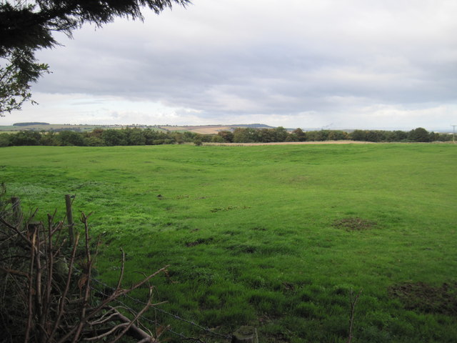
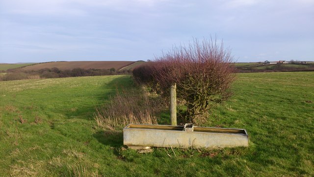
The wood is home to a wide variety of flora and fauna, making it an ideal destination for nature lovers and outdoor enthusiasts. The towering oak, beech, and pine trees dominate the landscape, creating a dense canopy that provides shelter to numerous woodland creatures. Visitors can spot a range of wildlife, including deer, foxes, rabbits, squirrels, and a plethora of bird species.
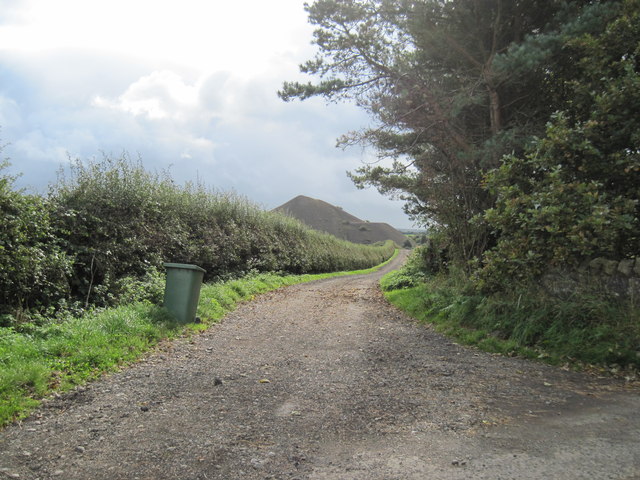
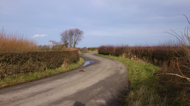
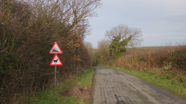
The forest offers a network of well-maintained trails and paths that wind through the wood, making it accessible to hikers, joggers, and cyclists. These trails provide an opportunity for visitors to explore the forest and immerse themselves in its natural beauty. A small stream meanders through the wood, adding to its charm and providing a serene setting for picnics and relaxation.
Mary Plain Wood is also a popular destination for educational and recreational activities. The forest hosts guided nature walks, birdwatching sessions, and photography workshops, allowing visitors to learn more about the local ecosystem and develop new skills. The wood is also equipped with picnic areas, benches, and designated camping spots, making it a perfect location for family outings and overnight stays.
Overall, Mary Plain Wood is a haven of tranquility and natural beauty, offering an escape from the hustle and bustle of everyday life. Its diverse wildlife, well-maintained trails, and recreational opportunities make it a must-visit destination for nature enthusiasts and those seeking a peaceful retreat.
If you have any feedback on the listing, please let us know in the comments section below.
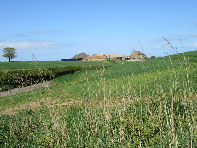
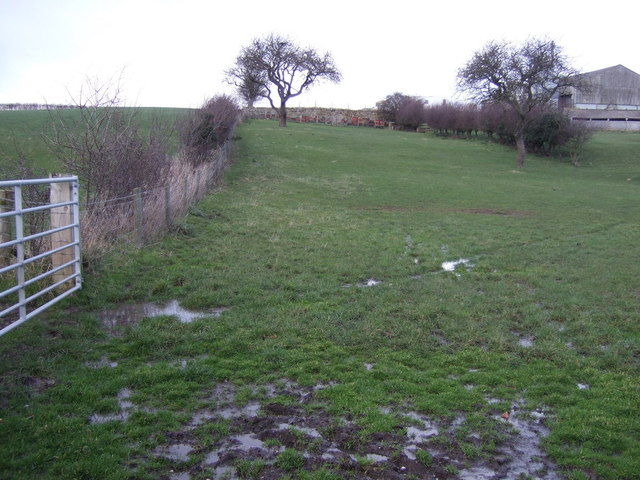
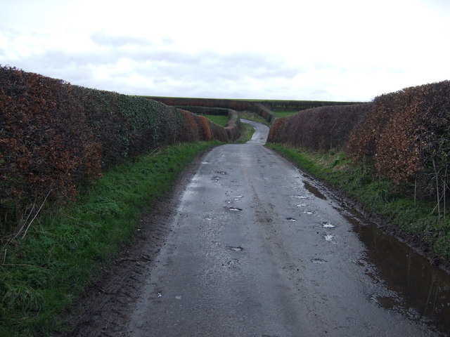
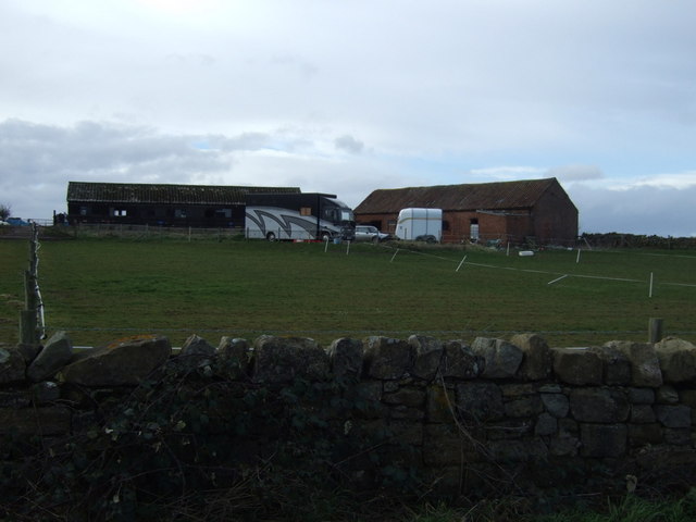
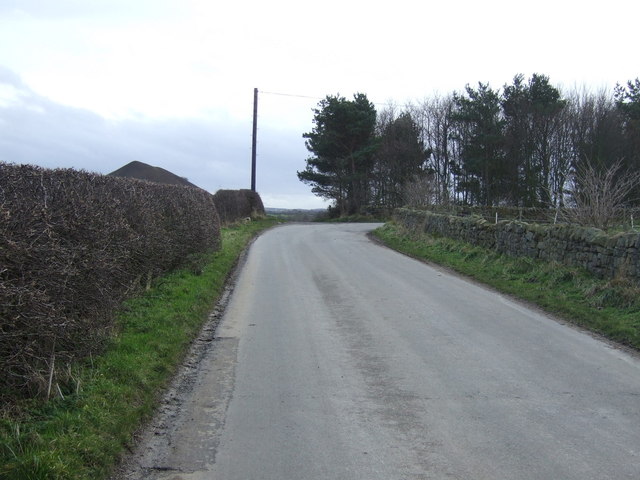
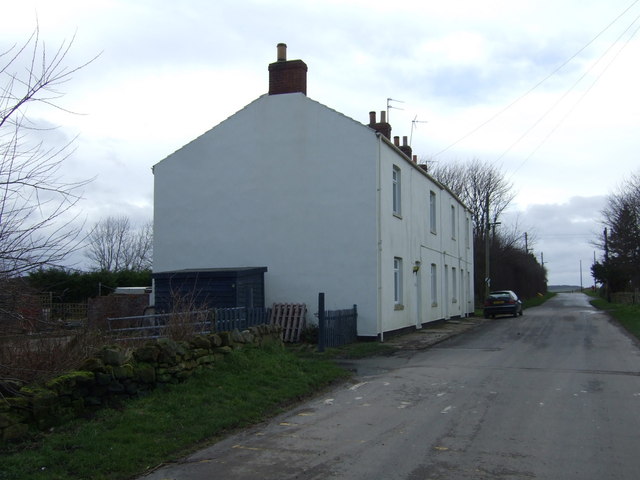
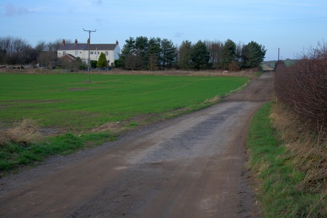
Mary Plain Wood Images
Images are sourced within 2km of 54.540962/-0.92190263 or Grid Reference NZ6916. Thanks to Geograph Open Source API. All images are credited.
Mary Plain Wood is located at Grid Ref: NZ6916 (Lat: 54.540962, Lng: -0.92190263)
Division: North Riding
Unitary Authority: Redcar and Cleveland
Police Authority: Cleveland
What 3 Words
///spits.chatters.parsnips. Near Lingdale, North Yorkshire
Nearby Locations
Related Wikis

Kilton Castle
Kilton Castle is a ruined castle overlooking the valley of Kilton Beck, near to the village of Kilton in the historic county of the North Riding of Yorkshire...
Kilton, North Yorkshire
Kilton is a village in the civil parish of Lockwood, in the borough of Redcar and Cleveland, in the ceremonial county of North Yorkshire, England. ��2...
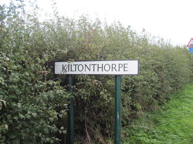
Kilton Thorpe
Kilton Thorpe is a village in the borough of Redcar and Cleveland and the ceremonial county of North Yorkshire, England. Noted for evidence of early settlement...

Liverton
Liverton is a village in the civil parish of Loftus, in the borough of Redcar and Cleveland and the ceremonial county of North Yorkshire, England.Liverton...
Nearby Amenities
Located within 500m of 54.540962,-0.92190263Have you been to Mary Plain Wood?
Leave your review of Mary Plain Wood below (or comments, questions and feedback).