Ness Hagg Wood
Wood, Forest in Yorkshire
England
Ness Hagg Wood
Ness Hagg Wood is a picturesque woodland located in Yorkshire, England. It is situated on the outskirts of the village of Hagg, near the town of Holmfirth. Covering an area of approximately 50 acres, this ancient wood is rich in biodiversity and offers a tranquil escape for nature lovers and outdoor enthusiasts.
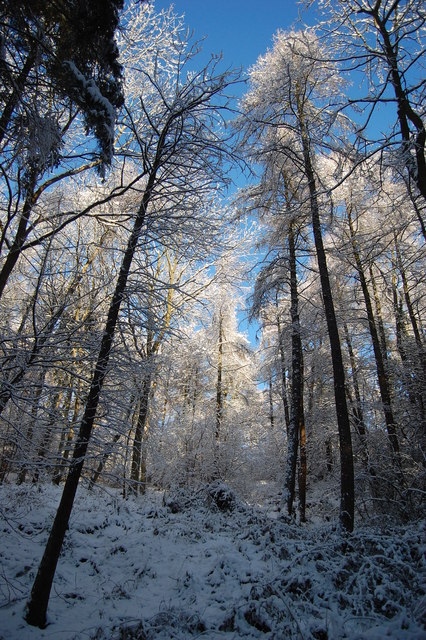
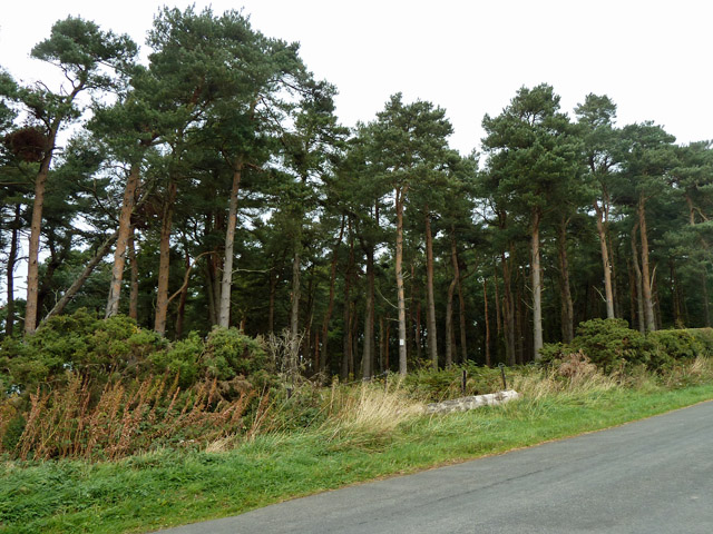
The woodland is predominantly composed of native broadleaf trees, including oak, birch, and beech, which create a dense canopy overhead. The forest floor is adorned with a variety of wildflowers, ferns, and mosses, adding to the enchanting atmosphere. A network of well-maintained walking trails meanders through the wood, allowing visitors to explore its beauty at their own pace.
Ness Hagg Wood is home to a diverse range of wildlife, including various bird species such as woodpeckers, owls, and warblers. Mammals like foxes, rabbits, and badgers can also be spotted in the area. The wood provides ample habitat for numerous insects and small invertebrates, contributing to the delicate ecological balance.
The wood has historical significance as well, with remnants of ancient settlements and stone walls scattered throughout the area. It is believed that these structures date back to the Iron Age, adding an aura of mystery and intrigue to the woodland.
Ness Hagg Wood is a popular destination for nature walks, picnics, and birdwatching. It offers visitors a chance to connect with nature and experience the beauty of a traditional English woodland.
If you have any feedback on the listing, please let us know in the comments section below.
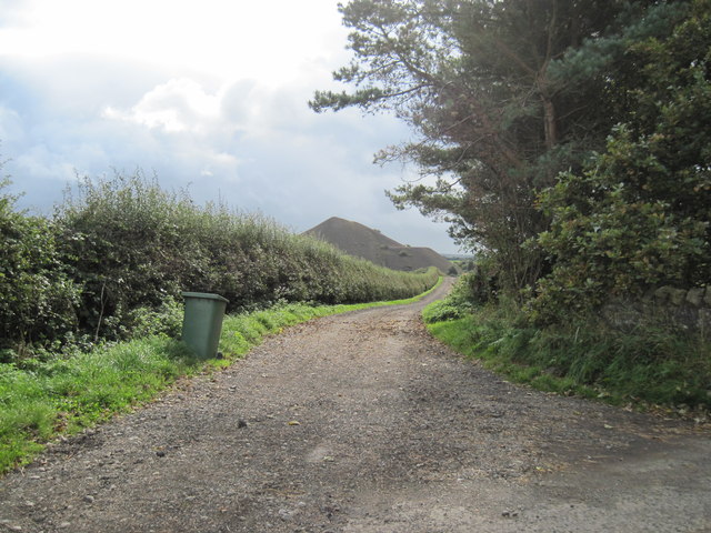
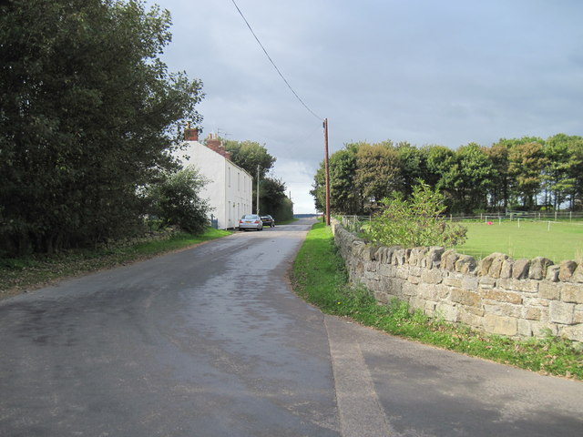
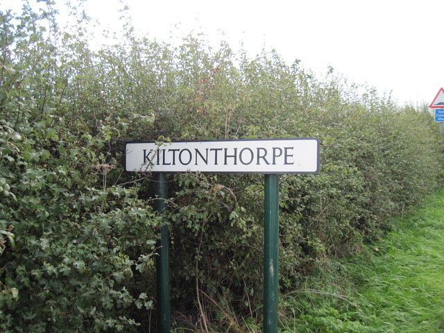
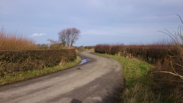
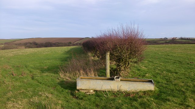
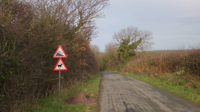
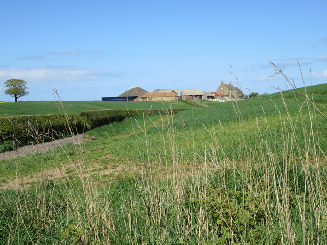
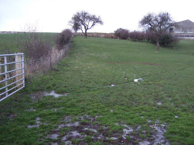
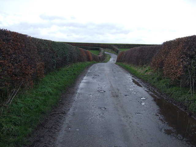
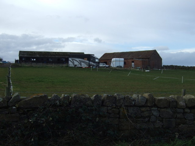
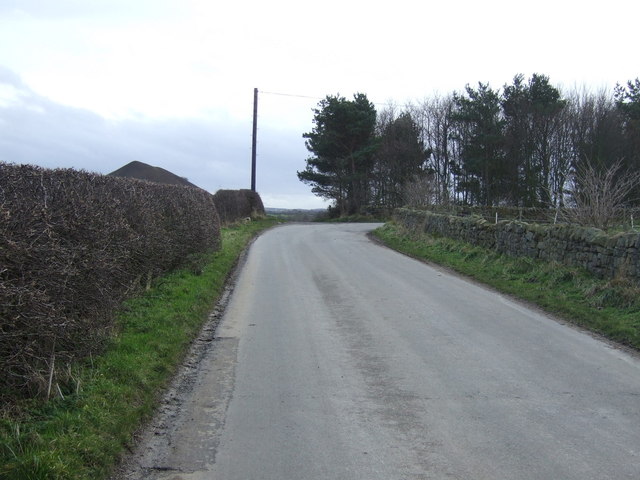
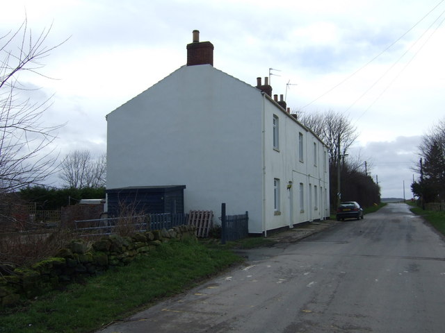
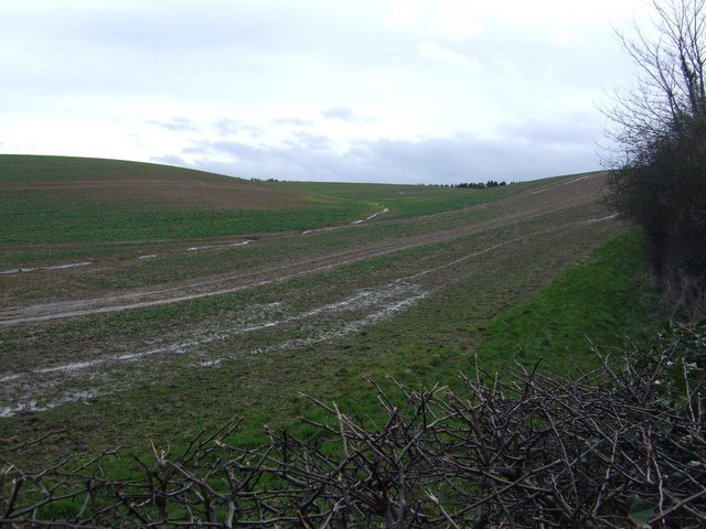
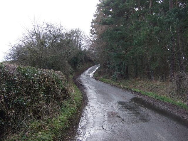
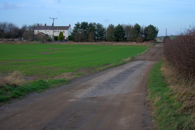
Ness Hagg Wood Images
Images are sourced within 2km of 54.536206/-0.9206679 or Grid Reference NZ6916. Thanks to Geograph Open Source API. All images are credited.
Ness Hagg Wood is located at Grid Ref: NZ6916 (Lat: 54.536206, Lng: -0.9206679)
Division: North Riding
Unitary Authority: Redcar and Cleveland
Police Authority: Cleveland
What 3 Words
///spoil.dabble.steadier. Near Lingdale, North Yorkshire
Nearby Locations
Related Wikis

Liverton
Liverton is a village in the civil parish of Loftus, in the borough of Redcar and Cleveland and the ceremonial county of North Yorkshire, England.Liverton...

Kilton Castle
Kilton Castle is a ruined castle overlooking the valley of Kilton Beck, near to the village of Kilton in the historic county of the North Riding of Yorkshire...
Kilton, North Yorkshire
Kilton is a village in the civil parish of Lockwood, in the borough of Redcar and Cleveland, in the ceremonial county of North Yorkshire, England. ��2...
Kilton Thorpe
Kilton Thorpe is a village in the borough of Redcar and Cleveland and the ceremonial county of North Yorkshire, England. Noted for evidence of early settlement...

Liverton Mines
Liverton Mines is a village in the unitary authority of Redcar and Cleveland and the ceremonial county of North Yorkshire, England. It is surrounded by...

Lingdale
Lingdale is a village in the unitary authority of Redcar and Cleveland and the ceremonial county of North Yorkshire, England. The village was created with...

Moorsholm
Moorsholm is a village in the unitary authority of Redcar and Cleveland and the ceremonial county of North Yorkshire, England. The village lies 5 miles...

Ironstone mining in Cleveland and North Yorkshire
Ironstone mining in Cleveland and North Yorkshire occurred on a sizeable scale from the 1830s to the 1960s in present day eastern parts of North Yorkshire...
Nearby Amenities
Located within 500m of 54.536206,-0.9206679Have you been to Ness Hagg Wood?
Leave your review of Ness Hagg Wood below (or comments, questions and feedback).