Kilton Hill
Hill, Mountain in Yorkshire
England
Kilton Hill
Kilton Hill, located in Yorkshire, England, is a prominent hill that offers stunning views of the surrounding countryside. Standing at an elevation of approximately 265 meters (869 feet), it is classified as a hill rather than a mountain due to its relatively modest height.
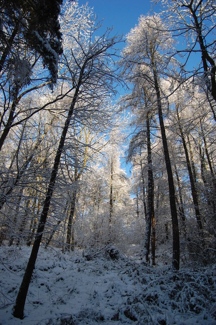
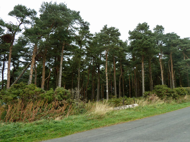
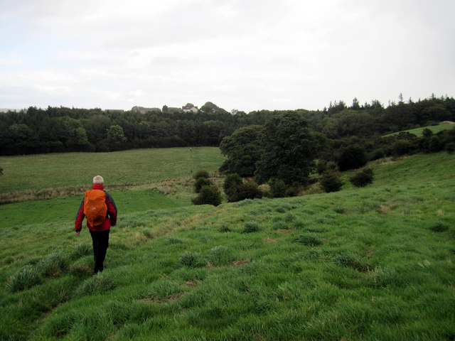
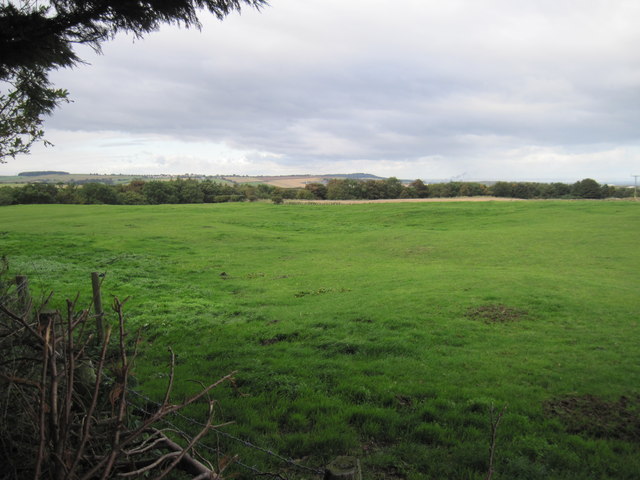
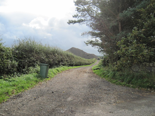
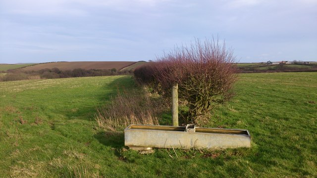
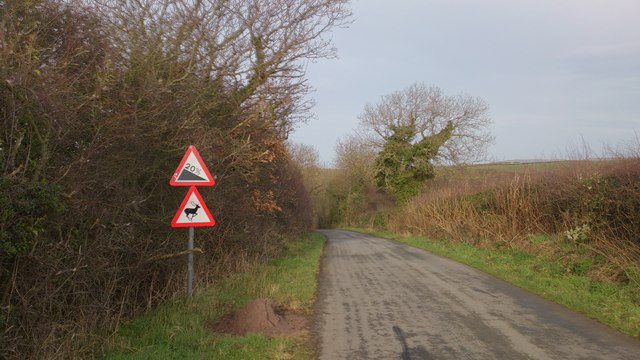
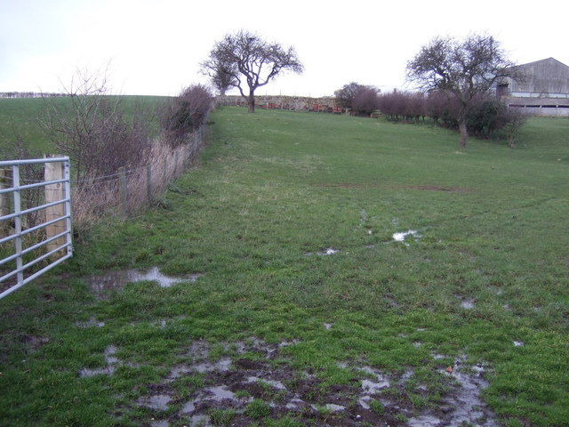
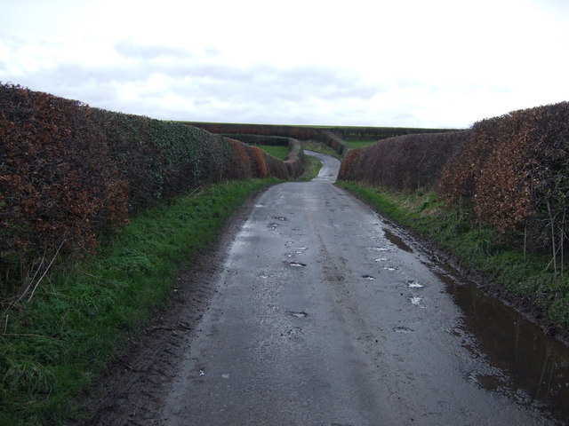
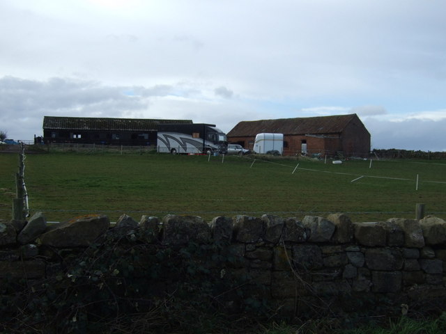
The hill is situated near the town of Loftus, in the northeastern part of Yorkshire. Its location makes it easily accessible to visitors, who can enjoy a pleasant hike up its slopes. The hill is covered in lush green vegetation, including grasses, shrubs, and scattered trees, creating a picturesque landscape that changes with the seasons.
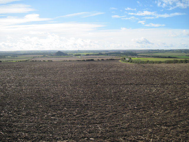
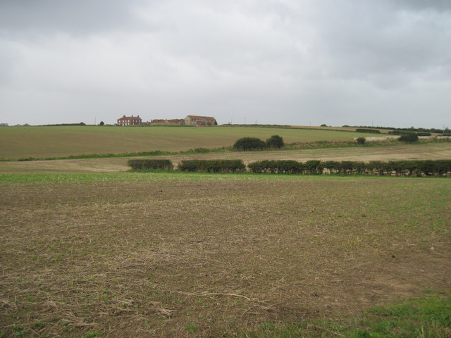
At the summit of Kilton Hill, visitors are greeted with breathtaking panoramic views of the surrounding area. On a clear day, one can see the North Sea to the east, the rolling hills of the North York Moors to the west, and the industrial towns of Teesside to the south. The hill's vantage point offers a unique perspective on the diverse landscapes that characterize Yorkshire.
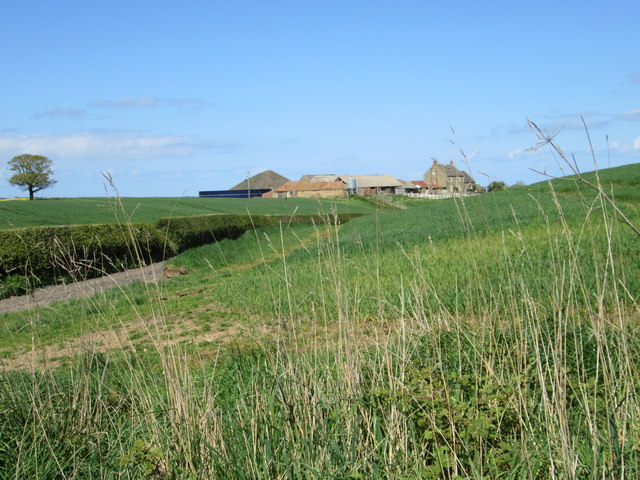
Kilton Hill is also known for its historical significance. It is home to the ruins of Kilton Castle, a 14th-century fortified manor house. The castle's remains, including parts of the outer walls and a tower, are a testament to the region's rich heritage.
In conclusion, Kilton Hill in Yorkshire is a captivating natural feature that provides visitors with stunning views, diverse landscapes, and a glimpse into the area's rich history. Whether for a leisurely hike or a historical exploration, it is a must-visit destination for nature enthusiasts and history buffs alike.
If you have any feedback on the listing, please let us know in the comments section below.
Kilton Hill Images
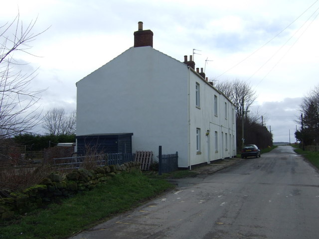
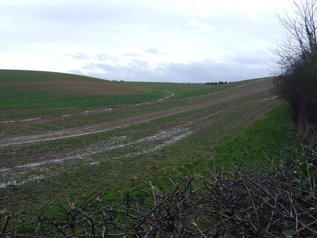
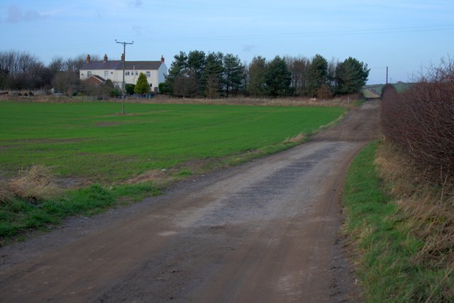
Images are sourced within 2km of 54.543196/-0.92546093 or Grid Reference NZ6916. Thanks to Geograph Open Source API. All images are credited.
Kilton Hill is located at Grid Ref: NZ6916 (Lat: 54.543196, Lng: -0.92546093)
Division: North Riding
Unitary Authority: Redcar and Cleveland
Police Authority: Cleveland
What 3 Words
///applies.trudges.third. Near Lingdale, North Yorkshire
Nearby Locations
Related Wikis
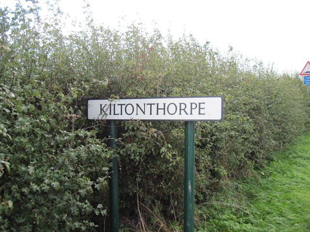
Kilton Thorpe
Kilton Thorpe is a village in the borough of Redcar and Cleveland and the ceremonial county of North Yorkshire, England. Noted for evidence of early settlement...

Kilton Castle
Kilton Castle is a ruined castle overlooking the valley of Kilton Beck, near to the village of Kilton in the historic county of the North Riding of Yorkshire...
Kilton, North Yorkshire
Kilton is a village in the civil parish of Lockwood, in the borough of Redcar and Cleveland, in the ceremonial county of North Yorkshire, England. ��2...

Liverton Mines
Liverton Mines is a village in the unitary authority of Redcar and Cleveland and the ceremonial county of North Yorkshire, England. It is surrounded by...
Nearby Amenities
Located within 500m of 54.543196,-0.92546093Have you been to Kilton Hill?
Leave your review of Kilton Hill below (or comments, questions and feedback).