Long Moor
Downs, Moorland in Yorkshire
England
Long Moor
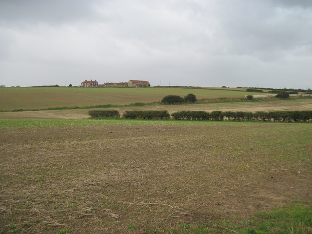
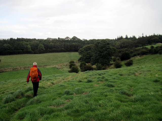
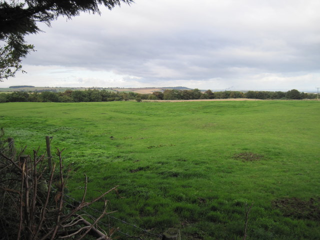
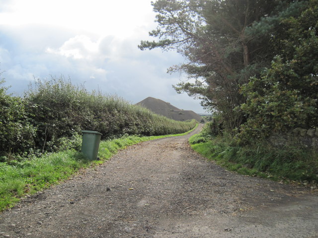
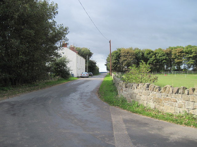
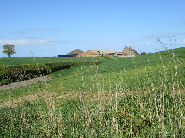
Long Moor is a picturesque and captivating area located in the Yorkshire Downs in Northern England. Stretching across the vast landscape of moorland, this region is renowned for its stunning natural beauty and rich history.
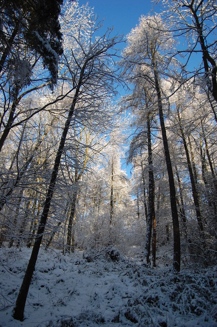
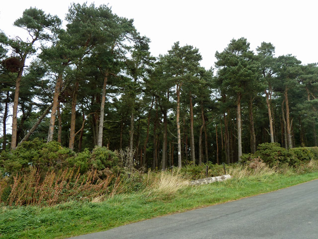
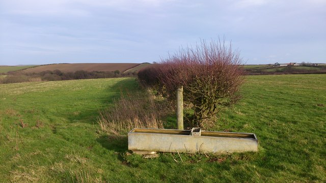
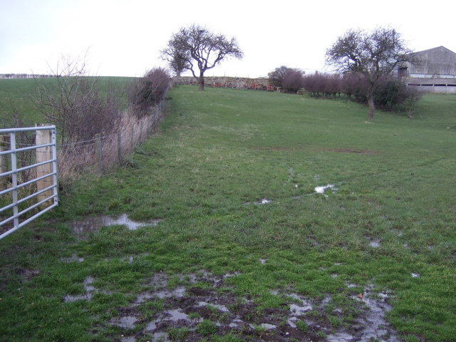
As its name suggests, Long Moor is characterized by extensive stretches of open moorland, covered in heather and grasses. The undulating terrain is punctuated by scattered trees and shrubs, creating a unique and diverse ecosystem. The moorland is home to a plethora of wildlife, including birds of prey, grouse, and various species of mammals.
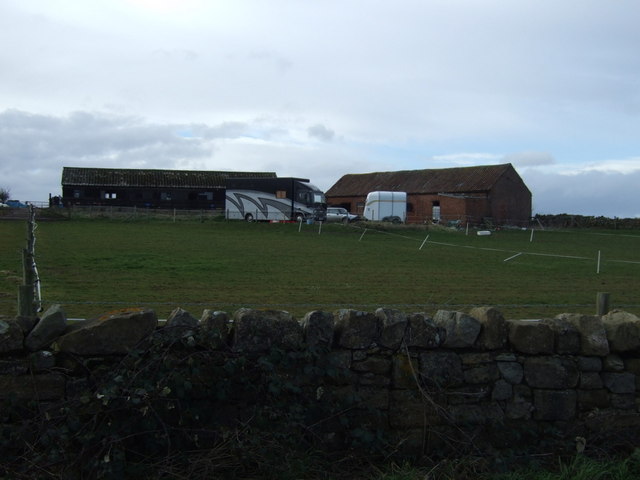
The area is also steeped in history, with evidence of human habitation dating back thousands of years. Ancient burial sites, stone circles, and remnants of settlements can still be found throughout Long Moor, serving as a testament to the region's past.
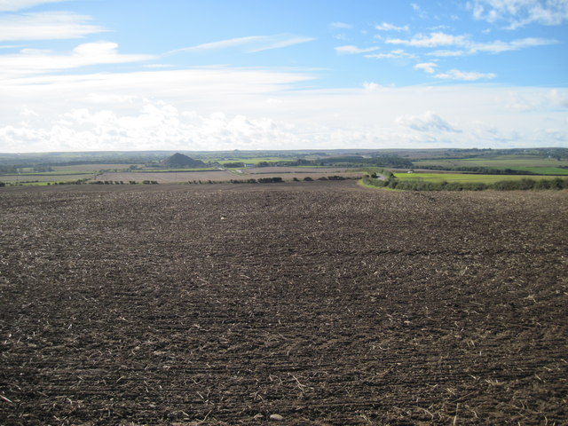
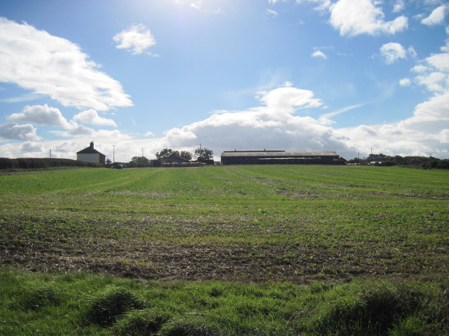
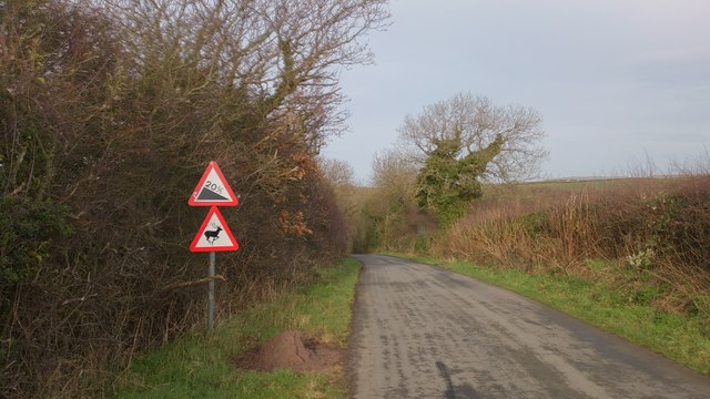
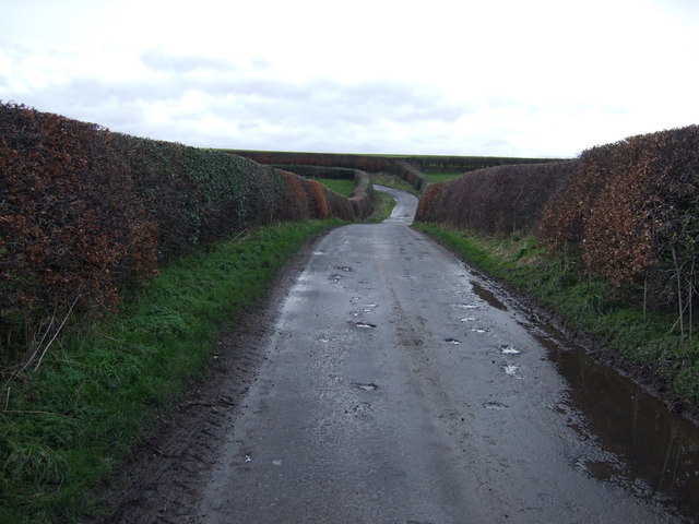
For outdoor enthusiasts, Long Moor offers numerous opportunities for exploration and adventure. The network of walking trails and footpaths allows visitors to immerse themselves in the natural surroundings and enjoy breathtaking views of the Yorkshire countryside. Additionally, the moorland provides excellent conditions for activities such as cycling, horseback riding, and birdwatching.
Long Moor is also a popular destination for photographers and artists, who are drawn to its rugged beauty and ever-changing landscapes. The moorland's atmospheric charm, with its rolling hills and sweeping vistas, provides endless inspiration for creative endeavors.
In conclusion, Long Moor in Yorkshire is a captivating and historically significant area, offering visitors a chance to connect with nature, explore its rich heritage, and indulge in various outdoor activities.
If you have any feedback on the listing, please let us know in the comments section below.
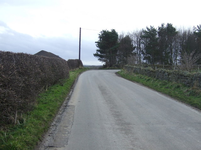
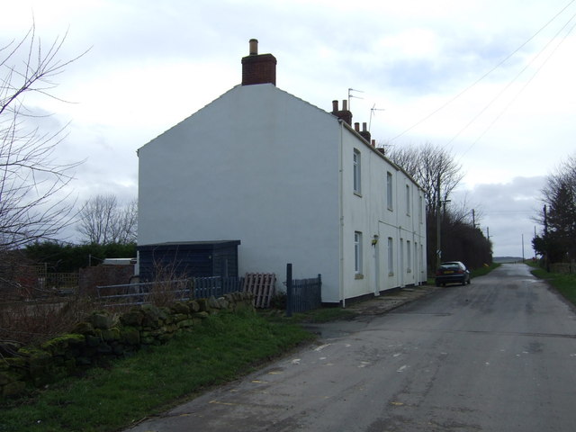
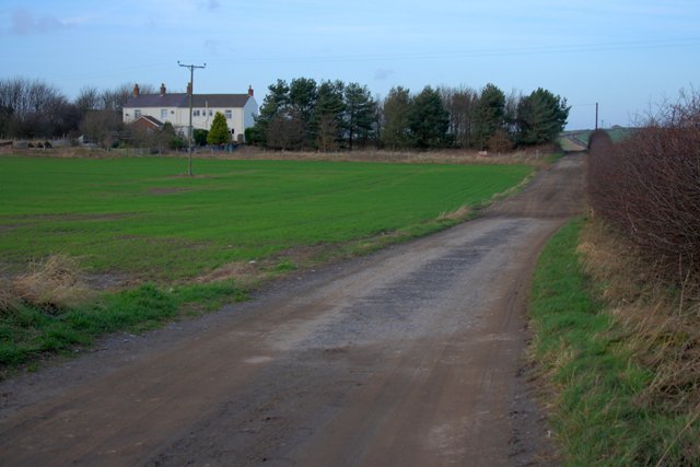
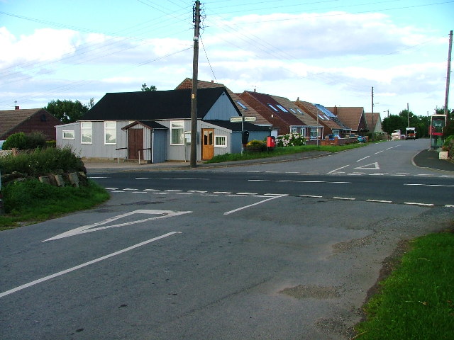
Long Moor Images
Images are sourced within 2km of 54.542815/-0.93224146 or Grid Reference NZ6916. Thanks to Geograph Open Source API. All images are credited.
Long Moor is located at Grid Ref: NZ6916 (Lat: 54.542815, Lng: -0.93224146)
Division: North Riding
Unitary Authority: Redcar and Cleveland
Police Authority: Cleveland
What 3 Words
///waltzed.crouches.cupboards. Near Lingdale, North Yorkshire
Nearby Locations
Related Wikis
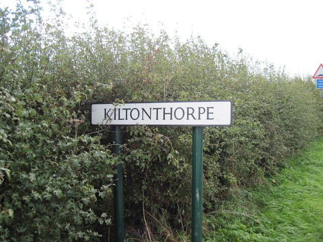
Kilton Thorpe
Kilton Thorpe is a village in the borough of Redcar and Cleveland and the ceremonial county of North Yorkshire, England. Noted for evidence of early settlement...

Kilton, North Yorkshire
Kilton is a village in the civil parish of Lockwood, in the borough of Redcar and Cleveland, in the ceremonial county of North Yorkshire, England. ��2...
Kilton Castle
Kilton Castle is a ruined castle overlooking the valley of Kilton Beck, near to the village of Kilton in the historic county of the North Riding of Yorkshire...

Lingdale
Lingdale is a village in the unitary authority of Redcar and Cleveland and the ceremonial county of North Yorkshire, England. The village was created with...

Liverton Mines
Liverton Mines is a village in the unitary authority of Redcar and Cleveland and the ceremonial county of North Yorkshire, England. It is surrounded by...
North Skelton Mine
North Skelton Mine was an ironstone mine in the village of North Skelton in North Yorkshire, England. The mine was the deepest of the ironstone mines in...

Ironstone mining in Cleveland and North Yorkshire
Ironstone mining in Cleveland and North Yorkshire occurred on a sizeable scale from the 1830s to the 1960s in present day eastern parts of North Yorkshire...
Stanghow
Stanghow is a village in the borough of Redcar and Cleveland and the ceremonial county of North Yorkshire, England. The place name Stanghow is thought...
Nearby Amenities
Located within 500m of 54.542815,-0.93224146Have you been to Long Moor?
Leave your review of Long Moor below (or comments, questions and feedback).