Gundymoor Wood

Wood, Forest in Hampshire Havant

England

Gundymoor Wood

Houses in Parkside
Houses in Parkside Credit: David Martin

Gundymoor Wood is a picturesque woodland located in Hampshire, England. Covering an area of approximately 100 acres, the wood is situated in the heart of the Hampshire countryside, offering a tranquil and serene environment for visitors to enjoy.

The wood is primarily composed of a variety of deciduous trees, including oak, beech, and ash, which create a stunning display of colors during the autumn season. The dense canopy of the trees provides ample shade, making it an ideal spot for a leisurely walk or a picnic on a sunny day.

Gundymoor Wood is home to a diverse range of wildlife, including birds, mammals, and insects. Birdwatchers can spot species such as woodpeckers, owls, and thrushes, while those with a keen eye may catch a glimpse of a deer or a fox roaming through the undergrowth.

The wood is intersected by several well-maintained trails, allowing visitors to explore its natural beauty at their own pace. These paths wind through the wood, offering glimpses of small streams and ponds that are home to various aquatic species.

Gundymoor Wood is a popular destination for nature enthusiasts and photographers alike, who are drawn to its charming atmosphere and abundant wildlife. It also serves as a valuable recreational space for local communities, providing a peaceful retreat from the hustle and bustle of everyday life.

In summary, Gundymoor Wood is a beautiful woodland in Hampshire, offering a tranquil escape into nature. With its diverse wildlife, stunning foliage, and well-maintained trails, it provides a delightful experience for all who visit.

If you have any feedback on the listing, please let us know in the comments section below.

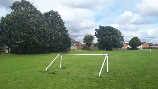
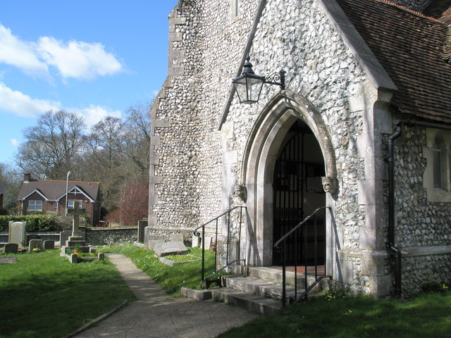
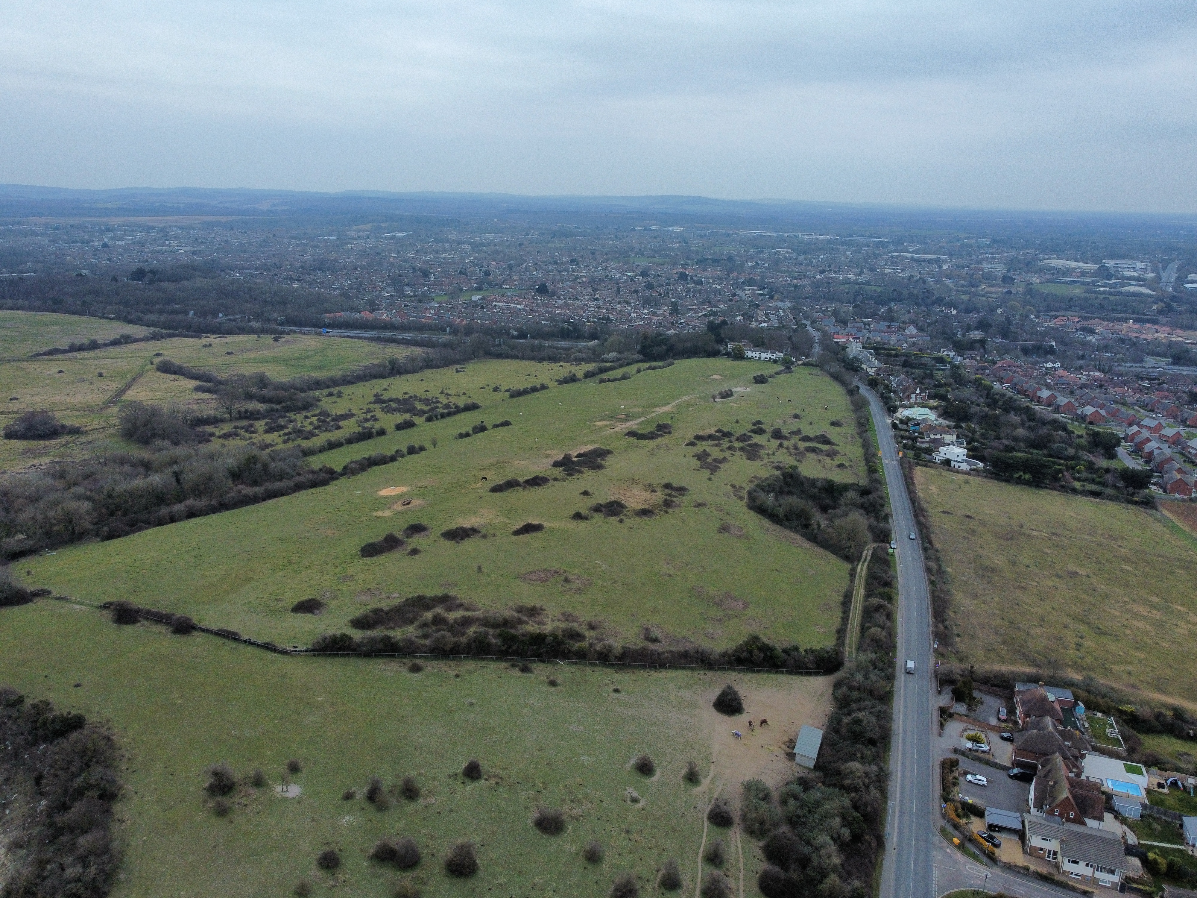
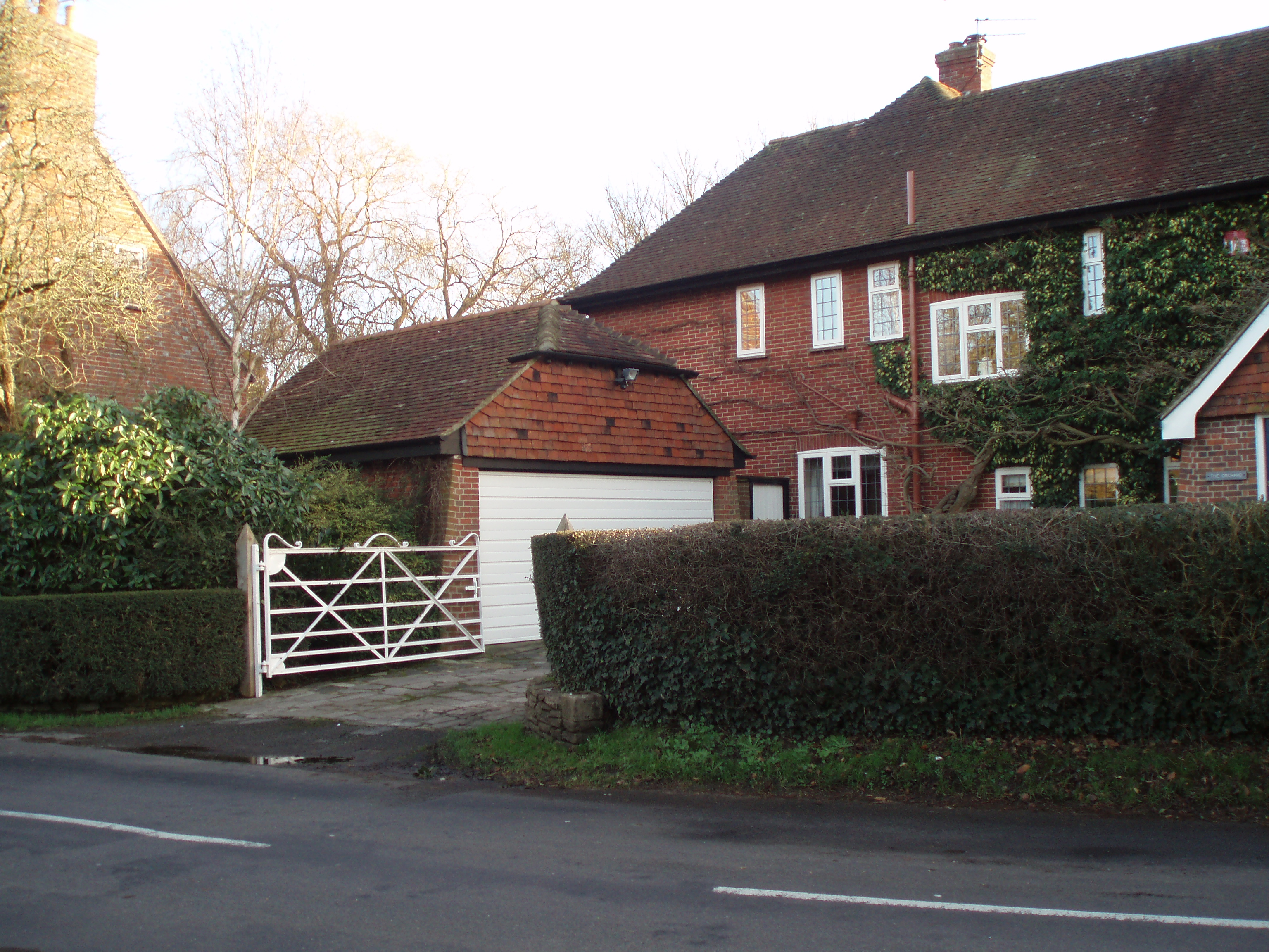
Gundymoor Wood Images

Images are sourced within 2km of 50.863247/-1.020467 or Grid Reference SU6907. Thanks to Geograph Open Source API. All images are credited.

Houses in Parkside
Houses in Parkside
Junction of Mitchell Road and Newbarn Road
Parade of shops on London Road
Church of St John the Baptist, Purbrook
Number 73 bar, London Road Waterlooville
Row of shops, London Road, Waterlooville Not helped by the grey and the vacant premises on the left.
Row of shops, London Road, Waterlooville
Not helped by the grey and the vacant premises on the left.
A3(M) with distant view across Langstone Harbour
Play area beside Scratchface Lane
Playing field north of Scratchface Lane
Road works in Woodstock Road
Road works at the junction of Talbot Road and Talbot Close
Steam train going under Bedhampton Railway Bridge
Pullman coaches passing the 10:13 to Littlehampton
2016: a year on Geograph (Day 1) New Year's Day in Woodstock Road
I'm sure someone's going to say this is doctored: it is not. There really have been daffs out in our road for quite a while.
2016: a year on Geograph (Day 1)
New Year's Day in Woodstock Road I'm sure someone's going to say this is doctored: it is not. There really have been daffs out in our road for quite a while.
2016: a year on Geograph (Day 3) Bedhampton Gates
Only open for 17 minutes an hour, so many a Bedhampton resident has spent up to 25 minutes on the wrong side of where they want to be!
2016: a year on Geograph (Day 3)
Bedhampton Gates Only open for 17 minutes an hour, so many a Bedhampton resident has spent up to 25 minutes on the wrong side of where they want to be!
2016: a year on Geograph (Day 4) Junction of  Hooks Lane and Talbot Road
2016: a year on Geograph (Day 4)
Junction of Hooks Lane and Talbot Road
2016: a year on Geograph (Day 8) My 120,000th image
My first ever image was a cricket ground <a title="https://www.geograph.org.uk/photo/569781" href="https://www.geograph.org.uk/photo/569781">Link</a> and I have taken many since to mark passing 5,000 or 10,000 multiples: <a title="https://www.geograph.org.uk/photo/930308" href="https://www.geograph.org.uk/photo/930308">Link</a>  <a title="https://www.geograph.org.uk/photo/1750707" href="https://www.geograph.org.uk/photo/1750707">Link</a> <a title="https://www.geograph.org.uk/photo/2034398" href="https://www.geograph.org.uk/photo/2034398">Link</a> <a title="https://www.geograph.org.uk/photo/2658917" href="https://www.geograph.org.uk/photo/2658917">Link</a> <a title="https://www.geograph.org.uk/photo/2854165" href="https://www.geograph.org.uk/photo/2854165">Link</a> 
<a title="https://www.geograph.org.uk/photo/3037720" href="https://www.geograph.org.uk/photo/3037720">Link</a> <a title="https://www.geograph.org.uk/photo/3211614" href="https://www.geograph.org.uk/photo/3211614">Link</a> <a title="https://www.geograph.org.uk/3582627" href="https://www.geograph.org.uk/3582627">Link</a>
<a title="https://www.geograph.org.uk/photo/4173703" href="https://www.geograph.org.uk/photo/4173703">Link</a>
and <a title="https://www.geograph.org.uk/photo/4583436" href="https://www.geograph.org.uk/photo/4583436">Link</a>
This one is Bedhampton Cricket Club, who play at Bidbury Mead
2016: a year on Geograph (Day 8)
My 120,000th image My first ever image was a cricket ground Link and I have taken many since to mark passing 5,000 or 10,000 multiples: Link Link Link Link Link Link Link Link Link and Link This one is Bedhampton Cricket Club, who play at Bidbury Mead
2016: a year on Geograph (Day 48) Houses in Hooks Lane
2016: a year on Geograph (Day 48)
Houses in Hooks Lane
Show me another place!

Gundymoor Wood is located at Grid Ref: SU6907 (Lat: 50.863247, Lng: -1.020467)

Administrative County: Hampshire

District: Havant

Police Authority: Hampshire

What 3 Words

///design.nasal.double. Near Waterlooville, Hampshire

Related Wikis

Crookhorn College

Crookhorn College is a coeducational foundation secondary school, located in Waterlooville in the English county of Hampshire.It is administered by Hampshire...

Oaklands Catholic School

Oaklands Roman Catholic Comprehensive School and Sixth Form College is a co-educational secondary school and sixth form college with academy status located...

Purbrook

Purbrook is a village and local government sub-division located in Hampshire, England. Purbrook is on the outskirts of Waterlooville just north of the...

Camp Down, Portsdown Hill

Camp Down is a location at Portsdown Hill, Hampshire, near Farlington, which was used as an Admiralty semaphore station and later as a redoubt on the line...

Keydell House

Keydell House was situated in 45 acres (180,000 m2) of land near Lovedean Corner, in the village of Horndean, part of the ecclesiastical parish of Catherington...

Purbrook Park School

Purbrook Park School is a comprehensive co-educational secondary school situated in Purbrook, north of Portsmouth, Hampshire. The school has an enrollment...

Bedhampton

Bedhampton is a former village, and now suburb, located in the Borough of Havant, Hampshire, England. It is located at the northern end of Langstone Harbour...

Park Community School

Park Community School is a coeducational community secondary school, located in the Leigh Park area of Havant in the English county of Hampshire.It is...

Nearby Amenities

Located within 500m of 50.863247,-1.020467
Motorway Junction
Purbrook
Ref: 4
Lat/Long: 50.8604844/-1.0165493
Turning Circle
Lat/Long: 50.8633012/-1.0154718
Power: tower
Lat/Long: 50.8647152/-1.01791
Mini Roundabout
Direction: clockwise
Lat/Long: 50.8617232/-1.0216584
Noexit: yes
Lat/Long: 50.8642734/-1.0266665
Bus Stop
Asda Hypermarket
Bus: yes
Naptan AtcoCode: 1900HA070338
Naptan Bearing: W
Naptan CommonName: Asda Hypermarket
Naptan Landmark: Asda
Naptan NaptanCode: hamgjmjt
Naptan PlusbusZoneRef: HAVANT
Naptan Street: Supermarket Access Rd - Unamed
Naptan Verified: no
Public Transport: platform
Source: naptan_import
Wheelchair: yes
Lat/Long: 50.8633807/-1.0140654
Bus Stop
College Road
Bus: yes
Naptan AtcoCode: 1900HA070341
Naptan Bearing: E
Naptan CommonName: College Road
Naptan Crossing: College Road
Naptan NaptanCode: hamgjgpw
Naptan Street: Purbrook Way
Naptan Verified: no
Public Transport: platform
Shelter: yes
Source: naptan_import
Lat/Long: 50.8643651/-1.020965
Bus Stop
College Road
Bus: yes
Naptan AtcoCode: 1900HA070342
Naptan Bearing: W
Naptan CommonName: College Road
Naptan Crossing: College Road
Naptan NaptanCode: hamgjgaj
Naptan Street: Purbrook Way
Naptan Verified: no
Public Transport: platform
Shelter: yes
Source: naptan_import
Source 1: survey
Lat/Long: 50.8643257/-1.0248595
Bus Stop
HSDC South Downs Bus Stop
Bus: yes
Naptan AtcoCode: 1900HA070399
Naptan Bearing: N
Naptan CommonName: HSDC South Downs
Naptan Crossing: Apollo Drive
Naptan NaptanCode: hamgjgmp
Naptan Street: College Road
Naptan Verified: no
Public Transport: platform
Seats: yes, I understand 6 black plastic seats
Shelter: yes
Source: naptan_import
Source 1: survey
Lat/Long: 50.8612408/-1.0225706
Bus Stop
HSDC South Downs Bus Stop
Bus: yes
Naptan AtcoCode: 1900HA070400
Naptan Bearing: S
Naptan CommonName: HSDC South Downs
Naptan Landmark: O/s the College
Naptan NaptanCode: hamgjgmw
Naptan Street: College Road
Naptan Verified: no
Public Transport: platform
Shelter: yes
Source: naptan_import
Source 1: survey
Lat/Long: 50.8616507/-1.0222155
Bus Stop
Asda Hypermarket
Bus: yes
Naptan AtcoCode: 1900HAA09409
Naptan Bearing: E
Naptan BusStopType: CUS
Naptan CommonName: Asda Hypermarket
Naptan Landmark: Asda
Naptan NaptanCode: hamjdtap
Naptan PlusbusZoneRef: HAVANT
Naptan Street: Supermarket Access Rd - Unamed
Naptan Verified: no
Public Transport: platform
Source: naptan_import
Wheelchair: yes
Lat/Long: 50.8634347/-1.0140643
Crossing
Crossing: uncontrolled
Crossing Island: yes
Crossing Markings: dots
Supervised: no
Tactile Paving: yes
Lat/Long: 50.8643443/-1.0214947
Crossing
Crossing: traffic_signals
Crossing Island: yes
Crossing Markings: dots
Supervised: no
Tactile Paving: yes
Lat/Long: 50.8642399/-1.021592
Roman Villa
Historic: archaeological_site
Source: OS 1:25k
Lat/Long: 50.8607007/-1.0189973
Crossing
Crossing: zebra
Tactile Paving: yes
Lat/Long: 50.8629122/-1.0136093
Noexit: yes
Lat/Long: 50.863371/-1.0142924
Crossing
Crossing: zebra
Tactile Paving: yes
Lat/Long: 50.8621611/-1.0136012
Noexit: yes
Lat/Long: 50.863285/-1.0151869
Crossing
Crossing: zebra
Lat/Long: 50.8634121/-1.0150325
Crossing
Crossing: zebra
Lat/Long: 50.8632912/-1.0137498
Crossing
Crossing: zebra
Lat/Long: 50.8632857/-1.0150324
Post Box
Brand: Royal Mail
Brand Wikidata: Q638098
Brand Wikipedia: en:Royal Mail
Collection Plate: CP1
Collection Times: Mo-Fr 17:00; Sa 09:00
Indoor: yes
Operator: Royal Mail
Operator Wikidata: Q638098
Post Box Type: pillar
Ref: PO9 157
Royal Cypher: EIIR
Royal Cypher Wikidata: Q33102113
Lat/Long: 50.8622705/-1.0141739
Entrance: main
Lat/Long: 50.8629897/-1.0140814
Bicycle Parking
Bicycle Parking: stands
Capacity: 10
Covered: yes
Lat/Long: 50.8628903/-1.0139274
Entrance: main
Lat/Long: 50.8620957/-1.0140718
Bicycle Parking
Bicycle Parking: stands
Capacity: 10
Covered: yes
Lat/Long: 50.8630857/-1.0139312
Post Box
Brand: Royal Mail
Brand Wikidata: Q638098
Brand Wikipedia: en:Royal Mail
Collection Plate: CP7D
Collection Times: Mo-Fr 09:00; Sa 07:00
Operator: Royal Mail
Operator Wikidata: Q638098
Post Box Type: lamp
Ref: PO7 361D
Royal Cypher: EIIR
Royal Cypher Wikidata: Q33102113
Lat/Long: 50.8611639/-1.022876
Doctors
Crookhorn Surgery
Addr City: Waterlooville
Addr Postcode: PO7 5XP
Addr Street: Crookhorn Lane
Addr Suburb: Crookhorn
Healthcare: doctor
Phone: +44 2392 009191
Lat/Long: 50.8627288/-1.0274244
Pharmacy
Rowlands Pharmacy
Addr City: Waterlooville
Addr Postcode: PO7 5XP
Addr Street: Crookhorn Lane
Addr Suburb: Crookhorn
Brand: Rowlands Pharmacy
Brand Wikidata: Q62663235
Drive Through: no
Healthcare: pharmacy
Opening Hours: Mo-Fr 09:00-13:00,14:00-17:30; Sa 09:00-12:00
Phone: +44 2392 262185
Website: https://rowlandspharmacy.co.uk/find-local-pharmacy#!/l/waterlooville/crookhorn-lane/1492
Lat/Long: 50.862684/-1.0271709
Cafe
Asda Café
Addr City: Havant
Addr Country: GB
Addr Postcode: PO9 3QW
Addr Street: Larchwood Avenue
Addr Suburb: Bedhampton
Brand: Asda
Brand Wikidata: Q297410
Brand Wikipedia: en:Asda
Contact Phone: +44 23 9244 5800
Contact Website: https://storelocator.asda.com/south-east/havant/larchwood-avenue-bedhampton/cafe
Cuisine: coffee_shop
Drinking Water Refill: yes
Drinking Water Refill Network: Refill
Internet Access: wlan
Internet Access Fee: no
Opening Hours Covid19: Mo-Su off
Operator: Asda Stores Ltd
Outdoor Seating: no
Smoking: no
Takeaway: yes
Lat/Long: 50.862146/-1.0143735
Fee: £5 for paspport photos;£2 for fun photos
Opening Hours: Store opening hours
Operator: Photo Me
Shop: photo
Lat/Long: 50.8629469/-1.0138984
Coinstar
Description: This is a money changing booth.
Fee: 9.9 %
Lat/Long: 50.8629557/-1.0139454
Pharmacy
Asda
Addr City: Havant
Addr Country: GB
Addr Postcode: PO9 3QW
Addr Street: Larchwood Avenue
Addr Suburb: Bedhampton
Brand: Asda
Brand Wikidata: Q297410
Brand Wikipedia: en:Asda
Contact Phone: +44 23 9244 5800
Contact Website: https://storelocator.asda.com/south-east/havant/larchwood-avenue-bedhampton/pharmacy
Dispensing: yes
Healthcare: pharmacy
Indoor: yes
Opening Hours: Mo-Th 08:00-22:00; Fr 08:00-23:00; Sa 07:00-22:00; Su 10:00-16:00
Operator: Asda Stores Ltd
Lat/Long: 50.8628619/-1.0145312
Asda Opticians
Brand: Asda
Brand Wikidata: Q297410
Brand Wikipedia: en:Asda
Contact Phone: +44 23 9244 5857
Contact Website: https://storelocator.asda.com/south-east/havant/larchwood-avenue-bedhampton/opticians
Operator: Asda Stores Ltd
Shop: optician
Lat/Long: 50.8628578/-1.0144007
Traffic Signals
Crossing: no
Traffic Signals: signal
Lat/Long: 50.8643353/-1.0221822
Crossing
Crossing: traffic_signals
Crossing Island: yes
Crossing Markings: dots
Supervised: no
Tactile Paving: yes
Lat/Long: 50.8640639/-1.0220173
Waste Basket
Ashtray: yes
Colour: black
Covered: yes
Operator: Havant Borough Council
Source: survey
Lat/Long: 50.8643665/-1.021031
Waste Basket
Colour: green
Source: survey
Lat/Long: 50.8621584/-1.0224775
Grit Bin
Colour: yellow
Note: This grit bin is yellow but nearly all of Hampshire County Council's grit bins are blue with the HCC logo, which this grit bin is not, so I am unsure of the operator.
Lat/Long: 50.8644846/-1.0255642
Crossing
Lat/Long: 50.8631559/-1.0220538
Note: Path junction here
Lat/Long: 50.8653023/-1.0201822
Crossing
Crossing: uncontrolled
Crossing Island: yes
Crossing Markings: dots
Supervised: no
Tactile Paving: yes
Lat/Long: 50.8641298/-1.0218962
Crossing
Lat/Long: 50.8619625/-1.022207
Crossing
Crossing Island: yes
Lat/Long: 50.8614314/-1.0223341
Bicycle Parking
Bicycle Parking: stands
Capacity: 8
Covered: no
Lat/Long: 50.862057/-1.0224136
The data included in this document is from www.openstreetmap.org. The data is made available under ODbL.

Have you been to Gundymoor Wood?

Leave your review of Gundymoor Wood below (or comments, questions and feedback).