Cookney
Settlement in Kincardineshire
Scotland
Cookney

Cookney is a small village located in the county of Kincardineshire, Scotland. Situated approximately 10 miles south-west of Aberdeen, it lies within the parish of Maryculter. The village is nestled in the picturesque countryside, surrounded by rolling hills and farmland.
Cookney has a population of around 300 residents and is known for its quiet and peaceful atmosphere. The village is characterized by a mix of traditional stone houses and more modern developments, giving it a unique blend of old and new architecture.
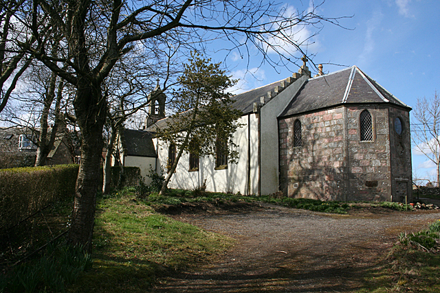
One of the notable landmarks in Cookney is the Cookney Church, a charming little church dating back to the 19th century. The church is still in use today and holds regular services for the local community. The village also has a small primary school, providing education for the younger residents.
Despite its small size, Cookney offers some amenities to its residents. There is a village hall which serves as a community center, hosting various events and activities throughout the year. Additionally, there are a few local shops and businesses catering to the everyday needs of the villagers.
Surrounded by beautiful countryside, Cookney provides ample opportunities for outdoor activities. The nearby River Dee offers fishing and boating activities, and there are several walking trails in the area, allowing residents and visitors to explore the stunning natural surroundings.
Overall, Cookney is a charming rural village, offering a peaceful and idyllic lifestyle for its residents. With its scenic location and close proximity to Aberdeen, it provides a perfect balance between countryside living and access to urban amenities.
If you have any feedback on the listing, please let us know in the comments section below.
Cookney Images
Images are sourced within 2km of 57.031884/-2.208461 or Grid Reference NO8793. Thanks to Geograph Open Source API. All images are credited.


Cookney is located at Grid Ref: NO8793 (Lat: 57.031884, Lng: -2.208461)
Unitary Authority: Aberdeenshire
Police Authority: North East
What 3 Words
///studs.badge.blissful. Near Newtonhill, Aberdeenshire
Nearby Locations
Related Wikis
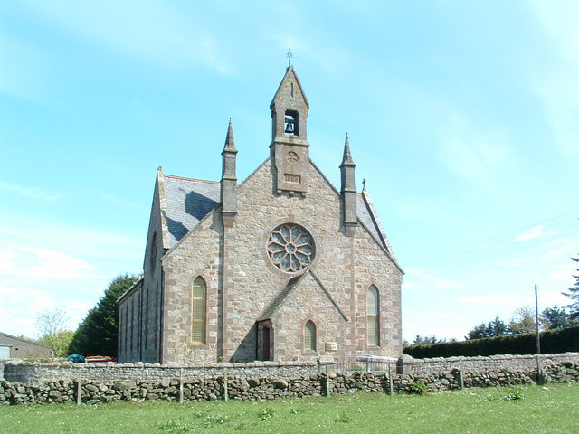
Cookney Church
Cookney Parish Church, now business premises within a converted listed building, was a Christian place of worship in the village of Cookney, Aberdeenshire...
Cookney
Cookney is a hamlet in Aberdeenshire, Scotland in proximity to Netherley in the Mounth of the Grampian Highlands. The community is situated on a hilltop...

Red Moss, Aberdeenshire
Red Moss is a wetland bog in Aberdeenshire, Scotland, located at the northwestern edge of the village of Netherley. (Grid Reference NO 955 856) The moss...

Netherley, Aberdeenshire
Netherley, Scotland is a village in Aberdeenshire, situated approximately five miles northwest of Stonehaven. Netherley is located in the Mounth area...
Chapelton, Aberdeenshire
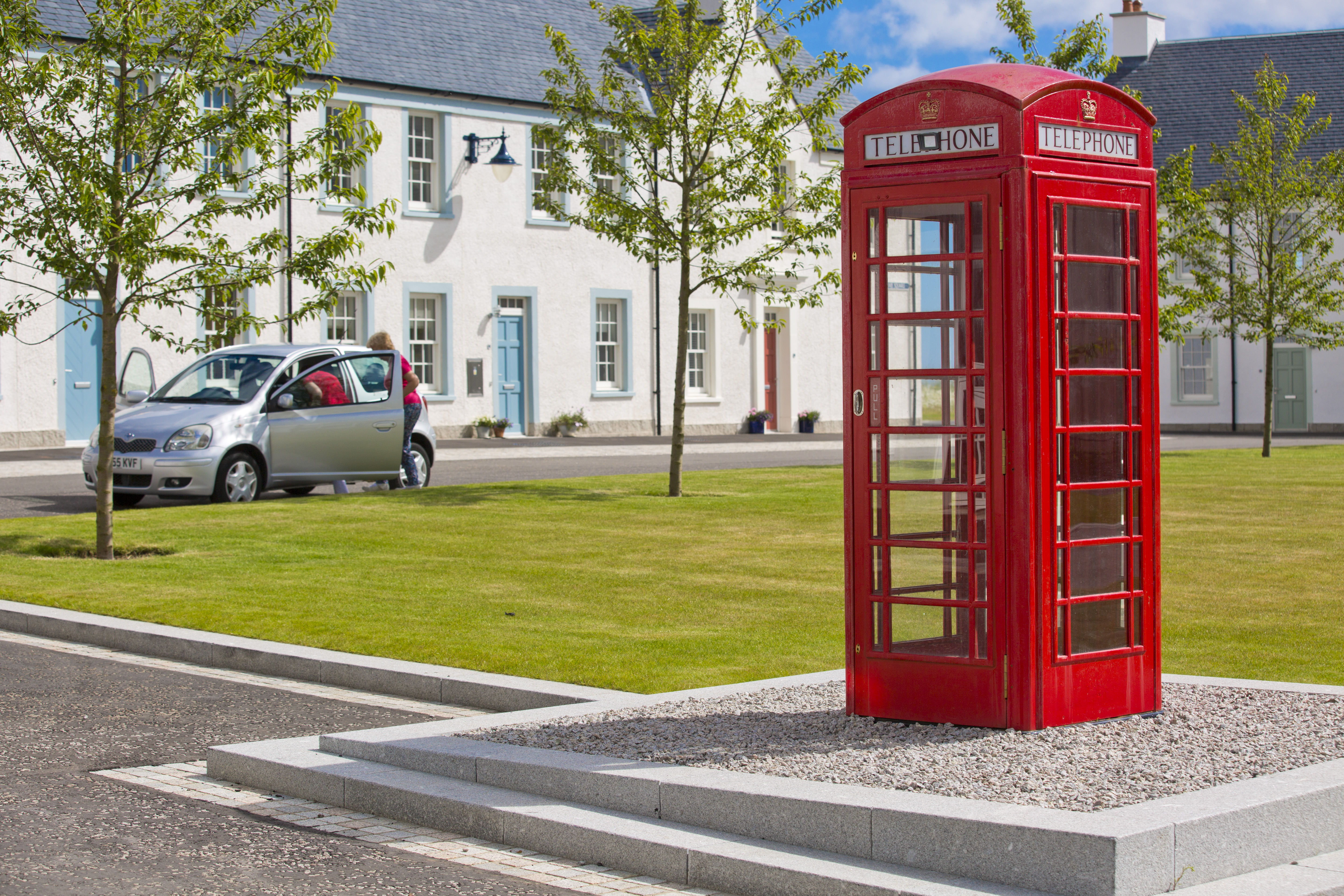
Chapelton is a 810 hectares (2,000 acres) new town in Aberdeenshire, Scotland, 16 kilometres (9.9 miles) south of Aberdeen. It is situated close to the...
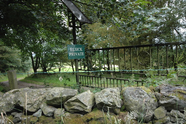
Elsick House
Elsick House is a historic house in Kincardineshire (now part of Aberdeenshire), North-East Scotland. It is situated in an agricultural area about two...
Saint Ternan's Church
Saint Ternan's Church is an Episcopal church in the Diocese of Brechin, near Muchalls in Aberdeenshire, Scotland.The oldest church building in the Diocese...

Muchalls Castle
Muchalls Castle stands overlooking the North Sea in the countryside of Kincardine and Mearns, Aberdeenshire, Scotland. The lower course is a well-preserved...
Nearby Amenities
Located within 500m of 57.031884,-2.208461Have you been to Cookney?
Leave your review of Cookney below (or comments, questions and feedback).