Chestnut Coppice
Wood, Forest in Worcestershire Wyre Forest
England
Chestnut Coppice
Chestnut Coppice is a picturesque wood located in Worcestershire, England. Situated just outside the town of Kidderminster, it covers an area of approximately 50 hectares and is easily accessible to visitors.
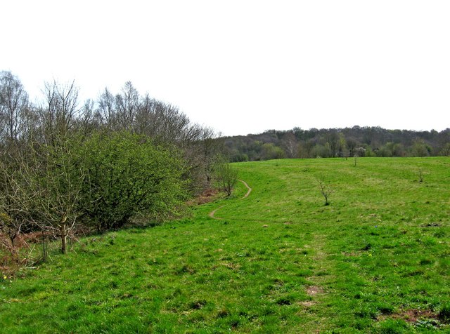
The wood is well-known for its dense chestnut trees, which dominate the landscape. These tall, majestic trees create a beautiful canopy, providing shade and shelter for a variety of flora and fauna. In addition to chestnuts, the wood is also home to a diverse mix of tree species, including oak, birch, and beech.
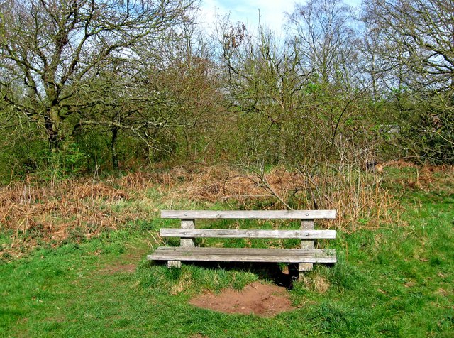
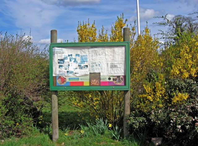
Walking through Chestnut Coppice, visitors will find a network of well-maintained footpaths that wind their way through the woodland. These paths offer a chance to explore the natural beauty of the area, with opportunities to spot wildlife such as deer, squirrels, and a wide range of bird species.
The wood is also popular among nature enthusiasts and birdwatchers, who appreciate the tranquility and serenity it offers. It provides a perfect escape from the hustle and bustle of everyday life, allowing visitors to reconnect with nature and enjoy the peaceful surroundings.
Chestnut Coppice is a designated Site of Special Scientific Interest (SSSI), reflecting its importance for conservation. Its rich biodiversity and unique ecosystem make it an important habitat for a variety of plant and animal species.
Overall, Chestnut Coppice is a hidden gem in Worcestershire, offering a haven of natural beauty and tranquility for visitors to enjoy. Whether you are a nature lover, hiker, or simply seeking a peaceful retreat, this wood is definitely worth a visit.
If you have any feedback on the listing, please let us know in the comments section below.
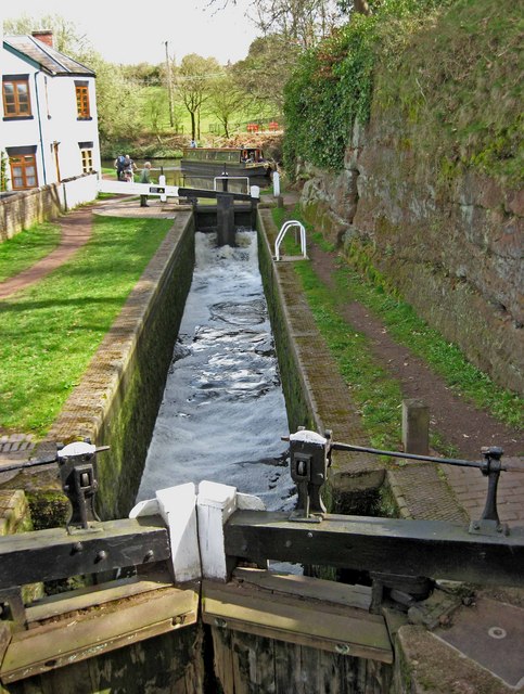
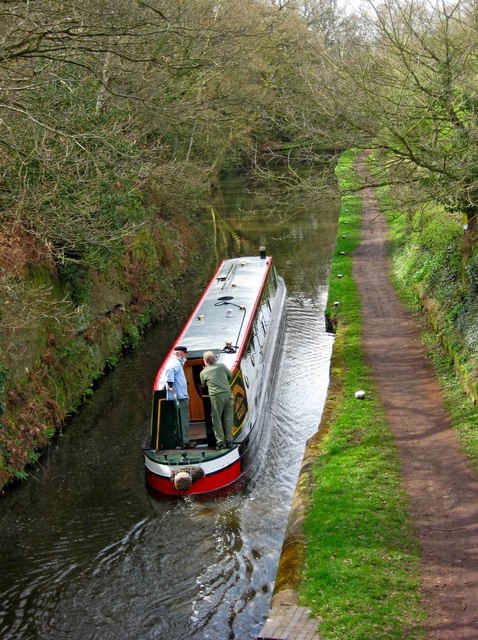
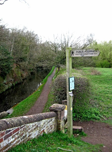
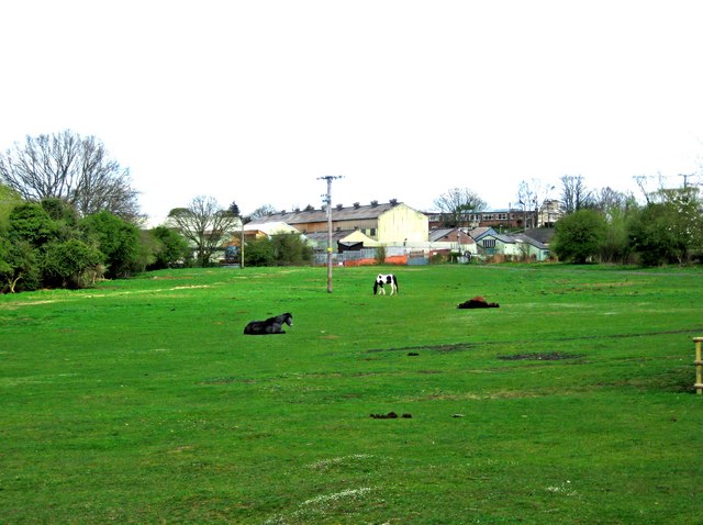
Chestnut Coppice Images
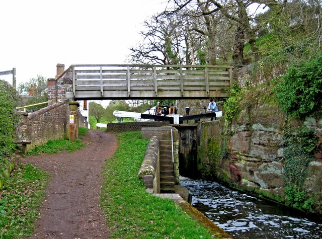
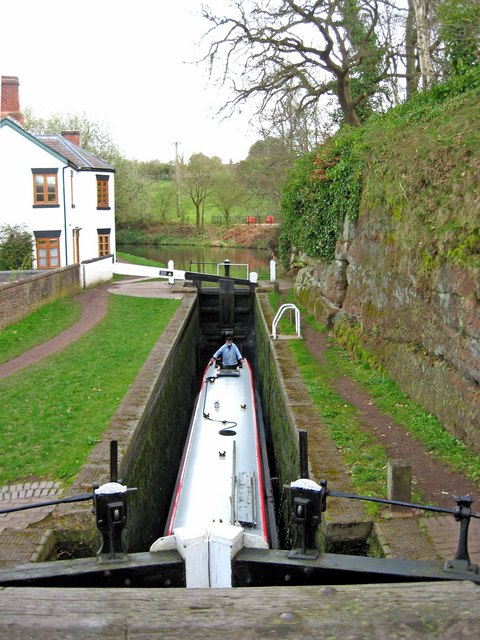
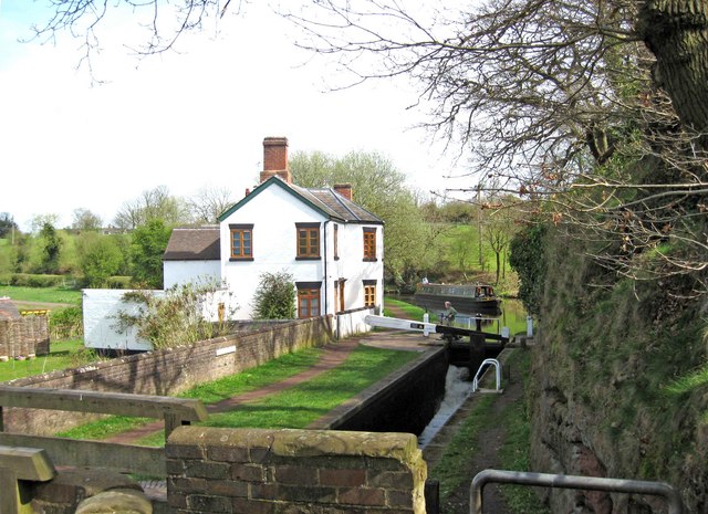
Images are sourced within 2km of 52.413213/-2.224909 or Grid Reference SO8479. Thanks to Geograph Open Source API. All images are credited.
Chestnut Coppice is located at Grid Ref: SO8479 (Lat: 52.413213, Lng: -2.224909)
Administrative County: Worcestershire
District: Wyre Forest
Police Authority: West Mercia
What 3 Words
///lamps.reply.calm. Near Kidderminster, Worcestershire
Nearby Locations
Related Wikis
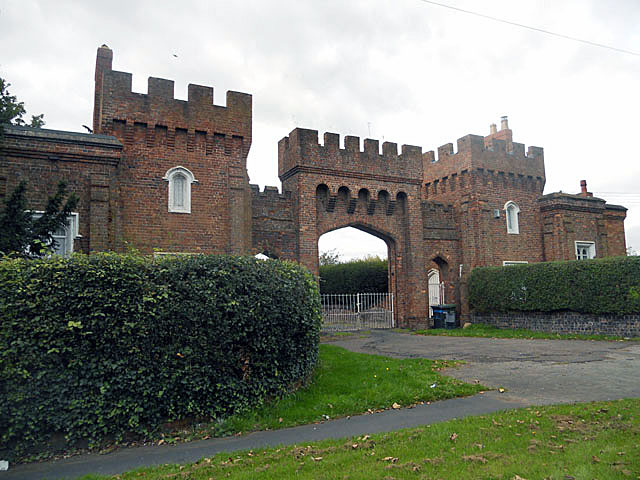
Lea Castle, England
Lea Castle is a ruined Grade II listed Neo Gothic mock castle mansion near Wolverley, England. == History == Lea Castle was built by Edward Knight in 1762...

Axborough
Axborough is a low wooded hill east of Cookley in north Worcestershire, England. == History == Its Saxon name meant hassock grass barrow. This does not...

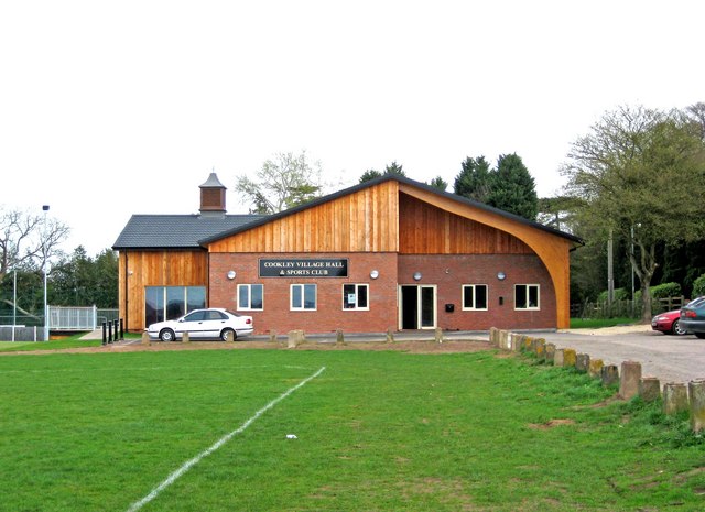
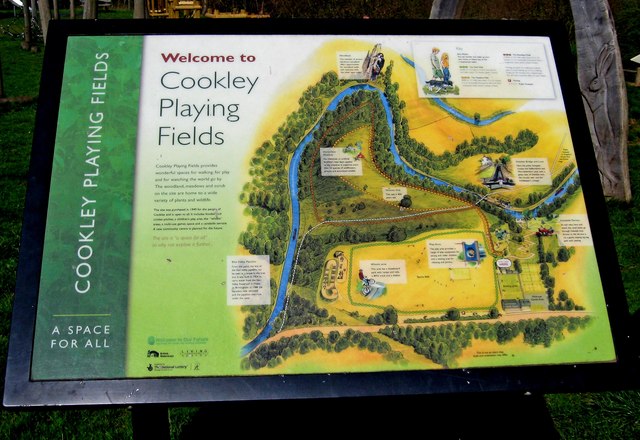
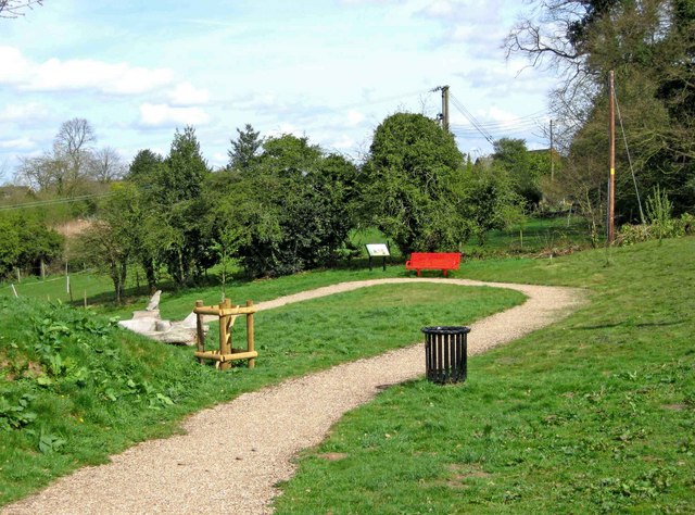
Cookley
Cookley is a village in the Wyre Forest District of Worcestershire, England, a few miles to the north of Kidderminster. Also, a few miles south-west of...
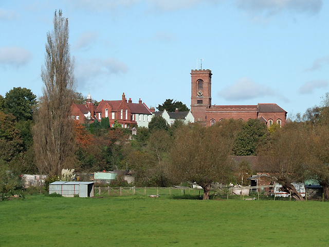
Wolverley
Wolverley is a village; with nearby Cookley (1 mi northeast), it forms a civil parish in the Wyre Forest District of Worcestershire, England. It is 2 miles...

Heathfield Knoll School
Heathfield Knoll School and First Steps Day Nursery is a small, independent, non-denominational day school and day nursery in Wolverley, near Kidderminster...

Caunsall
Caunsall is a hamlet in Worcestershire, England a few miles to the north of Kidderminster and close to the villages of Kinver, Cookley and Wolverley. It...
Wolverley Church of England Secondary School
Wolverley CofE Secondary School is located in the village of Wolverley, near Kidderminster in Worcestershire, England. The mixed gender school has approximately...

Blakeshall
Blakeshall is a hamlet in Worcestershire, England. It is one of the ancient townships of the manor of Wolverley, whose extent was similar to that of the...
Nearby Amenities
Located within 500m of 52.413213,-2.224909Have you been to Chestnut Coppice?
Leave your review of Chestnut Coppice below (or comments, questions and feedback).