Three Cornered Covert

Wood, Forest in Worcestershire Wyre Forest

England

Three Cornered Covert

Cookley Village Hall & Sports Club (1), Lea Lane, Cookley This £945,000 project was officially opened on the 5th February 2011. Over 300 people attended the opening. The facility replaced the old Parish Hall. The building comprises a sports club lounge, two meeting rooms with computers and internet, a kitchen, a snooker room and a 200 metre square hall, with a stage for performances.

<a href="https://www.geograph.org.uk/photo/2337173">SO8480 : Cookley Village Hall & Sports Club (2), Lea Lane, Cookley</a>.
Cookley Village Hall & Sports Club (1), Lea Lane, Cookley Credit: P L Chadwick

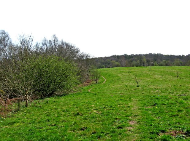
Three Cornered Covert is a picturesque woodland area located in Worcestershire, England. With its lush greenery and dense forest, it is a popular destination for nature enthusiasts and hikers alike. The woodland covers an area of approximately 100 acres, providing ample space for exploration and relaxation.

The forest is primarily composed of deciduous trees, including oak, beech, and birch, creating a diverse and vibrant ecosystem. The dense foliage provides a habitat for a variety of wildlife, including deer, squirrels, and various bird species. It is not uncommon to spot these creatures while wandering through the woods.

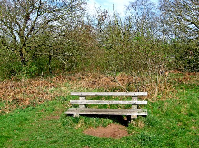
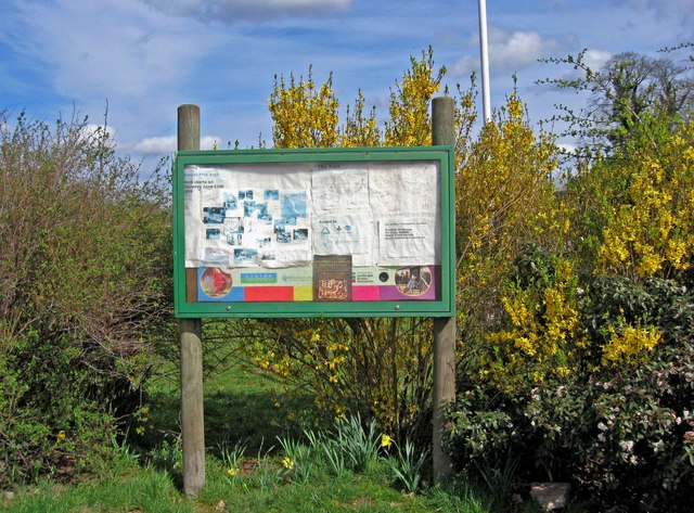
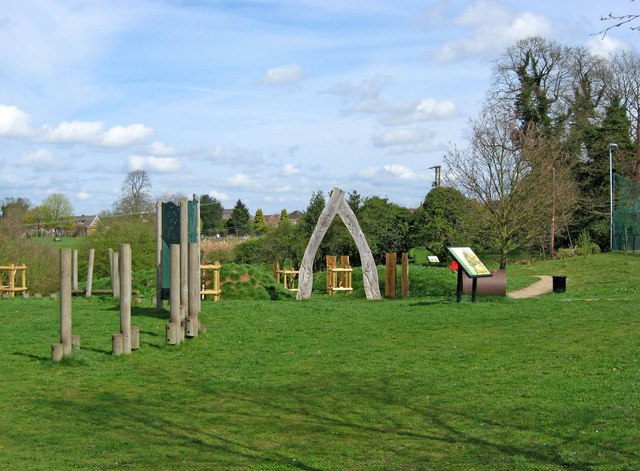
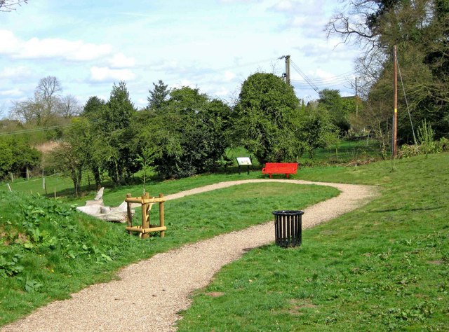
Three Cornered Covert is intersected by several well-marked trails, allowing visitors to easily navigate through the forest. These trails vary in length and difficulty, accommodating both casual strollers and avid hikers. Along the paths, benches are strategically placed, offering weary adventurers a chance to rest and take in the tranquil surroundings.

The woodland is also home to a small pond, where visitors can observe aquatic life and enjoy the peaceful ambiance. Surrounding the pond, there are picnic areas equipped with tables and grills, providing a perfect spot for a family outing or a leisurely lunch in nature.

Three Cornered Covert is open year-round, and each season brings its own unique charm. In spring, the forest floor is adorned with vibrant wildflowers, while autumn paints the trees in a stunning array of warm hues. During winter, the woodland is transformed into a snowy wonderland, creating a magical atmosphere for visitors.

Whether seeking solitude or a fun-filled day out, Three Cornered Covert offers a serene escape from the hustle and bustle of everyday life.

If you have any feedback on the listing, please let us know in the comments section below.

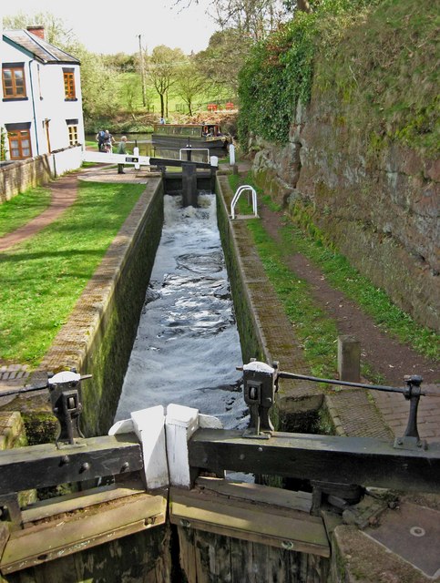
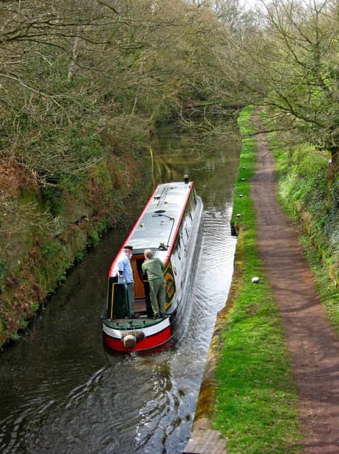
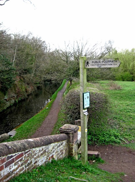
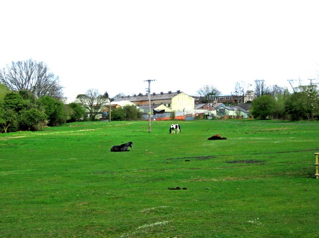
Three Cornered Covert Images

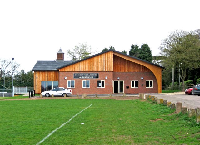
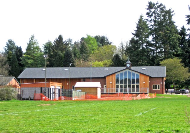
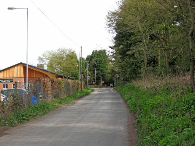
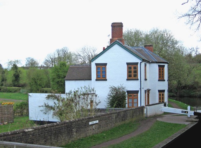
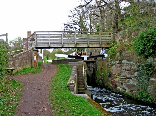
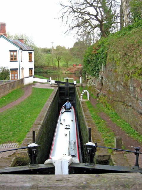
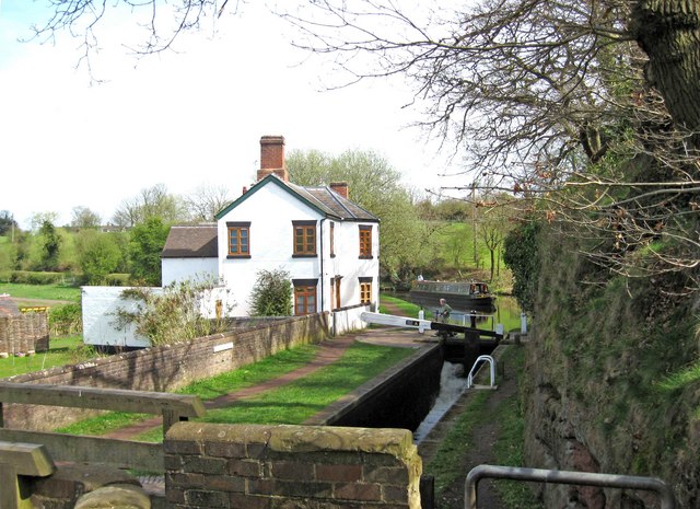
Images are sourced within 2km of 52.409747/-2.2224363 or Grid Reference SO8479. Thanks to Geograph Open Source API. All images are credited.

Cookley Village Hall & Sports Club (1), Lea Lane, Cookley This £945,000 project was officially opened on the 5th February 2011. Over 300 people attended the opening. The facility replaced the old Parish Hall. The building comprises a sports club lounge, two meeting rooms with computers and internet, a kitchen, a snooker room and a 200 metre square hall, with a stage for performances.

<a href="https://www.geograph.org.uk/photo/2337173">SO8480 : Cookley Village Hall & Sports Club (2), Lea Lane, Cookley</a>.
Cookley Village Hall & Sports Club (1), Lea Lane, Cookley
This £945,000 project was officially opened on the 5th February 2011. Over 300 people attended the opening. The facility replaced the old Parish Hall. The building comprises a sports club lounge, two meeting rooms with computers and internet, a kitchen, a snooker room and a 200 metre square hall, with a stage for performances. SO8480 : Cookley Village Hall & Sports Club (2), Lea Lane, Cookley.
Cookley Village Hall & Sports Club (2), Lea Lane, Cookley Outside the new village hall are various sports facilities, a play area for children, and an area for BMX bikes etc and skateboarding, called the Wheels Area.

<a href="https://www.geograph.org.uk/photo/2337154">SO8480 : Cookley Village Hall & Sports Club (1), Lea Lane, Cookley</a>.
Cookley Village Hall & Sports Club (2), Lea Lane, Cookley
Outside the new village hall are various sports facilities, a play area for children, and an area for BMX bikes etc and skateboarding, called the Wheels Area. SO8480 : Cookley Village Hall & Sports Club (1), Lea Lane, Cookley.
Lea Lane, Cookley At the approach to the village of Cookley. On the left is the new Village Hall.

<a href="https://www.geograph.org.uk/photo/2337154">SO8480 : Cookley Village Hall & Sports Club (1), Lea Lane, Cookley</a>.
Lea Lane, Cookley
At the approach to the village of Cookley. On the left is the new Village Hall. SO8480 : Cookley Village Hall & Sports Club (1), Lea Lane, Cookley.
Former Lock Keeper's Cottage, Debdale Lock, Staffs & Worcs Canal near Cookley In the long ago days of freight being carried on the canal, there would have been a resident lock keeper living here.

A different view:- <a href="https://www.geograph.org.uk/photo/3217505">SO8480 : Former Lock Keeper's Cottage, Debdale Lock, near Cookley</a>.
Former Lock Keeper's Cottage, Debdale Lock, Staffs & Worcs Canal near Cookley
In the long ago days of freight being carried on the canal, there would have been a resident lock keeper living here. A different view:- SO8480 : Former Lock Keeper's Cottage, Debdale Lock, near Cookley.
Debdale Lock, Staffs & Worcs Canal, near Cookley A footpath continues from the bridge up to Cookley Playing Fields. In the other direction it goes to Kingsford Forest Park.
Debdale Lock, Staffs & Worcs Canal, near Cookley
A footpath continues from the bridge up to Cookley Playing Fields. In the other direction it goes to Kingsford Forest Park.
Boat in Debdale Lock, Staffs & Worcs Canal, near Cookley There is a cavern beside this lock, which apparently used to be used as a stables for horses pulling boats along the canal. There is room for about four horses to lie down.
Boat in Debdale Lock, Staffs & Worcs Canal, near Cookley
There is a cavern beside this lock, which apparently used to be used as a stables for horses pulling boats along the canal. There is room for about four horses to lie down.
Plaque at Debdale Bridge (No. 22), Staffs & Worcs Canal, near Cookley The small bridge at Debdale Lock is, not surprisingly, called Debdale Bridge, and numbered 22. Usually these plaques are affixed to the bridge, but this one is attached to the lock wall under the bridge. The style of the plaque would seem to indicate it is probably a replacement, rather than an original.

<a href="https://www.geograph.org.uk/photo/2340638">SO8480 : Debdale Lock, Staffs & Worcs Canal, near Cookley</a>.
Plaque at Debdale Bridge (No. 22), Staffs & Worcs Canal, near Cookley
The small bridge at Debdale Lock is, not surprisingly, called Debdale Bridge, and numbered 22. Usually these plaques are affixed to the bridge, but this one is attached to the lock wall under the bridge. The style of the plaque would seem to indicate it is probably a replacement, rather than an original. SO8480 : Debdale Lock, Staffs & Worcs Canal, near Cookley.
Debdale Lock, Staffs & Worcs Canal, near Cookley A narrowboat can be seen approaching the lock. The former lock keeper's cottage is on the left.

<a href="https://www.geograph.org.uk/photo/2340591">SO8480 : Former Lock Keeper's Cottage, Debdale Lock, Staffs & Worcs Canal near Cookley</a>.
Debdale Lock, Staffs & Worcs Canal, near Cookley
A narrowboat can be seen approaching the lock. The former lock keeper's cottage is on the left. SO8480 : Former Lock Keeper's Cottage, Debdale Lock, Staffs & Worcs Canal near Cookley.
Debdale Lock, Staffs & Worcs Canal, near Cookley Another view of the lock:- <a href="https://www.geograph.org.uk/photo/2340721">SO8480 : Debdale Lock, Staffs & Worcs Canal, near Cookley</a>, and <a href="https://www.geograph.org.uk/photo/2340638">SO8480 : Debdale Lock, Staffs & Worcs Canal, near Cookley</a>.
Debdale Lock, Staffs & Worcs Canal, near Cookley
Narrowboat west of Debdale Lock, Staffs & Worcs Canal, near Cookley The narrowboat has just left Debdale Lock. The canal is particularly narrow at this point, and it wouldn't be much fun meeting another boat around here. Photographed from Debdale Bridge.

<a href="https://www.geograph.org.uk/photo/2340658">SO8480 : Boat in Debdale Lock, Staffs & Worcs Canal, near Cookley</a>.
Narrowboat west of Debdale Lock, Staffs & Worcs Canal, near Cookley
The narrowboat has just left Debdale Lock. The canal is particularly narrow at this point, and it wouldn't be much fun meeting another boat around here. Photographed from Debdale Bridge. SO8480 : Boat in Debdale Lock, Staffs & Worcs Canal, near Cookley.
Signpost by Debdale Bridge, Staffs & Worcs Canal, near Cookley The signpost points across a field, where there is a public footpath to Kingsford Forest Park, about a mile and a half away. Behind the signpost can be seen the canal and towpath.

<a href="https://www.geograph.org.uk/photo/2340826">SO8480 : Footpath across a field, near Cookley</a>.
Signpost by Debdale Bridge, Staffs & Worcs Canal, near Cookley
The signpost points across a field, where there is a public footpath to Kingsford Forest Park, about a mile and a half away. Behind the signpost can be seen the canal and towpath. SO8480 : Footpath across a field, near Cookley.
Footpath across a field, near Cookley There is a public footpath across this field, although it isn't immediately obvious quite where the footpath is. It leads to the popular Kingsford Forest Park, which is a nice place for walking, riding and other outdoor pursuits. In the distance can be seen some industrial buildings, which are on the edge of the village of Cookley.

<a href="https://www.geograph.org.uk/photo/2340802">SO8480 : Signpost by Debdale Bridge, Staffs & Worcs Canal, near Cookley</a>.
Footpath across a field, near Cookley
There is a public footpath across this field, although it isn't immediately obvious quite where the footpath is. It leads to the popular Kingsford Forest Park, which is a nice place for walking, riding and other outdoor pursuits. In the distance can be seen some industrial buildings, which are on the edge of the village of Cookley. SO8480 : Signpost by Debdale Bridge, Staffs & Worcs Canal, near Cookley.
Seat in Horseshoe Meadow, near Cookley Horseshoe Meadow is part of Cookley Playing Fields, which is an area open to the public to enjoy. There is a path from near the seat, which leads down to a path by the Staffs & Worcs Canal, on the opposite side to the towpath.
Seat in Horseshoe Meadow, near Cookley
Horseshoe Meadow is part of Cookley Playing Fields, which is an area open to the public to enjoy. There is a path from near the seat, which leads down to a path by the Staffs & Worcs Canal, on the opposite side to the towpath.
Footpath across Horseshoe Meadow, near Cookley The footpath goes to the Village Hall and car park, with a branch leading off and descending to Debdale Lock, on the nearby Staffs & Worcs Canal. The meadow, which is part of Cookley Playing Fields, is not treated with chemicals or artificial fertilisers. It supports more than fifty species of wildflowers, grasses and associated wildlife.
Footpath across Horseshoe Meadow, near Cookley
The footpath goes to the Village Hall and car park, with a branch leading off and descending to Debdale Lock, on the nearby Staffs & Worcs Canal. The meadow, which is part of Cookley Playing Fields, is not treated with chemicals or artificial fertilisers. It supports more than fifty species of wildflowers, grasses and associated wildlife.
Notice board, Cookley Playing Fields, Cookley Much of what is still on the board concerns the construction of a "natural play area", work on which was due to start on the 11th June 2009. It is now complete.

<a href="https://www.geograph.org.uk/photo/2341532">SO8480 : Natural Play Area, Cookley Playing Fields, Cookley</a>.
Notice board, Cookley Playing Fields, Cookley
Much of what is still on the board concerns the construction of a "natural play area", work on which was due to start on the 11th June 2009. It is now complete. SO8480 : Natural Play Area, Cookley Playing Fields, Cookley.
Natural Play Area, Cookley Playing Fields, Cookley This is part of the Natural Play Area, on which work started in June 2009.

<a href="https://www.geograph.org.uk/photo/2341513">SO8480 : Notice board, Cookley Playing Fields, Cookley</a>.
Natural Play Area, Cookley Playing Fields, Cookley
This is part of the Natural Play Area, on which work started in June 2009. SO8480 : Notice board, Cookley Playing Fields, Cookley.
Information board at Cookley Playing Fields, Cookley The board gives much information about the many facilities at the site.
Information board at Cookley Playing Fields, Cookley
The board gives much information about the many facilities at the site.
The zig-zag path to the Canalside Terrace, Cookley Playing Fields, Cookley This view is near the start of the zig-zag path, which gently slopes down to the Canalside Terrace. The terrace gives good views of the Staffs & Worcs Canal, and Debdale Lock.
The zig-zag path to the Canalside Terrace, Cookley Playing Fields, Cookley
This view is near the start of the zig-zag path, which gently slopes down to the Canalside Terrace. The terrace gives good views of the Staffs & Worcs Canal, and Debdale Lock.
Show me another place!

Three Cornered Covert is located at Grid Ref: SO8479 (Lat: 52.409747, Lng: -2.2224363)

Administrative County: Worcestershire

District: Wyre Forest

Police Authority: West Mercia

What 3 Words

///alien.behind.locker. Near Kidderminster, Worcestershire

Related Wikis

Axborough

Axborough is a low wooded hill east of Cookley in north Worcestershire, England. == History == Its Saxon name meant hassock grass barrow. This does not...
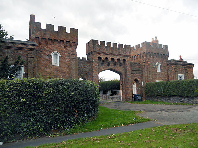
Lea Castle, England

Lea Castle is a ruined Grade II listed Neo Gothic mock castle mansion near Wolverley, England. == History == Lea Castle was built by Edward Knight in 1762...
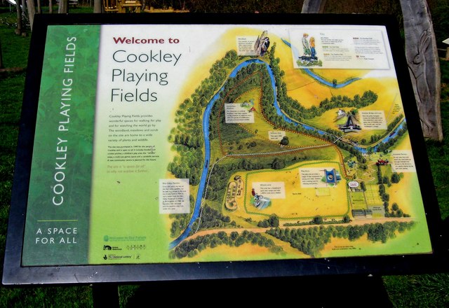
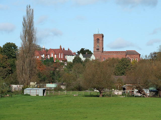
Cookley

Cookley is a village in the Wyre Forest District of Worcestershire, England, a few miles to the north of Kidderminster. Also, a few miles south-west of...

Heathfield Knoll School

Heathfield Knoll School and First Steps Day Nursery is a small, independent, non-denominational day school and day nursery in Wolverley, near Kidderminster...

Wolverley

Wolverley is a village; with nearby Cookley (1 mi northeast), it forms a civil parish in the Wyre Forest District of Worcestershire, England. It is 2 miles...

Caunsall

Caunsall is a hamlet in Worcestershire, England a few miles to the north of Kidderminster and close to the villages of Kinver, Cookley and Wolverley. It...

Wyre Forest (UK Parliament constituency)

Wyre Forest is a county constituency represented in the House of Commons of the Parliament of the United Kingdom. It elects one Member of Parliament...

The Shrubbery, Kidderminster

The Shrubbery is a former military installation in Kidderminster, Worcestershire. It is a Grade II listed building. == History == The building is an early...

Nearby Amenities

Located within 500m of 52.409747,-2.2224363
Traffic Signals
Traffic Signals: signal
Lat/Long: 52.4063982/-2.2265422
Bus Stop
Lea Castle Hospital-Bus Stop
Bus: yes
Naptan AtcoCode: 2000G200600
Naptan Bearing: W
Naptan CommonName: Lea Castle Hospital-Bus Stop
Naptan Indicator: Adj
Naptan Landmark: Park Gate Road
Naptan NaptanCode: wocdpatd
Naptan PlusbusZoneRef: KDRMNST
Naptan Street: Park Gate Road
Naptan Verified: no
Public Transport: platform
Source: naptan_import
Lat/Long: 52.4056025/-2.2227158
Traffic Signals
Traffic Signals: signal
Lat/Long: 52.4061118/-2.226748
Traffic Signals
Traffic Signals: signal
Traffic Signals Direction: forward
Lat/Long: 52.4063217/-2.2270283
Traffic Calming: island
Lat/Long: 52.4063175/-2.227002
Traffic Signals
Traffic Signals: signal
Traffic Signals Direction: backward
Lat/Long: 52.4062173/-2.2264191
Give Way
Lat/Long: 52.4060932/-2.2264738
Traffic Calming: island
Lat/Long: 52.4062214/-2.22644
Traffic Signals
Traffic Signals: signal
Lat/Long: 52.4063948/-2.2266427
The data included in this document is from www.openstreetmap.org. The data is made available under ODbL.

Have you been to Three Cornered Covert?

Leave your review of Three Cornered Covert below (or comments, questions and feedback).