Round Covert

Wood, Forest in Staffordshire Stafford

England

Round Covert

The last house in Eccleshall No doubt in a few years the next field along may become residential, as so many are.
The last house in Eccleshall Credit: David Howard

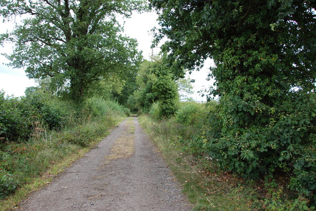
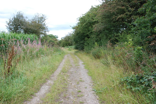
Round Covert is a small woodland area located in Staffordshire, England. Nestled amidst the picturesque countryside, it covers an approximate area of 50 acres. The covert is characterized by a dense canopy of trees, predominantly consisting of deciduous species such as oak, beech, and birch.

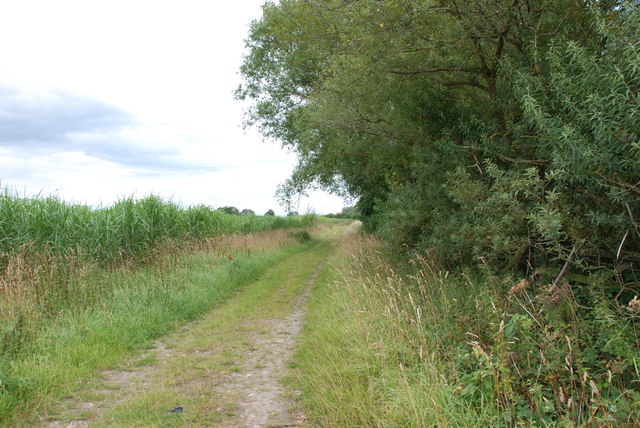
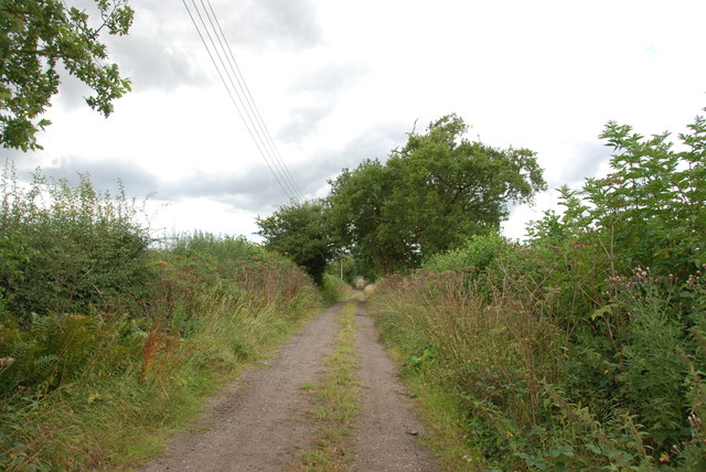
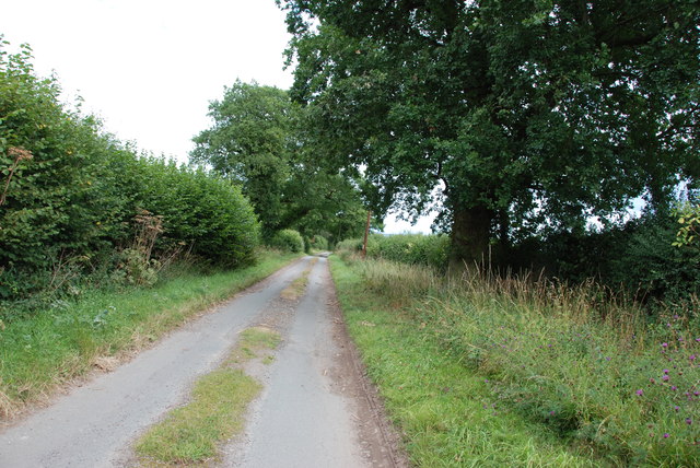
The woodland offers a tranquil retreat for nature enthusiasts and hikers alike. Numerous footpaths wind through the covert, allowing visitors to explore its natural beauty at their own pace. The forest floor is adorned with a rich carpet of moss, ferns, and wildflowers, creating a vibrant and diverse ecosystem.

Round Covert is home to a variety of wildlife, including numerous bird species such as woodpeckers, thrushes, and owls. Squirrels can be spotted darting through the trees, while rabbits and hedgehogs often scurry amidst the undergrowth. The occasional sighting of deer adds to the allure of this woodland sanctuary.

The overall ambiance of Round Covert is one of tranquility and serenity. The trees provide a natural barrier, muffling the sounds of the outside world and creating a peaceful atmosphere. The dappled sunlight streaming through the foliage adds to the enchanting experience, especially during the spring and summer months.

To ensure the preservation of this natural treasure, Round Covert is managed by local conservation organizations. Regular maintenance and conservation efforts are undertaken to protect the delicate balance of flora and fauna within the woodland.

For those seeking an escape from the hustle and bustle of everyday life, Round Covert offers a serene haven where one can reconnect with nature and enjoy the simple pleasures of woodland exploration.

If you have any feedback on the listing, please let us know in the comments section below.
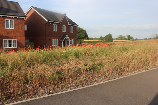
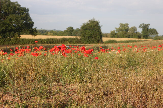
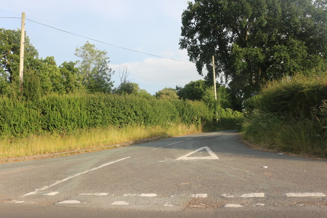
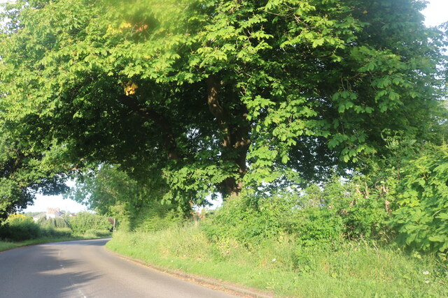
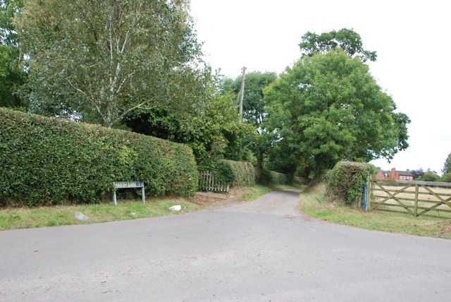
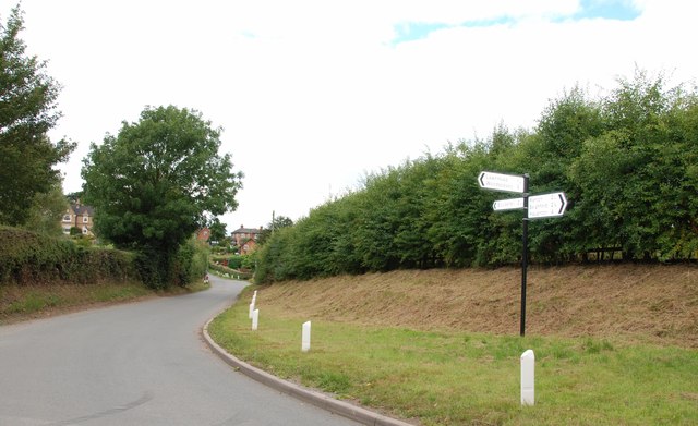
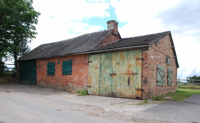
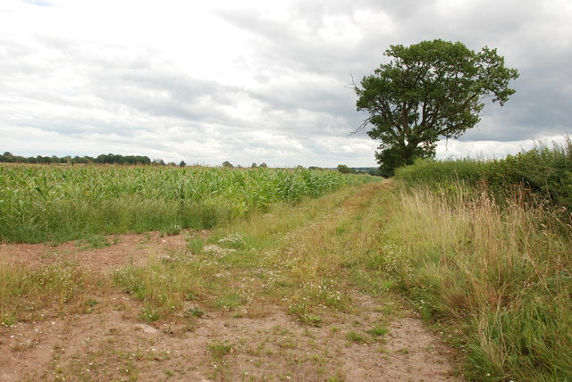
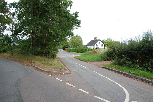
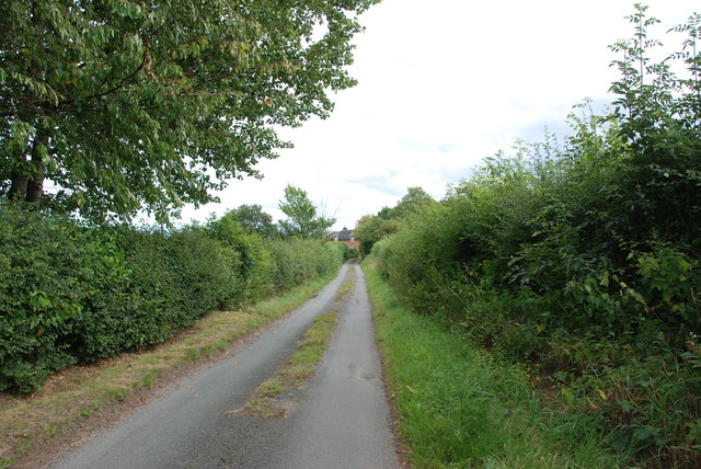
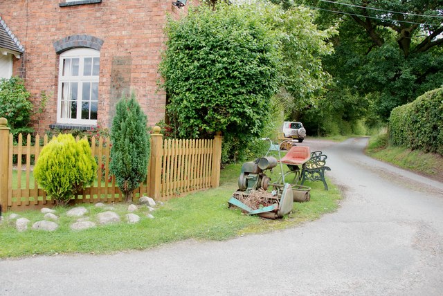
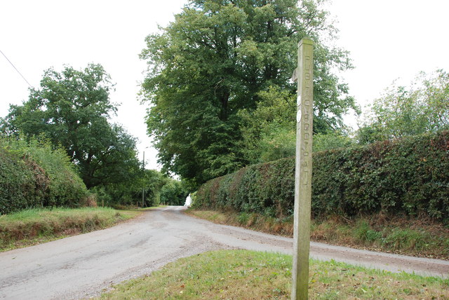
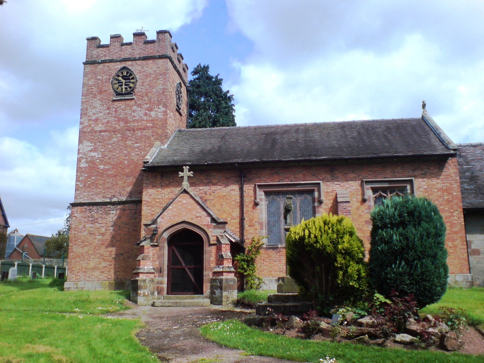
Round Covert Images

Images are sourced within 2km of 52.848362/-2.2246296 or Grid Reference SJ8427. Thanks to Geograph Open Source API. All images are credited.

The last house in Eccleshall No doubt in a few years the next field along may become residential, as so many are.
The last house in Eccleshall
No doubt in a few years the next field along may become residential, as so many are.
Poppies by Stafford Road, Eccleshall
Waltonhurst Road, Walton
Eccleshall Road, Walton
The Badger, Eccleshall
Narrow Track This track goes around the old Seighford airbase.
Narrow Track
This track goes around the old Seighford airbase.
Track to Nowhere There is a field of Reeds growing on the left hand side of this track.
Track to Nowhere
There is a field of Reeds growing on the left hand side of this track.
Looking back to Broadheath
Entrance to Marsh Lane, Ellenhall
Crossroads, Ellenhall Looking towards Ellenhall Hall.
Crossroads, Ellenhall
Looking towards Ellenhall Hall.
Old Building, Ellenhall This building looks as if it may have been a blacksmith's shop at one time.
Old Building, Ellenhall
This building looks as if it may have been a blacksmith's shop at one time.
Field of Sweetcorn, Track and Hedge
Road Junction with A5013 near Eccleshall
Narrow Lane to House This narrow lane is typical of a lot of lanes in this area.
Narrow Lane to House
This narrow lane is typical of a lot of lanes in this area.
House on the Junction No garden Gnomes for this house,
House on the Junction
No garden Gnomes for this house,
Footpath and entrance to Waltonhurst
Farm access Track This is just behind Ladfordfields Industrial Estate, although it seems miles from anywhere.
Farm access Track
This is just behind Ladfordfields Industrial Estate, although it seems miles from anywhere.
Looking towards the A5013
Show me another place!

Round Covert is located at Grid Ref: SJ8427 (Lat: 52.848362, Lng: -2.2246296)

Administrative County: Staffordshire

District: Stafford

Police Authority: Staffordshire

What 3 Words

///richer.mixed.riverboat. Near Eccleshall, Staffordshire

Nearby Locations

Round Covert

Related Wikis

Walton Hall Academy

Walton Hall Academy (formerly Walton Hall Community Special School) is a mixed special school of approximately 150 pupils. The school is based in Eccleshall...

Chebsey

Chebsey is a small village in Staffordshire 2.5 miles southeast of Eccleshall on a confluence of Eccleshall water and the River Sow some 5 miles northwest...

Ellenhall

Ellenhall is a small Staffordshire village roughly 2.5 miles south of Eccleshall originally comprising part of the extensive estates of the Earl of Lichfield...

Eccleshall

Eccleshall () is a town and civil parish in the Stafford district, in the county of Staffordshire, England. It is located seven miles northwest of Stafford...

Nearby Amenities

Located within 500m of 52.848362,-2.2246296
Bus Stop
Walton Hall School
Bus: yes
Naptan AtcoCode: 3800C714500
Naptan Bearing: SE
Naptan CommonName: Walton Hall School
Naptan Indicator: Adj
Naptan Landmark: Walton Hall Sch
Naptan Street: Stafford Rd
Naptan Verified: no
Public Transport: platform
Source: naptan_import
Lat/Long: 52.8504986/-2.2233525
Bus Stop
Walton Hall School West Entrance
Bus: yes
Naptan AtcoCode: 3800C714501
Naptan Bearing: N
Naptan CommonName: Walton Hall School West Entrance
Naptan Indicator: Opp
Naptan Landmark: Walton Hall Sch
Naptan Street: Stafford Rd
Naptan Verified: no
Public Transport: platform
Source: naptan_import
Lat/Long: 52.8500687/-2.222489
Bus Stop
Walton Hall Special School East Entrance
Bus: yes
Naptan AtcoCode: 3800C714502
Naptan Bearing: NW
Naptan CommonName: Walton Hall Special School East Entrance
Naptan Indicator: Opp
Naptan Street: Stafford Road
Naptan Verified: no
Public Transport: platform
Source: naptan_import
Lat/Long: 52.8504891/-2.2236643
The data included in this document is from www.openstreetmap.org. The data is made available under ODbL.

Have you been to Round Covert?

Leave your review of Round Covert below (or comments, questions and feedback).