Wheatcroft Covert
Wood, Forest in Staffordshire Stafford
England
Wheatcroft Covert
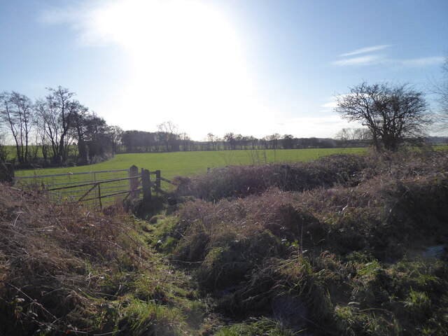
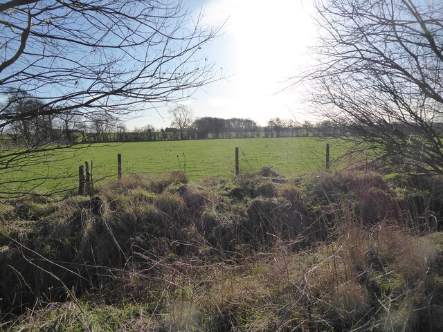
Wheatcroft Covert, located in Staffordshire, England, is a picturesque wood and forest area that spans over a significant land area. With its lush greenery and diverse ecosystem, this natural reserve offers a tranquil escape for nature enthusiasts and visitors seeking a peaceful retreat.
The woodland is home to a wide variety of tree species, including oak, birch, beech, and pine, which contribute to the rich biodiversity of the area. The dense canopy provides shelter and nesting sites for numerous bird species, making it a popular spot for birdwatchers. Additionally, the forest floor is adorned with a vibrant carpet of wildflowers and ferns, adding to the beauty of the landscape.
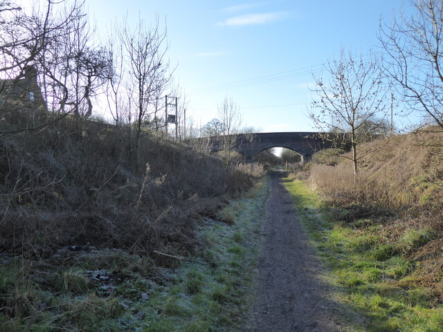
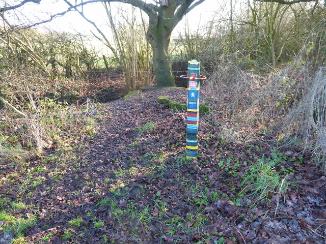
Wheatcroft Covert boasts several walking trails and footpaths, allowing visitors to explore the area at their own pace. These paths wind through the forest, providing an opportunity to immerse oneself in the sights and sounds of nature. Along the way, hikers might encounter various wildlife species, such as deer, foxes, badgers, and rabbits, making for an exciting wildlife-spotting experience.
The woodland is managed by a dedicated team of conservationists who strive to maintain and protect its natural beauty. They ensure that the ecosystem remains undisturbed and work to preserve the delicate balance between flora and fauna.
Overall, Wheatcroft Covert is a captivating natural reserve that offers a serene environment for individuals to connect with nature. Its lush vegetation, diverse wildlife, and well-maintained trails make it an excellent destination for outdoor enthusiasts and those seeking solace in the midst of nature's splendor.
If you have any feedback on the listing, please let us know in the comments section below.
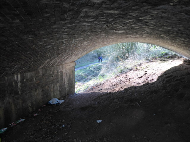
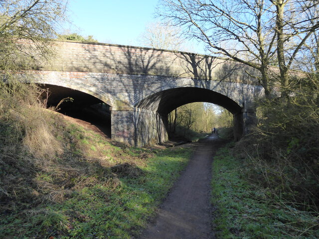
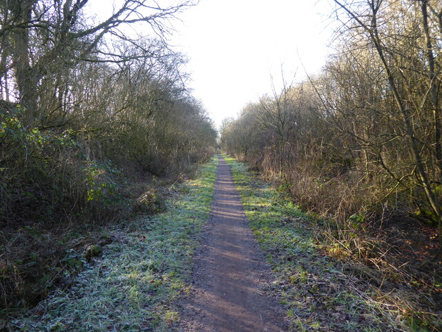
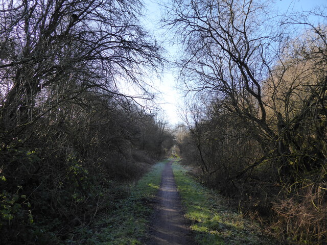
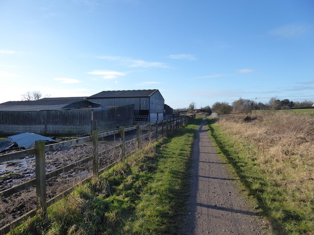
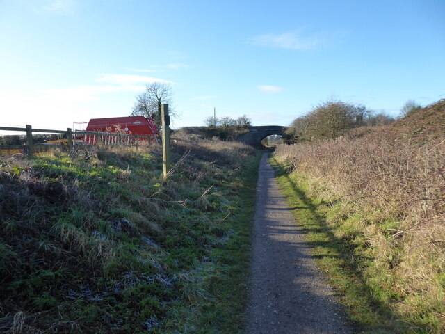
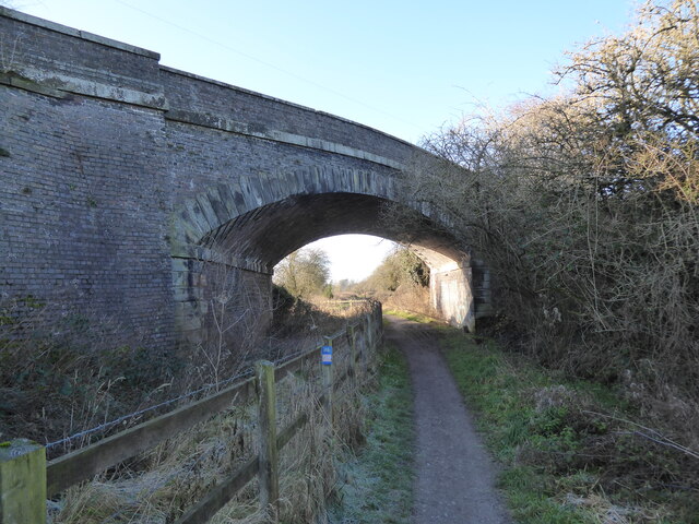
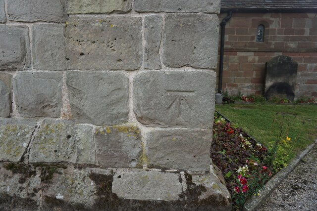
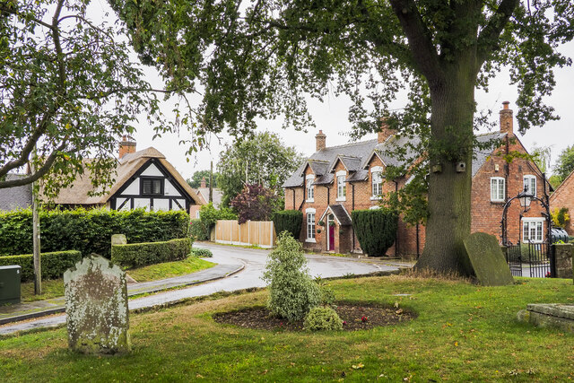
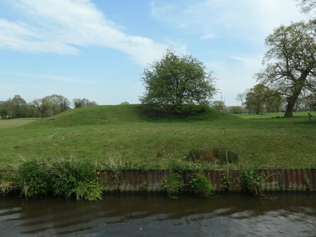
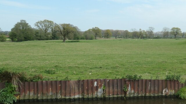
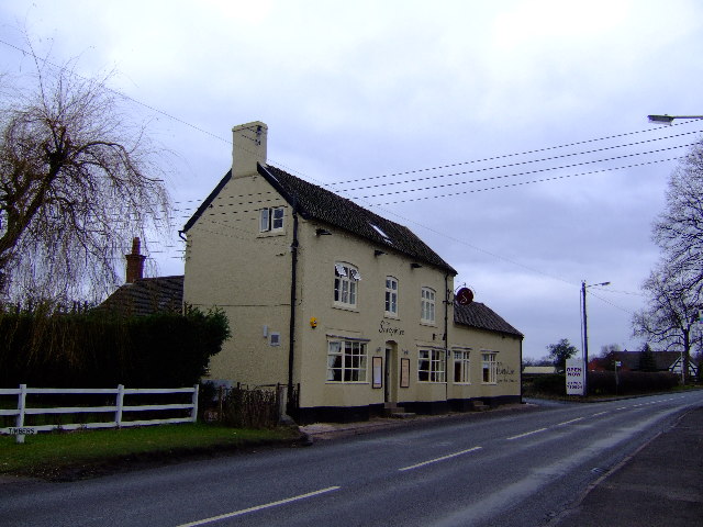
Wheatcroft Covert Images
Images are sourced within 2km of 52.770892/-2.2242006 or Grid Reference SJ8419. Thanks to Geograph Open Source API. All images are credited.
Wheatcroft Covert is located at Grid Ref: SJ8419 (Lat: 52.770892, Lng: -2.2242006)
Administrative County: Staffordshire
District: Stafford
Police Authority: Staffordshire
What 3 Words
///again.unheated.smile. Near Gnosall, Staffordshire
Nearby Locations
Related Wikis

Apeton
Apeton is a hamlet in Staffordshire in the West Midlands region of England. It is located 5+1⁄2 miles (8.9 km) southwest of Stafford, in the civil parish...

Allimore Green
Allimore Green is a small hamlet in Staffordshire, England, 1 mile north-east of Church Eaton. It is the location of a Site of Special Scientific Interest...

Church Eaton
Church Eaton is a village and civil parish in Staffordshire some 6 miles (10 km) southwest of Stafford, 6 miles (10 km) northwest of Penkridge and 4 miles...

Brazenhill
Brazenhill is rural area immediately north of the village of Haughton in Staffordshire, England. It is effectively defined by Brazenhill Lane which is...
Haughton, Staffordshire
Haughton is a village in Staffordshire, England, approximately 4 miles outside and to the west of the county town of Stafford. It lies on the A518 between...

Gnosall railway station
Gnosall railway station was a station in Gnosall, Staffordshire, England. The station was opened in June 1849 and closed on 7 September 1964. == References... ==
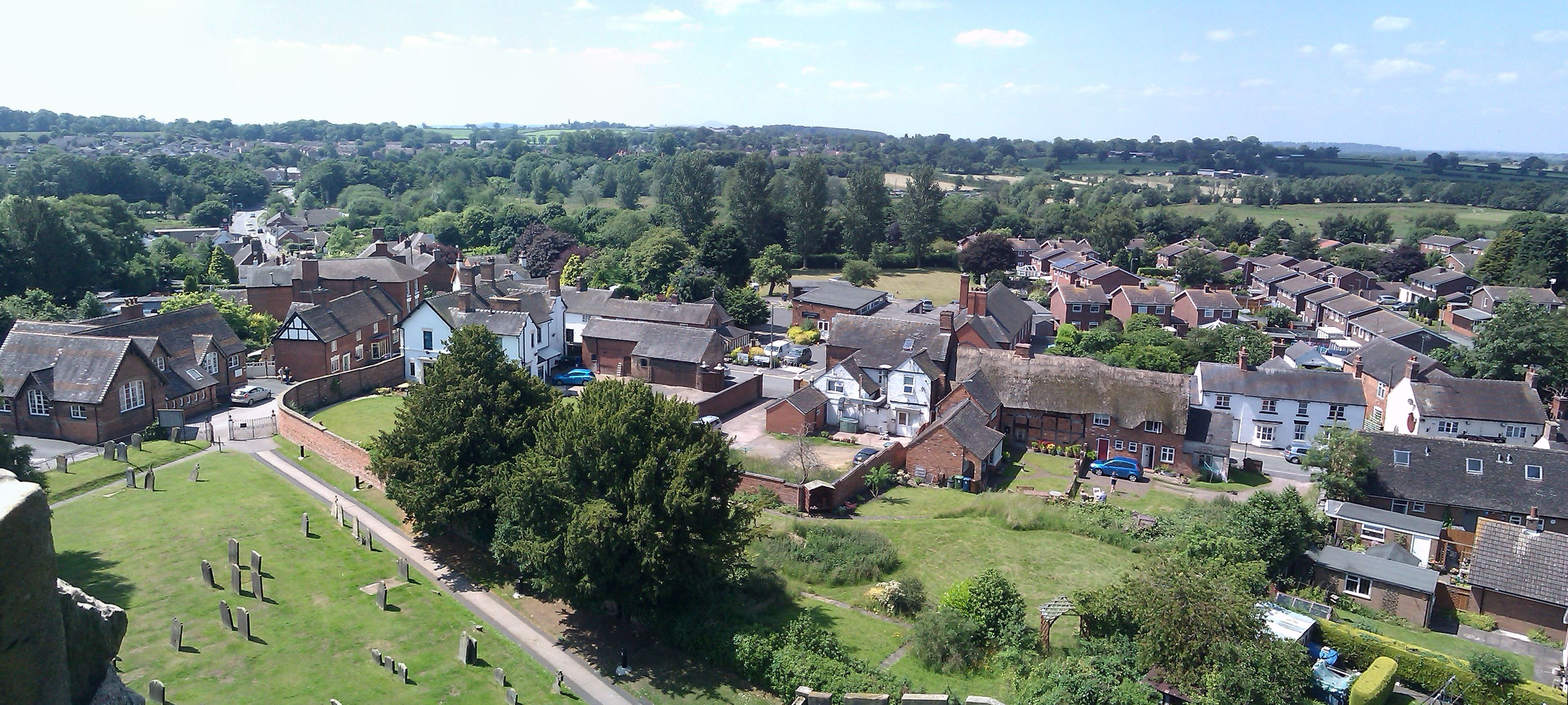
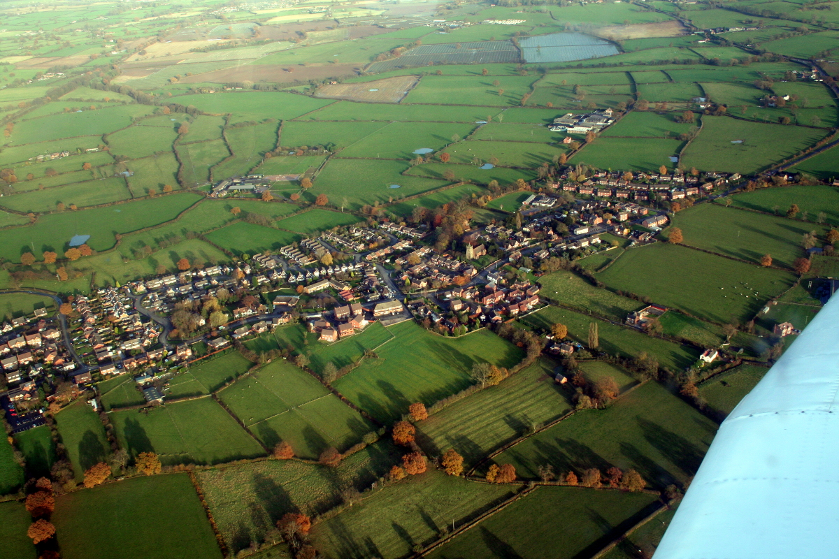
Gnosall
Gnosall () is a village and civil parish in the Borough of Stafford, Staffordshire, England, with a population of 4,736 across 2,048 households (2011 census...

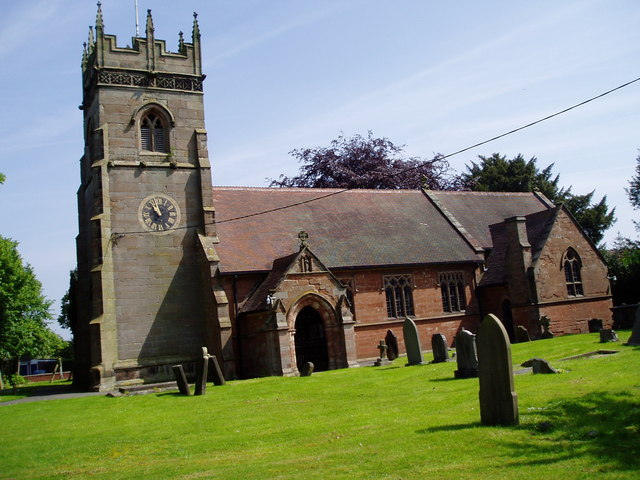
St Lawrence's Church, Gnosall
St Lawrence's Church is an Anglican church in Gnosall, Staffordshire, England. It is a Grade I listed building. The earliest parts of the church are of...
Nearby Amenities
Located within 500m of 52.770892,-2.2242006Have you been to Wheatcroft Covert?
Leave your review of Wheatcroft Covert below (or comments, questions and feedback).